Station Wood
Wood, Forest in Shropshire
England
Station Wood

Station Wood is a dense woodland located in Shropshire, England. It is situated near the village of Wood, providing a serene and picturesque escape for nature enthusiasts and visitors alike. With an area spanning approximately 50 acres, this forested area offers a diverse array of flora and fauna, making it an ideal destination for wildlife spotting and nature walks.
The wood is easily accessible, thanks to its proximity to Wood village and the nearby train station, which gives it its name. The terrain is relatively flat, making it suitable for people of all ages and physical abilities to explore. There are well-maintained footpaths and trails that wind through the woodland, providing a pleasant and tranquil setting for leisurely walks or more vigorous hikes.
The woodland is predominantly composed of deciduous trees, such as oak, beech, and birch, which create a dense canopy overhead, offering shade during the summer months. The forest floor is covered in a lush carpet of ferns, mosses, and wildflowers, adding to the natural beauty of the area. Various bird species can be spotted in the treetops, including woodpeckers, owls, and songbirds.
Station Wood is also home to a variety of mammals, such as foxes, badgers, and deer, which can occasionally be seen roaming through the undergrowth. The tranquil atmosphere and abundance of wildlife make this woodland a popular spot for nature photographers and wildlife enthusiasts.
Overall, Station Wood in Shropshire offers visitors a peaceful and idyllic setting to immerse themselves in nature and enjoy the beauty of the English countryside.
If you have any feedback on the listing, please let us know in the comments section below.
Station Wood Images
Images are sourced within 2km of 52.762624/-2.7784631 or Grid Reference SJ4718. Thanks to Geograph Open Source API. All images are credited.


Station Wood is located at Grid Ref: SJ4718 (Lat: 52.762624, Lng: -2.7784631)
Unitary Authority: Shropshire
Police Authority: West Mercia
What 3 Words
///convey.courage.ozone. Near Bicton, Shropshire
Nearby Locations
Related Wikis

Pimhill
Pimhill is a geographically large civil parish in Shropshire, England, to the north of Shrewsbury. It is named after a hill, which rises to 163 m, sometimes...
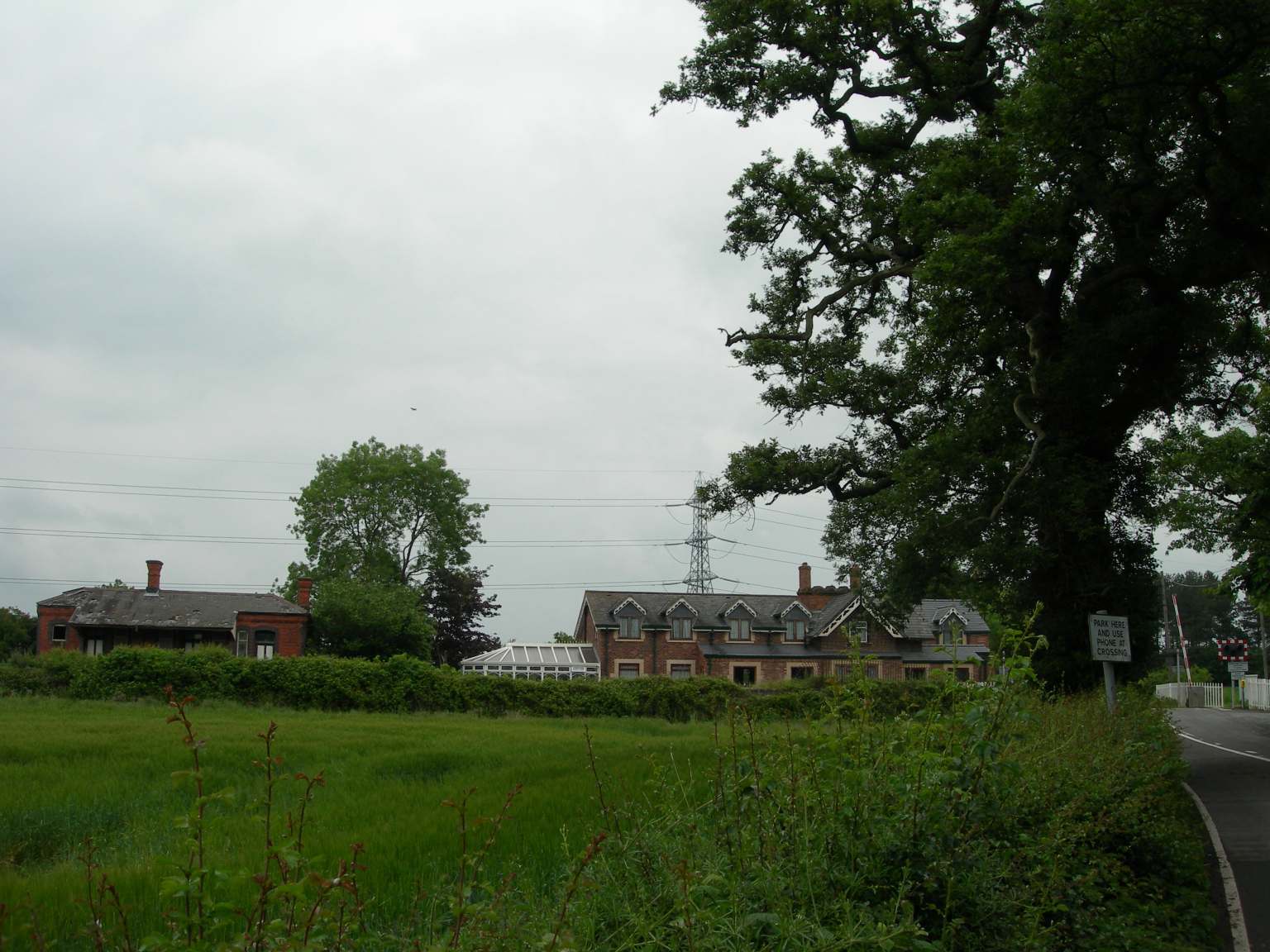
Leaton railway station
Leaton railway station was a minor station located about six miles north of Shrewsbury on the GWR's Paddington to Birkenhead main line. Today this is part...
Leaton
Leaton is a small village in Shropshire, England. It is situated on the B5067, Shrewsbury to Baschurch road, in the parish of Pimhill. The village has...

Bomere Heath
Bomere Heath ( BOW-mə) is a village in Shropshire, England, which lies north of the county town of Shrewsbury and between Baschurch and Harlescott. It...

Dunnsheath
Dunnsheath is a hamlet in Shropshire, England. It is sometimes spelt as "Dunn's Heath".It is situated on the B5067, Shrewsbury to Baschurch road, in the...

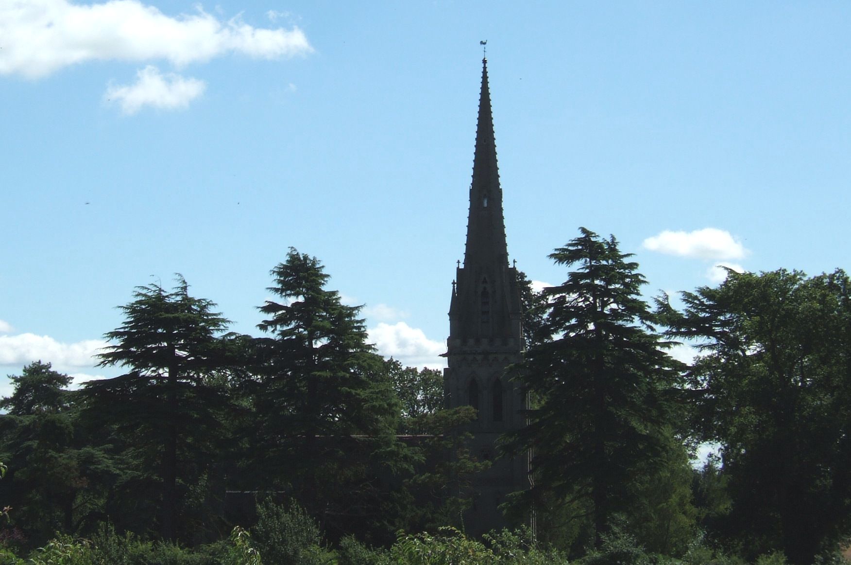
St Martin's Church, Preston Gubbals
St Martin's Church is a redundant Anglican church in the village of Preston Gubbals, Shropshire, England. It is recorded in the National Heritage List...

Preston Gubbals
Preston Gubbalds is a small village and former civil parish, now in the parish of Pimhill, in the Shropshire district, in the ceremonial county of Shropshire...

Albrighton Hall, Shrewsbury
Albrighton Hall near Shrewsbury, Shropshire, is a house which is Grade II* listed on the National Heritage List for England. It was built in 1630 for the...
Nearby Amenities
Located within 500m of 52.762624,-2.7784631Have you been to Station Wood?
Leave your review of Station Wood below (or comments, questions and feedback).