Simshill Wood
Wood, Forest in Somerset
England
Simshill Wood
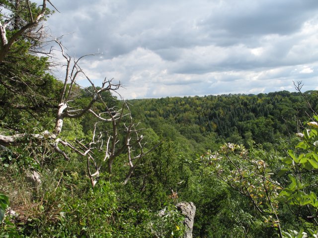
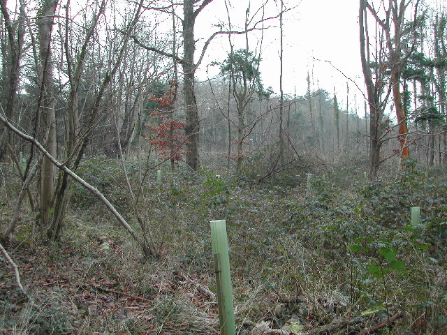
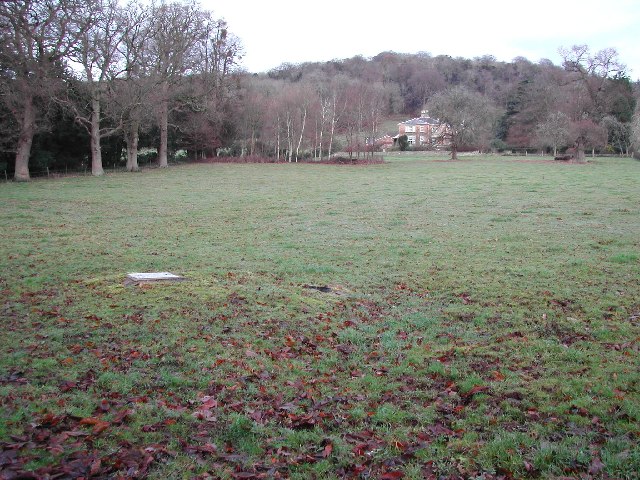
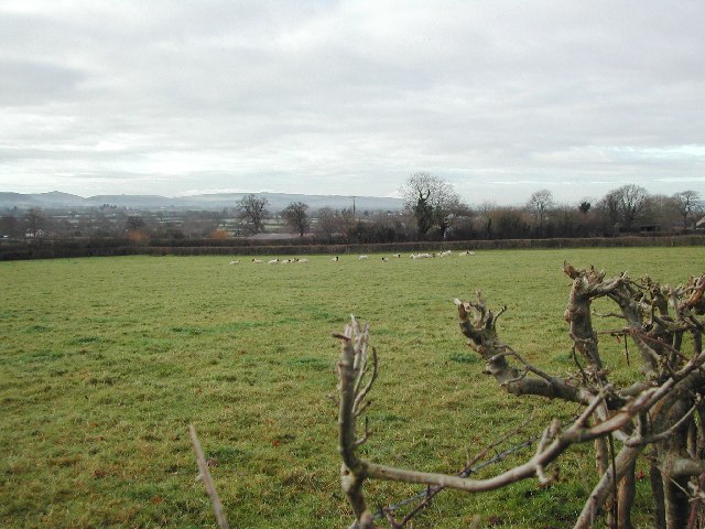
Simshill Wood is a picturesque woodland located in Somerset, England. It covers an area of approximately 50 acres and is a popular destination for nature enthusiasts and hikers alike. The wood is situated on the outskirts of a small village called Simshill, hence its name.
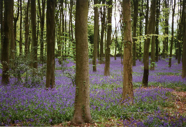
The wood is predominantly composed of native broadleaf trees such as oak, beech, and ash, creating a diverse and vibrant ecosystem. These trees provide shelter and habitat for a variety of wildlife, including squirrels, rabbits, and various species of birds. The wood is also known for its abundance of bluebells in the spring, which creates a stunning carpet of vibrant purple.
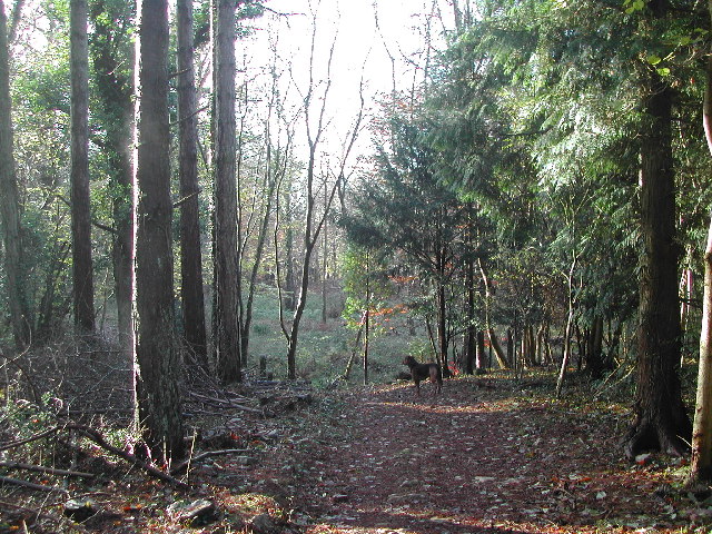
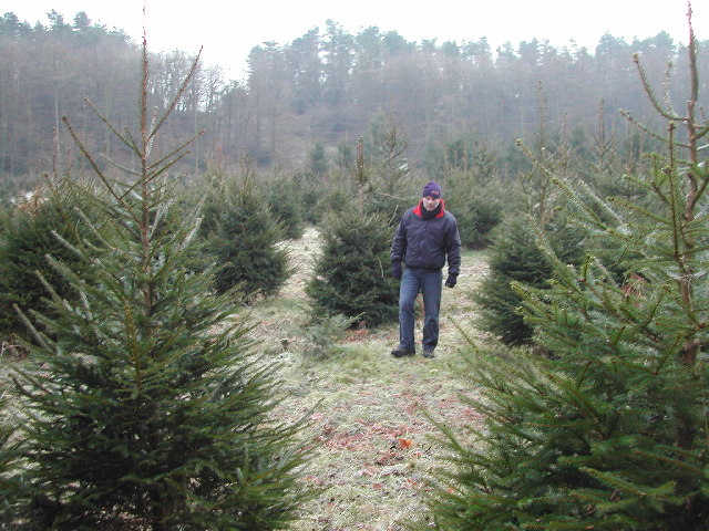
There are several well-maintained walking trails that meander through Simshill Wood, allowing visitors to explore its natural beauty. These trails vary in difficulty and length, catering to both casual walkers and more experienced hikers. Along the way, visitors can enjoy the serene atmosphere, breathe in the fresh air, and take in the beautiful sights and sounds of nature.
In addition to its natural beauty, Simshill Wood also offers recreational activities such as picnicking and photography. The wood is a popular spot for families and groups of friends to gather and enjoy a day out in nature. There are designated picnic areas with benches and tables, providing a comfortable space for visitors to relax and enjoy a meal surrounded by the tranquil surroundings.
Overall, Simshill Wood is a hidden gem in Somerset, offering a peaceful retreat for nature lovers and outdoor enthusiasts. Its stunning woodland, diverse wildlife, and recreational opportunities make it a must-visit destination for anyone seeking a connection with nature.
If you have any feedback on the listing, please let us know in the comments section below.
Simshill Wood Images
Images are sourced within 2km of 51.368821/-2.7654786 or Grid Reference ST4663. Thanks to Geograph Open Source API. All images are credited.
Simshill Wood is located at Grid Ref: ST4663 (Lat: 51.368821, Lng: -2.7654786)
Unitary Authority: North Somerset
Police Authority: Avon and Somerset
What 3 Words
///distract.encoded.outermost. Near Wrington, Somerset
Nearby Locations
Related Wikis

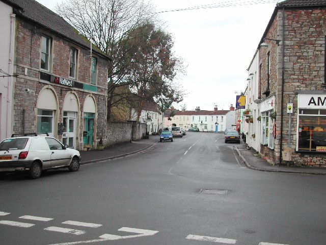
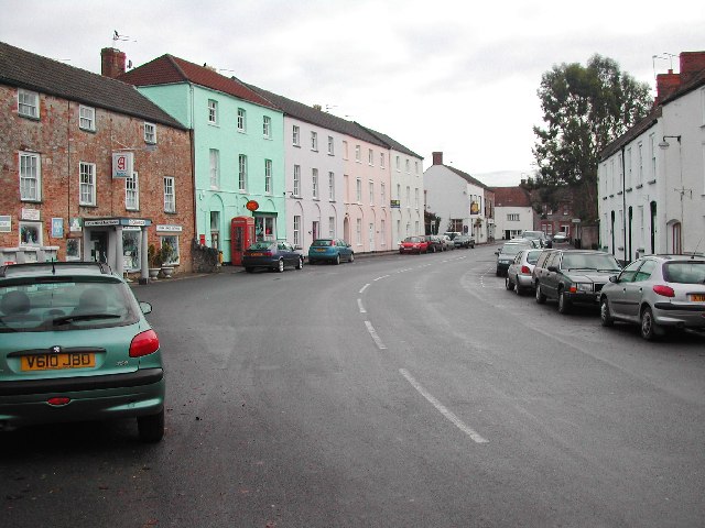
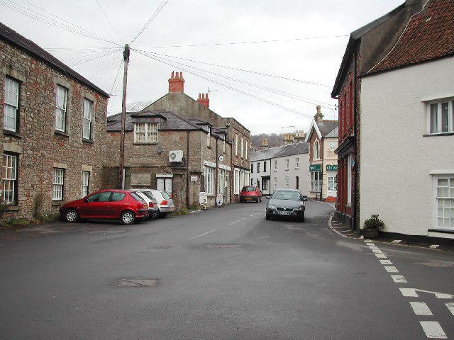
Wrington
Wrington is a village and a civil and ecclesiastical parish on the north slopes of the Mendip Hills in North Somerset, England. Both include nearby Redhill...
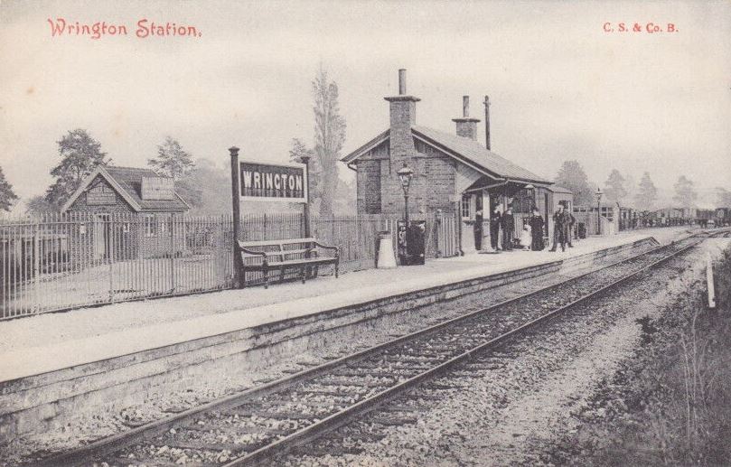
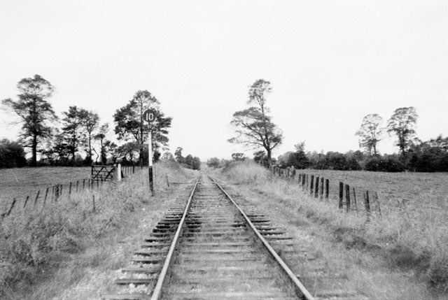
Wrington railway station
Wrington railway station was a station at Wrington on the Wrington Vale Light Railway, which ran from Congresbury to Blagdon, in Somerset, England. The...

Goblin Combe
Goblin Combe is a dry valley in North Somerset which stretches for approximately 3½ km from Redhill, near Bristol International Airport on the A38, through...

King's Wood and Urchin Wood SSSI
King's Wood and Urchin Wood SSSI (grid reference ST454645) is a 128.1 hectare biological Site of Special Scientific Interest near the villages of Cleeve...

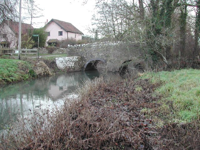
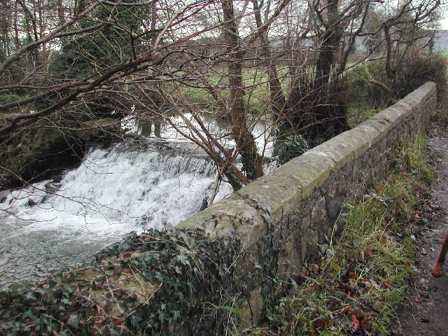
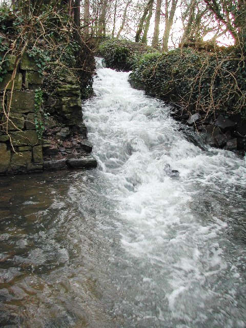
Bow Bridge, Iwood
Bow Bridge ( ) is a Grade II listed stone arched bridge, that crosses the Congresbury Yeo at Iwood, a hamlet of Congresbury in North Somerset. The bridge...

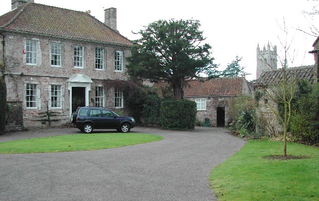
Urchinwood Manor
Urchinwood Manor is a Grade II* listed building at Congresbury within the English county of Somerset.Part of the house was built around 1620 with additions...
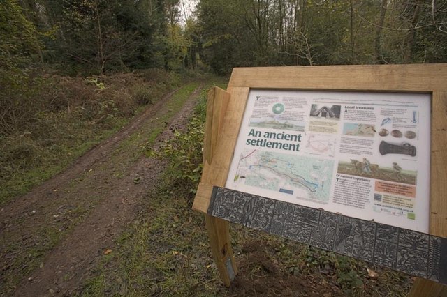
Cleeve Toot
Cleeve Toot is an Iron Age univallate hillfort above Goblin Combe, Cleeve, Somerset, England. It is a Scheduled Ancient Monument.It is a roughly oval settlement...

Cleeve, Somerset
Cleeve is a village and civil parish in the ceremonial county of Somerset, England. It is situated within the unitary authority of North Somerset, 9 miles...
Nearby Amenities
Located within 500m of 51.368821,-2.7654786Have you been to Simshill Wood?
Leave your review of Simshill Wood below (or comments, questions and feedback).