Round Clump
Wood, Forest in Lancashire
England
Round Clump

Round Clump is a small woodland area located in Lancashire, England. Situated near the town of Clitheroe, it forms part of the larger Forest of Bowland, an Area of Outstanding Natural Beauty. The woodland is known for its circular shape, hence the name "Round Clump."
Covering an area of approximately 50 acres, Round Clump is predominantly made up of mixed deciduous and coniferous trees, including oak, beech, birch, and pine. The diverse range of tree species creates a rich and vibrant habitat for various wildlife, making it a popular spot for nature enthusiasts and birdwatchers.
The woodland boasts a network of well-maintained footpaths that meander through the trees, providing opportunities for visitors to explore and enjoy the peaceful surroundings. These paths offer picturesque views of the surrounding countryside, with rolling hills and dales in the distance.
Round Clump is home to a variety of wildlife, including deer, squirrels, and a wide range of bird species. The diverse ecosystem provides ample food sources and shelter for these creatures, making it an important conservation area.
The woodland is open to the public year-round, and visitors can enjoy activities such as walking, picnicking, and nature observation. It is also a popular destination for photographers, thanks to its natural beauty and tranquil atmosphere.
Overall, Round Clump in Lancashire is a small but beautiful woodland area that offers visitors a chance to connect with nature and experience the serene beauty of the Forest of Bowland.
If you have any feedback on the listing, please let us know in the comments section below.
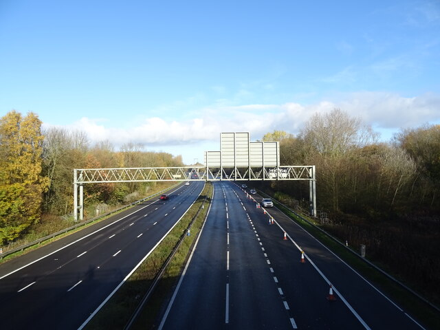
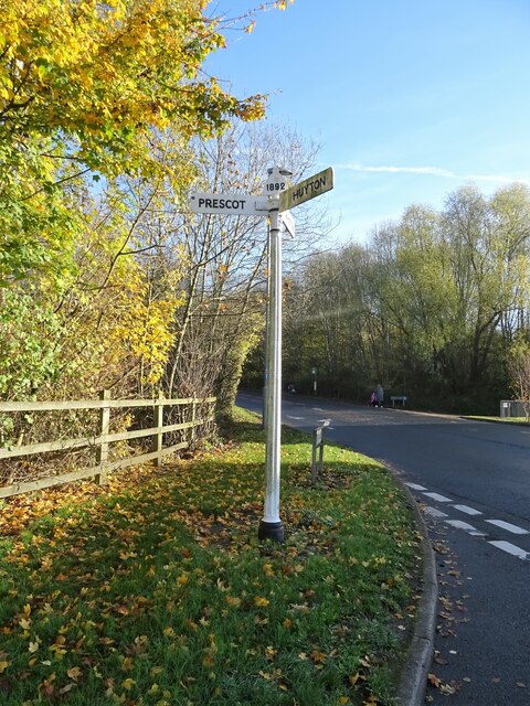
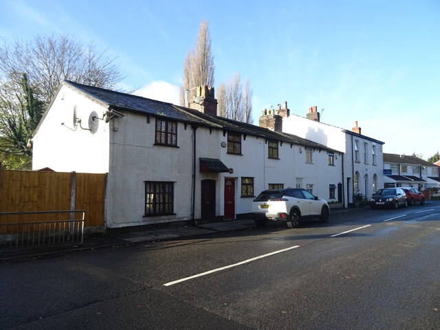
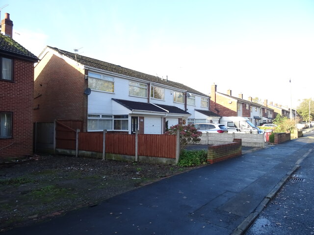
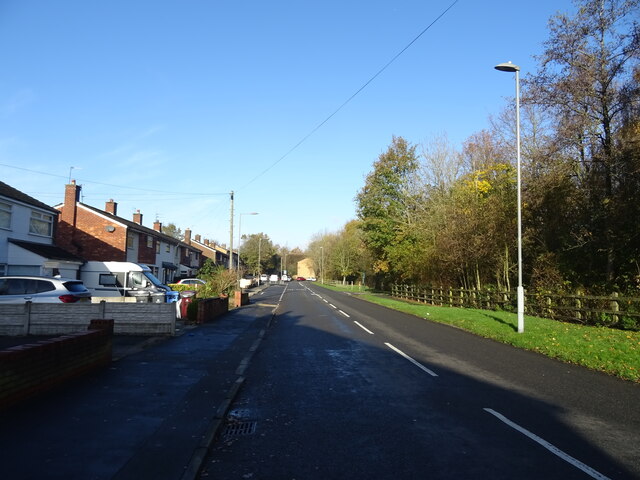
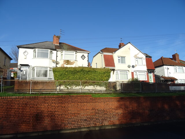
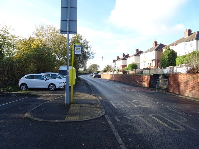
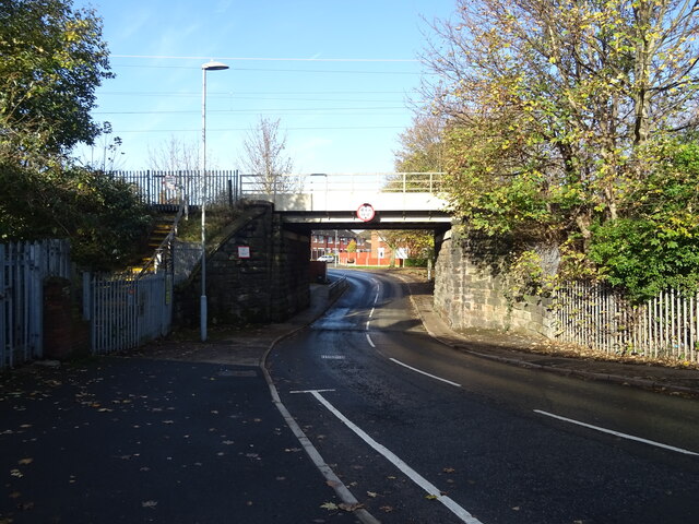
Round Clump Images
Images are sourced within 2km of 53.403217/-2.8015424 or Grid Reference SJ4689. Thanks to Geograph Open Source API. All images are credited.


Round Clump is located at Grid Ref: SJ4689 (Lat: 53.403217, Lng: -2.8015424)
Unitary Authority: Knowsley
Police Authority: Merseyside
What 3 Words
///locals.layers.mirror. Near Whiston, Merseyside
Nearby Locations
Related Wikis
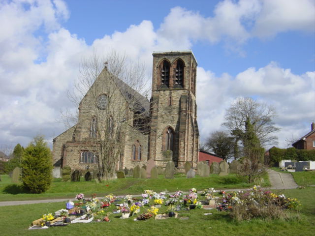
St Nicholas Church, Whiston
St Nicholas Church is in Windy Arbour Road, Whiston, Merseyside, England. It is an active Anglican parish church in the diocese of Liverpool. The church...

Halsnead Garden Village
Halsnead Garden Village is a proposed "garden" village close to the Halsnead Park area of Whiston in Knowsley, Merseyside...
Murders of John Greenwood and Gary Miller
The murders of John Greenwood (1968 or 1969 – 16 August 1980) and Gary Miller (1968 or 1969 – 16 August 1980), also referred to as the 'Whiston murder...

Stadt Moers Park
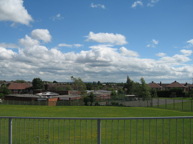
Stadt Moers Park is a public park located in Whiston, Merseyside in the Metropolitan Borough of Knowsley. The park covers 220 acres (0.89 km2) of land...
Whiston, Merseyside
Whiston is a town and civil parish within the Metropolitan Borough of Knowsley in Merseyside, England. Previously recorded within the historic county of...
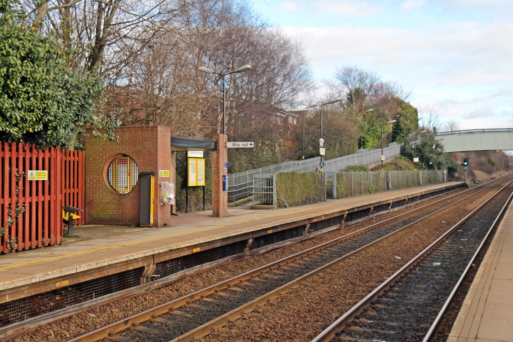
Whiston railway station
Whiston railway station serves the village of Whiston in Merseyside, England. The station, and all trains serving it, are operated by Northern Trains...
Huyton Quarry railway station
According to Butt Huyton Quarry railway station opened in 1830 as part of the Liverpool and Manchester Railway, but Holt suggests it was originally known...
St Edmund Arrowsmith Catholic Academy, Whiston
St Edmund Arrowsmith Catholic Academy (formerly St Edmund Arrowsmith Catholic High School) is a coeducational Roman Catholic secondary school located in...
Nearby Amenities
Located within 500m of 53.403217,-2.8015424Have you been to Round Clump?
Leave your review of Round Clump below (or comments, questions and feedback).