Cock Hat Covert
Wood, Forest in Somerset South Somerset
England
Cock Hat Covert
Cock Hat Covert, located in Somerset, England, is a picturesque woodland area known for its natural beauty and diverse wildlife. Covering an area of approximately 50 hectares, the covert is situated within the larger Blackdown Hills Area of Outstanding Natural Beauty.
The woodland is characterized by a mixture of broad-leaved and coniferous trees, providing a varied habitat for a wide range of flora and fauna. Ancient oaks, beech, and ash trees dominate the landscape, creating a dense canopy that offers shade and shelter to numerous species.
Wildlife enthusiasts will delight in the rich biodiversity found within Cock Hat Covert. The woodland is home to various bird species, such as woodpeckers, owls, and songbirds, making it an ideal spot for birdwatching. Visitors may also spot mammals including deer, foxes, badgers, and rabbits, as well as smaller creatures like squirrels and hedgehogs.
The woodland is crisscrossed by a network of footpaths, allowing visitors to explore its beauty at their own pace. The tranquil environment and the soothing sounds of nature make Cock Hat Covert a popular destination for walkers, hikers, and nature lovers seeking solace in the great outdoors.
Managed by local authorities, the area is well-preserved, ensuring the conservation of its natural heritage. Visitors are encouraged to respect the woodland and its inhabitants, adhering to designated trails and taking their litter with them.
Overall, Cock Hat Covert in Somerset provides a haven of serenity and a haven for wildlife, making it a must-visit destination for those seeking a peaceful retreat in the heart of nature.
If you have any feedback on the listing, please let us know in the comments section below.
Cock Hat Covert Images
Images are sourced within 2km of 50.878638/-2.7572175 or Grid Reference ST4609. Thanks to Geograph Open Source API. All images are credited.


Cock Hat Covert is located at Grid Ref: ST4609 (Lat: 50.878638, Lng: -2.7572175)
Administrative County: Somerset
District: South Somerset
Police Authority: Avon and Somerset
What 3 Words
///gardens.mermaids.materials. Near Crewkerne, Somerset
Nearby Locations
Related Wikis

North Perrott Manor House
North Perrott Manor House which later became Perrott Hill School in North Perrott, Somerset, England was built in 1877 by Thomas Henry Wyatt. It is a Grade...
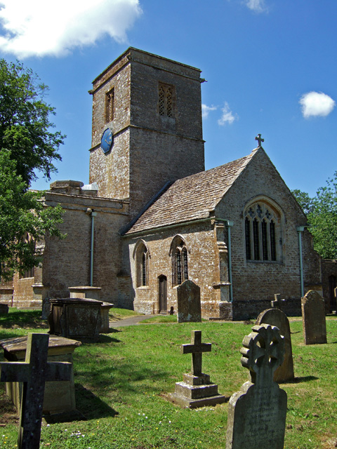
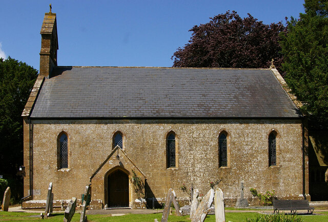
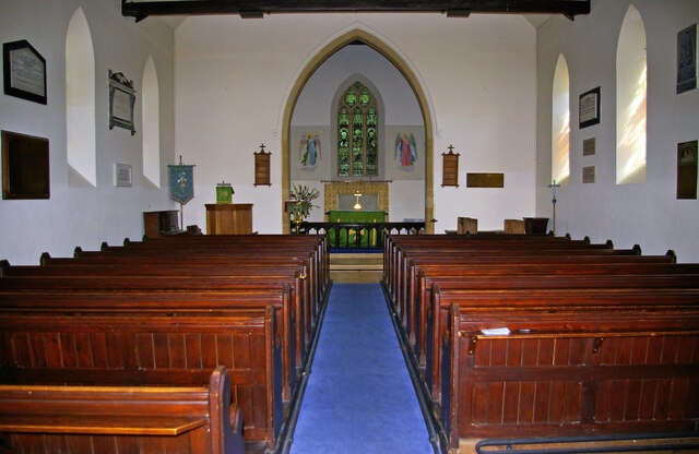
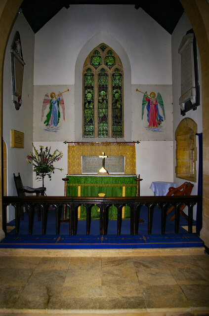
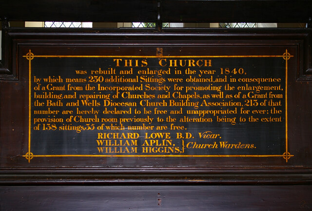
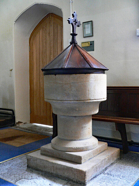
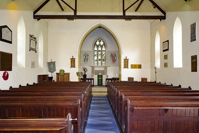
Church of St Martin, North Perrott
The Church of St Martin in North Perrott, Somerset, England, dates from the 12th century and has been designated as a Grade I listed building.The current...

North Perrott Cricket Club Ground
North Perrott Cricket Club Ground is a former List A cricket ground located in North Perrott, Somerset. It hosted a single Cheltenham & Gloucester Trophy...
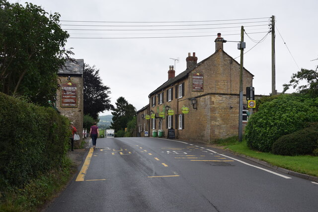
North Perrott
North Perrott is a village and civil parish in south Somerset, England, near the border with Dorset. == History == The name Perrott comes from the River...

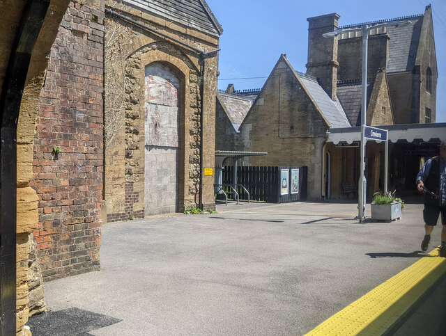
Crewkerne railway station
Crewkerne railway station is located in Misterton in Somerset, England, and serves the area around the town of Crewkerne. It is 131 miles 33 chains (211...
Haselbury Plucknett
Haselbury Plucknett is a village and civil parish on the River Parrett in Somerset, England, situated 6 miles (9.7 km) south west of Yeovil in the South...

Misterton, Somerset
Misterton is a village and civil parish 1 mile (1.6 km) south-east of Crewkerne, Somerset, England. == History == The village was previously known as Minsterton...

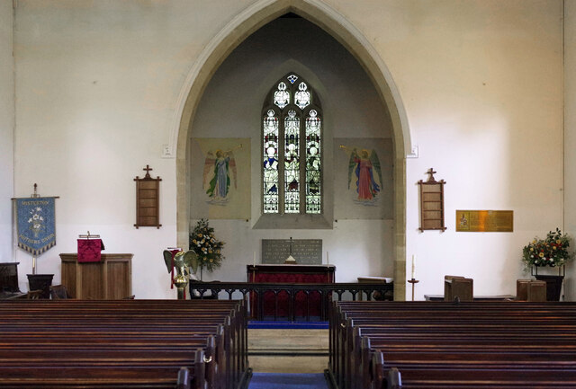
Church of St Michael and All Angels, Haselbury Plucknett
The Anglican Church of St Michael and All Angels in Haselbury Plucknett, Somerset, England was built in the 14th century. It is a Grade II* listed building...
Nearby Amenities
Located within 500m of 50.878638,-2.7572175Have you been to Cock Hat Covert?
Leave your review of Cock Hat Covert below (or comments, questions and feedback).