Maines Batch
Settlement in Somerset
England
Maines Batch
Maines Batch is a small village located in the county of Somerset, in the southwest of England. It is situated approximately 5 miles northeast of the town of Bridgwater and is part of the Sedgemoor district.
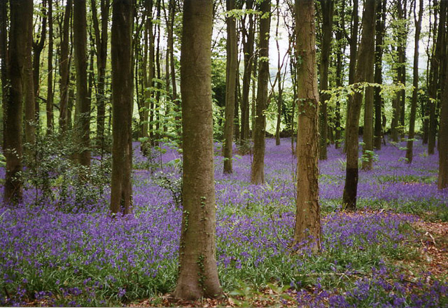
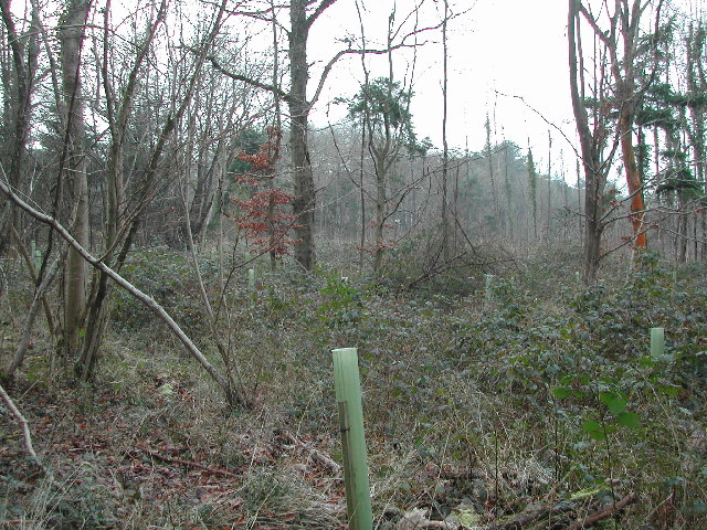
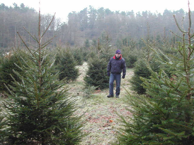
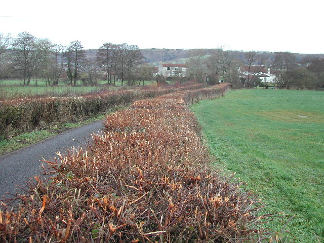
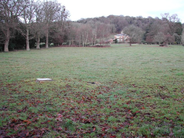
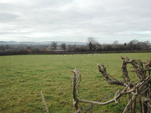
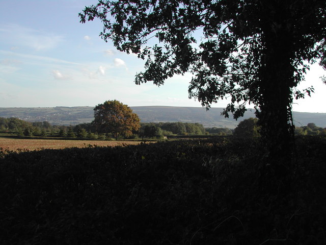
The village has a population of around 300 residents, making it a close-knit community with a peaceful atmosphere. Maines Batch is characterized by its picturesque countryside surroundings, with rolling hills, green landscapes, and charming rural views. It is an ideal location for those seeking a tranquil and idyllic setting.
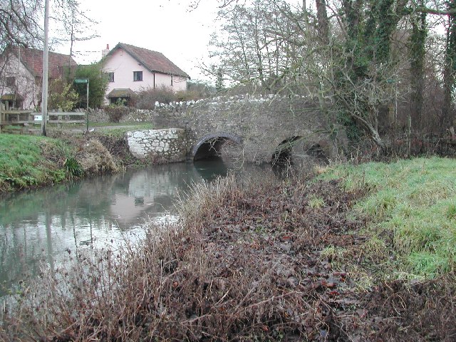
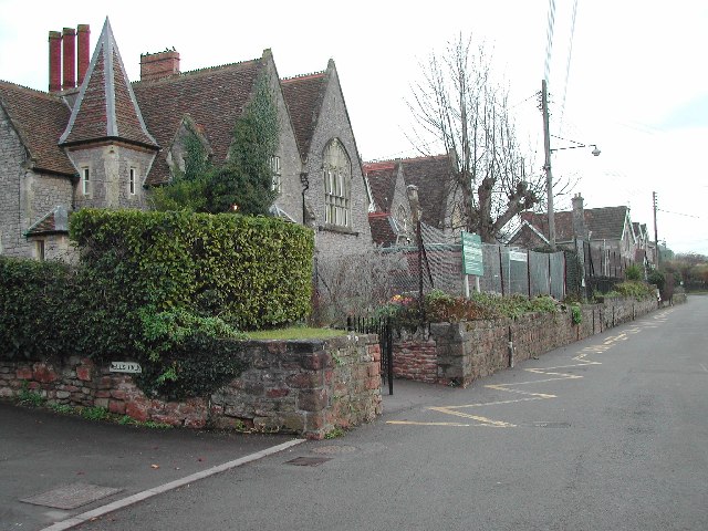
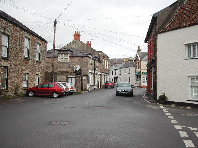
The architecture of Maines Batch is predominantly traditional, with a mix of old stone cottages and more modern houses. The village also has a small church, which serves as a focal point for the local community.
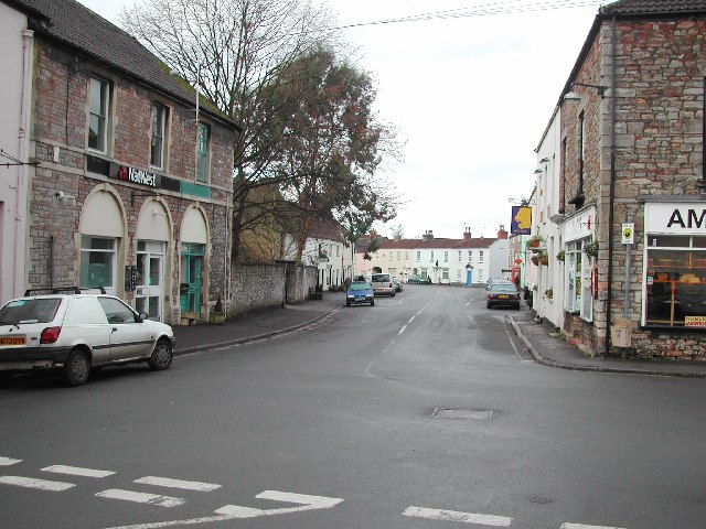
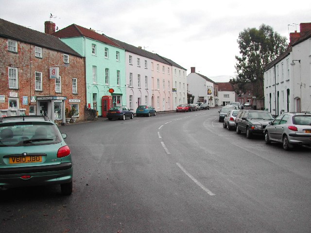
Although Maines Batch is a small village, it benefits from its proximity to larger towns and cities. Bridgwater, with its wider range of amenities such as shops, supermarkets, and schools, is easily accessible by car or public transport. The village is also well-connected to the rest of Somerset, with good road links to nearby towns and the M5 motorway.
Overall, Maines Batch offers a peaceful and scenic lifestyle for its residents, with the convenience of nearby towns and cities. It is an ideal place for those seeking a close community spirit and a rural environment.
If you have any feedback on the listing, please let us know in the comments section below.
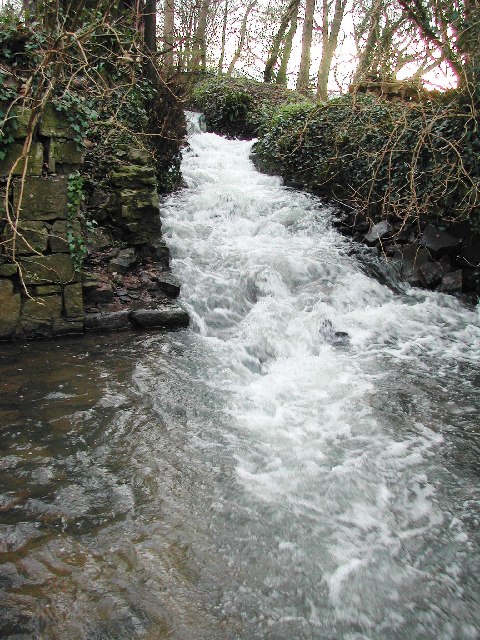
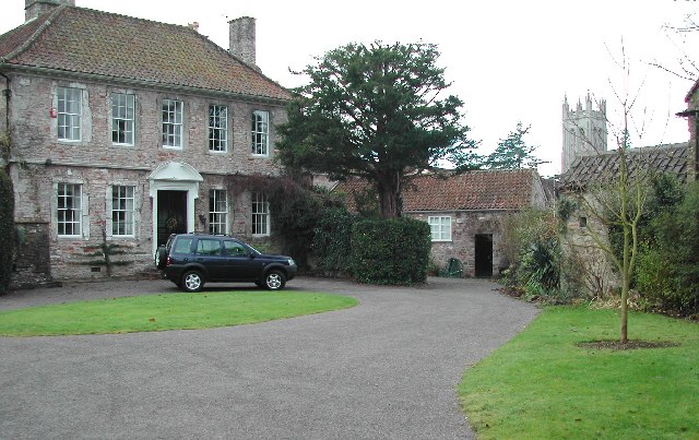
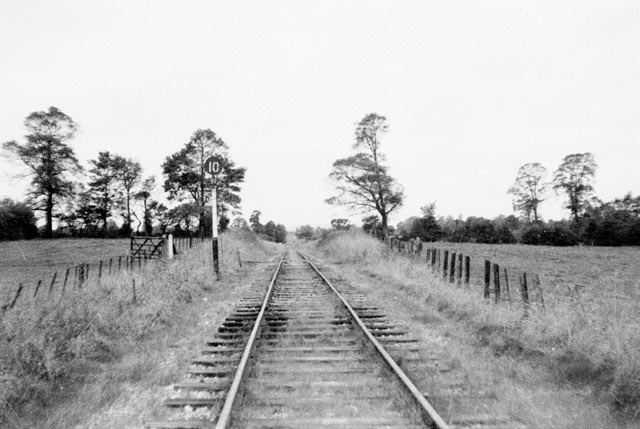
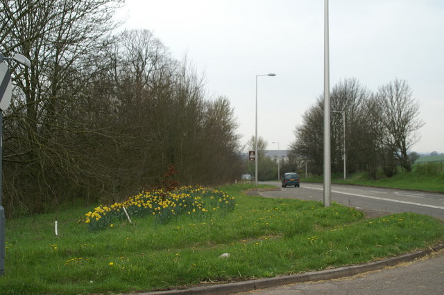
Maines Batch Images
Images are sourced within 2km of 51.365153/-2.7627026 or Grid Reference ST4663. Thanks to Geograph Open Source API. All images are credited.
Maines Batch is located at Grid Ref: ST4663 (Lat: 51.365153, Lng: -2.7627026)
Unitary Authority: North Somerset
Police Authority: Avon and Somerset
What 3 Words
///cabinets.fittingly.union. Near Wrington, Somerset
Nearby Locations
Related Wikis

Wrington
Wrington is a village and a civil and ecclesiastical parish on the north slopes of the Mendip Hills in North Somerset, England. Both include nearby Redhill...
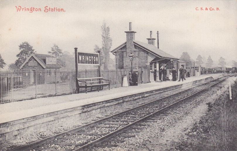
Wrington railway station
Wrington railway station was a station at Wrington on the Wrington Vale Light Railway, which ran from Congresbury to Blagdon, in Somerset, England. The...

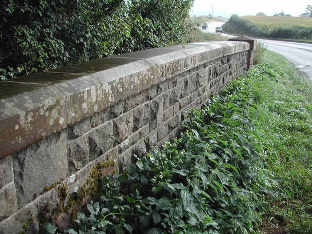
Bow Bridge, Iwood
Bow Bridge ( ) is a Grade II listed stone arched bridge, that crosses the Congresbury Yeo at Iwood, a hamlet of Congresbury in North Somerset. The bridge...

Goblin Combe
Goblin Combe is a dry valley in North Somerset which stretches for approximately 3½ km from Redhill, near Bristol International Airport on the A38, through...
Nearby Amenities
Located within 500m of 51.365153,-2.7627026Have you been to Maines Batch?
Leave your review of Maines Batch below (or comments, questions and feedback).