Udley
Settlement in Somerset
England
Udley
Udley is a small village located in the county of Somerset, England. Nestled in the picturesque countryside, it is surrounded by rolling hills and scenic landscapes. Situated approximately 10 miles south of the bustling city of Bath, Udley benefits from its proximity to urban amenities while offering a peaceful and idyllic setting.
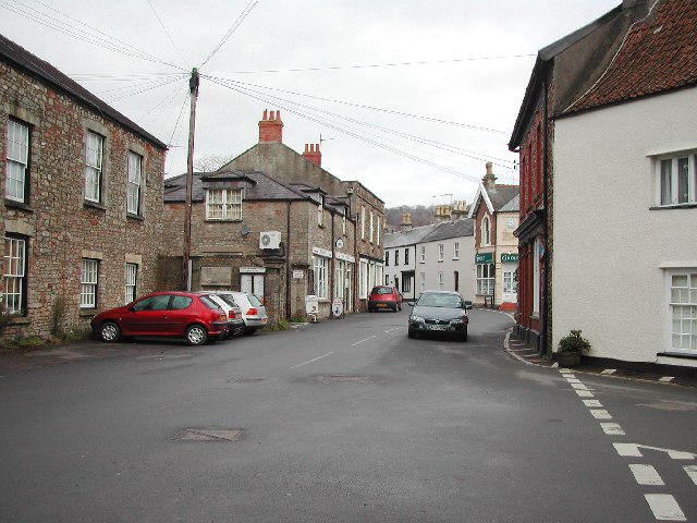
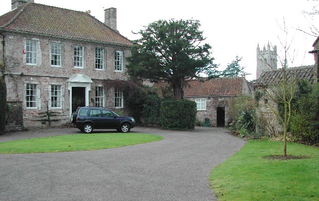
With a population of around 500 residents, Udley maintains a close-knit community atmosphere. The village is known for its charming cottages, many of which date back several centuries, giving it a distinct historical character. The local architecture showcases a mix of traditional stone buildings and more modern structures, blending the old with the new.
Udley is home to a handful of amenities to cater to the needs of its residents. These include a village hall, a primary school, and a local pub, providing a central hub for social gatherings. The village also boasts a beautiful church, St. Mary's, which serves as a focal point for religious and community events.
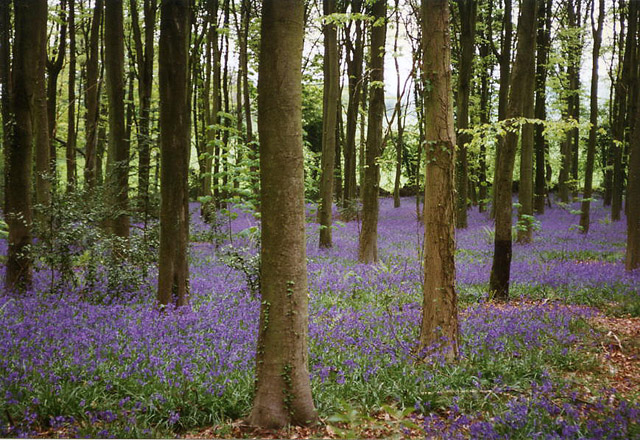
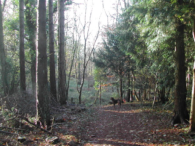
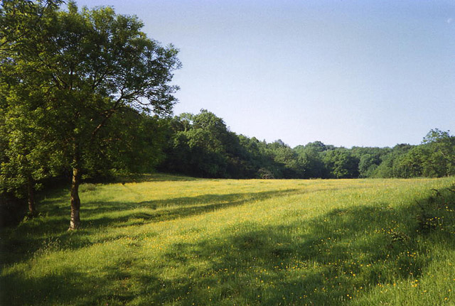
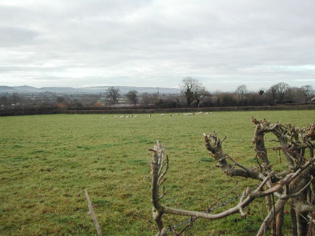
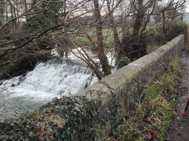
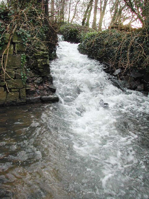
The surrounding countryside offers ample opportunities for outdoor activities, such as hiking, cycling, and horseback riding. The nearby Mendip Hills present a stunning backdrop for exploration, with their vast meadows, woodlands, and limestone cliffs. Additionally, the picturesque Avon Valley and its river provide a tranquil setting for leisurely walks and picnics.
Udley's location offers convenient access to nearby towns and cities, making it an attractive place to live for those seeking a peaceful rural lifestyle without sacrificing urban convenience. With its natural beauty, historical charm, and strong community spirit, Udley embodies the quintessential English village.
If you have any feedback on the listing, please let us know in the comments section below.
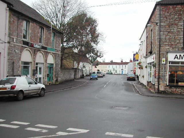
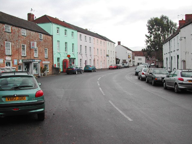
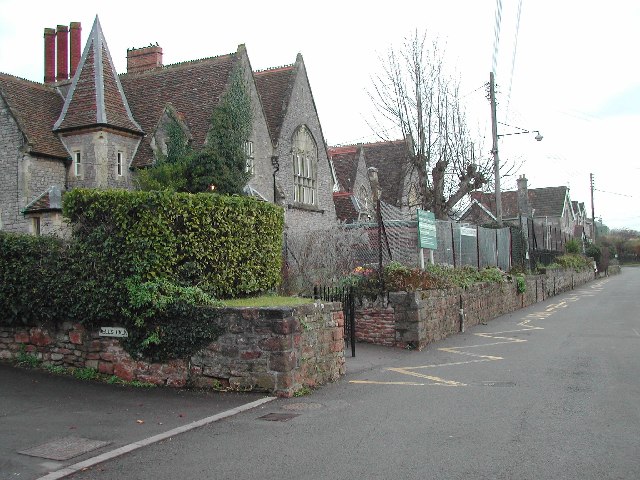
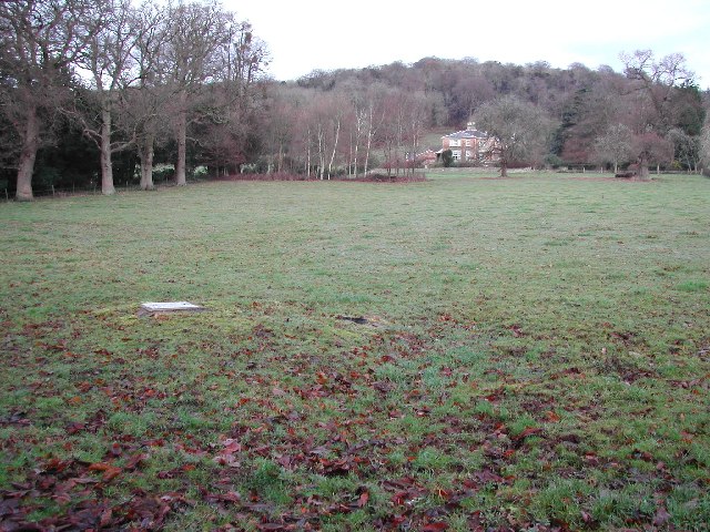
Udley Images
Images are sourced within 2km of 51.368035/-2.774822 or Grid Reference ST4663. Thanks to Geograph Open Source API. All images are credited.
Udley is located at Grid Ref: ST4663 (Lat: 51.368035, Lng: -2.774822)
Unitary Authority: North Somerset
Police Authority: Avon and Somerset
What 3 Words
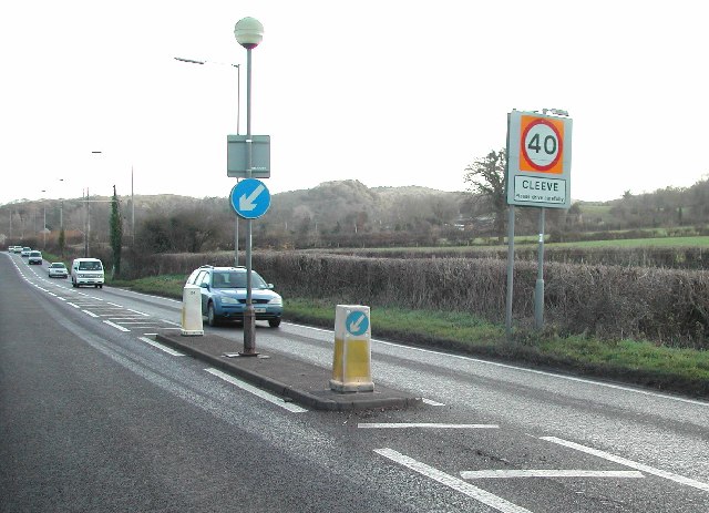
///skippers.congas.audit. Near Wrington, Somerset
Nearby Locations
Related Wikis

Wrington
Wrington is a village and a civil and ecclesiastical parish on the north slopes of the Mendip Hills in North Somerset, England. Both include nearby Redhill...

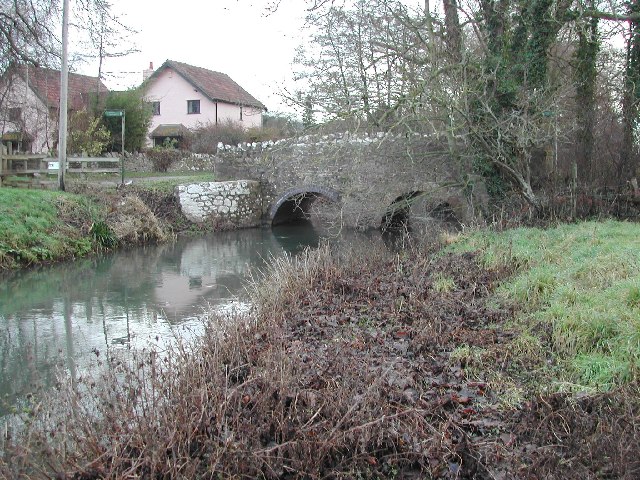
Bow Bridge, Iwood
Bow Bridge ( ) is a Grade II listed stone arched bridge, that crosses the Congresbury Yeo at Iwood, a hamlet of Congresbury in North Somerset. The bridge...
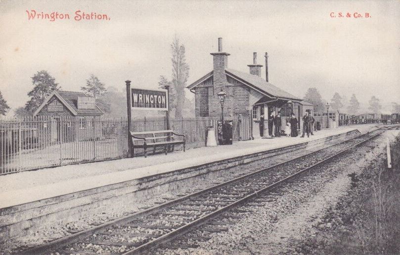
Wrington railway station
Wrington railway station was a station at Wrington on the Wrington Vale Light Railway, which ran from Congresbury to Blagdon, in Somerset, England. The...

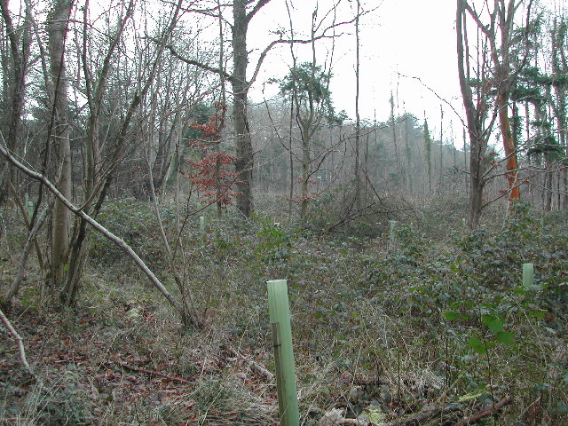
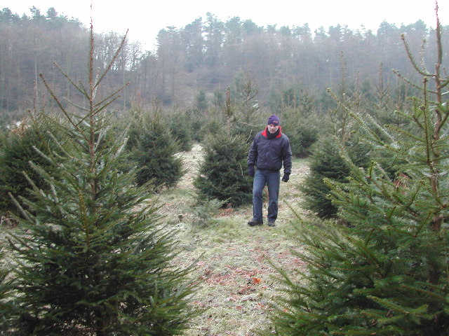
King's Wood and Urchin Wood SSSI
King's Wood and Urchin Wood SSSI (grid reference ST454645) is a 128.1 hectare biological Site of Special Scientific Interest near the villages of Cleeve...
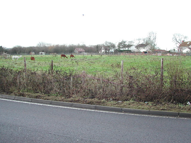
Nearby Amenities
Located within 500m of 51.368035,-2.774822Have you been to Udley?
Leave your review of Udley below (or comments, questions and feedback).