Hagg Wood
Wood, Forest in Lancashire Lancaster
England
Hagg Wood
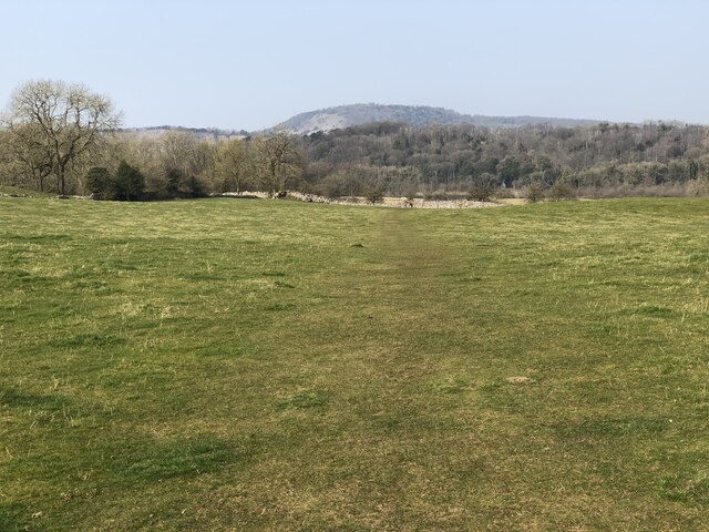
Hagg Wood is a picturesque woodland located in Lancashire, England. Covering an area of approximately 200 acres, it is a popular destination for nature enthusiasts and those seeking a peaceful retreat from the bustling city life. The wood is situated near the village of Silverdale, within the Arnside and Silverdale Area of Outstanding Natural Beauty.
Known for its diverse flora and fauna, Hagg Wood offers visitors a chance to immerse themselves in the beauty of nature. The wood is primarily composed of native broadleaf trees, including oak, ash, birch, and beech, which create a dense canopy that provides shade and shelter for a variety of wildlife.
Walking through the wood, visitors can witness a rich tapestry of wildflowers, such as bluebells, wood anemones, and primroses, which carpet the forest floor in spring. The wood is also home to numerous bird species, including woodpeckers, tits, and chiffchaffs, making it a haven for birdwatchers.
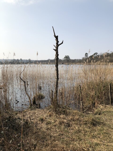
Hagg Wood is intersected by several well-maintained footpaths, allowing visitors to explore the woodland at their leisure. These paths lead to secluded clearings, tranquil ponds, and babbling streams, adding to the charm and serenity of the wood.
The wood is managed by a local conservation organization, ensuring that its natural beauty is preserved for future generations. Visitors to Hagg Wood are encouraged to follow the designated trails, respect the wildlife, and take nothing but photographs, allowing everyone to enjoy this enchanting woodland sanctuary.
If you have any feedback on the listing, please let us know in the comments section below.
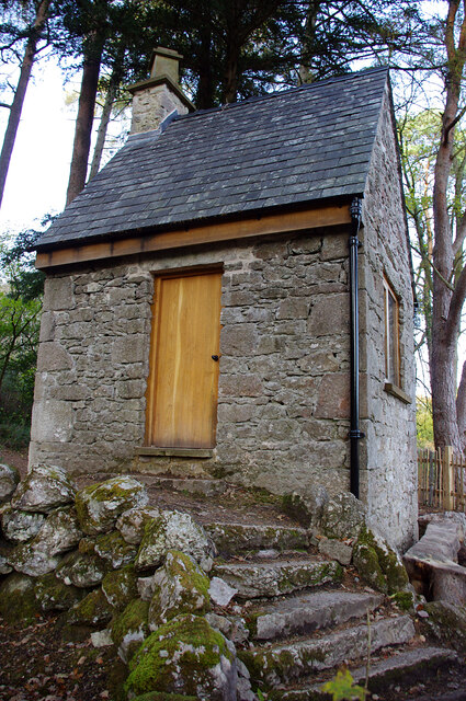
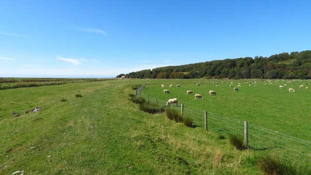
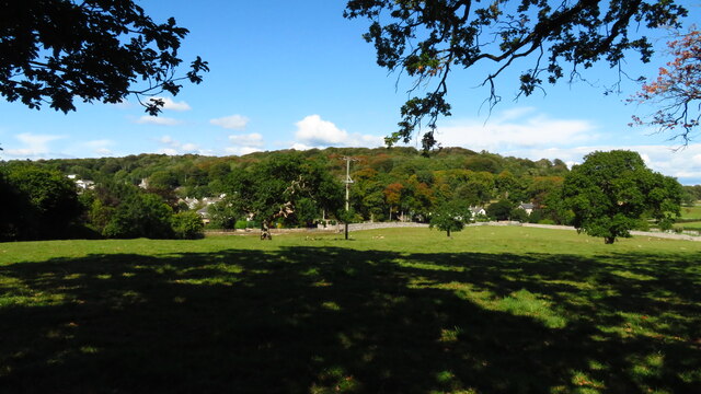
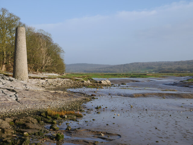
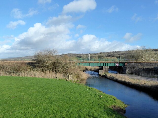
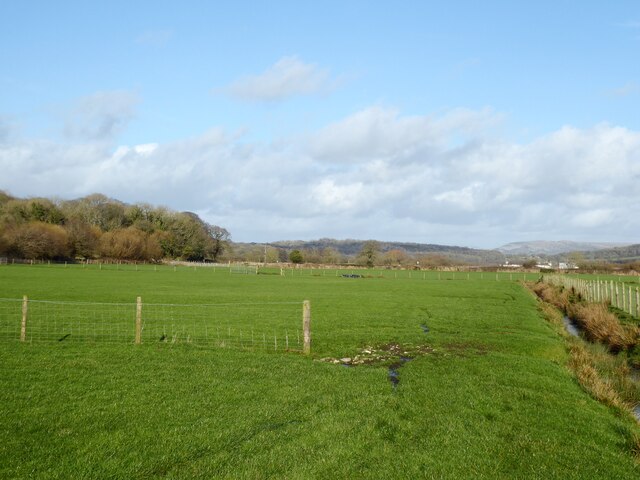
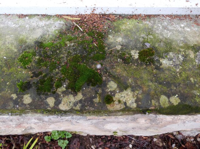
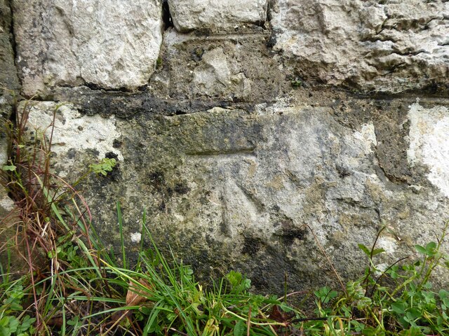
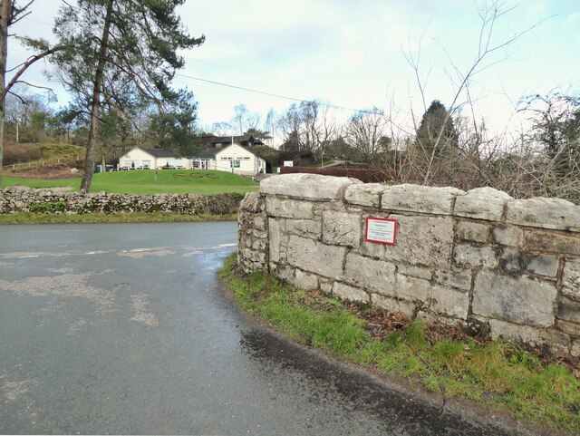
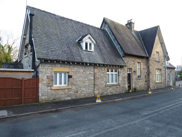
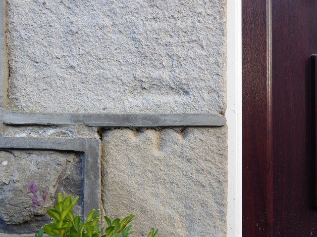
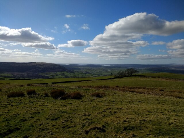
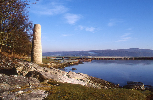
Hagg Wood Images
Images are sourced within 2km of 54.171464/-2.8170313 or Grid Reference SD4675. Thanks to Geograph Open Source API. All images are credited.


Hagg Wood is located at Grid Ref: SD4675 (Lat: 54.171464, Lng: -2.8170313)
Administrative County: Lancashire
District: Lancaster
Police Authority: Lancashire
What 3 Words
///dented.winner.quicksand. Near Silverdale, Lancashire
Related Wikis
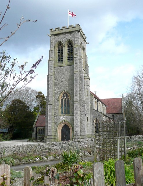
St John's Church, Silverdale
St John's Church is in Emesgate Lane, Silverdale, Lancashire, England. It is an active Anglican parish church in the deanery of Tunstall, the archdeaconry...
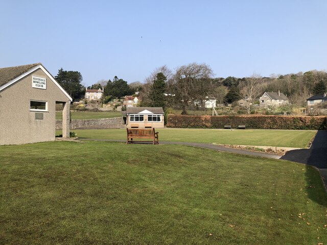
Silverdale, Lancashire
Silverdale is a village and civil parish within the City of Lancaster district of Lancashire, England. The village stands on Morecambe Bay, near the border...

Hazelwood Hall
Hazelwood Hall, sometimes spelt Hazlewood, is a nineteenth-century country house set in 18.5 acres of woodland and gardens in the village of Silverdale...

Silverdale Hoard
The Silverdale Hoard is a collection of over 200 pieces of silver jewellery and coins discovered near Silverdale, Lancashire, England, in September 2011...
Nearby Amenities
Located within 500m of 54.171464,-2.8170313Have you been to Hagg Wood?
Leave your review of Hagg Wood below (or comments, questions and feedback).