Cover Wood

Wood, Forest in Cumberland Eden

England

Cover Wood

Roadside curiosity
Roadside curiosity Credit: Richard Suddaby

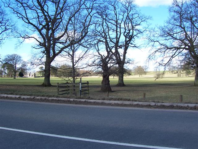
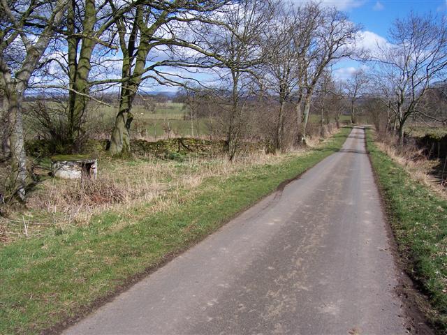
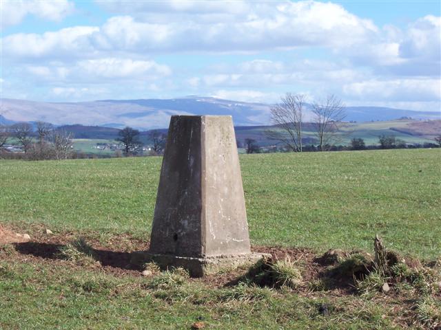
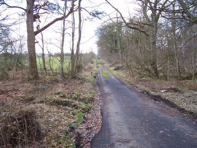
Cover Wood is a captivating forest located in Cumberland, England. Spread across a vast area, this woodland is known for its breathtaking beauty and diverse flora and fauna. The forest is situated in a remote location, making it a perfect retreat for nature lovers and those seeking tranquility.

Cover Wood primarily consists of deciduous trees, including oak, beech, and ash, which create a stunning canopy that provides shade during the summer months and a vibrant display of colors during autumn. The forest floor is adorned with an array of wildflowers, adding to its overall charm. The woodland is also home to a variety of bird species, such as woodpeckers, owls, and various migratory birds.

Visitors to Cover Wood can enjoy a range of activities, including hiking, birdwatching, and photography. There are several well-maintained trails that wind through the forest, allowing visitors to explore its hidden gems. The peaceful atmosphere and gentle rustling of leaves make it an ideal location for quiet contemplation and relaxation.

Furthermore, Cover Wood is a haven for wildlife enthusiasts, as it provides a habitat for numerous animal species. Squirrels, deer, and foxes can often be spotted in the forest, adding to the sense of natural wonder.

Overall, Cover Wood in Cumberland is a captivating woodland that offers visitors an opportunity to reconnect with nature. Its picturesque landscape, diverse wildlife, and serene ambiance make it a must-visit destination for anyone seeking an escape from the bustling city life.

If you have any feedback on the listing, please let us know in the comments section below.
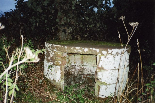
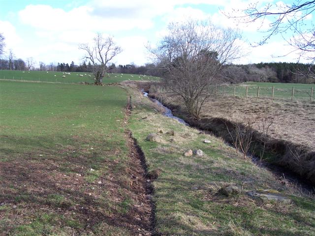
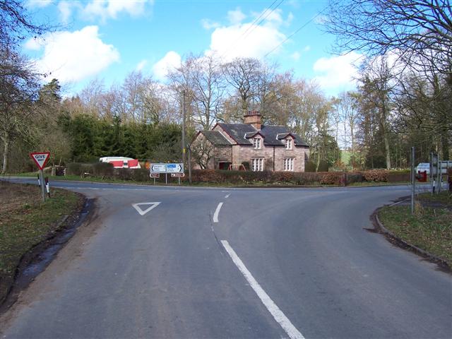
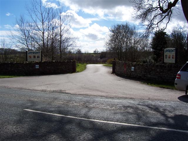
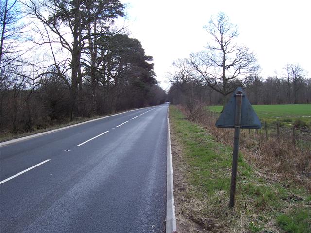
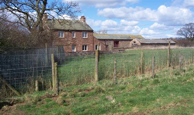
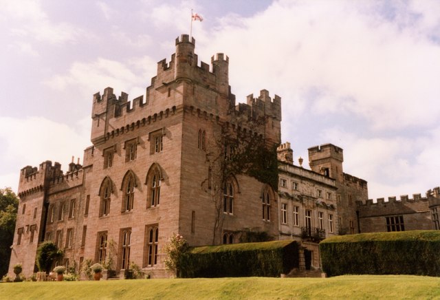
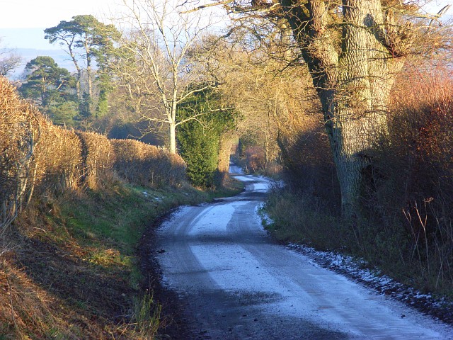
Cover Wood Images

Images are sourced within 2km of 54.716478/-2.8278014 or Grid Reference NY4636. Thanks to Geograph Open Source API. All images are credited.

Roadside curiosity
Roadside curiosity
Do not plough too near the beck! A fairly sandy soil in this area prevents the farmers from cultivating too close or the water will undermine the field.
Do not plough too near the beck!
A fairly sandy soil in this area prevents the farmers from cultivating too close or the water will undermine the field.
Unthank Junction. The area is home to Hutton in the forest and most of the buildings were something to do with the estate.
Unthank Junction.
The area is home to Hutton in the forest and most of the buildings were something to do with the estate.
Wet Muddy Track. Part of the Hutton in the forest estate.
Wet Muddy Track.
Part of the Hutton in the forest estate.
Entrance to Upfront. An art gallery and cafe.
Entrance to Upfront.
An art gallery and cafe.
Hutton in the Forest Parkland Beautiful parkland may have encouraged people to walk to the church showing on the left in the olden days.
Hutton in the Forest Parkland
Beautiful parkland may have encouraged people to walk to the church showing on the left in the olden days.
Road to Hutton Grange with curiosity on left The curiosity looks like an old well filled in and has a trig arrow on top with a name close to it that may be G.Nithehall. but it is bad to make out.
Road to Hutton Grange with curiosity on left
The curiosity looks like an old well filled in and has a trig arrow on top with a name close to it that may be G.Nithehall. but it is bad to make out.
Lid or roof of curiosity.
Trig Stone with Pennines. The highest point of the Pennine range is above the stone and still covered in snow making it blend in with the sky.
Trig Stone with Pennines.
The highest point of the Pennine range is above the stone and still covered in snow making it blend in with the sky.
Thornbarrow. Quite a few "Barrows" in this area.
Thornbarrow.
Quite a few "Barrows" in this area.
Tarmac track. There must have been a surplus when they tarmacked the adjacent B5305.
Tarmac track.
There must have been a surplus when they tarmacked the adjacent B5305.
B5305 Penrith to Wigton route. Newly resurfaced along here.
B5305 Penrith to Wigton route.
Newly resurfaced along here.
Parkland with cock pheasant. The pheasants are in fine colours at the moment trying to attract a partner.
Parkland with cock pheasant.
The pheasants are in fine colours at the moment trying to attract a partner.
Lowstreet House Farm. The M6 on the right must have made a huge change in this rural area.
Lowstreet House Farm.
The M6 on the right must have made a huge change in this rural area.
I see you bridge. What a lot of cameras. The only way past without being seen is over the top.
I see you bridge.
What a lot of cameras. The only way past without being seen is over the top.
Pyeing Farm. The fences look as though they would keep a few dogs in.
Pyeing Farm.
The fences look as though they would keep a few dogs in.
Hutton in the Forest Interesting house and gardens
Hutton in the Forest
Interesting house and gardens
Road above Black Sykes Descending from Hutton Grange. Black Sykes is hidden by the trees on the left.
Road above Black Sykes
Descending from Hutton Grange. Black Sykes is hidden by the trees on the left.
Show me another place!

Cover Wood is located at Grid Ref: NY4636 (Lat: 54.716478, Lng: -2.8278014)

Administrative County: Cumbria

District: Eden

Police Authority: Cumbria

What 3 Words

///chose.drummers.slept. Near Penrith, Cumbria

Related Wikis

Hutton in the Forest

Hutton in the Forest is a Grade I listed country house near the village of Skelton in the historic county of Cumberland, which now forms part of the modern...

Unthank End

Unthank End is a hamlet in Cumbria, England. == See also == Listed buildings in Skelton, Cumbria == References == UK Coal Board The geographic coordinates...

Unthank, Skelton

Unthank is a village in the civil parish of Skelton, in Cumbria, England. In 1870-72 the township had a population of 39 as recorded in the Imperial Gazetteer...

Plumpton railway station (Cumbria)

Plumpton railway station in Hesket parish in what is now Cumbria but was then Cumberland in the north west of England, was situated on the Lancaster and...

Brockleymoor

Brockleymoor was a hamlet in Cumbria, England, but it is now part of the village of Plumpton. It is located several miles north of Penrith, not far from...

Skelton, Cumbria

Skelton is a small village and civil parish about 7 miles (11 km) north west of Penrith in the English county of Cumbria. It is on the former route of...

Laithes

Laithes is a hamlet in the civil parish of Skelton, in the English county of Cumbria. It belongs to Eden District. Laithes's region is North West. Height...

Plumpton, Cumbria

Plumpton or Plumpton Wall is a small village and former civil parish, in the parish of Hesket, in the Westmorland and Furness district, in the traditional...

Nearby Amenities

Located within 500m of 54.716478,-2.8278014
Post Box
Brand: Royal Mail
Brand Wikidata: Q638098
Brand Wikipedia: en:Royal Mail
Check Date: 2022-02-05
Operator: Royal Mail
Operator Wikidata: Q638098
Ref: CA11 170
Royal Cypher: EIIR
Royal Cypher Wikidata: Q33102113
Source: survey
Lat/Long: 54.7139342/-2.8275112
Created By: Merkaartor 0.12
Lat/Long: 54.714903/-2.822505
Cover Wood
Natural: wood
Lat/Long: 54.716334/-2.8288877
Kennel Wood
Natural: wood
Lat/Long: 54.7131485/-2.8310979
Power: pole
Lat/Long: 54.712755/-2.8282574
Power: pole
Lat/Long: 54.7131813/-2.826829
Power: pole
Lat/Long: 54.7136148/-2.825428
Power: pole
Lat/Long: 54.7140469/-2.823987
Power: pole
Lat/Long: 54.7145383/-2.8224385
Power: pole
Lat/Long: 54.7150484/-2.8208149
Power: pole
Lat/Long: 54.7156192/-2.8204121
The data included in this document is from www.openstreetmap.org. The data is made available under ODbL.

Have you been to Cover Wood?

Leave your review of Cover Wood below (or comments, questions and feedback).