Horn Coppice
Wood, Forest in Dorset
England
Horn Coppice

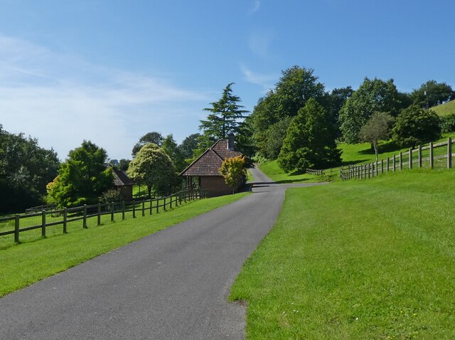
Horn Coppice is a picturesque woodland located in the county of Dorset, England. Situated near the village of Chideock, this ancient forest covers an area of approximately 30 hectares. The coppice is predominantly made up of broadleaf trees, including oak, ash, beech, and hazel, which create a diverse and vibrant ecosystem.
The woodland is known for its rich biodiversity and is home to a wide variety of plant and animal species. The forest floor is covered in a carpet of bluebells during the spring, creating a beautiful and enchanting scene. In addition to bluebells, visitors can also spot wild garlic, wood sorrel, and primroses among the undergrowth.
Horn Coppice offers a tranquil escape for nature enthusiasts and those seeking solitude in the great outdoors. The forest is crisscrossed by a network of footpaths and trails, allowing visitors to explore its beauty at their own pace. The pathways lead through sun-dappled glades, providing stunning vistas of the surrounding countryside.
The woodland has a rich cultural and historical heritage. In the past, it was managed as a coppice, a traditional method of woodland management where trees are periodically cut back to ground level to encourage new growth. This practice created a sustainable source of timber for local communities. Today, the coppice is managed by a dedicated team of conservationists who aim to preserve its natural beauty and protect its wildlife.
Horn Coppice is a haven for birdwatchers, with a range of species, such as woodpeckers, tawny owls, and nuthatches, inhabiting the forest. The woodland also attracts a variety of butterflies and insects, making it a popular spot for wildlife photography.
Overall, Horn Coppice is a cherished natural treasure in Dorset, offering visitors a chance to immerse themselves in the beauty and tranquility of an ancient woodland.
If you have any feedback on the listing, please let us know in the comments section below.
Horn Coppice Images
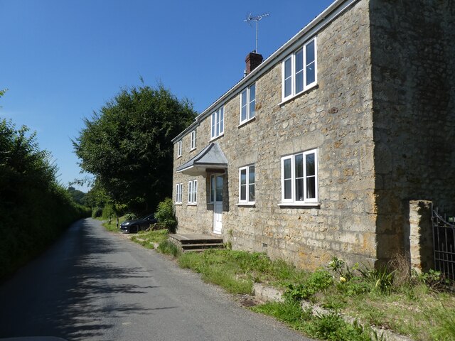
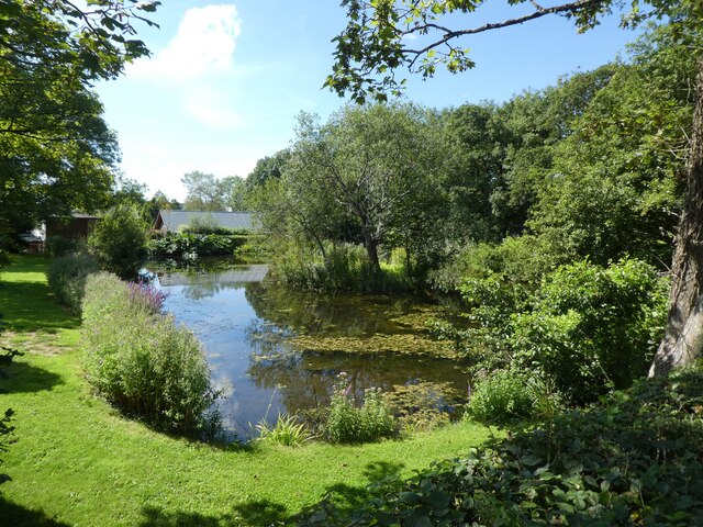
Images are sourced within 2km of 50.823342/-2.757231 or Grid Reference ST4602. Thanks to Geograph Open Source API. All images are credited.


Horn Coppice is located at Grid Ref: ST4602 (Lat: 50.823342, Lng: -2.757231)
Unitary Authority: Dorset
Police Authority: Dorset
What 3 Words
///sober.brew.fills. Near Beaminster, Dorset
Nearby Locations
Related Wikis
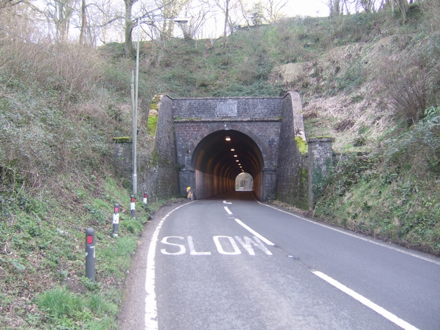
Beaminster Tunnel
Beaminster Tunnel or Horn Hill Tunnel is a 345-foot-long (105 m) road tunnel on the A3066 road between Beaminster and Mosterton in Dorset, England. The...
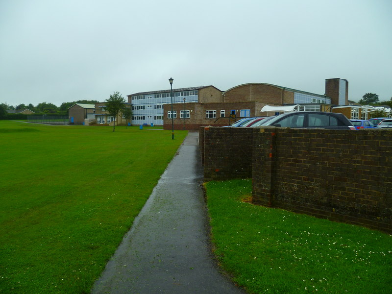
Beaminster School
Beaminster School is a coeducational secondary school and sixth form located in Beaminster in the English county of Dorset.It is a voluntary controlled...

Holy Trinity Church, Beaminster
Holy Trinity Church is a former Church of England church in Beaminster, Dorset, England. The church was built in 1849–51 and made redundant in 1978. It...

Beaminster Forum and Redhone Hundred
Beaminster Forum & Redhone Hundred was a hundred in the county of Dorset, England, containing the following parishes: Beaminster Bradpole Chedington Chardstock...
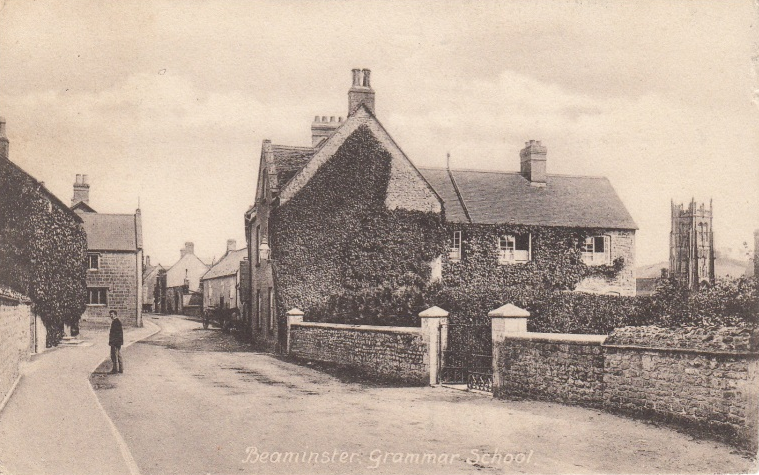
Beaminster Grammar School
Beaminster Grammar School, known in its final years as Beaminster and Netherbury Grammar School, was a small grammar school in the town of Beaminster,...
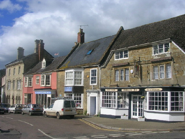
Beaminster
Beaminster ( BEM-in-stər) is a town and civil parish in Dorset, England, situated in the Dorset Council administrative area approximately 15 miles (24...

Waddon Hill
Waddon Hill is a hill and the site of an old Roman fort near Beaminster, in the English county of Dorset. The name Waddon is from the Old English meaning...

Stoke Abbott
Stoke Abbott is a village and civil parish in west Dorset, England, 2 miles (3.2 km) west of Beaminster. In 2013 the estimated population of the parish...
Nearby Amenities
Located within 500m of 50.823342,-2.757231Have you been to Horn Coppice?
Leave your review of Horn Coppice below (or comments, questions and feedback).