Tuck Wood
Wood, Forest in Herefordshire
England
Tuck Wood
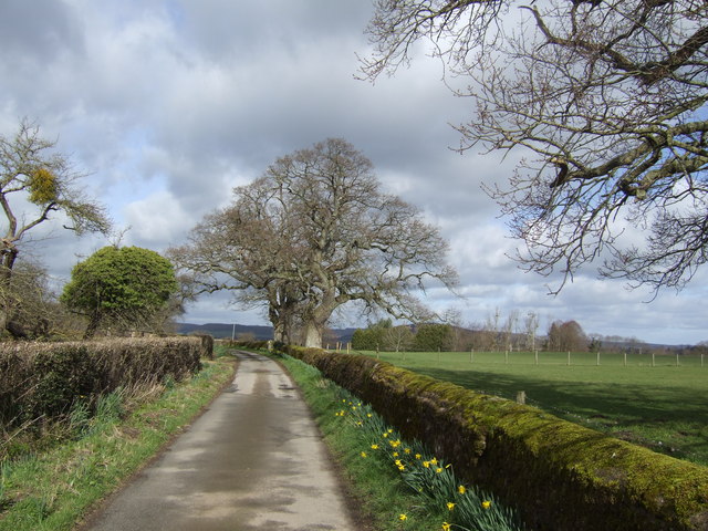
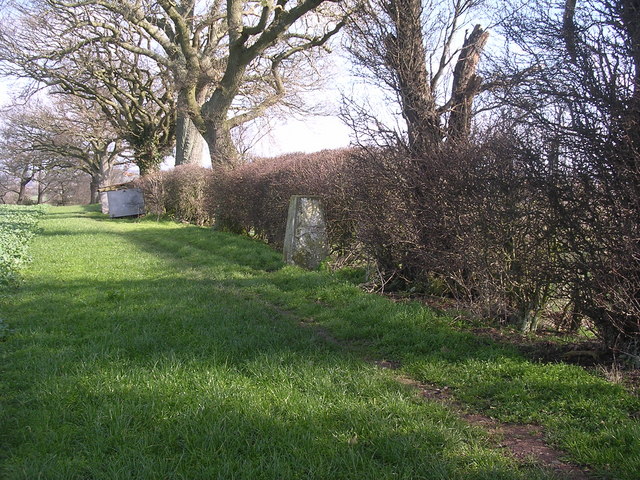
Tuck Wood is a picturesque forest located in Herefordshire, a county in the West Midlands region of England. Situated near the charming town of Hereford, Tuck Wood is renowned for its natural beauty and tranquil atmosphere.
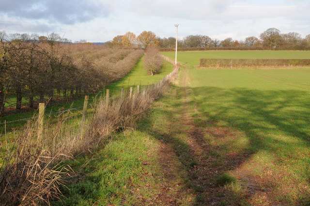
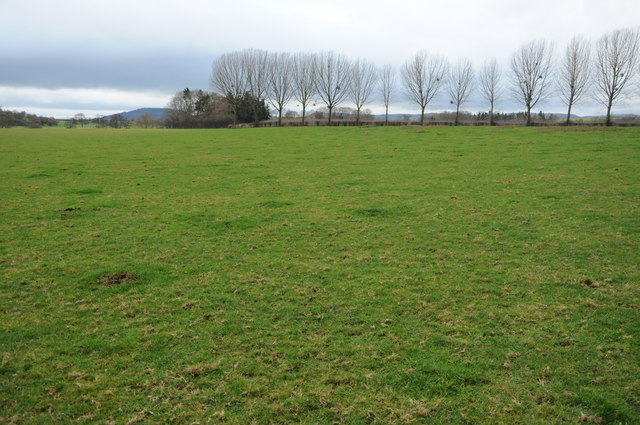
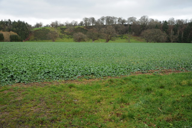
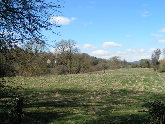
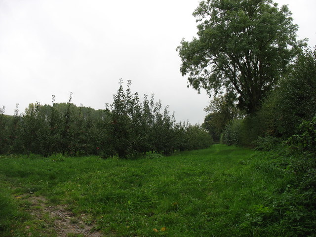
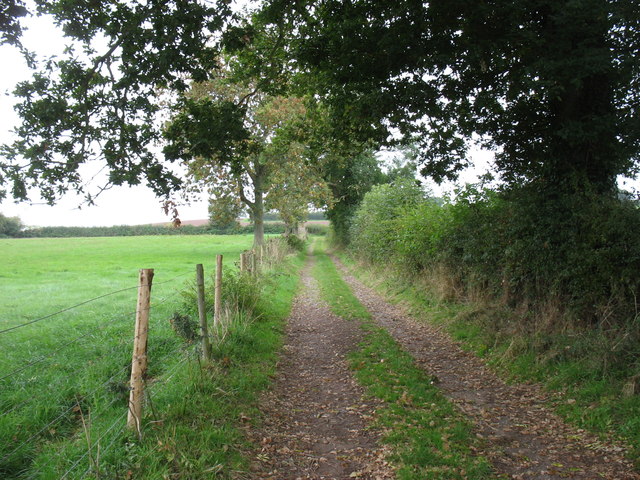
Covering an area of approximately 100 acres, this ancient woodland is home to a diverse range of flora and fauna. The forest is predominantly composed of oak and beech trees, creating a dense canopy that offers shade during hot summer days. The forest floor is carpeted with vibrant bluebells, wild garlic, and ferns, providing a breathtaking display of colors in the spring.
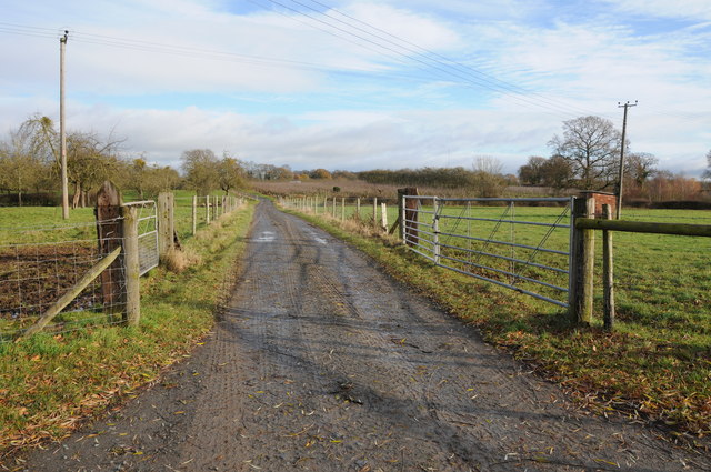
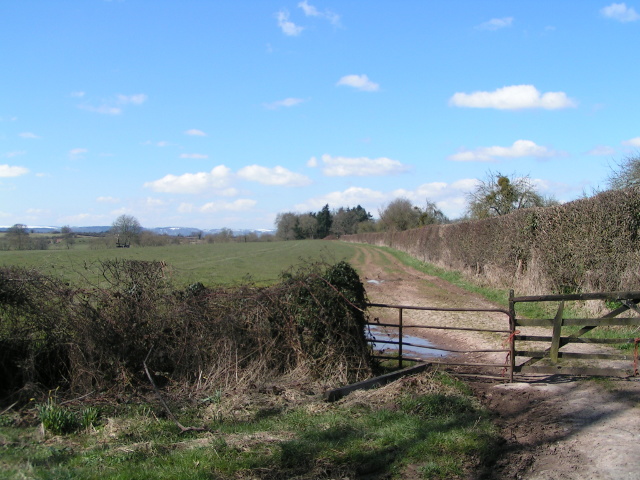
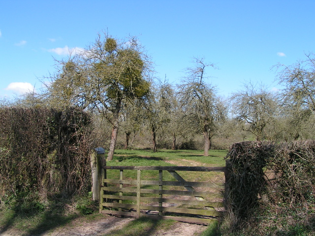
Tuck Wood is a popular destination for nature enthusiasts and hikers, as it offers a variety of trails that wind through the forest. These trails cater to different levels of fitness and offer opportunities to observe the local wildlife, including deer, foxes, and various bird species. Visitors can also find hidden gems within the wood, such as small ponds and streams that add to the serene ambiance.
The forest is well-maintained and features picnic areas and benches where visitors can rest and enjoy a packed lunch amidst the peaceful surroundings. Additionally, Tuck Wood is often used as an outdoor classroom by local schools, providing an educational platform for children to learn about the importance of woodland conservation.
Overall, Tuck Wood in Herefordshire is a haven of natural beauty and a perfect escape from the hustle and bustle of everyday life. Whether it's a leisurely stroll or an immersive hike, visitors can expect a rejuvenating experience in this enchanting forest.
If you have any feedback on the listing, please let us know in the comments section below.
Tuck Wood Images
Images are sourced within 2km of 52.049185/-2.7915487 or Grid Reference SO4539. Thanks to Geograph Open Source API. All images are credited.
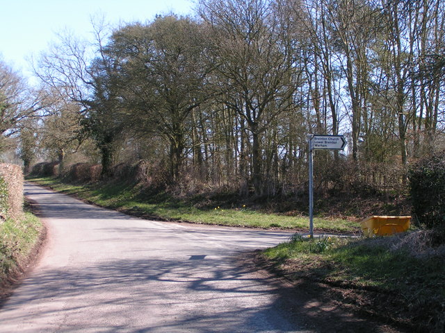
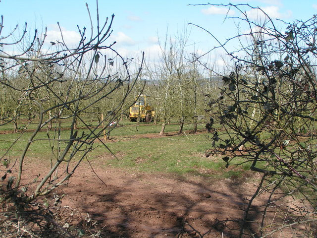
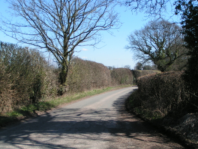
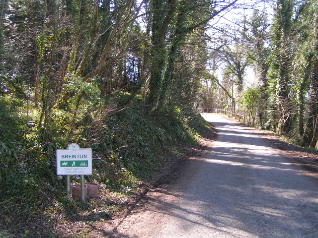
Tuck Wood is located at Grid Ref: SO4539 (Lat: 52.049185, Lng: -2.7915487)
Unitary Authority: County of Herefordshire
Police Authority: West Mercia
What 3 Words
///suffix.along.flagging. Near Belmont, Herefordshire
Nearby Locations
Related Wikis

Breinton
Breinton is a civil parish in Herefordshire, England. Breinton lies just to the west of Hereford. The name Breinton appears to be a modernised form of...

Upper Breinton
Upper Breinton is a village in Herefordshire, England. It is located in the civil parish of Breinton. == References == The geographic coordinates are from...

Eaton Bishop
Eaton Bishop is a small village and civil parish in Herefordshire, West Midlands, England. It is located south west of Hereford and is between the villages...

Clehonger
Clehonger is a village and civil parish in Herefordshire, England, and 7 km (4.3 mi) south-west of Hereford. Clehonger is from the old English 'Clayey...
Warham, Herefordshire
Warham is a place in the English county of Herefordshire. It is situated about 3 km west of the city of Hereford, close to the north bank of the River...

Belmont Abbey, Herefordshire
Belmont Abbey, in Herefordshire, England, is a Catholic Benedictine monastery that forms part of the English Benedictine Congregation. It stands on a small...

Church of St Mary Magdalene, Stretton Sugwas
The Church of St Mary Magdalene is an Anglican church in the village of Stretton Sugwas, in Herefordshire, England. The church is in the Burghill Benefice...
Belmont Rural
Belmont Rural is a civil parish in Herefordshire, England. The population of the Civil Parish taken at the 2011 Census was 3,769. It is south-west of...
Nearby Amenities
Located within 500m of 52.049185,-2.7915487Have you been to Tuck Wood?
Leave your review of Tuck Wood below (or comments, questions and feedback).