Ruckhall Common

Downs, Moorland in Herefordshire

England

Ruckhall Common

Farm drive at Upper Breinton
Farm drive at Upper Breinton Credit: Philip Halling

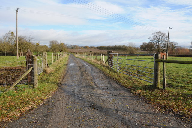
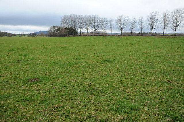
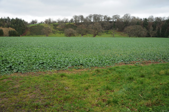
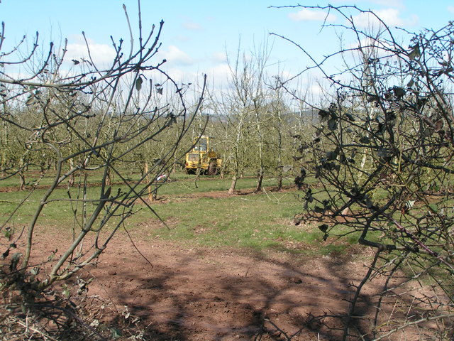
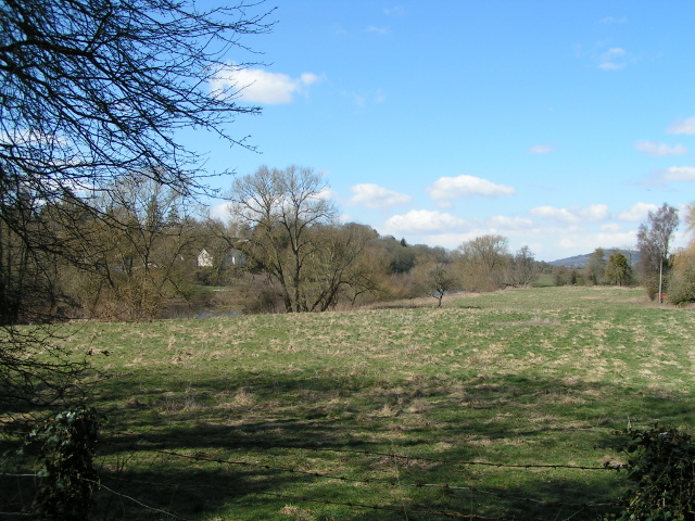
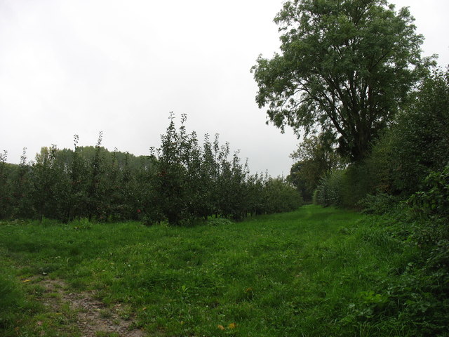
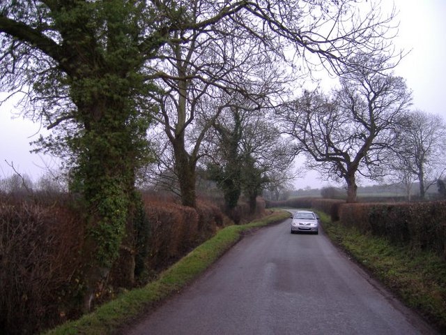
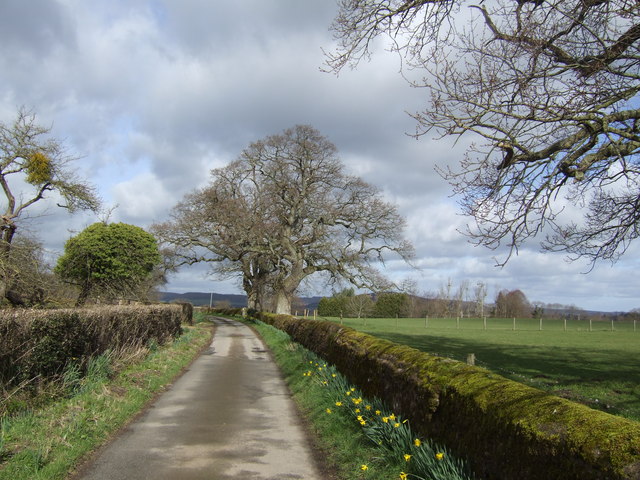
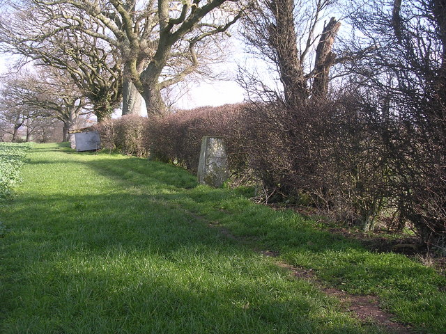
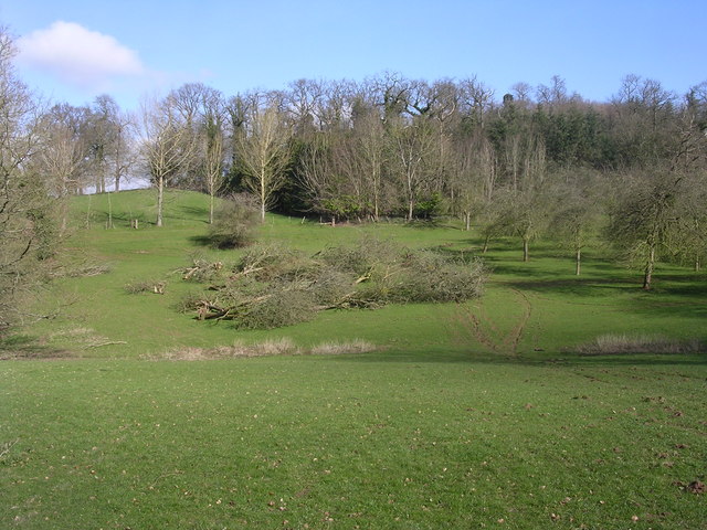
Ruckhall Common is a picturesque area located in the county of Herefordshire, England. It is characterized by its rolling downs and expansive moorland, making it a popular destination for nature enthusiasts and outdoor lovers. Covering an area of approximately 300 acres, the common is nestled within a rural landscape, offering visitors a tranquil and serene environment.

The common is home to a diverse range of plant and animal species, making it an important site for biodiversity conservation. The vegetation consists of a mixture of grasses, heather, and gorse, which provide habitats for various bird species including skylarks and yellowhammers. Additionally, the common supports a variety of insects, such as butterflies and dragonflies, further enhancing its ecological significance.

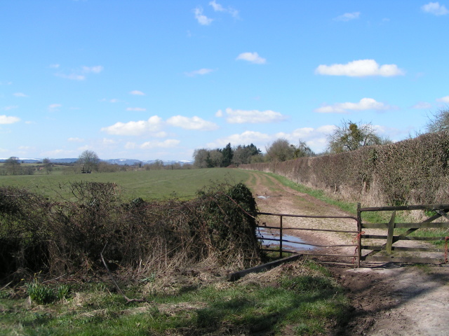
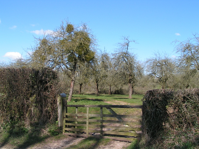
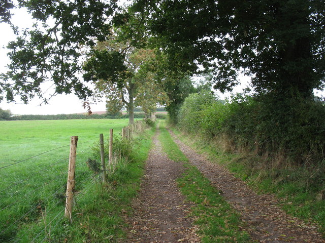
Visitors to Ruckhall Common can enjoy a range of recreational activities, including walking, hiking, and birdwatching. There are several well-defined paths and trails that allow visitors to explore the area and take in the stunning views of the surrounding countryside. The common also offers ample opportunities for picnicking and nature photography.

Due to its rural location, Ruckhall Common provides a peaceful escape from the hustle and bustle of everyday life. Its unspoiled natural beauty and tranquil atmosphere make it an ideal destination for those seeking relaxation and a connection with nature. Whether it's exploring the moorland, observing wildlife, or simply enjoying the sweeping vistas, Ruckhall Common offers a truly memorable experience for nature enthusiasts and visitors alike.

If you have any feedback on the listing, please let us know in the comments section below.

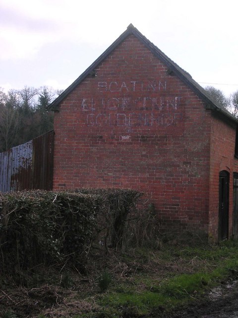
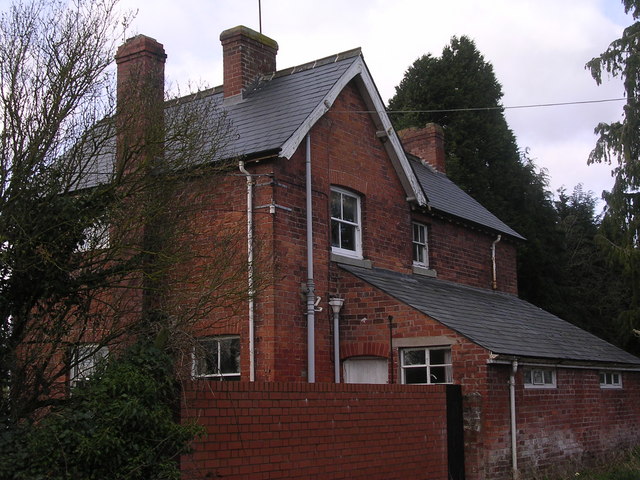
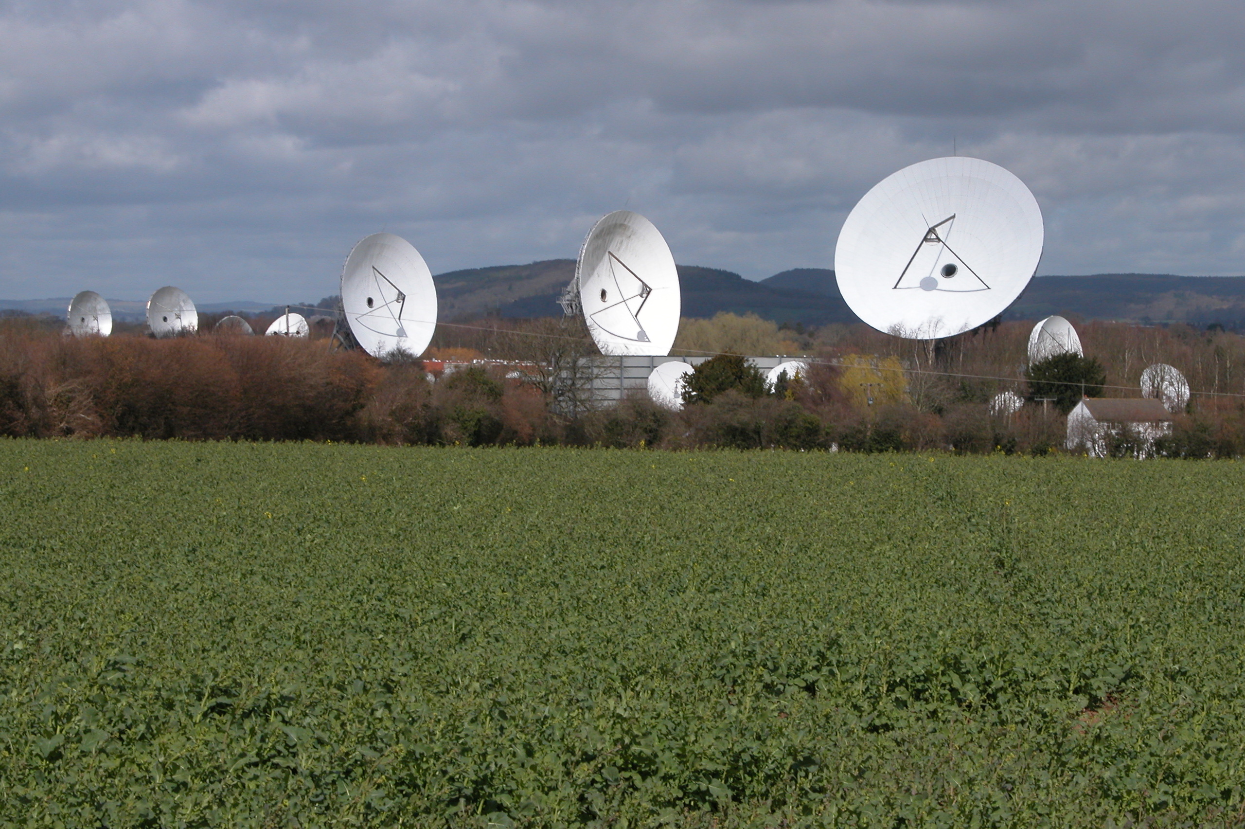
Ruckhall Common Images

Images are sourced within 2km of 52.049995/-2.8020917 or Grid Reference SO4539. Thanks to Geograph Open Source API. All images are credited.

Farm drive at Upper Breinton
Meadowland at Breinton The Wye Valley Walk crosses this meadowland near Breinton.
Meadowland at Breinton
The Wye Valley Walk crosses this meadowland near Breinton.
Arable land at Breinton
Working in the orchard near Upper Breinton
Entering Breinton from the north
The Wye valley north of Breinton
Fields between Breinton and Swainshill, looking west
Mistletoe on the apple trees
Orchards at Sugwas Taken from the old route of the Wye Valley Walk (the new route is slightly further west).
Orchards at Sugwas
Taken from the old route of the Wye Valley Walk (the new route is slightly further west).
The Wye Valley Walk near Upper Breinton
Upper Breinton The Wye Valley Walk passes through this small village.
Upper Breinton
The Wye Valley Walk passes through this small village.
Lower Eaton House Seen from the Wye Valley Walk, the house is on the far side of the river.
Lower Eaton House
Seen from the Wye Valley Walk, the house is on the far side of the river.
The road to Upper Breinton A quiet country lane winds its way through cider orchard country.
The road to Upper Breinton
A quiet country lane winds its way through cider orchard country.
Oaks and daffodils The scenic lane near Lane Head Farm.
Oaks and daffodils
The scenic lane near Lane Head Farm.
Trig point in hedge The view from here is extensive and to the South West encompasses the Black Mountains, Black Hill and Black Darren with the escarpment of Hay Bluff. The River Wye flows just across the SW corner of this square
Trig point in hedge
The view from here is extensive and to the South West encompasses the Black Mountains, Black Hill and Black Darren with the escarpment of Hay Bluff. The River Wye flows just across the SW corner of this square
Orchard Orchard close to Sugwas Court. This is a mature orchard and some trees are being removed, hopefully on a selective rather than a wholesale basis.
Orchard
Orchard close to Sugwas Court. This is a mature orchard and some trees are being removed, hopefully on a selective rather than a wholesale basis.
Formerly, The Boat Inn Outbuildings opposite "The Boat" a Riverside pub by the Wye
Formerly, The Boat Inn
Outbuildings opposite "The Boat" a Riverside pub by the Wye
Formerly, The Boat Inn Shown as an Inn on 1940's map, appears to have been closed a number of years.
Hot and cold food offered on the wall of outbuilding opposite see <a href="https://www.geograph.org.uk/photo/358584">SO4540 : Formerly, The Boat Inn</a>.
Formerly, The Boat Inn
Shown as an Inn on 1940's map, appears to have been closed a number of years. Hot and cold food offered on the wall of outbuilding opposite see SO4540 : Formerly, The Boat Inn.
Show me another place!

Ruckhall Common is located at Grid Ref: SO4539 (Lat: 52.049995, Lng: -2.8020917)

Unitary Authority: County of Herefordshire

Police Authority: West Mercia

What 3 Words

///crumb.sing.waistcoat. Near Credenhill, Herefordshire

Related Wikis

Eaton Bishop

Eaton Bishop is a small village and civil parish in Herefordshire, West Midlands, England. It is located south west of Hereford and is between the villages...
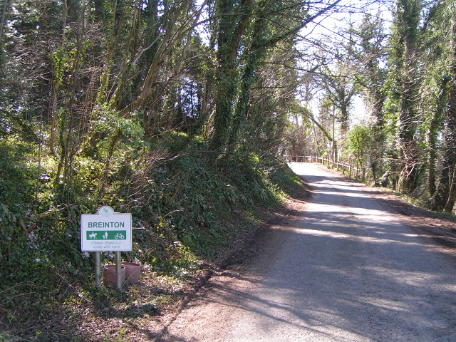
Breinton

Breinton is a civil parish in Herefordshire, England. Breinton lies just to the west of Hereford. The name Breinton appears to be a modernised form of...

Upper Breinton

Upper Breinton is a village in Herefordshire, England. It is located in the civil parish of Breinton. == References == The geographic coordinates are from...

Clehonger

Clehonger is a village and civil parish in Herefordshire, England, and 7 km (4.3 mi) south-west of Hereford. Clehonger is from the old English 'Clayey...

Church of St Mary Magdalene, Stretton Sugwas

The Church of St Mary Magdalene is an Anglican church in the village of Stretton Sugwas, in Herefordshire, England. The church is in the Burghill Benefice...

The Weir Garden

The Weir Garden is a National Trust property near Swainshill (see Stretton Sugwas), Herefordshire, lying alongside the River Wye 5 mi (8.0 km) west of...

Warham, Herefordshire

Warham is a place in the English county of Herefordshire. It is situated about 3 km west of the city of Hereford, close to the north bank of the River...

Madley

Madley is a village and civil parish in the English county of Herefordshire. It is located six miles west of the city of Hereford. The population of the...

Nearby Amenities

Located within 500m of 52.049995,-2.8020917
Telephone Box
Naptan AtcoCode: 2090A150000
Naptan Bearing: W
Naptan BusStopType: CUS
Naptan CommonName: Telephone Box
Naptan Indicator: adj
Naptan Landmark: N/K
Naptan NaptanCode: heragjmd
Naptan Street: N/K
Naptan Verified: no
Source: naptan_import
Lat/Long: 52.0494054/-2.802835
Telephone Box
Naptan AtcoCode: 2090A987650
Naptan Bearing: E
Naptan BusStopType: CUS
Naptan CommonName: Telephone Box
Naptan Indicator: opp
Naptan Landmark: Telephone Box
Naptan NaptanCode: heraptdw
Naptan Street: N/K
Naptan Verified: no
Source: naptan_import
Lat/Long: 52.0530122/-2.7973431
Ruckhall
Place: village
Lat/Long: 52.0488817/-2.8019536
Telephone
Defibrillator
Access: yes
Booth: K6
Covered: booth
Defibrillator Location: inside red phone box, Ruckhall
Emergency: defibrillator
Man Made: telephone_box
Old Phone: +44 1981 250410
Lat/Long: 52.0493782/-2.8027932
Generator Method: photovoltaic
Generator Output Electricity: yes
Generator Source: solar
Generator Type: solar_photovoltaic_panel
Location: roof
Power: generator
Lat/Long: 52.0532838/-2.797544
Generator Method: photovoltaic
Generator Output Electricity: yes
Generator Source: solar
Generator Type: solar_photovoltaic_panel
Location: roof
Power: generator
Lat/Long: 52.0466595/-2.8009021
Generator Method: photovoltaic
Generator Output Electricity: yes
Generator Source: solar
Generator Type: solar_photovoltaic_panel
Location: roof
Power: generator
Lat/Long: 52.0494769/-2.8015029
Post Box
Post Box Mounting: pier
Post Box Type: lamp
Royal Cypher: EIIR
Royal Cypher Wikidata: Q33102113
Lat/Long: 52.0493964/-2.8028185
Information: board
Operator: National Trust
Tourism: information
Lat/Long: 52.0477847/-2.7994686
Information: board
Tourism: information
Lat/Long: 52.0529863/-2.7973571
The data included in this document is from www.openstreetmap.org. The data is made available under ODbL.

Have you been to Ruckhall Common?

Leave your review of Ruckhall Common below (or comments, questions and feedback).