Ruckhall Wood
Wood, Forest in Herefordshire
England
Ruckhall Wood
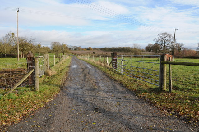
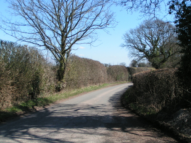
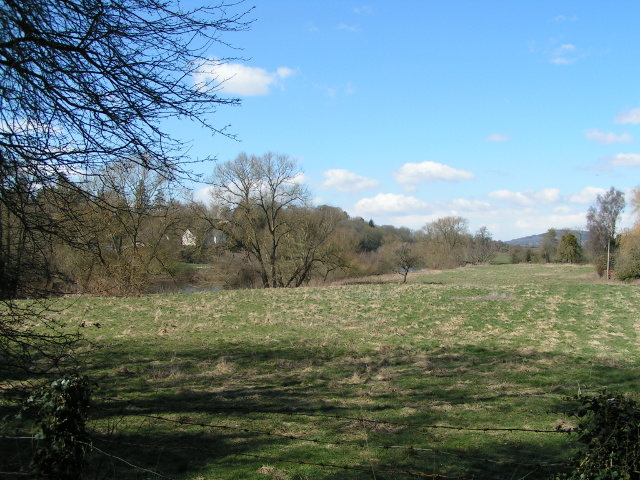
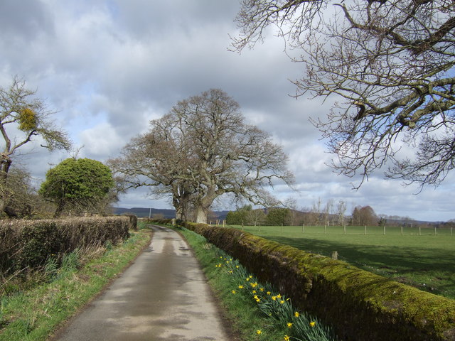
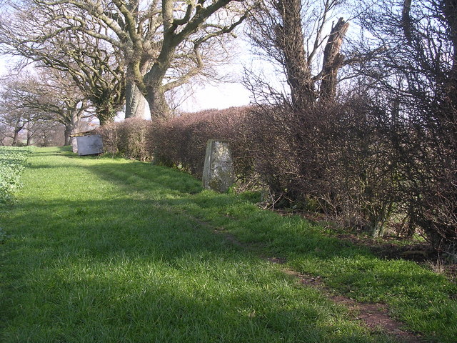
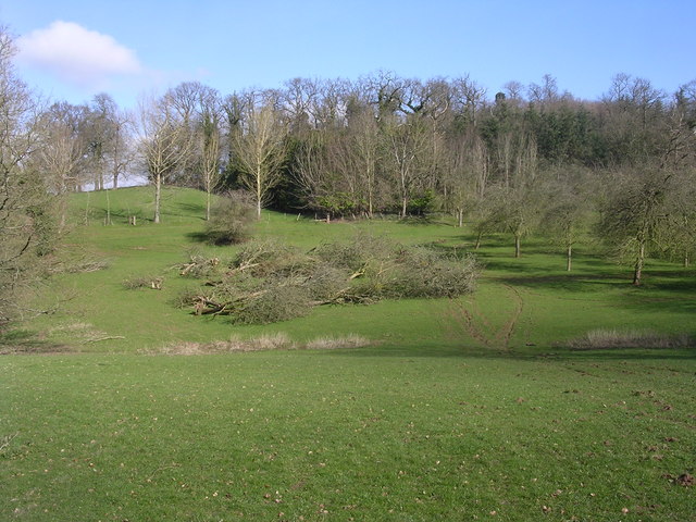
Ruckhall Wood is a picturesque woodland located in the county of Herefordshire, England. Stretching across an area of approximately 120 acres, it is nestled in the heart of the beautiful Herefordshire countryside. The wood is situated just east of the small village of Ruckhall, which lends its name to the woodland.
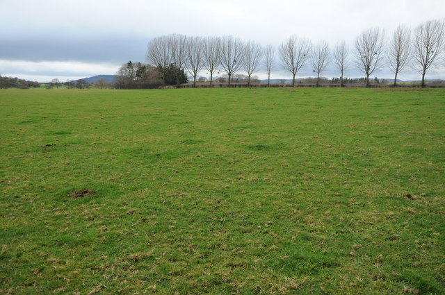
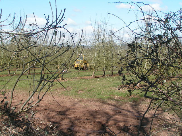
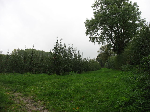
This ancient woodland boasts a rich and diverse ecosystem, with a variety of tree species including oak, ash, beech, and birch. The dense canopy created by these towering trees provides a habitat for an array of wildlife, making Ruckhall Wood a haven for nature enthusiasts and wildlife lovers alike.
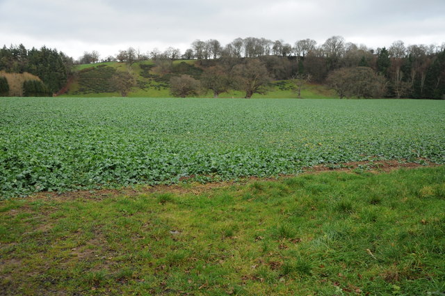
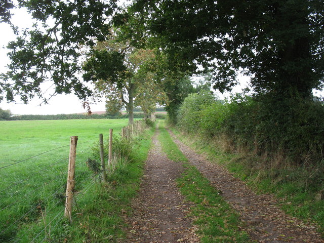
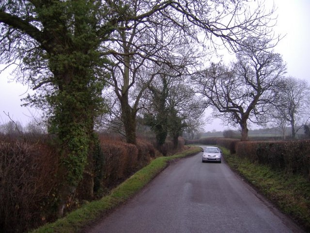
Visitors to Ruckhall Wood can enjoy a peaceful and tranquil atmosphere, perfect for those seeking a respite from the hustle and bustle of everyday life. The wood is crisscrossed with a network of footpaths and trails, allowing visitors to explore its natural beauty at their own pace. As they wander through the wood, visitors may stumble upon hidden clearings, babbling streams, and carpets of wildflowers.
The wood also holds historical significance, as it is believed to have been in existence since medieval times. Its ancient origins are evident in the presence of old boundary ditches and remnants of stone walls, which serve as a reminder of the wood's long-standing connection with the local community.
Overall, Ruckhall Wood offers a captivating blend of natural beauty, tranquility, and historical charm. Whether one seeks a leisurely stroll, a peaceful picnic spot, or an opportunity to spot some fascinating wildlife, this woodland is a truly enchanting destination in Herefordshire.
If you have any feedback on the listing, please let us know in the comments section below.
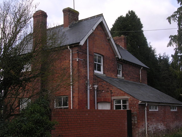
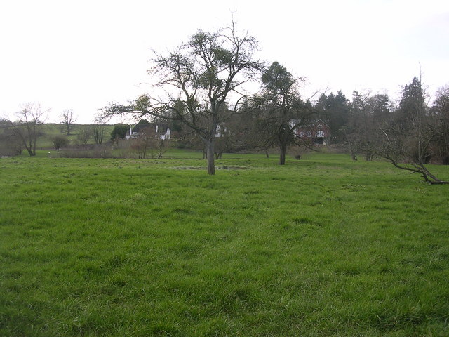
Ruckhall Wood Images
Images are sourced within 2km of 52.046767/-2.7968428 or Grid Reference SO4539. Thanks to Geograph Open Source API. All images are credited.
Ruckhall Wood is located at Grid Ref: SO4539 (Lat: 52.046767, Lng: -2.7968428)
Unitary Authority: County of Herefordshire
Police Authority: West Mercia
What 3 Words
///washed.indulges.preheated. Near Belmont, Herefordshire
Nearby Locations
Related Wikis

Eaton Bishop
Eaton Bishop is a small village and civil parish in Herefordshire, West Midlands, England. It is located south west of Hereford and is between the villages...

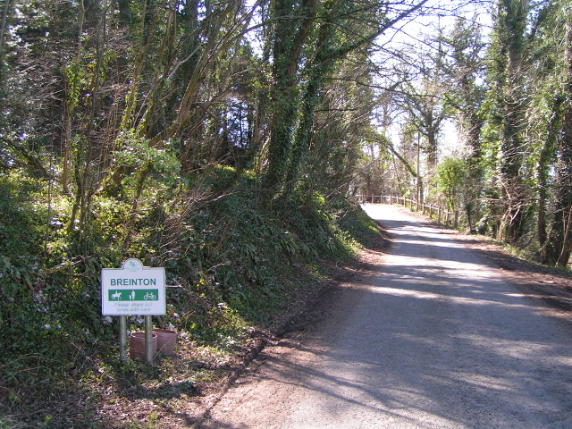
Breinton
Breinton is a civil parish in Herefordshire, England. Breinton lies just to the west of Hereford. The name Breinton appears to be a modernised form of...

Clehonger
Clehonger is a village and civil parish in Herefordshire, England, and 7 km (4.3 mi) south-west of Hereford. Clehonger is from the old English 'Clayey...

Upper Breinton
Upper Breinton is a village in Herefordshire, England. It is located in the civil parish of Breinton. == References == The geographic coordinates are from...
Warham, Herefordshire
Warham is a place in the English county of Herefordshire. It is situated about 3 km west of the city of Hereford, close to the north bank of the River...

Belmont Abbey, Herefordshire
Belmont Abbey, in Herefordshire, England, is a Catholic Benedictine monastery that forms part of the English Benedictine Congregation. It stands on a small...

Allensmore
Allensmore is a village in Herefordshire, England. It is located on the A465 road about 4 miles (6 km) south-west of Hereford. The church is dedicated...

Church of St Mary Magdalene, Stretton Sugwas
The Church of St Mary Magdalene is an Anglican church in the village of Stretton Sugwas, in Herefordshire, England. The church is in the Burghill Benefice...
Related Videos

Breinton spring Herefordshire. #walking #vanlife #travel #shorts #adventure #blogger #dog #fun
We went to Brighton Springs in west Hereford. It's a beautiful National Trust walk with lots of wildlife and beautiful trees Links ...

The Weir Garden on the bank of the River Wye filmed in 4K
We take a relaxing walk through the Weir Garden in Herefordshire England. It is looked after by the National Trust, and sits on the ...

Daffodils galore at the Weir Garden
The Weir Garden is situated near Swainshill in Herefordshire and is a national trust property. It was created by its prior owner ...

Refreshing Wye Swim | Breinton to Hereford | Old Mates | Banter | Bathing Beauty
Refreshing Wye Swim | Breinton to Hereford | Old Mates | Banter | Bathing Beauty Subscribe to the Wye Explorer channel ...
Nearby Amenities
Located within 500m of 52.046767,-2.7968428Have you been to Ruckhall Wood?
Leave your review of Ruckhall Wood below (or comments, questions and feedback).