Eaton Camp

Heritage Site in Herefordshire

England

Eaton Camp

Farmland at Breinton A footpath follows this fence separating this field and orchard.
Farmland at Breinton Credit: Philip Halling

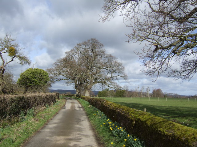
Eaton Camp is a historical site located in Herefordshire, England. It is an ancient hillfort situated on Beacon Hill, near the village of Eaton Bishop. The site is believed to have been occupied during the Iron Age, around 500 BC, and was later used as a Roman signal station.

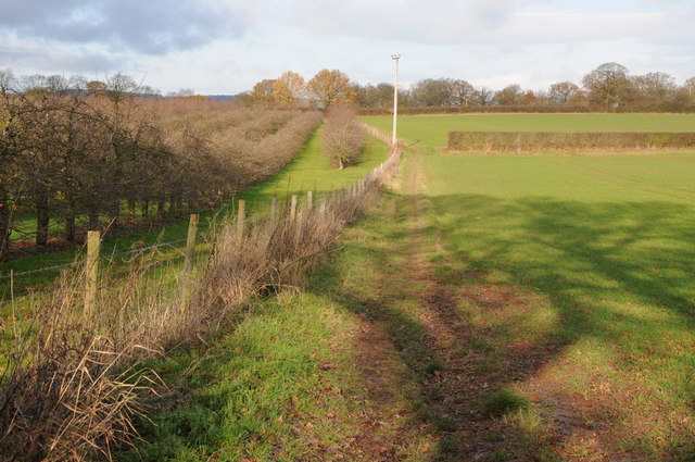
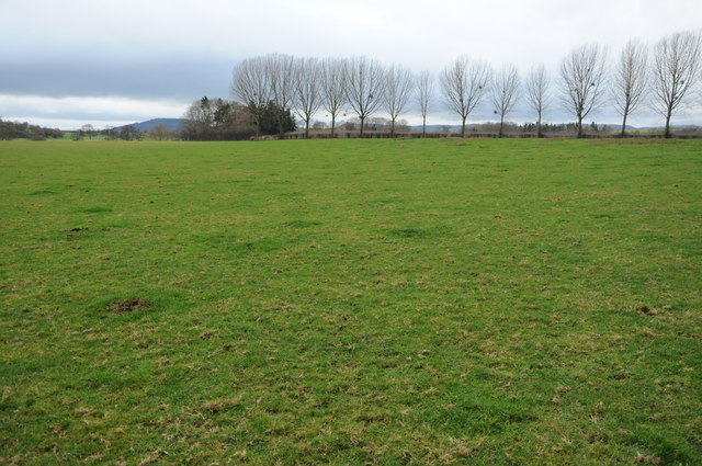
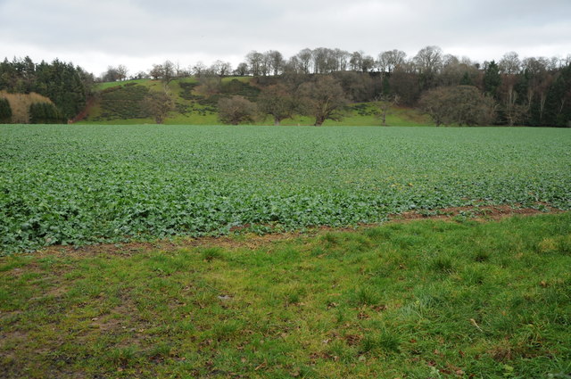
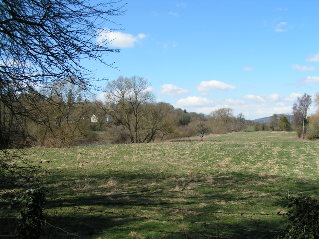
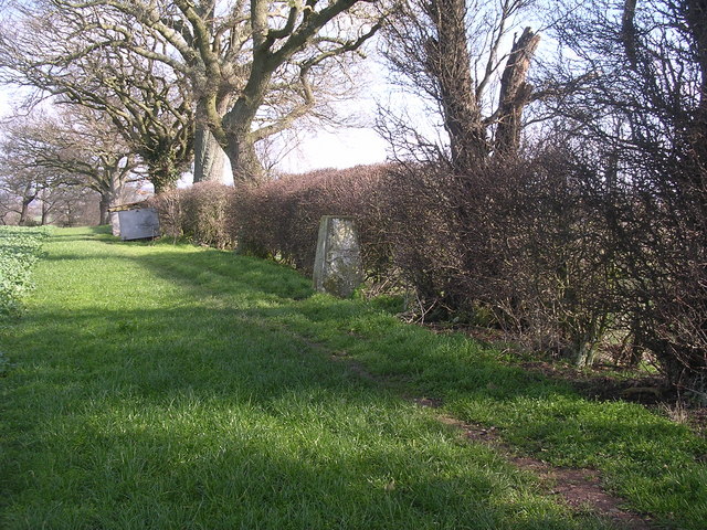
The hillfort at Eaton Camp covers an area of approximately 5 acres and is enclosed by a series of earthworks and ditches. The ramparts are well-preserved and provide a clear indication of the fortification system used during the Iron Age. The site offers panoramic views of the surrounding countryside, making it strategically significant for defensive purposes.

Archaeological discoveries at Eaton Camp have provided valuable insights into the lives of the people who inhabited the site. Excavations have revealed evidence of roundhouses and storage pits, indicating a settled community. Additionally, a number of artifacts have been found, including pottery, flint tools, and metalwork, which shed light on the material culture of the inhabitants.

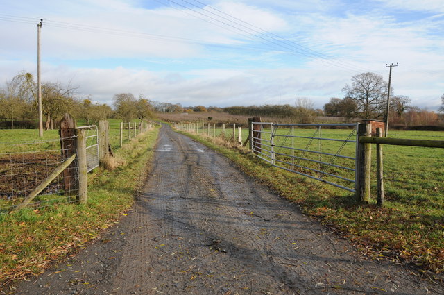
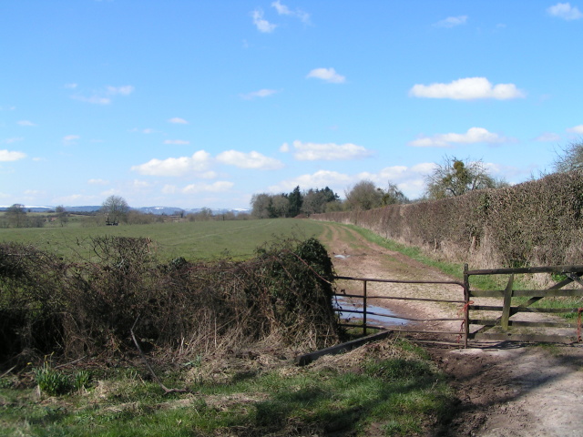
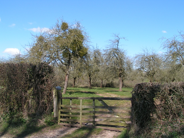
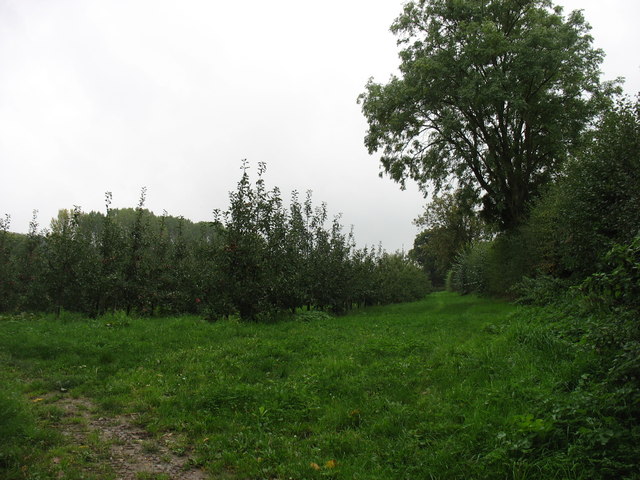
Eaton Camp has been designated as a Scheduled Ancient Monument, recognizing its historic and archaeological importance. It attracts both historians and visitors interested in exploring the ancient past of Herefordshire. The site is accessible to the public, with footpaths and information boards providing guidance and interpretation. Eaton Camp offers a unique opportunity to witness the remains of an Iron Age hillfort and gain a deeper understanding of the region's rich heritage.

If you have any feedback on the listing, please let us know in the comments section below.
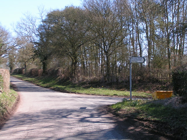
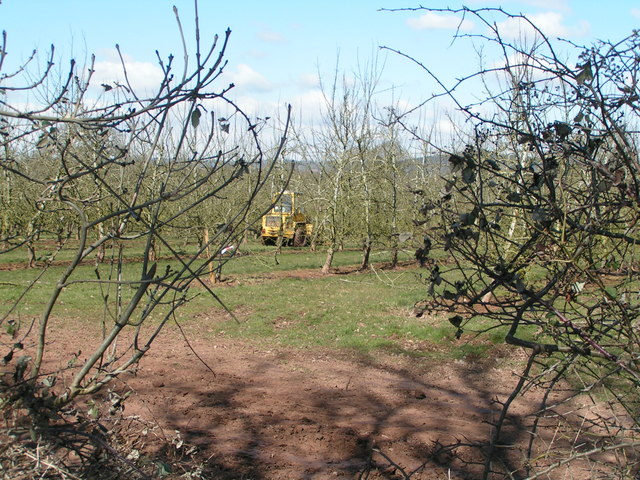
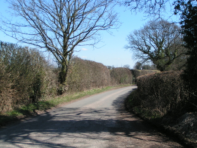
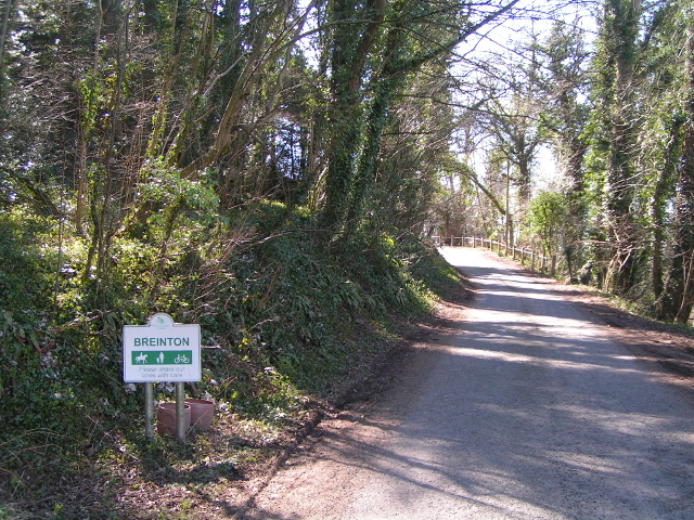
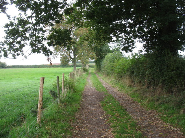
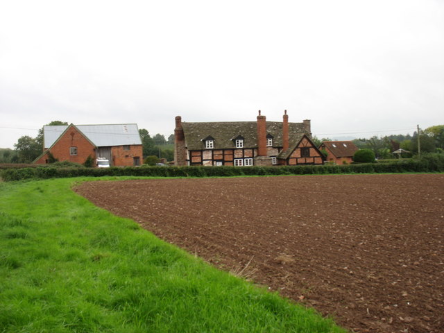
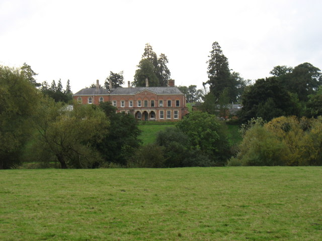
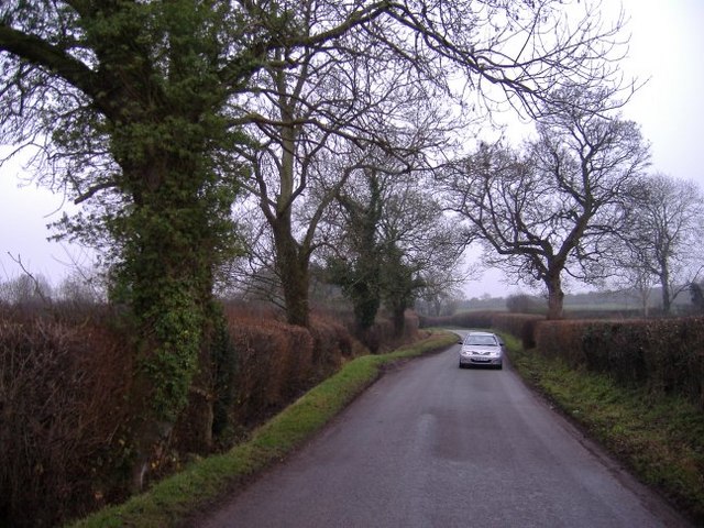
Eaton Camp Images

Images are sourced within 2km of 52.05/-2.795 or Grid Reference SO4539. Thanks to Geograph Open Source API. All images are credited.

Farmland at Breinton A footpath follows this fence separating this field and orchard.
Farmland at Breinton
A footpath follows this fence separating this field and orchard.
Farm drive at Upper Breinton
Meadowland at Breinton The Wye Valley Walk crosses this meadowland near Breinton.
Meadowland at Breinton
The Wye Valley Walk crosses this meadowland near Breinton.
Arable land at Breinton
Lane junction near Breinton Sign says "Breinton Church, Lower Breinton, Wareham"
Lane junction near Breinton
Sign says "Breinton Church, Lower Breinton, Wareham"
Working in the orchard near Upper Breinton
Lane heading east from Upper Breinton
Entering Breinton from the north
The Wye valley north of Breinton
Fields between Breinton and Swainshill, looking west
Mistletoe on the apple trees
Orchards at Sugwas Taken from the old route of the Wye Valley Walk (the new route is slightly further west).
Orchards at Sugwas
Taken from the old route of the Wye Valley Walk (the new route is slightly further west).
The Wye Valley Walk near Upper Breinton
Upper Breinton The Wye Valley Walk passes through this small village.
Upper Breinton
The Wye Valley Walk passes through this small village.
Lower Eaton House Seen from the Wye Valley Walk, the house is on the far side of the river.
Lower Eaton House
Seen from the Wye Valley Walk, the house is on the far side of the river.
The road to Upper Breinton A quiet country lane winds its way through cider orchard country.
The road to Upper Breinton
A quiet country lane winds its way through cider orchard country.
Oaks and daffodils The scenic lane near Lane Head Farm.
Oaks and daffodils
The scenic lane near Lane Head Farm.
Trig point in hedge The view from here is extensive and to the South West encompasses the Black Mountains, Black Hill and Black Darren with the escarpment of Hay Bluff. The River Wye flows just across the SW corner of this square
Trig point in hedge
The view from here is extensive and to the South West encompasses the Black Mountains, Black Hill and Black Darren with the escarpment of Hay Bluff. The River Wye flows just across the SW corner of this square
Show me another place!

Eaton Camp is located at Grid Ref: SO4539 (Lat: 52.05, Lng: -2.795)

Unitary Authority: County of Herefordshire

Police Authority: West Mercia

What 3 Words

///watchdogs.rejoin.fetches. Near Belmont, Herefordshire

Related Wikis

Breinton

Breinton is a civil parish in Herefordshire, England. Breinton lies just to the west of Hereford. The name Breinton appears to be a modernised form of...

Eaton Bishop

Eaton Bishop is a small village and civil parish in Herefordshire, West Midlands, England. It is located south west of Hereford and is between the villages...

Upper Breinton

Upper Breinton is a village in Herefordshire, England. It is located in the civil parish of Breinton. == References == The geographic coordinates are from...

Clehonger

Clehonger is a village and civil parish in Herefordshire, England, and 7 km (4.3 mi) south-west of Hereford. Clehonger is from the old English 'Clayey...

Church of St Mary Magdalene, Stretton Sugwas

The Church of St Mary Magdalene is an Anglican church in the village of Stretton Sugwas, in Herefordshire, England. The church is in the Burghill Benefice...

Warham, Herefordshire

Warham is a place in the English county of Herefordshire. It is situated about 3 km west of the city of Hereford, close to the north bank of the River...

Belmont Abbey, Herefordshire

Belmont Abbey, in Herefordshire, England, is a Catholic Benedictine monastery that forms part of the English Benedictine Congregation. It stands on a small...

Stretton Sugwas

Stretton Sugwas ( STRET-ən SUG-əs) is a village and civil parish in Herefordshire, England, about 4 miles (6.4 km) northwest of Hereford. The parish also...

Nearby Amenities

Located within 500m of 52.05,-2.795
Telephone Box
Naptan AtcoCode: 2090A987650
Naptan Bearing: E
Naptan BusStopType: CUS
Naptan CommonName: Telephone Box
Naptan Indicator: opp
Naptan Landmark: Telephone Box
Naptan NaptanCode: heraptdw
Naptan Street: N/K
Naptan Verified: no
Source: naptan_import
Lat/Long: 52.0530122/-2.7973431
Ruckhall
Place: village
Lat/Long: 52.0488817/-2.8019536
Generator Method: photovoltaic
Generator Output Electricity: yes
Generator Source: solar
Generator Type: solar_photovoltaic_panel
Location: roof
Power: generator
Lat/Long: 52.0532838/-2.797544
Generator Method: photovoltaic
Generator Output Electricity: yes
Generator Source: solar
Generator Type: solar_photovoltaic_panel
Location: roof
Power: generator
Lat/Long: 52.0494769/-2.8015029
Information: board
Operator: National Trust
Tourism: information
Lat/Long: 52.0477847/-2.7994686
Board Type: history
Information: board
Operator: National Trust
Tourism: information
Lat/Long: 52.0495902/-2.7946191
Information: board
Tourism: information
Lat/Long: 52.0529863/-2.7973571
The data included in this document is from www.openstreetmap.org. The data is made available under ODbL.

Have you been to Eaton Camp?

Leave your review of Eaton Camp below (or comments, questions and feedback).