Ebbingford Manor
Heritage Site in Cornwall
England
Ebbingford Manor

Ebbingford Manor is a historic heritage site located in Cornwall, England. Situated amidst the picturesque countryside, this magnificent manor dates back to the 15th century and is renowned for its architectural grandeur and historical significance.
The manor boasts a unique blend of medieval and Tudor architectural styles, showcasing intricate stonework, decorative carvings, and elegant mullioned windows. The imposing façade of the manor is complemented by sprawling gardens and a tranquil moat, adding to its charm and allure.
As visitors step inside, they are transported back in time, immersing themselves in the rich history that embodies Ebbingford Manor. The interior showcases opulent living spaces, such as the Great Hall, with its magnificent oak beams and a large fireplace that exudes a sense of medieval grandeur.
Throughout the manor, visitors can explore various rooms, including the library, drawing rooms, and dining halls, each adorned with antique furniture, tapestries, and artwork that showcase the tastes and lifestyle of the noble families who once resided there.
Ebbingford Manor is also known for its extensive collection of historical artifacts and relics, providing an insight into the cultural and social aspects of the time. From ancient manuscripts to exquisite pottery, these treasures offer a glimpse into the past and provide a fascinating educational experience.
The manor is often open to the public, allowing visitors to wander through its halls and gardens, experiencing the grandeur and history firsthand. Ebbingford Manor is a testament to Cornwall's rich heritage and serves as a captivating destination for history enthusiasts, architecture admirers, and those seeking a glimpse into the past.
If you have any feedback on the listing, please let us know in the comments section below.
Ebbingford Manor Images
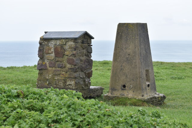
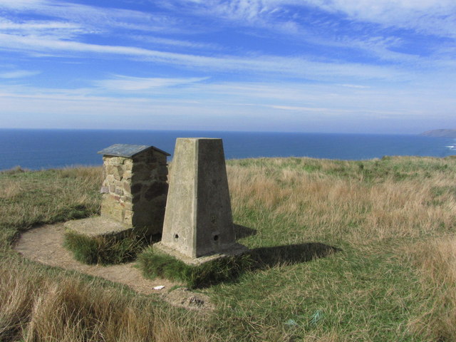
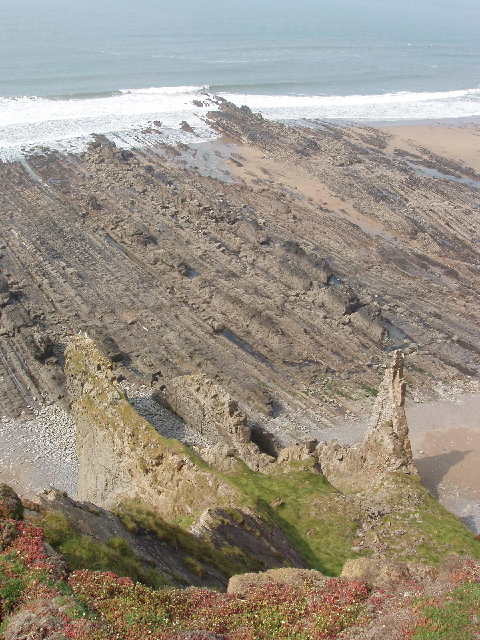
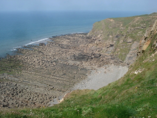
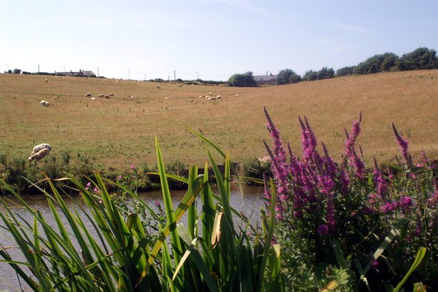
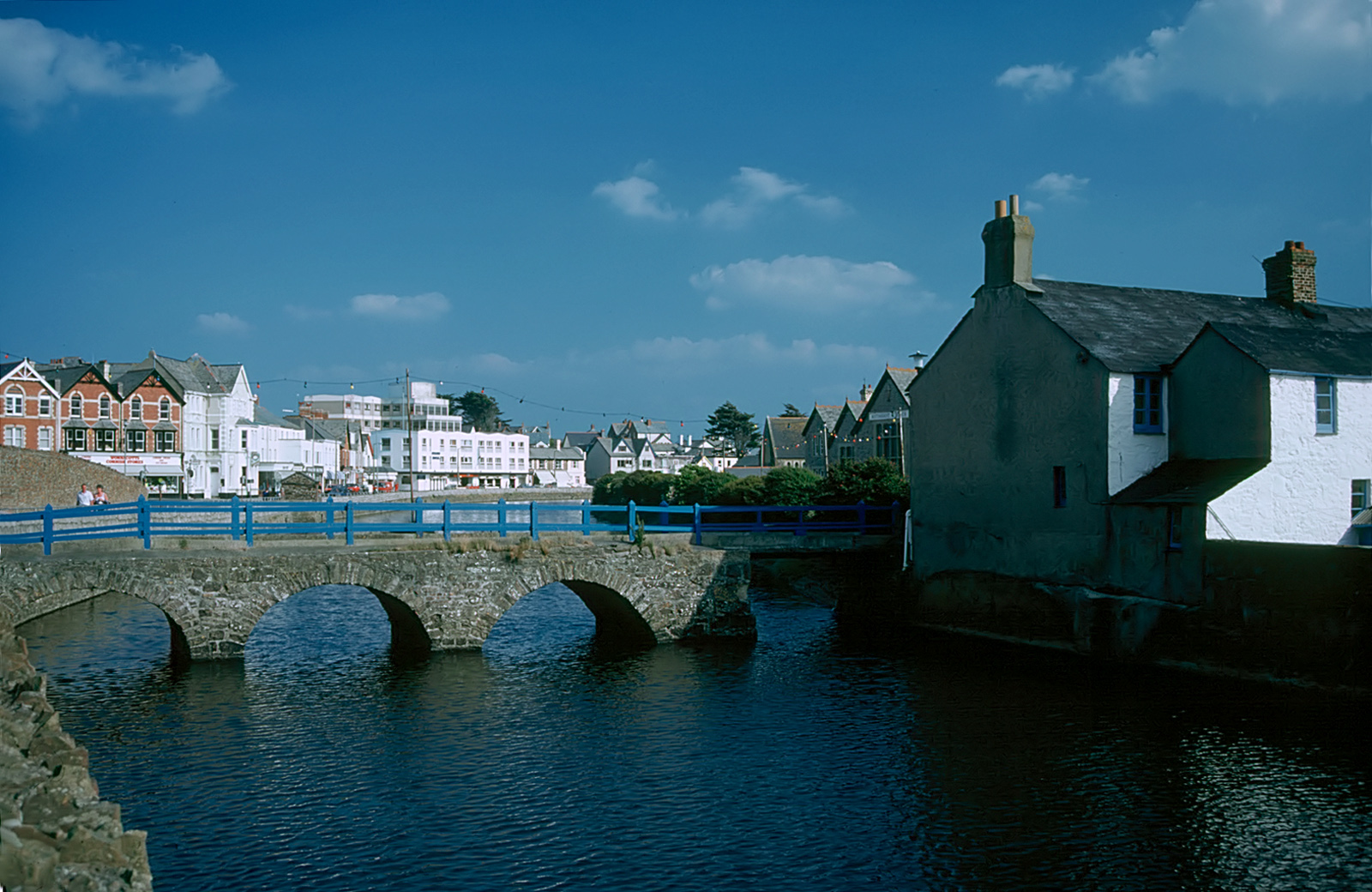
Images are sourced within 2km of 50.82/-4.548 or Grid Reference SS2005. Thanks to Geograph Open Source API. All images are credited.


Ebbingford Manor is located at Grid Ref: SS2005 (Lat: 50.82, Lng: -4.548)
Unitary Authority: Cornwall
Police Authority: Devon and Cornwall
What 3 Words
///supposed.transfers.aboard. Near Bude, Cornwall
Nearby Locations
Related Wikis
Lynstone
Lynstone is a hamlet near Bude in north Cornwall, England. At the 2011 census the population at the 2011 census was included in the civil parish of Bude...
Bude
Bude (; Standard Written Form: Porthbud) is a seaside town in north Cornwall, England, United Kingdom, in the civil parish of Bude-Stratton and at the...
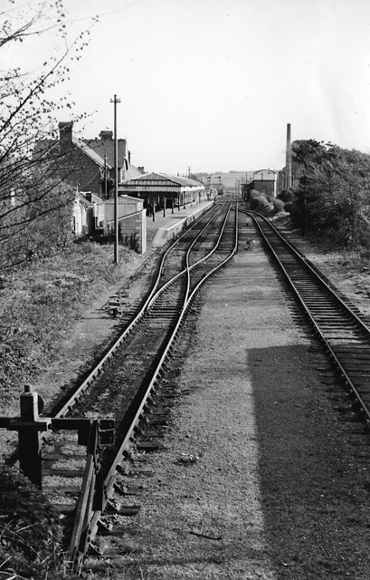
Bude railway station
Bude railway station (Cornish: Porthbud) was the western terminus of the Bude Branch. It was opened in 1898 by the London and South Western Railway (LSWR...

Cornish Way
The Cornish Way is a cycle route which is part of the National Cycle Network that links Bude to Land's End. The route is via Padstow or St Austell and...
Nearby Amenities
Located within 500m of 50.82,-4.548Have you been to Ebbingford Manor?
Leave your review of Ebbingford Manor below (or comments, questions and feedback).