Crag Wood
Wood, Forest in Westmorland South Lakeland
England
Crag Wood

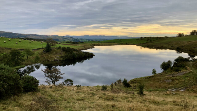
Crag Wood is a picturesque woodland located in Westmorland, a historic county in the northwest of England. Nestled within the stunning Lake District National Park, this enchanting forest covers an area of approximately 100 acres.
With its diverse range of trees, Crag Wood offers a captivating display of natural beauty throughout the year. The woodland is predominantly populated by native species such as oak, birch, beech, and ash, creating a vibrant and varied ecosystem. These towering trees provide shelter and food for a plethora of wildlife, including birds, squirrels, and deer, making it a haven for nature enthusiasts.
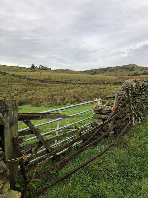
Tranquil pathways wind their way through Crag Wood, inviting visitors to explore its serene surroundings. These well-maintained trails provide easy access to the heart of the forest, where visitors can immerse themselves in the tranquility of their surroundings. The woodland offers a sense of peace and serenity, making it an ideal place for relaxation, meditation, or a leisurely stroll.
Crag Wood is also rich in history, with remnants of ancient settlements and archaeological sites scattered throughout its grounds. The forest has witnessed centuries of human presence, and these historical remnants serve as a reminder of the area's past.
Overall, Crag Wood is a remarkable woodland that showcases the natural beauty and rich history of Westmorland. It offers a sanctuary for both nature enthusiasts and those seeking a peaceful retreat, making it a must-visit destination for anyone exploring the Lake District National Park.
If you have any feedback on the listing, please let us know in the comments section below.
Crag Wood Images
Images are sourced within 2km of 54.369706/-2.8411887 or Grid Reference SD4597. Thanks to Geograph Open Source API. All images are credited.


Crag Wood is located at Grid Ref: SD4597 (Lat: 54.369706, Lng: -2.8411887)
Administrative County: Cumbria
District: South Lakeland
Police Authority: Cumbria
What 3 Words
///balancing.walkway.conqueror. Near Staveley, Cumbria
Nearby Locations
Related Wikis
Ings, Cumbria
Ings is a village in the South Lakeland district of Cumbria, England. It lies on the course on the River Gowan and A591 road, 2 miles (3.2 km) east of...

Hugill
Hugill is a civil parish in Cumbria, England. Hugill includes the village of Ings and the hamlets of Grassgarth, and Reston plus a large part of the village...
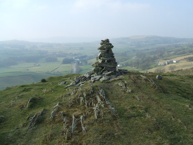
Reston Scar
Reston Scar is a fell in the Lake District of Cumbria, England. With a height of 837 feet (255 m), it overlooks the north side of Staveley village, and...
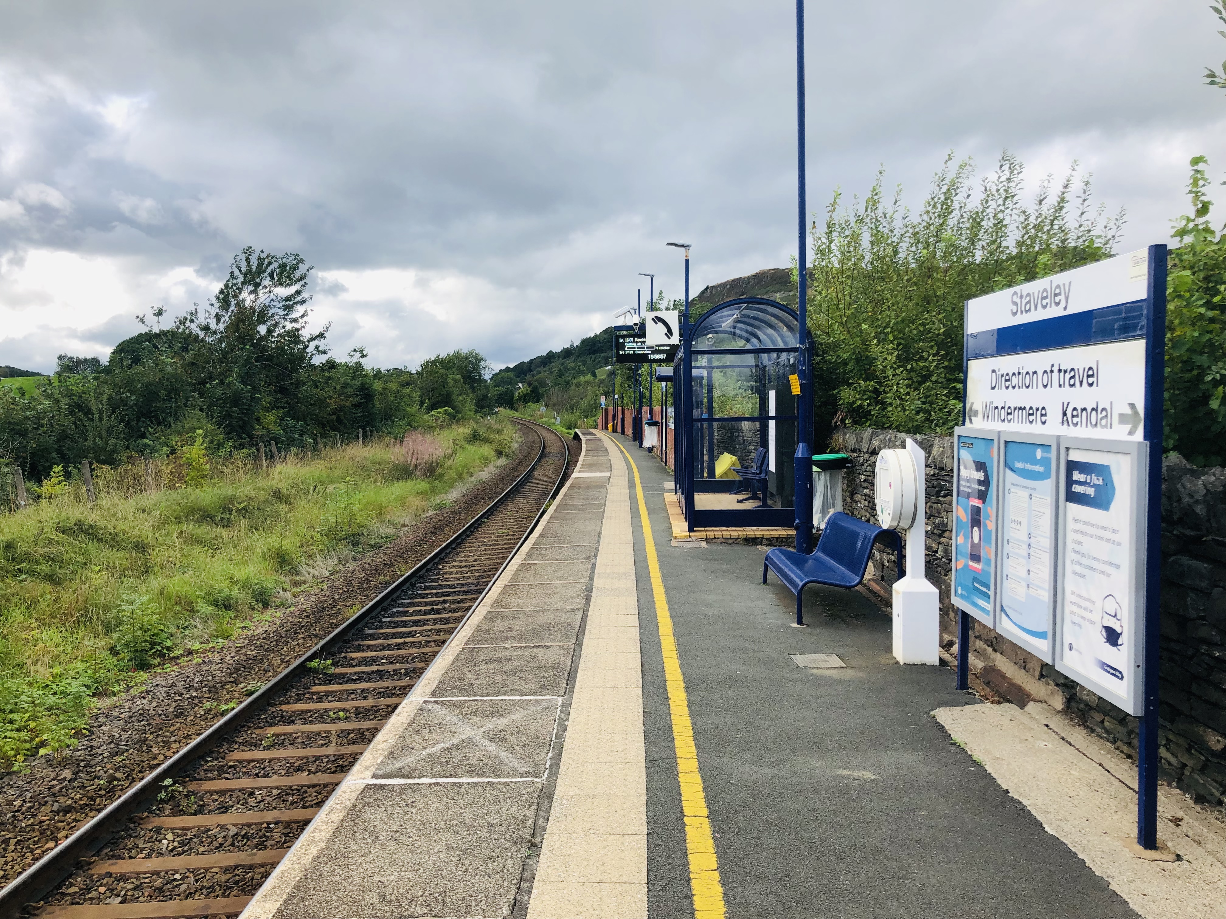
Staveley railway station
Staveley railway station is a railway station in Staveley in Cumbria, England. The station is on the Windermere Branch Line connecting Oxenholme and Windermere...

Nether Staveley
Nether Staveley is a civil parish in South Lakeland, Cumbria, England. The parish comprises the part of the village of Staveley south of the River Gowan...
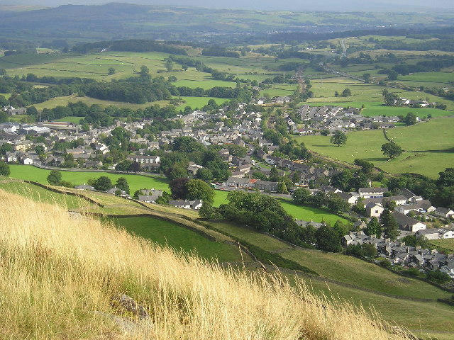
Staveley, Cumbria
Staveley (grid reference SD469981) is a village in the South Lakeland district, in Cumbria, England. Historically part of Westmorland, it is situated 4...
Over Staveley
Over Staveley is a civil parish in South Lakeland, Cumbria, England. The parish comprises most of the village of Staveley north of the River Gowan, and...
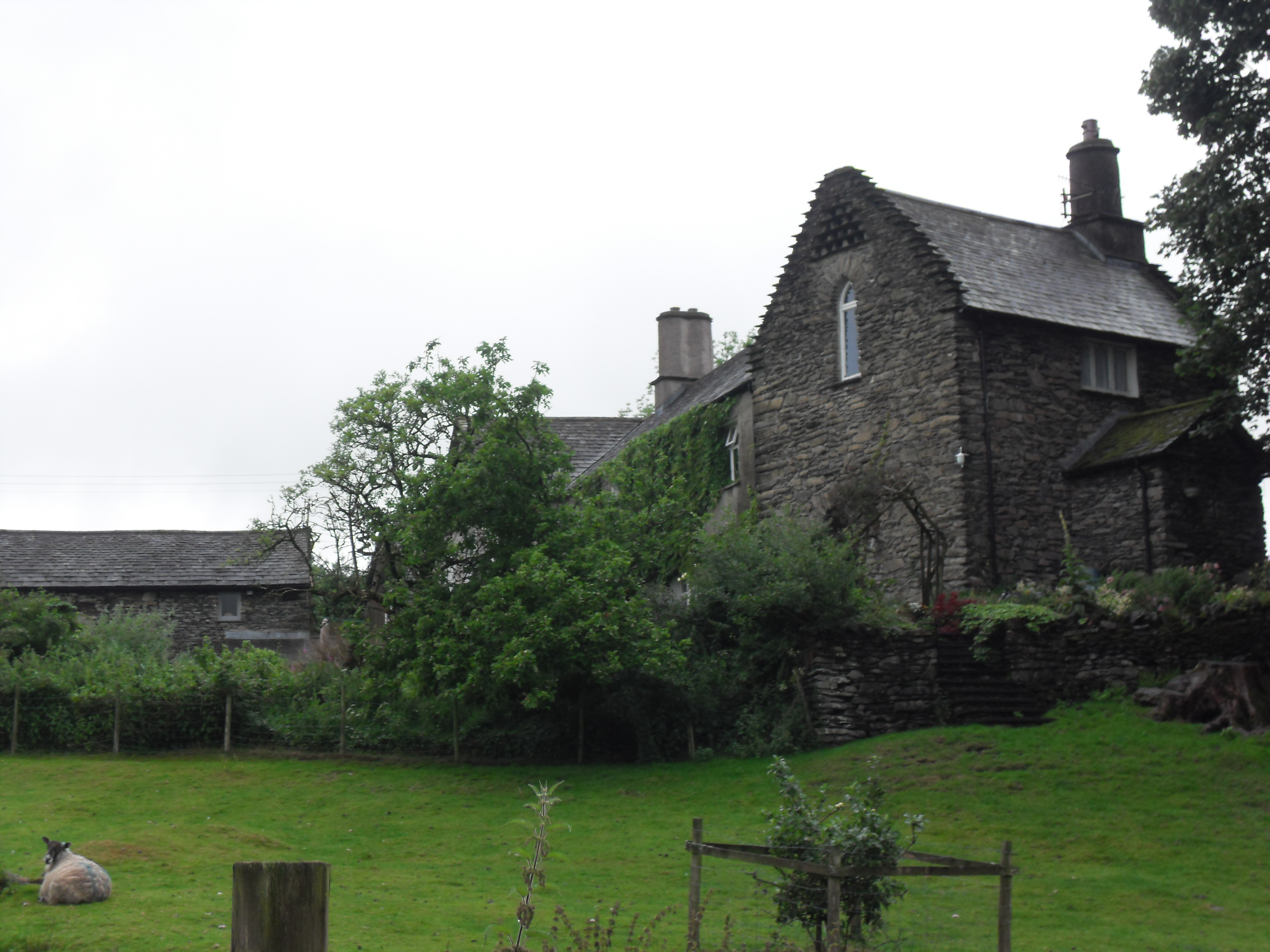
Hollin Hall, Cumbria
Hollin Hall is a country house in Crook in Cumbria. It is a Grade II listed building. == History == The hall, formerly called Thwatterden Hall, is a 14th...
Nearby Amenities
Located within 500m of 54.369706,-2.8411887Have you been to Crag Wood?
Leave your review of Crag Wood below (or comments, questions and feedback).