Blackburn's Plantation
Wood, Forest in Lancashire
England
Blackburn's Plantation

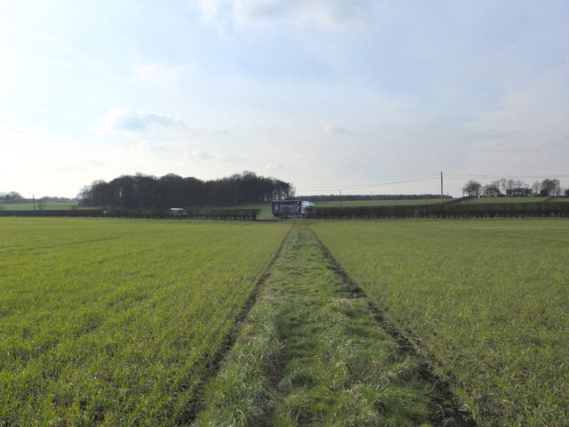
Blackburn's Plantation is a woodland located in the county of Lancashire, England. Situated in the town of Blackburn, this plantation spans a considerable area and is known for its lush greenery and diverse flora and fauna.
The plantation is characterized by its dense forest cover, with a variety of tree species such as oak, beech, and birch dominating the landscape. The woodland provides a haven for wildlife, supporting a wide range of species including birds, small mammals, and insects. It is a popular destination for nature enthusiasts and birdwatchers, who can often spot rare species within its boundaries.
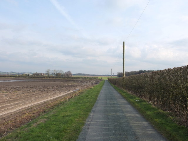
The plantation offers several walking trails and paths that allow visitors to explore its natural beauty. These paths wind through the woodland, offering glimpses of picturesque scenery and opportunities for peaceful walks. The tranquil atmosphere and the sound of birdsong make it an ideal spot for relaxation and reflection.
Blackburn's Plantation also serves as an important carbon sink, contributing to the overall environmental health of the region. The trees within the plantation absorb carbon dioxide and release oxygen, helping to mitigate the effects of climate change.
In addition to its ecological significance, the plantation holds historical importance. It is believed to have been part of an ancient forest that covered the area centuries ago. The remnants of this forest can still be seen in parts of the woodland, adding to its allure and charm.
Overall, Blackburn's Plantation is a cherished natural resource within Lancashire, offering a tranquil retreat for nature lovers and playing a vital role in maintaining the ecological balance of the region.
If you have any feedback on the listing, please let us know in the comments section below.
Blackburn's Plantation Images
Images are sourced within 2km of 53.477022/-2.8178197 or Grid Reference SJ4598. Thanks to Geograph Open Source API. All images are credited.


Blackburn's Plantation is located at Grid Ref: SJ4598 (Lat: 53.477022, Lng: -2.8178197)
Unitary Authority: Knowsley
Police Authority: Merseyside
What 3 Words
///drooling.lines.hubcaps. Near Knowsley, Merseyside
Nearby Locations
Related Wikis

Knowsley (UK Parliament constituency)
Knowsley is a constituency represented in the House of Commons of the UK Parliament since its 2010 creation by George Howarth of the Labour Party. ��2...

Knowsley North and Sefton East (UK Parliament constituency)
Knowsley North and Sefton East was a county constituency represented in the House of Commons of the Parliament of the United Kingdom. It elected one Member...

Liverpool St Helens F.C.
Liverpool St Helens Football Club is an English rugby union team formed from the merger of Liverpool Football Club and St. Helens RUFC. The institution...

St Mary's Church, Knowsley
St Mary's Church is in Knowsley Lane, Knowsley Village, Merseyside, England. The church is recorded in the National Heritage List for England as a designated...
Nearby Amenities
Located within 500m of 53.477022,-2.8178197Have you been to Blackburn's Plantation?
Leave your review of Blackburn's Plantation below (or comments, questions and feedback).