Bank Wood

Wood, Forest in Cumberland Eden

England

Bank Wood

The lane leading out of Sowerby Row
The lane leading out of Sowerby Row Credit: David Purchase

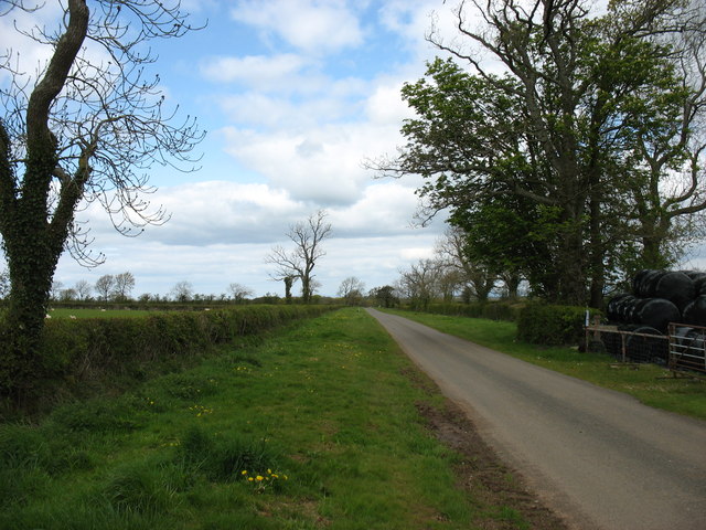
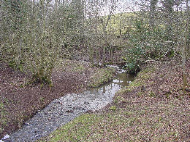
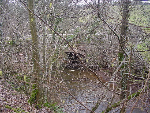
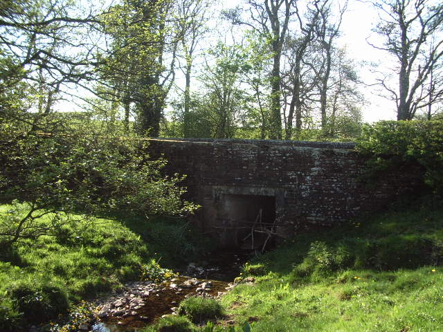
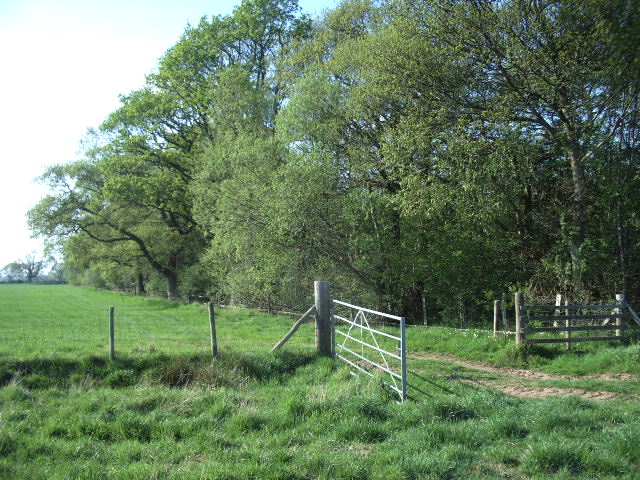
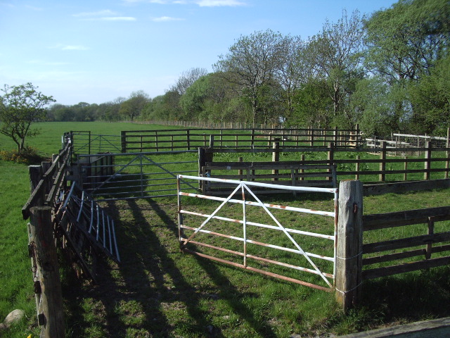
Bank Wood is a serene and enchanting forest located in the county of Cumberland, England. Stretching across an area of approximately 200 acres, this woodland is a beloved natural retreat for locals and tourists alike. The forest is situated on an elevated bank, providing visitors with breathtaking views of the surrounding countryside.

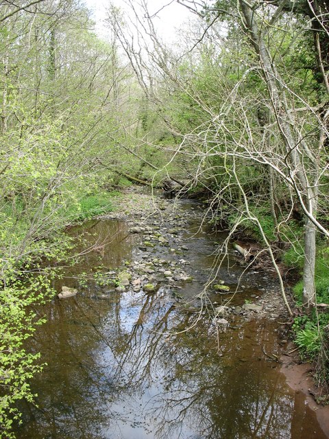
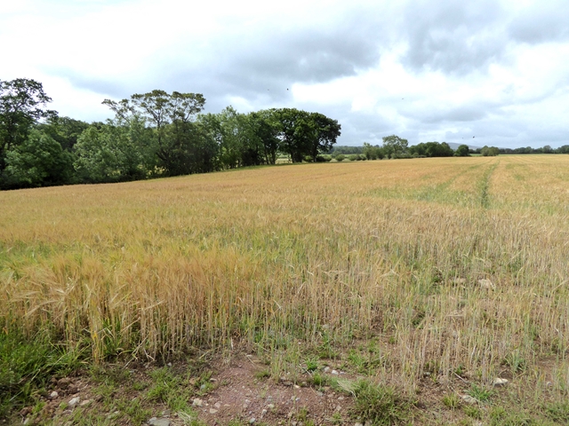
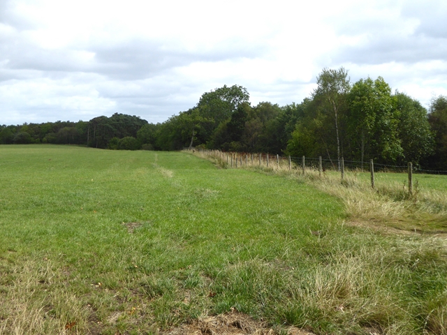
The wood is primarily composed of a mix of deciduous and coniferous trees, including oak, beech, pine, and spruce, creating a diverse and rich ecosystem. These towering trees provide a dense canopy, allowing only dappled sunlight to filter through to the forest floor. This creates a cool and shaded environment, making it a perfect escape from the summer heat.

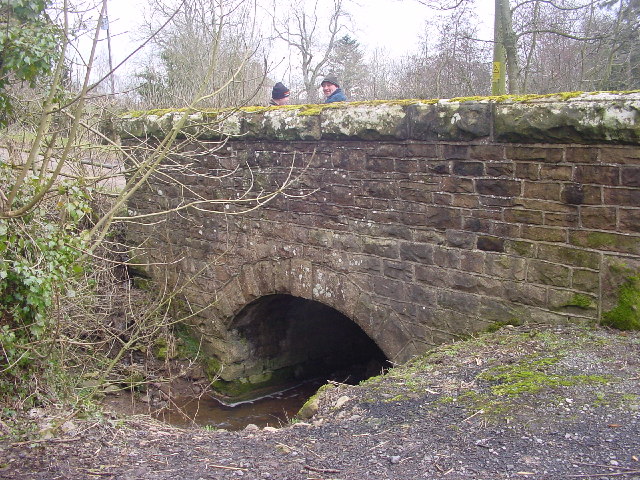
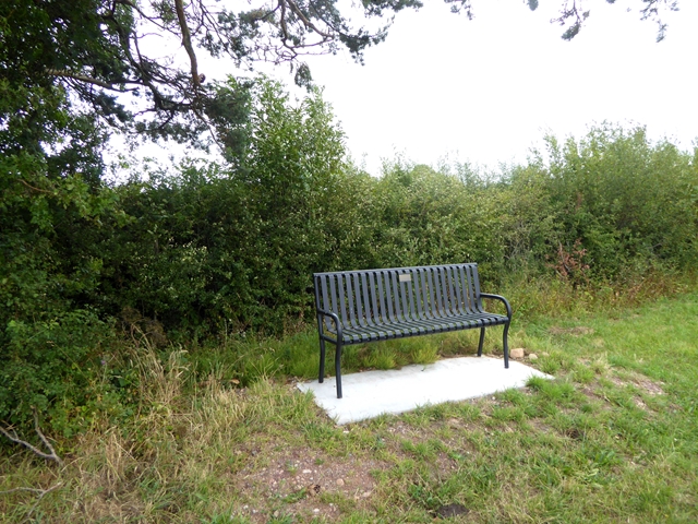
Walking through Bank Wood, one can experience the tranquility and peacefulness of nature. The forest is crisscrossed with well-maintained footpaths, allowing visitors to explore its hidden corners and discover its natural wonders. The paths wind through carpets of wildflowers, which bloom in vibrant colors during the spring and summer months, attracting a variety of butterflies and bees.

The forest is also home to an array of wildlife, including deer, squirrels, and numerous bird species. Birdwatchers can catch glimpses of woodpeckers, owls, and even the occasional buzzard soaring above the treetops.

Bank Wood offers a true escape from the hustle and bustle of everyday life, providing a peaceful haven for nature lovers and outdoor enthusiasts. Whether it's a leisurely stroll, a picnic under the shade of a tree, or simply taking in the sights and sounds of this enchanting woodland, Bank Wood is a destination that captivates all who visit.

If you have any feedback on the listing, please let us know in the comments section below.

Bank Wood Images

Images are sourced within 2km of 54.752367/-2.9312041 or Grid Reference NY4040. Thanks to Geograph Open Source API. All images are credited.

The lane leading out of Sowerby Row
Roe Beck at Roebanks Bridge Looking downstream. Roe Beck becomes the River Roe, and flows into the River Caldew in square <a href="https://www.geograph.org.uk/gridref/NY3847">NY3847</a>. The Caldew, in turn, flows into the River Eden in the centre of Carlisle <a href="https://www.geograph.org.uk/gridref/NY3956">NY3956</a>, eventually reaching the sea in the Solway Firth.
Roe Beck at Roebanks Bridge
Looking downstream. Roe Beck becomes the River Roe, and flows into the River Caldew in square NY3847. The Caldew, in turn, flows into the River Eden in the centre of Carlisle NY3956, eventually reaching the sea in the Solway Firth.
Low Buildings Livestock farm by the B5305
Low Buildings
Livestock farm by the B5305
Ditching An important part of the infrastructure of farmland. If the council won't do it, it's down to the farmer, as here.
Ditching
An important part of the infrastructure of farmland. If the council won't do it, it's down to the farmer, as here.
Bridge at Sowerby Row The road crosses the tiny Oaker Gill.
Bridge at Sowerby Row
The road crosses the tiny Oaker Gill.
Cockley Beck
Cockley Beck
Roebanks Bridge Over Roe Beck, a substantial stream
Roebanks Bridge
Over Roe Beck, a substantial stream
Rushgill House
Rushgill House
Skelton Woodend Bridge Skelton Wood Bridge spans Roe Beck
Skelton Woodend Bridge
Skelton Wood Bridge spans Roe Beck
Gate Gate leading into the field on the southwest side of Sillerea Wood
Gate
Gate leading into the field on the southwest side of Sillerea Wood
sheepfold Found on the southwest side of the road, southeast of Sillerea Wood
sheepfold
Found on the southwest side of the road, southeast of Sillerea Wood
Roadside storage, Sowerby Row The large sign "Why?" and a recumbent wicker man, pensioned off from a pop festival elsewhere in the county, are stored beside National Cycle Network route 7 in the countryside south of Carlisle.
Roadside storage, Sowerby Row
The large sign "Why?" and a recumbent wicker man, pensioned off from a pop festival elsewhere in the county, are stored beside National Cycle Network route 7 in the countryside south of Carlisle.
Hedge and farm track near Roe Foot Farm Cockley Beck runs in the slight dip in the ground in the middle distance.
Hedge and farm track near Roe Foot Farm
Cockley Beck runs in the slight dip in the ground in the middle distance.
Driveway to Ratten Castle Farm With a small installation by the entrance.
Driveway to Ratten Castle Farm
With a small installation by the entrance.
Field of barley Near Cockleygill Bridge. Cockley Gill runs in the trees to the left.
Field of barley
Near Cockleygill Bridge. Cockley Gill runs in the trees to the left.
Field near Cockleygill Bridge Cockley Beck runs in the trees to the right.
Field near Cockleygill Bridge
Cockley Beck runs in the trees to the right.
Roadside seat Commemorating Sowerby Row Sports, 2012.
Roadside seat
Commemorating Sowerby Row Sports, 2012.
Oaker Lodge Farm
Oaker Lodge Farm
Show me another place!

Bank Wood is located at Grid Ref: NY4040 (Lat: 54.752367, Lng: -2.9312041)

Administrative County: Cumbria

District: Eden

Police Authority: Cumbria

What 3 Words

///shadow.paper.appraised. Near Dalston, Cumbria

Related Wikis

Middlesceugh

Middlesceugh is a hamlet in the civil parish of Skelton, in the Eden district, in the county of Cumbria, England. Middlesceugh has a SSSI called Middlesceugh...

Castle Sowerby

Castle Sowerby is a civil parish in the Eden District of Cumbria, England. In 2001 it had a population of 337, increasing to 344 at the 2011 Census, and...

High Head Castle

High Head Castle is a large fortified manor house in the English county of Cumbria. It is located between Carlisle and Penrith. The house is now largely...

Ivegill

Ivegill is a small village in Cumbria, England. The village has one place of worship and a school. It is located on an unclassified road near Southwaite...

Have you been to Bank Wood?

Leave your review of Bank Wood below (or comments, questions and feedback).