Pincherhill Wood

Wood, Forest in Cumberland Eden

England

Pincherhill Wood

The lane leading out of Sowerby Row
The lane leading out of Sowerby Row Credit: David Purchase

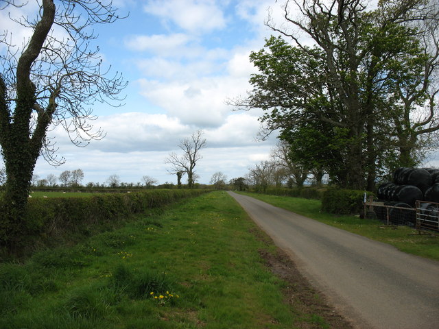
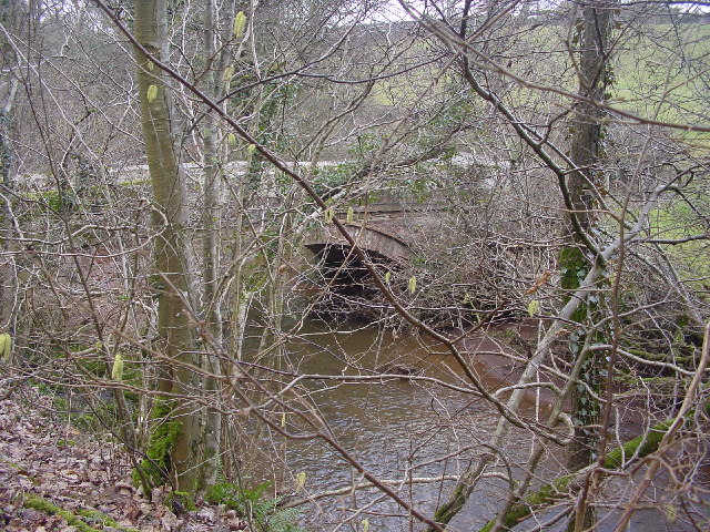
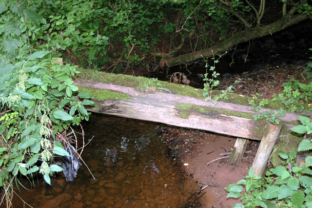
Pincherhill Wood is a picturesque forest located in Cumberland, a historic county in the northwest of England. Spanning approximately 200 acres, this woodland is a natural haven for outdoor enthusiasts and nature lovers alike.

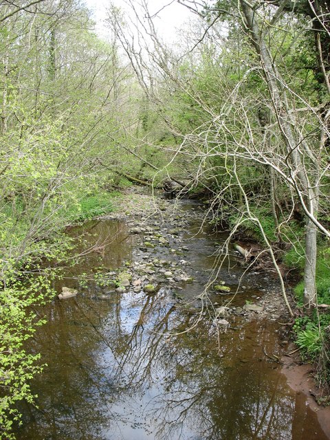
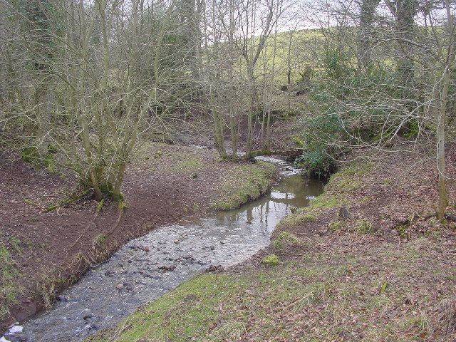
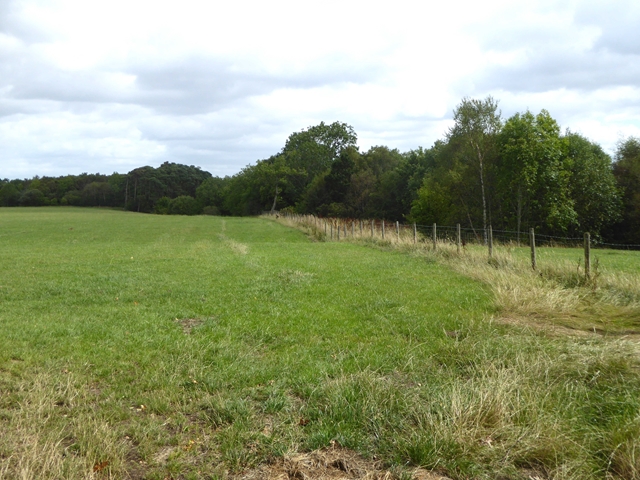
The wood is characterized by its diverse range of trees, including oak, beech, and birch, which create a dense canopy and provide shelter for a variety of wildlife. The forest floor is adorned with an array of wildflowers, adding a burst of color to the surroundings.

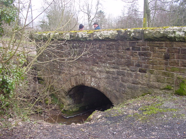
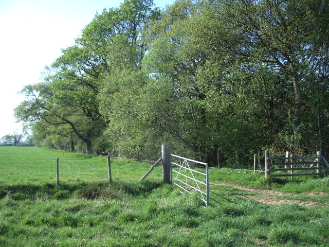
Trails wind their way through the wood, making it an ideal destination for leisurely walks, hikes, and exploration. These paths offer visitors the opportunity to immerse themselves in the peaceful ambiance of the forest, while also providing access to various points of interest within the wood.

One notable feature of Pincherhill Wood is its ancient woodland status, indicating that it has been continuously wooded since at least 1600 AD. This designation recognizes the wood's ecological importance and its historical significance.

The forest is home to an abundance of wildlife, including deer, rabbits, squirrels, and a variety of bird species. Nature enthusiasts may catch a glimpse of these creatures during their visit, making for a memorable experience.

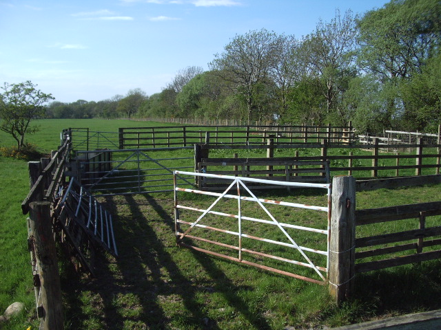
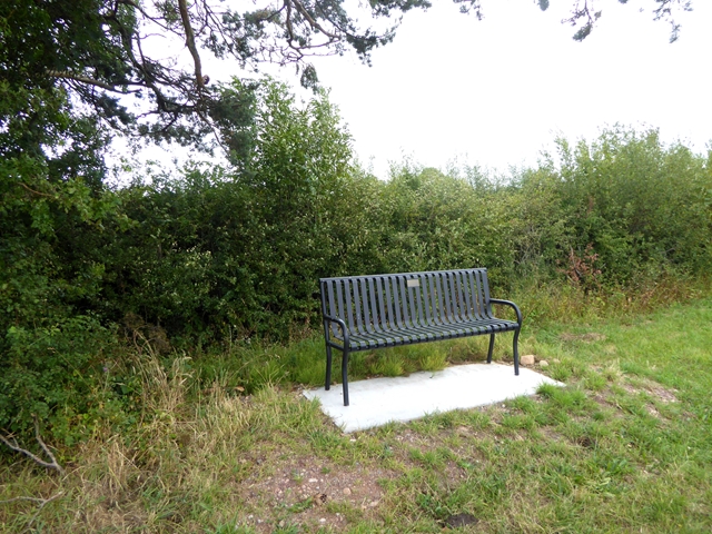
In addition to its natural beauty, Pincherhill Wood also offers recreational facilities such as picnic areas and designated camping spots. These amenities make it an ideal location for day trips, family outings, and even overnight stays.

Overall, Pincherhill Wood is a captivating destination that showcases the beauty of nature and offers a tranquil escape from the hustle and bustle of everyday life.

If you have any feedback on the listing, please let us know in the comments section below.

Pincherhill Wood Images

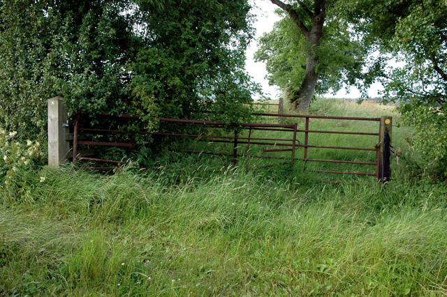
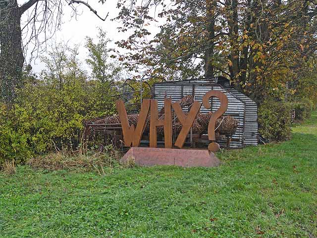
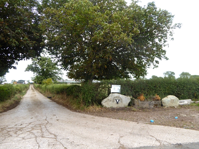
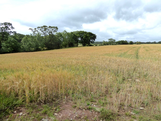
Images are sourced within 2km of 54.757323/-2.9271378 or Grid Reference NY4040. Thanks to Geograph Open Source API. All images are credited.

The lane leading out of Sowerby Row
Roe Beck at Roebanks Bridge Looking downstream. Roe Beck becomes the River Roe, and flows into the River Caldew in square <a href="https://www.geograph.org.uk/gridref/NY3847">NY3847</a>. The Caldew, in turn, flows into the River Eden in the centre of Carlisle <a href="https://www.geograph.org.uk/gridref/NY3956">NY3956</a>, eventually reaching the sea in the Solway Firth.
Roe Beck at Roebanks Bridge
Looking downstream. Roe Beck becomes the River Roe, and flows into the River Caldew in square NY3847. The Caldew, in turn, flows into the River Eden in the centre of Carlisle NY3956, eventually reaching the sea in the Solway Firth.
Ditching An important part of the infrastructure of farmland. If the council won't do it, it's down to the farmer, as here.
Ditching
An important part of the infrastructure of farmland. If the council won't do it, it's down to the farmer, as here.
Bridge at Sowerby Row The road crosses the tiny Oaker Gill.
Bridge at Sowerby Row
The road crosses the tiny Oaker Gill.
Cockley Beck
Cockley Beck
Roebanks Bridge Over Roe Beck, a substantial stream
Roebanks Bridge
Over Roe Beck, a substantial stream
Gate Gate leading into the field on the southwest side of Sillerea Wood
Gate
Gate leading into the field on the southwest side of Sillerea Wood
sheepfold Found on the southwest side of the road, southeast of Sillerea Wood
sheepfold
Found on the southwest side of the road, southeast of Sillerea Wood
Small timber footbridge crosses tributary to Roe Beck This bridge, probably made from railway slepers, takes a footpath across a small stream.
The stream runs NW from Middlesceugh direction to join Roe Beck about 350 metres downsteream within this grid square.
Small timber footbridge crosses tributary to Roe Beck
This bridge, probably made from railway slepers, takes a footpath across a small stream. The stream runs NW from Middlesceugh direction to join Roe Beck about 350 metres downsteream within this grid square.
Y-junction of bridleway and footpath The bridleway goes off on the right of the picture, running NNW towards Thistlewood. The yellow arrow sign is visible.
The footpath that crosses the square diagonally to the NW goes off to the left of the picture. The small sign is visible near the top of the grey coloured post.
Y-junction of bridleway and footpath
The bridleway goes off on the right of the picture, running NNW towards Thistlewood. The yellow arrow sign is visible. The footpath that crosses the square diagonally to the NW goes off to the left of the picture. The small sign is visible near the top of the grey coloured post.
Roadside storage, Sowerby Row The large sign "Why?" and a recumbent wicker man, pensioned off from a pop festival elsewhere in the county, are stored beside National Cycle Network route 7 in the countryside south of Carlisle.
Roadside storage, Sowerby Row
The large sign "Why?" and a recumbent wicker man, pensioned off from a pop festival elsewhere in the county, are stored beside National Cycle Network route 7 in the countryside south of Carlisle.
Hedge and farm track near Roe Foot Farm Cockley Beck runs in the slight dip in the ground in the middle distance.
Hedge and farm track near Roe Foot Farm
Cockley Beck runs in the slight dip in the ground in the middle distance.
Driveway to Ratten Castle Farm With a small installation by the entrance.
Driveway to Ratten Castle Farm
With a small installation by the entrance.
Field of barley Near Cockleygill Bridge. Cockley Gill runs in the trees to the left.
Field of barley
Near Cockleygill Bridge. Cockley Gill runs in the trees to the left.
Field near Cockleygill Bridge Cockley Beck runs in the trees to the right.
Field near Cockleygill Bridge
Cockley Beck runs in the trees to the right.
Roadside seat Commemorating Sowerby Row Sports, 2012.
Roadside seat
Commemorating Sowerby Row Sports, 2012.
Oaker Lodge Farm
Oaker Lodge Farm
Driveway to Oakergill
Show me another place!

Pincherhill Wood is located at Grid Ref: NY4040 (Lat: 54.757323, Lng: -2.9271378)

Administrative County: Cumbria

District: Eden

Police Authority: Cumbria

What 3 Words

///uptake.gradually.husband. Near Dalston, Cumbria

Related Wikis

Middlesceugh

Middlesceugh is a hamlet in the civil parish of Skelton, in the Eden district, in the county of Cumbria, England. Middlesceugh has a SSSI called Middlesceugh...

Castle Sowerby

Castle Sowerby is a civil parish in the Eden District of Cumbria, England. In 2001 it had a population of 337, increasing to 344 at the 2011 Census, and...

High Head Castle

High Head Castle is a large fortified manor house in the English county of Cumbria. It is located between Carlisle and Penrith. The house is now largely...

Ivegill

Ivegill is a small village in Cumbria, England. The village has one place of worship and a school. It is located on an unclassified road near Southwaite...

Nearby Amenities

Located within 500m of 54.757323,-2.9271378
Red Wood
Natural: wood
Lat/Long: 54.754869/-2.9213041
Power: pole
Lat/Long: 54.7585731/-2.9263051
Power: pole
Lat/Long: 54.7593779/-2.9263696
Power: pole
Lat/Long: 54.7602199/-2.9264117
Power: pole
Lat/Long: 54.7610278/-2.9264566
The data included in this document is from www.openstreetmap.org. The data is made available under ODbL.

Have you been to Pincherhill Wood?

Leave your review of Pincherhill Wood below (or comments, questions and feedback).