Red Wood

Wood, Forest in Cumberland Eden

England

Red Wood

The lane leading out of Sowerby Row
The lane leading out of Sowerby Row Credit: David Purchase

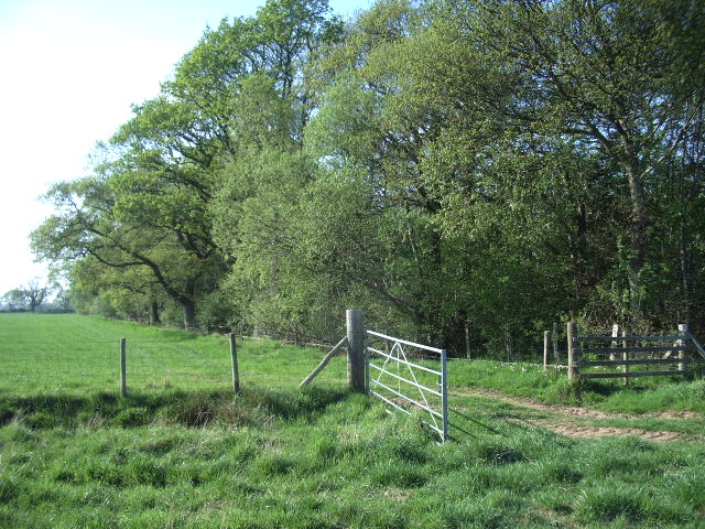
Red Wood, Cumberland, also known as Redwood Forest, is a magnificent natural wonder located in Cumberland, a county in northwest England. Spanning over 2,000 acres, this enchanting woodland is renowned for its breathtaking beauty and rich biodiversity.

The forest gets its name from the towering redwood trees that dominate the landscape. These majestic giants, native to North America, were introduced to the area in the mid-19th century and have thrived in the damp climate of Cumberland. The redwoods stand proudly, reaching heights of up to 200 feet, with their distinctive reddish-brown bark adding a striking visual element to the forest.

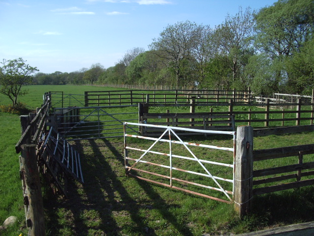
Stepping into Red Wood, visitors are transported to a tranquil haven of nature. The forest is crisscrossed by a network of well-maintained trails, allowing hikers and nature enthusiasts to explore its wonders. As they wander through the dense foliage, visitors will encounter a diverse array of flora and fauna. From carpets of wildflowers in the spring to the vibrant hues of autumn leaves, the forest offers a kaleidoscope of colors throughout the year. Wildlife such as deer, foxes, and a variety of bird species can also be spotted amidst the trees.

Red Wood is not only a haven for nature lovers but also holds historical significance. The forest has witnessed human habitation for centuries, with evidence of ancient settlements and burial mounds scattered throughout the area. This adds an element of intrigue and mystery to the already captivating landscape.

Overall, Red Wood, Cumberland, is a captivating destination that appeals to both nature enthusiasts and history buffs alike. Its towering redwood trees, diverse flora and fauna, and rich history make it a must-visit location for anyone seeking an immersive natural experience.

If you have any feedback on the listing, please let us know in the comments section below.
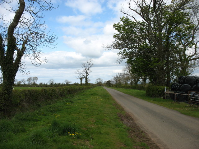
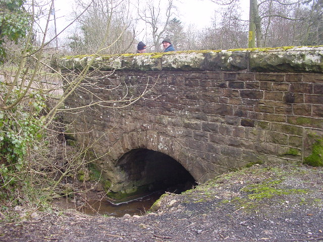
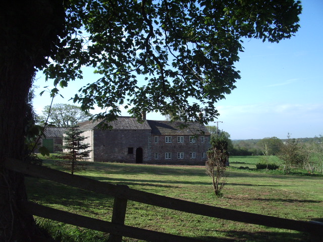
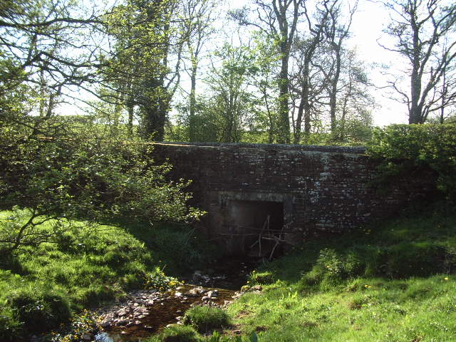
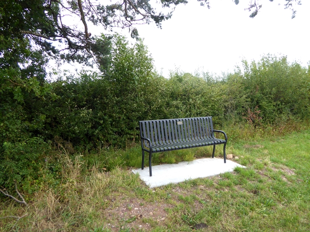
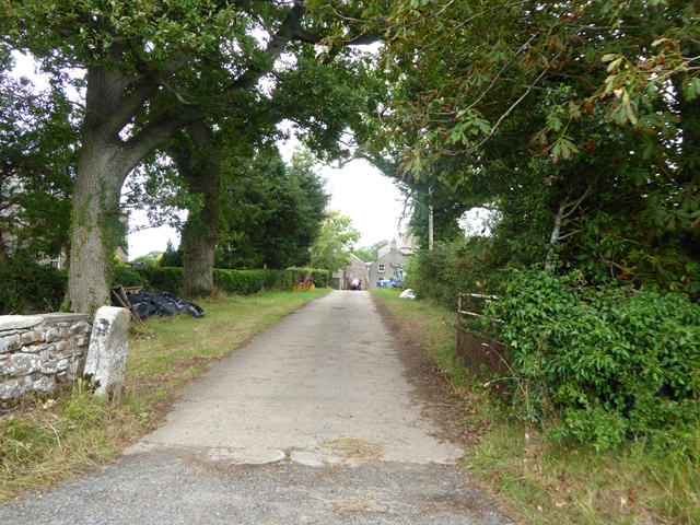
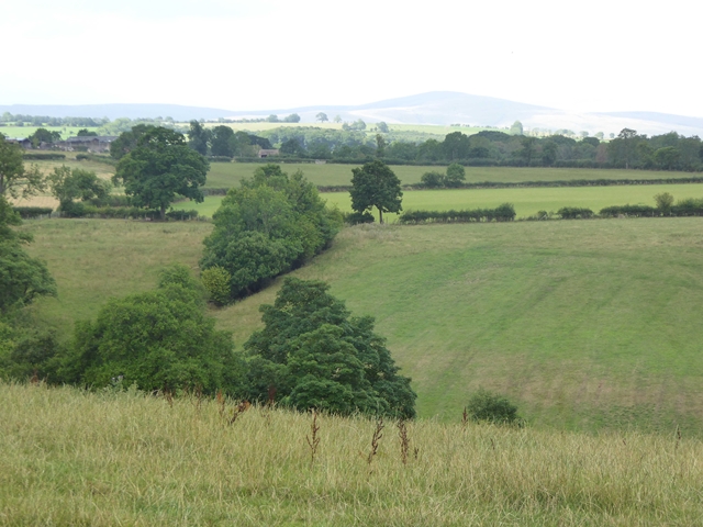
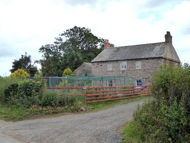
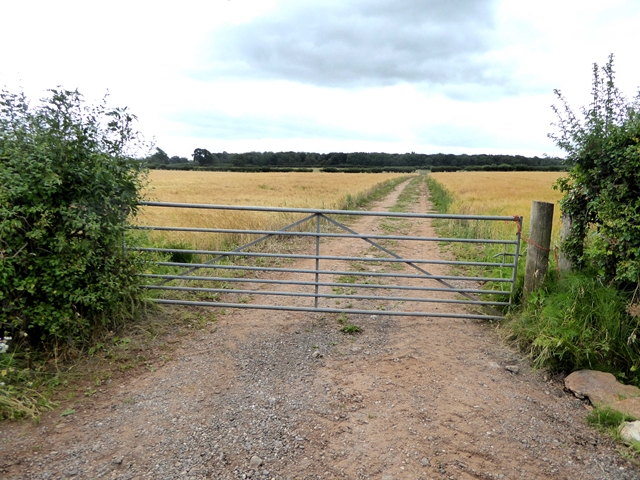
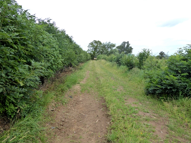
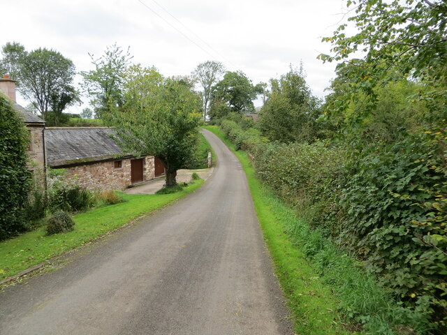
Red Wood Images

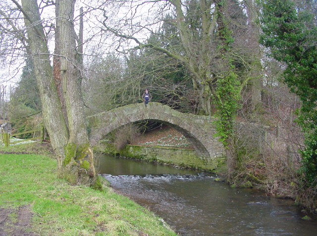
Images are sourced within 2km of 54.754827/-2.9209897 or Grid Reference NY4040. Thanks to Geograph Open Source API. All images are credited.

The lane leading out of Sowerby Row
Ditching An important part of the infrastructure of farmland. If the council won't do it, it's down to the farmer, as here.
Ditching
An important part of the infrastructure of farmland. If the council won't do it, it's down to the farmer, as here.
Bridge at Sowerby Row The road crosses the tiny Oaker Gill.
Bridge at Sowerby Row
The road crosses the tiny Oaker Gill.
Rushgill House
Rushgill House
Skelton Woodend Bridge Skelton Wood Bridge spans Roe Beck
Skelton Woodend Bridge
Skelton Wood Bridge spans Roe Beck
Gate Gate leading into the field on the southwest side of Sillerea Wood
Gate
Gate leading into the field on the southwest side of Sillerea Wood
sheepfold Found on the southwest side of the road, southeast of Sillerea Wood
sheepfold
Found on the southwest side of the road, southeast of Sillerea Wood
Roadside storage, Sowerby Row The large sign "Why?" and a recumbent wicker man, pensioned off from a pop festival elsewhere in the county, are stored beside National Cycle Network route 7 in the countryside south of Carlisle.
Roadside storage, Sowerby Row
The large sign "Why?" and a recumbent wicker man, pensioned off from a pop festival elsewhere in the county, are stored beside National Cycle Network route 7 in the countryside south of Carlisle.
Driveway to Ratten Castle Farm With a small installation by the entrance.
Driveway to Ratten Castle Farm
With a small installation by the entrance.
Roadside seat Commemorating Sowerby Row Sports, 2012.
Roadside seat
Commemorating Sowerby Row Sports, 2012.
Oaker Lodge Farm
Oaker Lodge Farm
Driveway to Oakergill
Cumbrian landscape Roe Beck runs in the deep valley in the foreground. The hill on the horizon is Hewer Hill <a href="https://www.geograph.org.uk/gridref/NY3738">NY3738</a>.
Cumbrian landscape
Roe Beck runs in the deep valley in the foreground. The hill on the horizon is Hewer Hill NY3738.
Roebanks Isolated house. Note fruit cages in front garden.
Roebanks
Isolated house. Note fruit cages in front garden.
Farm track and field of barley near Roebanks.
Green lane near Intack House, Middlesceugh Status bridleway.
Green lane near Intack House, Middlesceugh
Status bridleway.
Minor road and bridge crossing Oaker Gill Looking north-westward from Oaker Bank
Minor road and bridge crossing Oaker Gill
Looking north-westward from Oaker Bank
Ordnance Survey Cut Mark with Rivet The rivet and mark can be found on Oakergill Bridge.
This benchmark has a recorded height of 162.333 metres above sea level.
For more detail see : <span class="nowrap"><a title="https://www.bench-marks.org.uk/bm138552" rel="nofollow ugc noopener" href="https://www.bench-marks.org.uk/bm138552">Link</a><img style="margin-left:2px;" alt="External link" title="External link - shift click to open in new window" src="https://s1.geograph.org.uk/img/external.png" width="10" height="10"/></span>
Ordnance Survey Cut Mark with Rivet
The rivet and mark can be found on Oakergill Bridge. This benchmark has a recorded height of 162.333 metres above sea level. For more detail see : LinkExternal link
Show me another place!

Red Wood is located at Grid Ref: NY4040 (Lat: 54.754827, Lng: -2.9209897)

Administrative County: Cumbria

District: Eden

Police Authority: Cumbria

What 3 Words

///tinny.online.obvious. Near Dalston, Cumbria

Related Wikis

Middlesceugh

Middlesceugh is a hamlet in the civil parish of Skelton, in the Eden district, in the county of Cumbria, England. Middlesceugh has a SSSI called Middlesceugh...

Castle Sowerby

Castle Sowerby is a civil parish in the Eden District of Cumbria, England. In 2001 it had a population of 337, increasing to 344 at the 2011 Census, and...

Ivegill

Ivegill is a small village in Cumbria, England. The village has one place of worship and a school. It is located on an unclassified road near Southwaite...

High Head Castle

High Head Castle is a large fortified manor house in the English county of Cumbria. It is located between Carlisle and Penrith. The house is now largely...

Nearby Amenities

Located within 500m of 54.754827,-2.9209897
Red Wood
Natural: wood
Lat/Long: 54.754869/-2.9213041
Sillerea Wood
Natural: wood
Lat/Long: 54.7509559/-2.9182141
The data included in this document is from www.openstreetmap.org. The data is made available under ODbL.

Have you been to Red Wood?

Leave your review of Red Wood below (or comments, questions and feedback).