Caroline Coppice

Wood, Forest in Herefordshire

England

Caroline Coppice

Byford church Byford church is dedicated to St John the Baptist.
Byford church Credit: Philip Halling

Caroline Coppice is a picturesque woodland located in Herefordshire, England. This enchanting forest is a cherished natural gem that attracts visitors from near and far. Stretching across a vast area, Caroline Coppice is a haven for nature enthusiasts and outdoor adventurers.

The woodland boasts an impressive variety of tree species, including oak, beech, ash, and birch. These majestic trees provide a stunning canopy that filters the sunlight, creating a serene and peaceful atmosphere. The forest floor is covered in a lush carpet of moss, wildflowers, and ferns, adding to the magical ambiance.

Caroline Coppice is not only visually captivating but also teeming with wildlife. It is home to a diverse range of animal species, including deer, foxes, badgers, and a plethora of birdlife. Birdwatchers will delight in spotting species like woodpeckers, owls, and various songbirds that call this woodland their home.

The forest offers a network of well-maintained trails, allowing visitors to explore its beauty at their own leisure. Hiking through Caroline Coppice provides an opportunity to immerse oneself in nature, breathe in the fresh air, and appreciate the tranquility that this ancient woodland exudes.

Additionally, the woodland is a popular spot for recreational activities such as picnicking, photography, and nature walks. It offers a retreat from the hustle and bustle of everyday life, allowing individuals to reconnect with nature and find solace in its beauty.

Caroline Coppice is truly a hidden gem in Herefordshire, offering a serene escape into the heart of nature. Its breathtaking scenery, diverse wildlife, and peaceful ambiance make it a must-visit destination for nature lovers and outdoor enthusiasts alike.

If you have any feedback on the listing, please let us know in the comments section below.

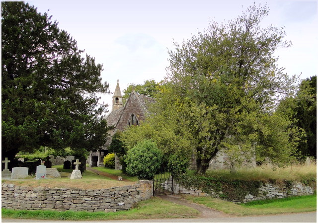
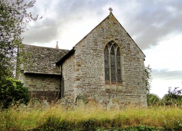
Caroline Coppice Images

Images are sourced within 2km of 52.090313/-2.8650953 or Grid Reference SO4043. Thanks to Geograph Open Source API. All images are credited.

Byford church Byford church is dedicated to St John the Baptist.
Byford church
Byford church is dedicated to St John the Baptist.
Garnons, Mansell Gamage Garnons is a large country house in parkland situated below the wooded Garnon Hill to the north Byford. Pevsner states that the house was built c.1860 as an addition to an earlier house.
Garnons, Mansell Gamage
Garnons is a large country house in parkland situated below the wooded Garnon Hill to the north Byford. Pevsner states that the house was built c.1860 as an addition to an earlier house.
Cottage in Mansell Gamage
Farm at Byford The concrete structure on the left is possibly a silage clamp. The footpath signpost indicates the route of the Wye Valley Walk.
Farm at Byford
The concrete structure on the left is possibly a silage clamp. The footpath signpost indicates the route of the Wye Valley Walk.
The A438 at Byford Here the Hereford to Brecon road passes to the south of parkland at Garnons.
The A438 at Byford
Here the Hereford to Brecon road passes to the south of parkland at Garnons.
Byford Church St John the Baptist church, Byford.
Byford Church
St John the Baptist church, Byford.
View from Mansell Lodge One of the two lodges on the Garnons estate.
View from Mansell Lodge
One of the two lodges on the Garnons estate.
St John Baptist, Byford By Byford Court, its neighbour for the past 500 years or more.
St John Baptist, Byford
By Byford Court, its neighbour for the past 500 years or more.
Byford Court Across the lane from the church.
Byford Court
Across the lane from the church.
The interior of Byford Church The nave of St John the Baptist's church, Byford.
The interior of Byford Church
The nave of St John the Baptist's church, Byford.
Interior of Byford Church Arches in the nave of St John the Baptist's church, Byford.
Interior of Byford Church
Arches in the nave of St John the Baptist's church, Byford.
Wall painting, Byford Church In the south transept of Byford church is a 14th century wall painting of St Margaret.
Wall painting, Byford Church
In the south transept of Byford church is a 14th century wall painting of St Margaret.
Parkland at the Garnons Trees in autumn colours in parkland at the Garnons.
Parkland at the Garnons
Trees in autumn colours in parkland at the Garnons.
Bridleway passing Garnons Hill Not a great picture due to the sun having already set behind Garnons Hill on this January afternoon.  The bridleway pictured here passes to the north-eastern side of Garnons Hill and emerges onto the B4230 at Mansell Gamage.  This bridleway is the route of the Three River Ride, a route for horseriders.
Bridleway passing Garnons Hill
Not a great picture due to the sun having already set behind Garnons Hill on this January afternoon. The bridleway pictured here passes to the north-eastern side of Garnons Hill and emerges onto the B4230 at Mansell Gamage. This bridleway is the route of the Three River Ride, a route for horseriders.
Bridge Sollers Bridge According to a plaque on this bridge, the first bridge here was opened in 1896. The present bridge, the second on this site, was opened on 31 March 2004 by Bill Wiggin MP.
Bridge Sollers Bridge
According to a plaque on this bridge, the first bridge here was opened in 1896. The present bridge, the second on this site, was opened on 31 March 2004 by Bill Wiggin MP.
Bridge Sollers Bridge This modern bridge, replacing one dating from 1896, was opened in 2004.
Bridge Sollers Bridge
This modern bridge, replacing one dating from 1896, was opened in 2004.
St Lawrence, Bishopstone The parish cat stalks the church path, having seen off the last visitor of the day to this highly unusual building.
St Lawrence, Bishopstone
The parish cat stalks the church path, having seen off the last visitor of the day to this highly unusual building.
St Lawrence, Bishopstone The East end, showing the typical 13th century 'Herefordshire' window.
St Lawrence, Bishopstone
The East end, showing the typical 13th century 'Herefordshire' window.
Show me another place!

Caroline Coppice is located at Grid Ref: SO4043 (Lat: 52.090313, Lng: -2.8650953)

Unitary Authority: County of Herefordshire

Police Authority: West Mercia

What 3 Words

///constants.means.slowly. Near Bridge Sollers, Herefordshire

Related Wikis

Bishopstone, Herefordshire

Bishopstone is a village and civil parish in Herefordshire, England, 10 km (6.2 mi) west of Hereford, near the River Wye and the Roman town of Magnis....

Westmoor Flag railway station

Westmoor Flag railway station was a private station to the west of Mansel Lacy, Herefordshire, England. The station was opened in 1863 and may have closed...

Mansell Gamage

Mansell Gamage is a village and civil parish in Herefordshire, England. It is on the B4230 road and is near the A438 road. == References ==

Byford

Byford is a village and civil parish on the River Wye in Herefordshire, England, about 11 km (7 mi) west of Hereford. According to the 2001 census, it...

Bridge Sollers

Bridge Sollers is a village and civil parish in Herefordshire, England, 10 km (6.2 mi) west of Hereford, on the River Wye. The village consists of 12 households...

Mansel Lacy

Mansel Lacy (alternatively spelled Mansell Lacy) is a small village and civil parish in Herefordshire, England. It is 7 miles (11 km) north west of Hereford...

Yazor

Yazor is a small village and civil parish in Herefordshire, England. The village is on the A480 road, approximately 8 miles (13 km) north-west of the city...

St Mary the Virgin's Church, Yazor

St Mary the Virgin's Church is a redundant Anglican church in the village of Yazor, Herefordshire, England. It is recorded in the National Heritage List...

Nearby Amenities

Located within 500m of 52.090313,-2.8650953
Power: pole
Lat/Long: 52.089425/-2.8584516
Power: pole
Lat/Long: 52.091073/-2.8608924
Power: pole
Lat/Long: 52.0931955/-2.8640574
Power: pole
Lat/Long: 52.0942864/-2.8656453
Material: wood
Power: pole
Lat/Long: 52.0921145/-2.8624521
Material: wood
Power: pole
Lat/Long: 52.0903273/-2.8597873
The data included in this document is from www.openstreetmap.org. The data is made available under ODbL.

Have you been to Caroline Coppice?

Leave your review of Caroline Coppice below (or comments, questions and feedback).