Paddock Wood

Wood, Forest in Lancashire South Lakeland

England

Paddock Wood

Gummer’s How Summit
Gummer’s How Summit Credit: Anthony Foster

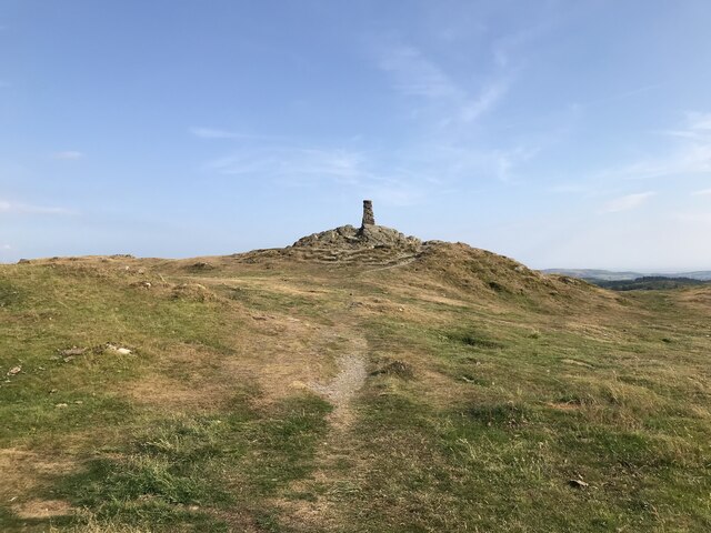
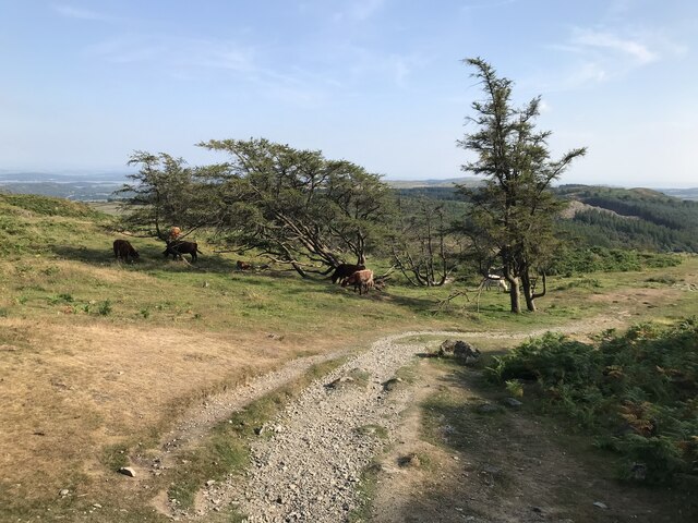
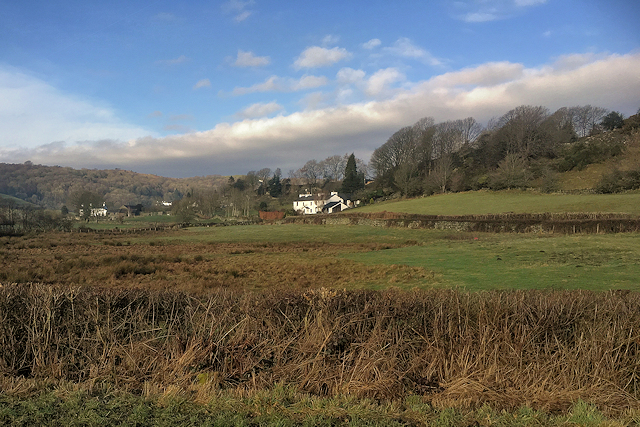
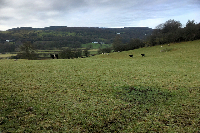
Paddock Wood is a small village located in the county of Lancashire, England. Situated in the Forest of Bowland, it is known for its picturesque surroundings and abundant woodlands. The village is nestled within a rural landscape, surrounded by rolling hills, meandering streams, and dense forests, making it an ideal destination for nature lovers and outdoor enthusiasts.

The name "Paddock Wood" derives from the Old English words "pæþ" meaning path, and "wudu" meaning wood, indicating its historical association with wooded areas and pathways. The village has a rich history, with evidence of human settlement dating back to the Neolithic period. Over the years, it has evolved into a close-knit community, preserving its traditional charm and character.

Paddock Wood boasts a range of amenities and facilities to cater to its residents and visitors. It has a local primary school, a village hall, and a small selection of shops and businesses. The village also hosts various community events throughout the year, bringing people together and fostering a strong sense of community spirit.

For those who enjoy outdoor activities, Paddock Wood offers numerous opportunities. The surrounding woodlands provide ample space for hiking, cycling, and wildlife spotting. Additionally, the village is located near several designated Areas of Outstanding Natural Beauty, including the Forest of Bowland, providing further options for exploration and enjoyment of the natural environment.

In conclusion, Paddock Wood is a charming village nestled in the woodlands of Lancashire. With its scenic surroundings, rich history, and strong community spirit, it offers a tranquil retreat for those seeking a peaceful countryside experience.

If you have any feedback on the listing, please let us know in the comments section below.
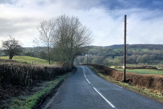
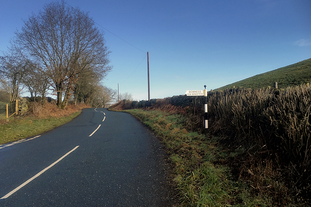
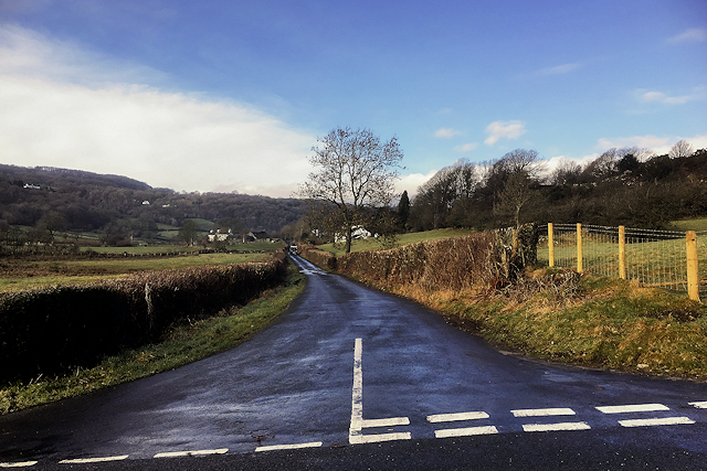
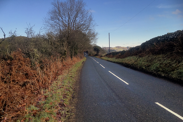
Paddock Wood Images

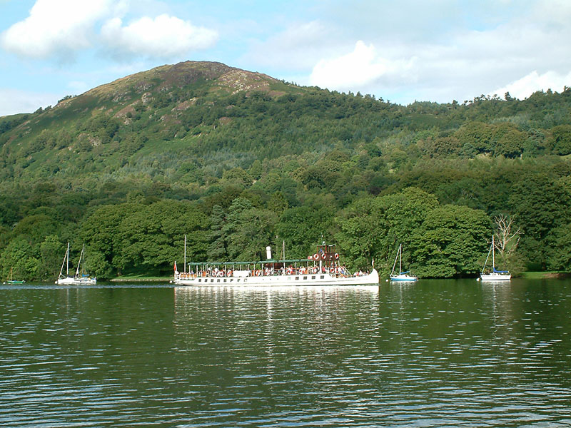
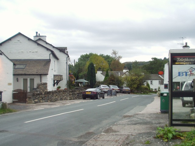
Images are sourced within 2km of 54.302501/-2.9208344 or Grid Reference SD4090. Thanks to Geograph Open Source API. All images are credited.

Gummer’s How Summit
Gummer’s How Summit
Gummer’s How Trig Point
Luing cattle sheltering below Gummer’s How
Luing cattle on Gummer's How
Milestone, near Gummer's How High above the road on the NW bank.

Inscription: K / 9

Milestone Society National ID: LA_KNKF09
Milestone, near Gummer's How
High above the road on the NW bank. Inscription: K / 9 Milestone Society National ID: LA_KNKF09
Wind-shaped trees on Gummer's How Just north of the summit.

I erroneously identified them as larch at the time.  They are not, but I don't know what they are
Wind-shaped trees on Gummer's How
Just north of the summit. I erroneously identified them as larch at the time. They are not, but I don't know what they are
Whinny Knott
Whinny Knott
View towards Haycote Farm (Bowland Bridge)
Smithy Lane, Bowland Bridge
Signpost on Smithy Lane
Minor Road towards Winster
Smithy Lane near Bowland Bridge
Farmland West of Smithy Lane (Bowland Bridge)
Smithy Lane and Bowland Bridge Looking across Smithy Lane with Bowland Bridge on the left.  The county boundary follows the River Winster under the bridge, which has a name stone and two boundary stones.
Smithy Lane and Bowland Bridge
Looking across Smithy Lane with Bowland Bridge on the left. The county boundary follows the River Winster under the bridge, which has a name stone and two boundary stones.
Bowland Bridge name stones Bowland Bridge carries its name on the bridge parapet on the north side of the road.  The county boundary follows the River Winster under the bridge and the county boundary stones are on the south parapet opposite.
Bowland Bridge name stones
Bowland Bridge carries its name on the bridge parapet on the north side of the road. The county boundary follows the River Winster under the bridge and the county boundary stones are on the south parapet opposite.
Crosthwaite & Lyth boundary stone on Bowland Bridge There are two county boundary stones on the south parapet of Bowland Bridge, which spans the River Winster.  This stone is on the eastern side of the bridge and carries the inscription 'Crosthwaite & Lyth Westmoreland'.

Milestone Society National ID: WE_CROS01pb
Crosthwaite & Lyth boundary stone on Bowland Bridge
There are two county boundary stones on the south parapet of Bowland Bridge, which spans the River Winster. This stone is on the eastern side of the bridge and carries the inscription 'Crosthwaite & Lyth Westmoreland'. Milestone Society National ID: WE_CROS01pb
Cartmel Fell boundary stone on Bowland Bridge There are two county boundary stones on the south parapet of Bowland Bridge, which spans the River Winster.  This stone is on the western side of the bridge and carries the inscription 'Cartmel Fell Lancashire'.

Milestone Society National ID: LA_CART01pb.
Cartmel Fell boundary stone on Bowland Bridge
There are two county boundary stones on the south parapet of Bowland Bridge, which spans the River Winster. This stone is on the western side of the bridge and carries the inscription 'Cartmel Fell Lancashire'. Milestone Society National ID: LA_CART01pb.
Bowland Bridge and its boundary stones Looking across Bowland Bridge towards its boundary stones, which are set into the south parapet.  The furthest stone is 'Crosthwaite & Lyth Westmoreland' <a href="https://www.geograph.org.uk/photo/5461140">SD4189 : Crosthwaite & Lyth boundary stone on Bowland Bridge</a> and the nearest stone is 'Cartmel Fell Lancashire' <a href="https://www.geograph.org.uk/photo/5461150">SD4189 : Cartmel Fell boundary stone on Bowland Bridge</a>  The county boundary follows the River Winster, which flows under the bridge.
Bowland Bridge and its boundary stones
Looking across Bowland Bridge towards its boundary stones, which are set into the south parapet. The furthest stone is 'Crosthwaite & Lyth Westmoreland' SD4189 : Crosthwaite & Lyth boundary stone on Bowland Bridge and the nearest stone is 'Cartmel Fell Lancashire' SD4189 : Cartmel Fell boundary stone on Bowland Bridge The county boundary follows the River Winster, which flows under the bridge.
Show me another place!

Paddock Wood is located at Grid Ref: SD4090 (Lat: 54.302501, Lng: -2.9208344)

Administrative County: Cumbria

District: South Lakeland

Police Authority: Cumbria

What 3 Words

///grand.helps.balancing. Near Windermere, Cumbria

Related Wikis

Heights Tarn

Heights Tarn is a small lake to the east of Windermere and north of Simpson Ground Reservoir, near Cartmel Fell, in the Lake District of Cumbria, England...

Gummer's How

Gummer's How is a hill in the southern part of the Lake District, on the eastern shore of Windermere, near its southern end. How, derived from the Old...
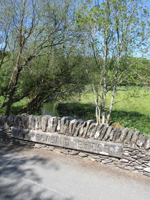
Bowland Bridge

Bowland Bridge is a village in Cumbria, England. == See also == == External links == Media related to Bowland Bridge at Wikimedia Commons

St Anthony's Church, Cartmel Fell

St Anthony's Church, is in the village of Cartmel Fell, Cumbria, England. It is an active Anglican parish church in the deanery of Kendal, the archdeaconry...

Nearby Amenities

Located within 500m of 54.302501,-2.9208344
Ludderburn Park
Place: locality
Lat/Long: 54.3010929/-2.926082
Riding Wood
Natural: wood
Lat/Long: 54.3055331/-2.9256146
Moor How Park Wood
Natural: wood
Lat/Long: 54.3042325/-2.9252728
Great Wood
Natural: wood
Lat/Long: 54.2997288/-2.9170563
Power: pole
Lat/Long: 54.3041103/-2.9137858
The data included in this document is from www.openstreetmap.org. The data is made available under ODbL.

Have you been to Paddock Wood?

Leave your review of Paddock Wood below (or comments, questions and feedback).