Hawke's Hills
Wood, Forest in Somerset Sedgemoor
England
Hawke's Hills

Hawke's Hills is an enchanting woodland area located in Somerset, England. Spanning across a vast expanse of lush greenery, this picturesque forest is a nature lover's paradise. The area is characterized by its rolling hills, towering trees, and diverse wildlife, making it a haven for outdoor enthusiasts and those seeking tranquility.
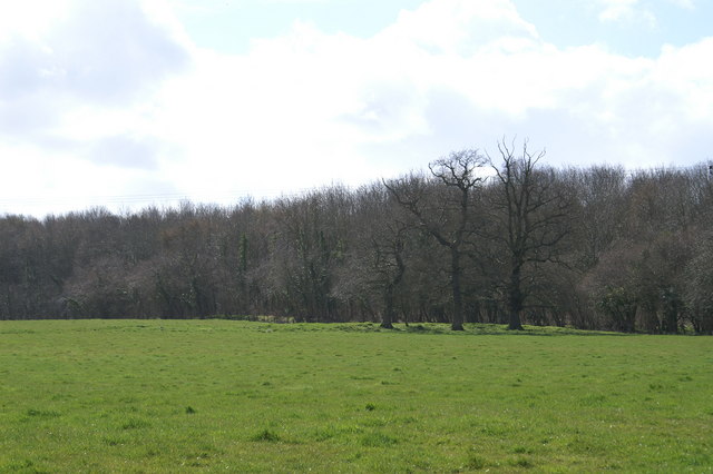
Covering an area of approximately 500 acres, Hawke's Hills offers visitors a chance to immerse themselves in the beauty of nature. The forest is predominantly composed of deciduous trees, including oak, beech, and birch, which create a stunning canopy of colors during the autumn months. Walking trails meander through the woodland, providing ample opportunity for visitors to explore and appreciate the natural surroundings.
Wildlife thrives in Hawke's Hills, with the forest being home to a variety of species. Birdwatchers will be delighted by the presence of numerous bird species, including woodpeckers, owls, and finches. Mammals such as deer, foxes, and badgers can also be spotted, adding to the allure of the area.
For those seeking a peaceful retreat or a break from the hustle and bustle of everyday life, Hawke's Hills offers a sense of serenity. The forest provides an escape from the noise and stresses of modern society, allowing visitors to reconnect with nature and enjoy a moment of calm.
Overall, Hawke's Hills in Somerset is a captivating woodland destination that showcases the beauty and diversity of the English countryside. Its scenic landscapes, abundant wildlife, and tranquil atmosphere make it a must-visit location for nature enthusiasts and anyone looking to rejuvenate their spirits in a natural setting.
If you have any feedback on the listing, please let us know in the comments section below.
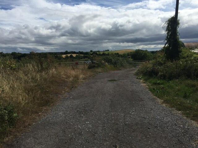
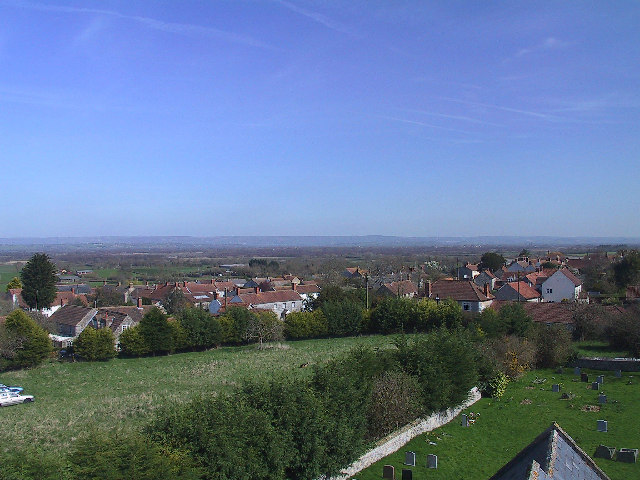
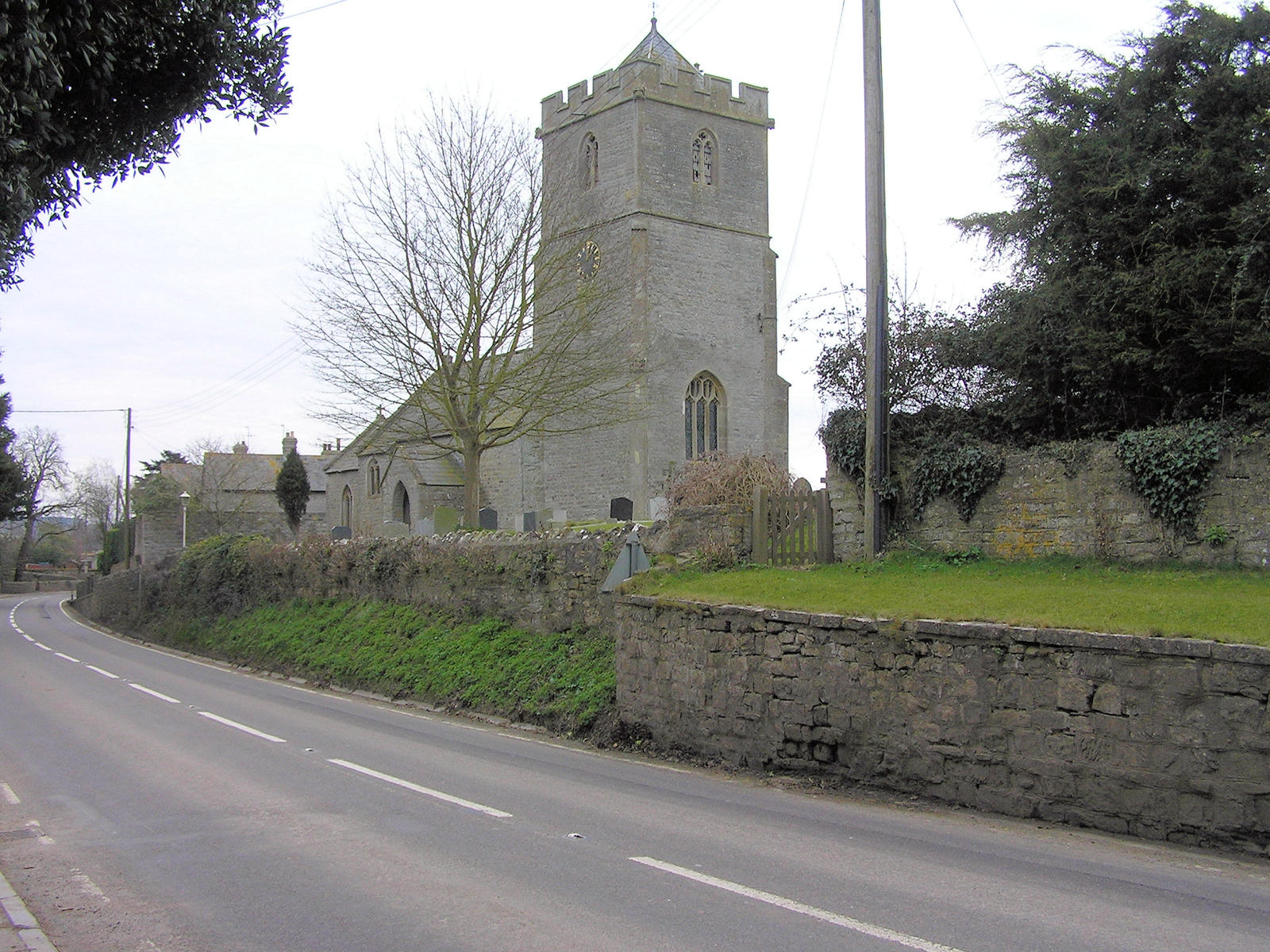
Hawke's Hills Images
Images are sourced within 2km of 51.136374/-2.8567043 or Grid Reference ST4037. Thanks to Geograph Open Source API. All images are credited.


Hawke's Hills is located at Grid Ref: ST4037 (Lat: 51.136374, Lng: -2.8567043)
Administrative County: Somerset
District: Sedgemoor
Police Authority: Avon and Somerset
What 3 Words
///signature.trainers.tactical. Near Westonzoyland, Somerset
Nearby Locations
Related Wikis
Moorlinch
Moorlinch is a village and civil parish where the Polden Hills meet the Somerset Levels in Somerset, England. == History == The village was known as Mirieling...

Catcott
Catcott is a rural village and civil parish, situated close to Edington 7 miles (11.3 km) to the east of Bridgwater on the Somerset Levels to the north...

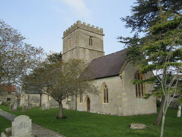
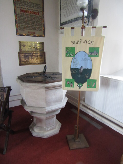
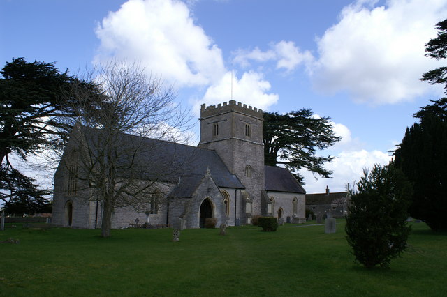
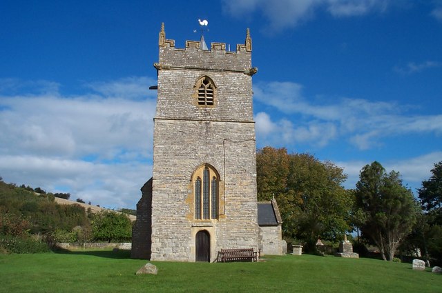
Church of the Blessed Virgin Mary, Shapwick
The Church of the Blessed Virgin Mary in Shapwick within the English county of Somerset was consecrated in 1331. It is a Grade II* listed building. �...
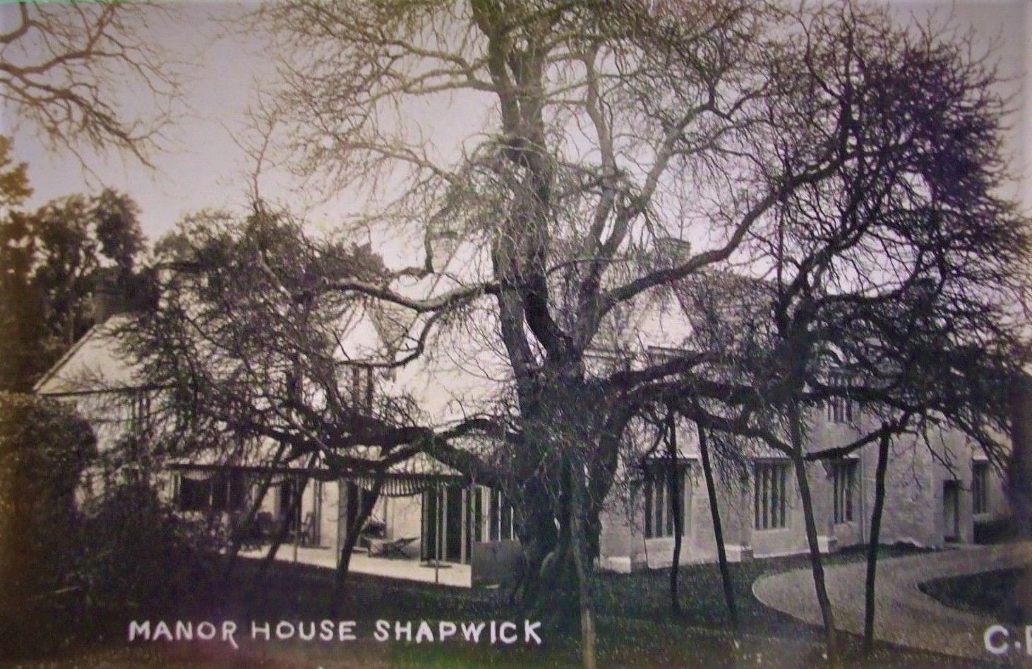
Shapwick Manor
Shapwick Manor at Shapwick in the county of Somerset, England, is a medieval manor house, largely remodelled in the 19th century by Henry Strangways on...

Shapwick School
Shapwick School was a specialist school at Shapwick Manor in Shapwick, a village on the Somerset Levels in Somerset, England. In March 2020, it was announced...
Shapwick, Somerset
Shapwick is a village on the Polden Hills overlooking the Somerset Moors, in Somerset, England. It is situated to the west of Glastonbury. == History... ==
Greinton
Greinton is a village and civil parish in Somerset, England, situated on the Somerset Levels and Moors at the foot of the Polden Hills, 9 kilometres (5...

Polden Hills
The Polden Hills in Somerset, England are a long, low ridge, extending for 10 miles (16 km), and separated from the Mendip Hills, to which they are nearly...
Nearby Amenities
Located within 500m of 51.136374,-2.8567043Have you been to Hawke's Hills?
Leave your review of Hawke's Hills below (or comments, questions and feedback).