Newlands Plantation

Wood, Forest in Somerset Sedgemoor

England

Newlands Plantation

View from Lippetts Way near Catcott A view looking north from Lippetts Way just to the east of Catcott.
The Mendip Hills are just visible in the far distance.
View from Lippetts Way near Catcott Credit: Kevin Pearson

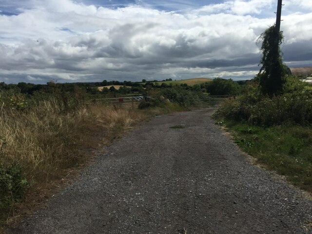
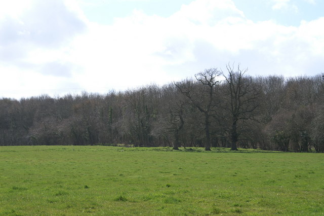
Newlands Plantation is a picturesque woodland located in Somerset, England. Covering an area of approximately 200 acres, it is a popular destination for nature enthusiasts and outdoor enthusiasts alike. The plantation is known for its diverse range of plant and animal species, making it a haven for biodiversity.

The woodland is primarily composed of native trees such as oak, ash, birch, and beech, which create a lush and vibrant canopy. This provides a habitat for a variety of wildlife, including deer, foxes, badgers, and a wide array of bird species. The plantation is also home to several rare and endangered species, making it an important conservation site.

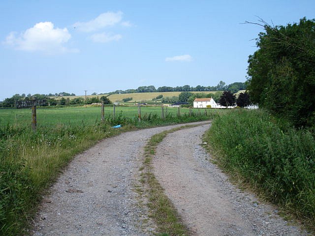
Newlands Plantation offers a range of activities for visitors to enjoy. There are numerous walking trails that wind through the woodland, allowing visitors to explore the plantation at their own pace. These trails vary in difficulty, catering to both casual strollers and experienced hikers. Additionally, the plantation has designated picnic areas, providing a perfect spot for visitors to relax and enjoy the tranquil surroundings.

For those interested in history, Newlands Plantation has a rich heritage. It has been owned and managed by the same family for several generations, with records dating back to the 18th century. The plantation has witnessed significant historical events, including the Industrial Revolution, and remnants of this past can still be seen throughout the woodland.

Overall, Newlands Plantation is a serene and captivating woodland that offers a range of activities for nature enthusiasts and history buffs alike. Its natural beauty and rich biodiversity make it a must-visit destination for anyone seeking to reconnect with nature.

If you have any feedback on the listing, please let us know in the comments section below.

Newlands Plantation Images

Images are sourced within 2km of 51.134729/-2.8554732 or Grid Reference ST4037. Thanks to Geograph Open Source API. All images are credited.

View from Lippetts Way near Catcott A view looking north from Lippetts Way just to the east of Catcott.
The Mendip Hills are just visible in the far distance.
View from Lippetts Way near Catcott
A view looking north from Lippetts Way just to the east of Catcott. The Mendip Hills are just visible in the far distance.
Shapwick - St Mary's Church The central tower of the parish church is on 13th century arches.
Shapwick - St Mary's Church
The central tower of the parish church is on 13th century arches.
Shapwick - Font Font and banner within St Mary, the parish church.
Shapwick - Font
Font and banner within St Mary, the parish church.
Lane junction for Moorlinch on the A361
The A361 heading towards Glastonbury
Old Direction Sign, A361 Base of <a href="https://www.geograph.org.uk/photo/6037435">ST4136 : Old Direction Sign - Signpost by the A361, Taunton Road, Greinton</a> though the finger to Moorlinch has disappeared since 2014.

Inscription: Sheldon Wells

Milestone Society National ID: SO_ST4136
Old Direction Sign, A361
Base of ST4136 : Old Direction Sign - Signpost by the A361, Taunton Road, Greinton though the finger to Moorlinch has disappeared since 2014. Inscription: Sheldon Wells Milestone Society National ID: SO_ST4136
Track and footpath Track and footpath to farmland near the village of Moorlinch.
Track and footpath
Track and footpath to farmland near the village of Moorlinch.
Socombe Hill. The A39 between Bridgwater and Street runs along the ridge of the Polden Hills. The land falls away on both sides of the ridge onto the Somerset levels which are about at sea level. This makes the Polden Hills look more impressive than the height of 98 metres at the top of the hill would suggest. The main road is about 200m to the left of the crest.
Socombe Hill.
The A39 between Bridgwater and Street runs along the ridge of the Polden Hills. The land falls away on both sides of the ridge onto the Somerset levels which are about at sea level. This makes the Polden Hills look more impressive than the height of 98 metres at the top of the hill would suggest. The main road is about 200m to the left of the crest.
St.Michael and All Angels. Greinton. Just above the A361, the access is through the gate to the right of the picture. The local stone is grey lias.
St.Michael and All Angels. Greinton.
Just above the A361, the access is through the gate to the right of the picture. The local stone is grey lias.
Road Junction on the A39 The sign reads Shapwick 1, Westhay 4. The main road is the A39 but as can be seen it is only a single carriageway road.
Road Junction on the A39
The sign reads Shapwick 1, Westhay 4. The main road is the A39 but as can be seen it is only a single carriageway road.
St Peter's Church, Catcott, Somerset. Part 13th Century. Grade 1 Listed Building
War Memorial, Catcott, Somerset
Village of Catcott and part of church yard. From tower of St Peter's Church
Pink house with a stile
The Blessed Virgin Mary Church, Shapwick
Greenway Farm, Greinton To the west of the village, nestling at the foot of the Polden Hills.
Greenway Farm, Greinton
To the west of the village, nestling at the foot of the Polden Hills.
Show me another place!

Newlands Plantation is located at Grid Ref: ST4037 (Lat: 51.134729, Lng: -2.8554732)

Administrative County: Somerset

District: Sedgemoor

Police Authority: Avon and Somerset

What 3 Words

///holdings.pirates.sprayer. Near Westonzoyland, Somerset

Related Wikis

Moorlinch

Moorlinch is a village and civil parish where the Polden Hills meet the Somerset Levels in Somerset, England. == History == The village was known as Mirieling...

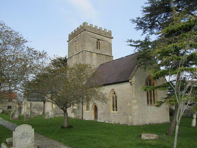
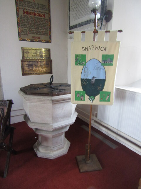
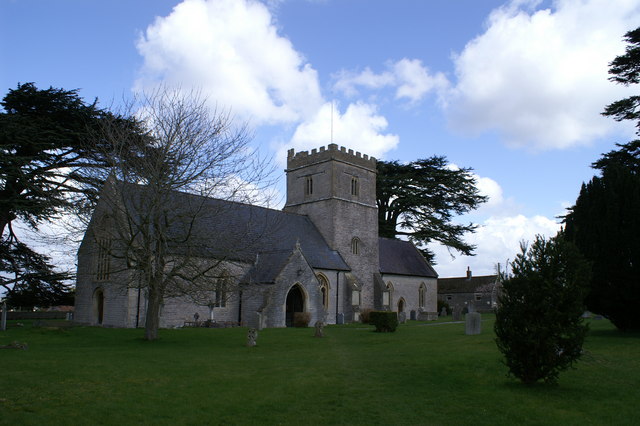
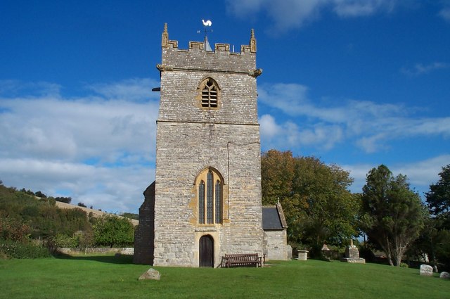
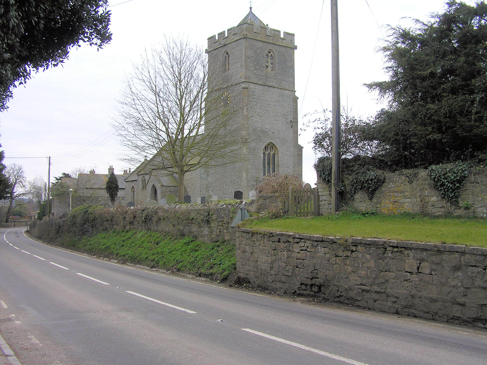
Church of the Blessed Virgin Mary, Shapwick

The Church of the Blessed Virgin Mary in Shapwick within the English county of Somerset was consecrated in 1331. It is a Grade II* listed building. �...

Greinton

Greinton is a village and civil parish in Somerset, England, situated on the Somerset Levels and Moors at the foot of the Polden Hills, 9 kilometres (5...
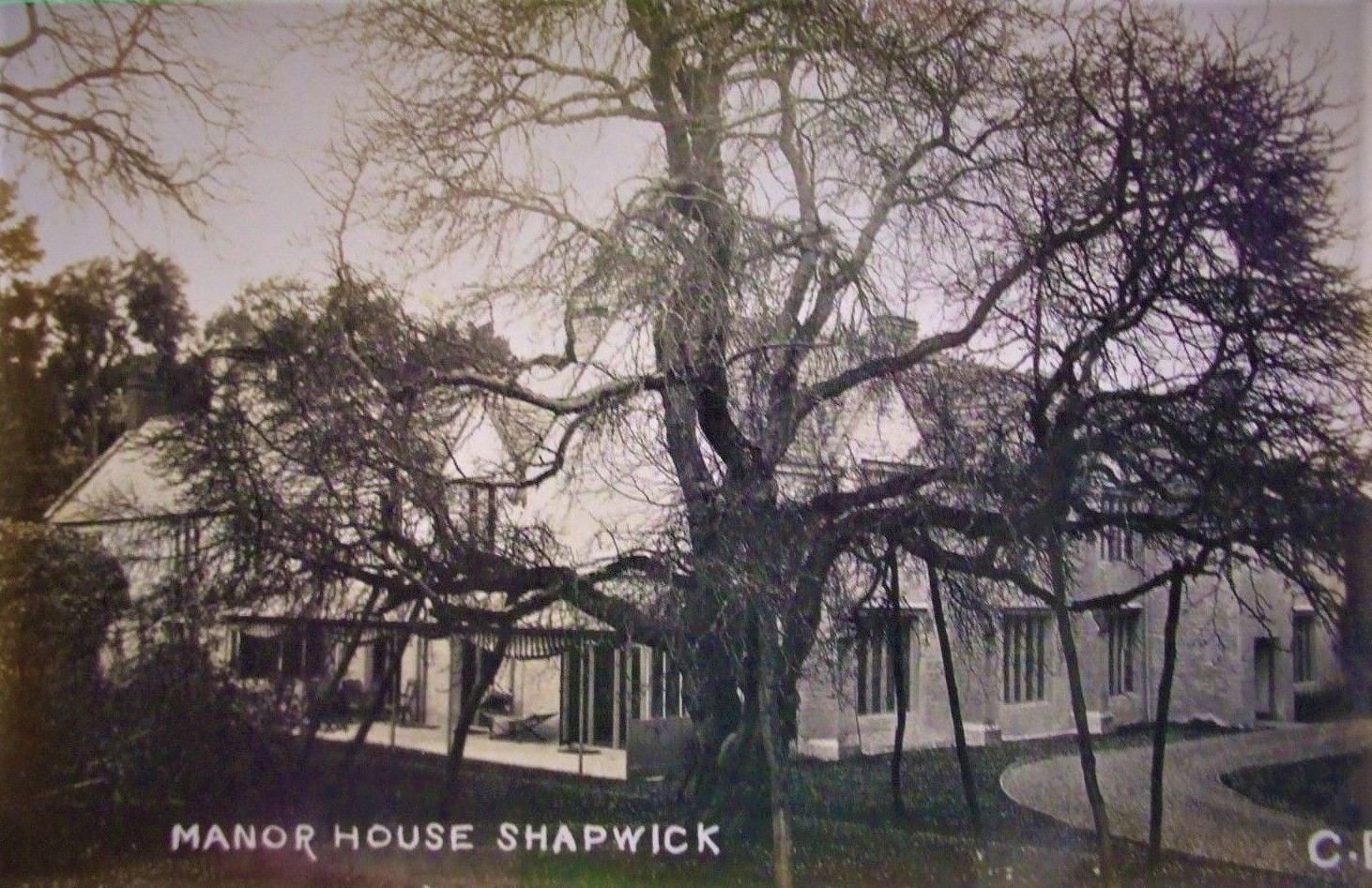
Shapwick Manor

Shapwick Manor at Shapwick in the county of Somerset, England, is a medieval manor house, largely remodelled in the 19th century by Henry Strangways on...

Shapwick School

Shapwick School was a specialist school at Shapwick Manor in Shapwick, a village on the Somerset Levels in Somerset, England. In March 2020, it was announced...

Shapwick, Somerset

Shapwick is a village on the Polden Hills overlooking the Somerset Moors, in Somerset, England. It is situated to the west of Glastonbury. == History... ==

Catcott

Catcott is a rural village and civil parish, situated close to Edington 7 miles (11.3 km) to the east of Bridgwater on the Somerset Levels to the north...

Polden Hills

The Polden Hills in Somerset, England are a long, low ridge, extending for 10 miles (16 km), and separated from the Mendip Hills, to which they are nearly...

Nearby Amenities

Located within 500m of 51.134729,-2.8554732
Knoll Hill
Created By: Potlatch 0.10f
Natural: peak
Lat/Long: 51.1307398/-2.8584375
Give Way
Lat/Long: 51.134604/-2.8532581
Give Way
Lat/Long: 51.1345056/-2.8529979
The data included in this document is from www.openstreetmap.org. The data is made available under ODbL.

Have you been to Newlands Plantation?

Leave your review of Newlands Plantation below (or comments, questions and feedback).