Cock Marling

Settlement in Sussex Rother

England

Cock Marling

Drainage channel
Drainage channel Credit: N Chadwick

Cock Marling is a small village located in the county of Sussex, England. Situated in the South Downs National Park, it is known for its picturesque countryside and serene atmosphere. The village is nestled in a valley, surrounded by rolling hills and meadows, offering breathtaking views to its residents and visitors alike.

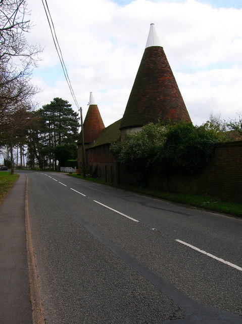
With a population of around 500 people, Cock Marling retains a strong sense of community and charm. The village is characterized by its traditional architecture, with many historic buildings dating back several centuries. The local church, St. Mary's, is a prominent landmark, featuring stunning stained glass windows and intricate stonework.

Despite its small size, Cock Marling boasts a range of amenities for its residents. The village has a primary school, a village hall, and a local pub, which serves as a social hub for the community. There are also several walking and cycling paths that crisscross the surrounding countryside, providing opportunities for outdoor enthusiasts to explore the natural beauty of the area.

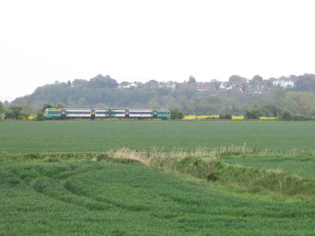
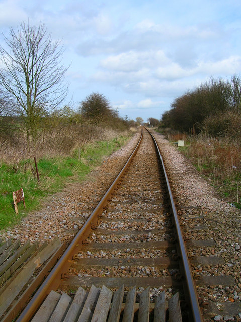
Cock Marling is conveniently located within a short distance of larger towns and cities, such as Brighton and Lewes, providing easy access to a wider range of services and amenities. The village also benefits from good transportation links, with a nearby train station connecting it to the rest of the county.

Overall, Cock Marling offers a peaceful and idyllic setting for those seeking a rural lifestyle, while still being within reach of larger urban areas. Its stunning natural surroundings and strong sense of community make it a desirable place to live or visit in Sussex.

If you have any feedback on the listing, please let us know in the comments section below.
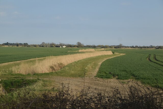
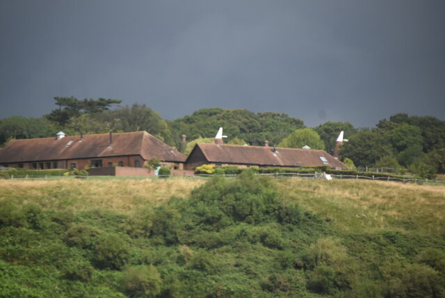
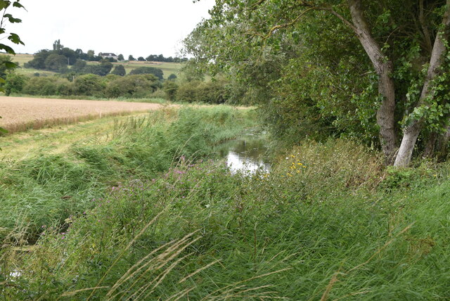
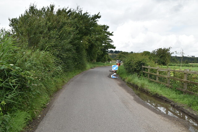
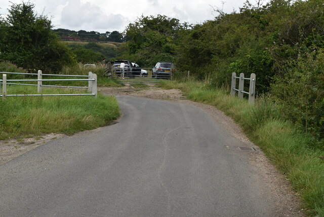
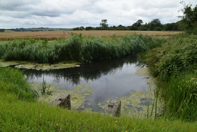
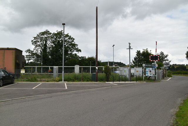
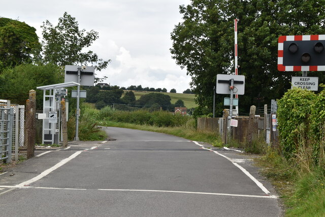
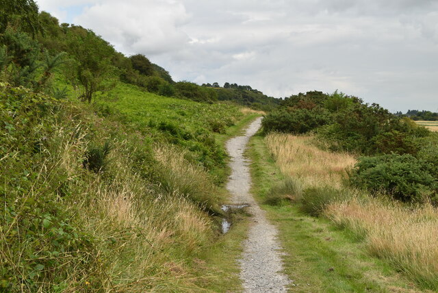
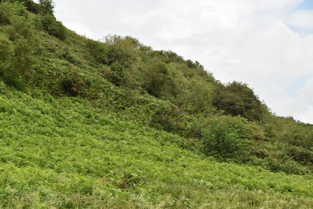
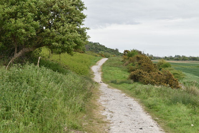
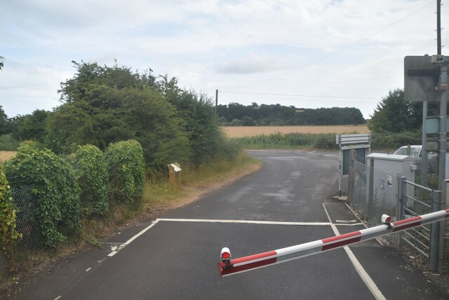
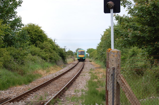
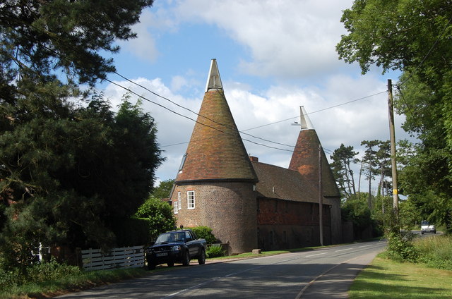
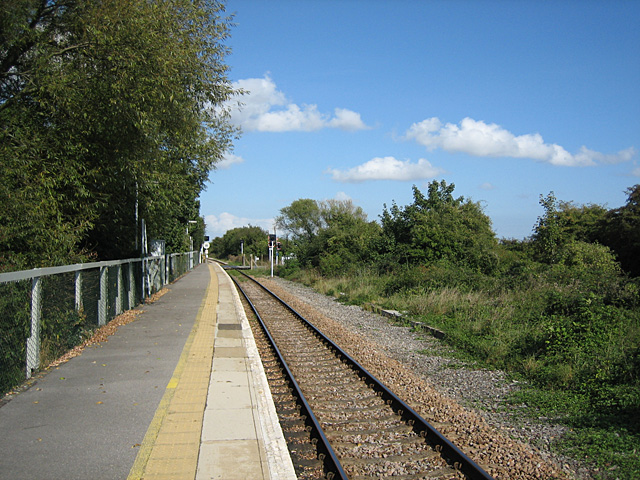
Cock Marling Images

Images are sourced within 2km of 50.93722/0.677814 or Grid Reference TQ8818. Thanks to Geograph Open Source API. All images are credited.

Drainage channel
Drainage channel
Watlands Oast Two round kiln oast house, one to each end of stowage. Once part of Watlands Farm.

Grade II listed.
Watlands Oast
Two round kiln oast house, one to each end of stowage. Once part of Watlands Farm. Grade II listed.
Drain by Station Rd
Drain by Station Rd
Station Rd
Station Rd
Station Rd
Station Rd
Drain by Station Rd
Drain by Station Rd
Winchelsea Station Winchelsea station is about 1 km from Winchelsea and is actually in the neighbouring parish of Udimore. It is on the Marshlink Line 15 km north east of Hastings, and train services are provided by Southern. the station has very limited services. It opened in 1851.
Winchelsea Station
Winchelsea station is about 1 km from Winchelsea and is actually in the neighbouring parish of Udimore. It is on the Marshlink Line 15 km north east of Hastings, and train services are provided by Southern. the station has very limited services. It opened in 1851.
Level crossing, Winchelsea Station
1066 Country Walk 1066 Country Walk is a 31 mile (50 kilometre) walk from Pevensey to Rye. You can follow in the steps of William the Conqueror taking in historical sites on a generally low level walk. The route includes the Normans' landing point at Pevensey, the battle site, and the castles at Pevensey and Herstmonceux.
There are links from the main route between Battle and Bexhill and between Doleham and Hastings. It is waymarked using red circles with a sword.
Website: <span class="nowrap"><a title="http://www.highweald.org/text.asp?PageId=30" rel="nofollow ugc noopener" href="http://www.highweald.org/text.asp?PageId=30">Link</a><img style="margin-left:2px;" alt="External link" title="External link - shift click to open in new window" src="https://s1.geograph.org.uk/img/external.png" width="10" height="10"/></span>
1066 Country Walk
1066 Country Walk is a 31 mile (50 kilometre) walk from Pevensey to Rye. You can follow in the steps of William the Conqueror taking in historical sites on a generally low level walk. The route includes the Normans' landing point at Pevensey, the battle site, and the castles at Pevensey and Herstmonceux. There are links from the main route between Battle and Bexhill and between Doleham and Hastings. It is waymarked using red circles with a sword. Website: LinkExternal link
Cadborough Cliff
Cadborough Cliff
1066 Country Walk 1066 Country Walk is a 31 mile (50 kilometre) walk from Pevensey to Rye. You can follow in the steps of William the Conqueror taking in historical sites on a generally low level walk. The route includes the Normans' landing point at Pevensey, the battle site, and the castles at Pevensey and Herstmonceux.
There are links from the main route between Battle and Bexhill and between Doleham and Hastings. It is waymarked using red circles with a sword.
Website: <span class="nowrap"><a title="http://www.highweald.org/text.asp?PageId=30" rel="nofollow ugc noopener" href="http://www.highweald.org/text.asp?PageId=30">Link</a><img style="margin-left:2px;" alt="External link" title="External link - shift click to open in new window" src="https://s1.geograph.org.uk/img/external.png" width="10" height="10"/></span>
1066 Country Walk
1066 Country Walk is a 31 mile (50 kilometre) walk from Pevensey to Rye. You can follow in the steps of William the Conqueror taking in historical sites on a generally low level walk. The route includes the Normans' landing point at Pevensey, the battle site, and the castles at Pevensey and Herstmonceux. There are links from the main route between Battle and Bexhill and between Doleham and Hastings. It is waymarked using red circles with a sword. Website: LinkExternal link
Station Rd
Station Rd
Fertile land, Winchelsea Winchelsea village is on the hill in the distance, overlooking an extensive fertile plain (reclaimed from marshland), with a train on the single-track line from Ashford to Hastings.
Fertile land, Winchelsea
Winchelsea village is on the hill in the distance, overlooking an extensive fertile plain (reclaimed from marshland), with a train on the single-track line from Ashford to Hastings.
Oasthouses, Watlands On the B2089 Udimore Road opposite Turnpike Wood.
Oasthouses, Watlands
On the B2089 Udimore Road opposite Turnpike Wood.
Hastings to Ashford Line Taken from the level crossing at Winchelsea Station.
Hastings to Ashford Line
Taken from the level crossing at Winchelsea Station.
Flooded Field, Brede Level Taken from Station Road. The line of bushes marks the course of the railway whilst the former sea cliffs, Cadborough Cliff, is in the background. The red buildings are part of the Watlands estate.
Flooded Field, Brede Level
Taken from Station Road. The line of bushes marks the course of the railway whilst the former sea cliffs, Cadborough Cliff, is in the background. The red buildings are part of the Watlands estate.
Train bound for Ashford The line is single track and not electrified.
Train bound for Ashford
The line is single track and not electrified.
Watlands Oasts
Watlands Oasts
Show me another place!

Cock Marling is located at Grid Ref: TQ8818 (Lat: 50.93722, Lng: 0.677814)

Administrative County: East Sussex

District: Rother

Police Authority: Sussex

What 3 Words

///engages.mobile.formless. Near Winchelsea Beach, East Sussex

Related Wikis

Udimore

Udimore is a village and civil parish in the Rother district of East Sussex, England. It is located five miles (8 km) west of Rye on the B2089 road to...

Winchelsea railway station

Winchelsea railway station is a railway station in East Sussex, England. It is about 0.62 miles (1 km) from Winchelsea and is actually in the neighbouring...

Icklesham

Icklesham is a village and civil parish in the Rother district of East Sussex, England. The village is located about six miles (10 km) east of Hastings...

St Leonard's Mill, Winchelsea

St Leonard's mill was a post mill at Winchelsea, East Sussex, England which was blown down in the Great Storm of 1987. == History == St Leonard's Mill...

Blackfriars, Winchelsea

Blackfriars, Winchelsea, was a Dominican priory in Winchelsea, East Sussex, England. The friary was established in 1318 by Edward II on the outskirts of...

Winchelsea

Winchelsea () is a town in the county of East Sussex, England, located between the High Weald and the Romney Marsh, approximately 2 miles (3.2 km) south...

Winchelsea Court Hall

Winchelsea Court Hall, formerly known as the Water Bailiff's Prison, is a municipal building in the High Street in Winchelsea, East Sussex, England. The...

The Armoury, Winchelsea

The Armoury is a Grade II* listed building in Winchelsea, East Sussex England. == History and architecture == The Armoury is a medieval building on Castle...

Nearby Amenities

Located within 500m of 50.93722,0.677814
Power: tower
Lat/Long: 50.9396699/0.6725693
Power: pole
Lat/Long: 50.9355187/0.6727461
Power: pole
Lat/Long: 50.9357352/0.6828124
Power: pole
Lat/Long: 50.9358265/0.677856
Power: pole
Lat/Long: 50.9356426/0.674816
Power: pole
Lat/Long: 50.9356876/0.6799842
Power: pole
Lat/Long: 50.9378461/0.6790986
Power: pole
Lat/Long: 50.935772/0.6769247
Power: pole
Lat/Long: 50.9353159/0.6719597
Power: pole
Lat/Long: 50.9356209/0.6819352
Power: pole
Lat/Long: 50.9355746/0.673673
Power: pole
Lat/Long: 50.9358932/0.68391
Power: pole
Lat/Long: 50.9359027/0.6789276
Power: pole
Lat/Long: 50.9369005/0.6790118
Power: pole
Lat/Long: 50.9357039/0.6758768
Power: pole
Lat/Long: 50.9354792/0.6809176
Pub
The Plough at Cock Marling
Lat/Long: 50.9378611/0.6794787
Cock Marling
Place: hamlet
Lat/Long: 50.9381189/0.6789858
The data included in this document is from www.openstreetmap.org. The data is made available under ODbL.

Have you been to Cock Marling?

Leave your review of Cock Marling below (or comments, questions and feedback).