Workhouse Wood
Wood, Forest in Sussex Rother
England
Workhouse Wood
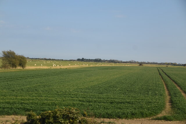
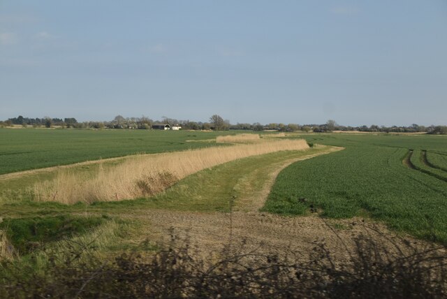
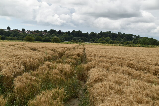
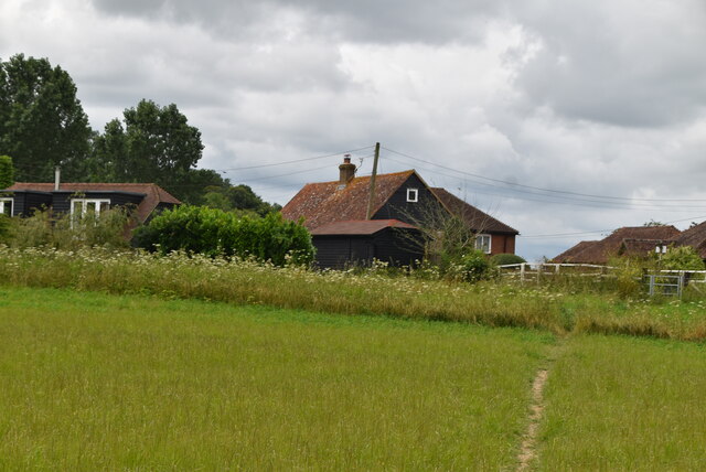
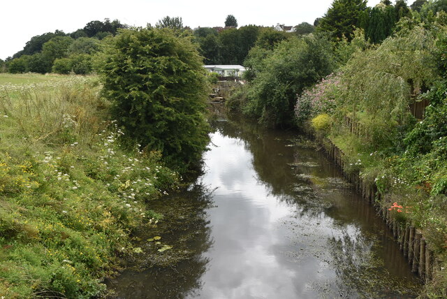
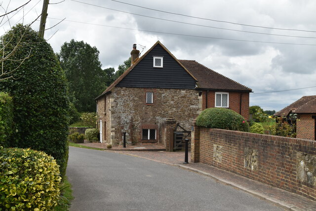
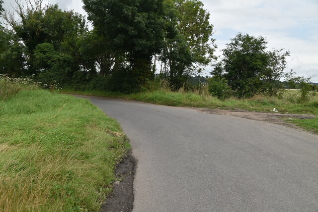
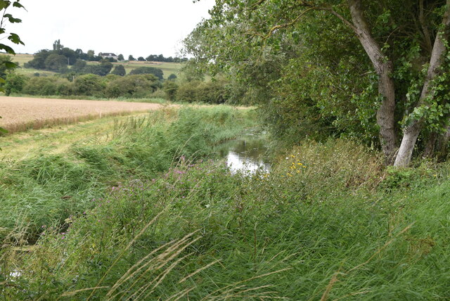
Workhouse Wood is a beautiful woodland located in Sussex, England. Covering an area of approximately 50 acres, it is known for its serene atmosphere and rich biodiversity. The wood is situated near the village of Sussex, providing easy access for nature enthusiasts and visitors alike.
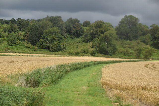
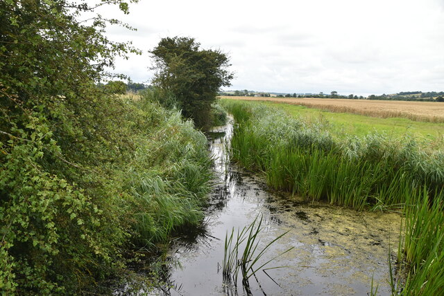
The woodland consists of a diverse range of tree species, including oak, beech, and ash, creating a captivating and picturesque landscape. The dense canopy allows only dappled sunlight to filter through, creating a tranquil and enchanting ambiance. Workhouse Wood is also home to a variety of flora, such as bluebells, wood anemones, and wild garlic, which bloom vibrantly during spring, adding a burst of color to the surroundings.
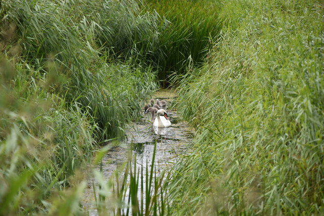
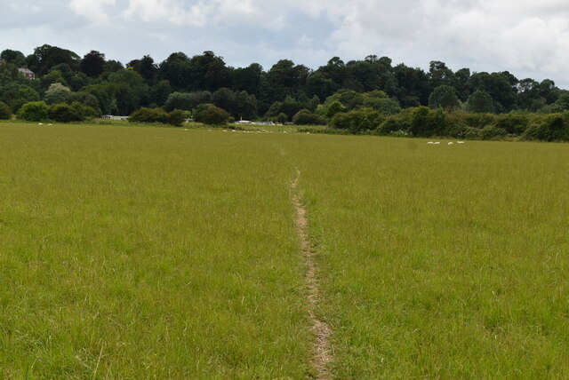
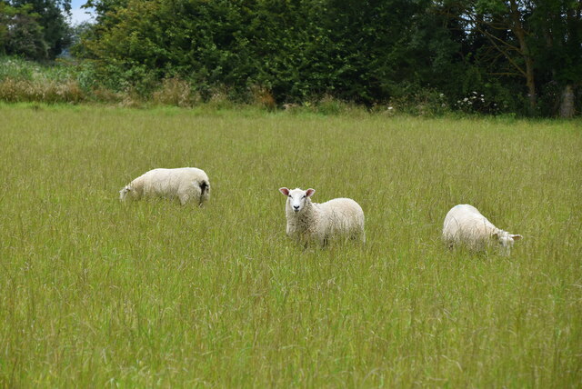
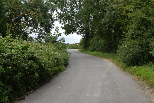
Walking through the wood, visitors can enjoy the peace and solitude that it offers. There are several well-maintained walking paths that wind through the forest, allowing visitors to explore its beauty at their own pace. These trails also provide excellent opportunities for birdwatching, as Workhouse Wood is a haven for a wide range of bird species, including woodpeckers, owls, and nuthatches.
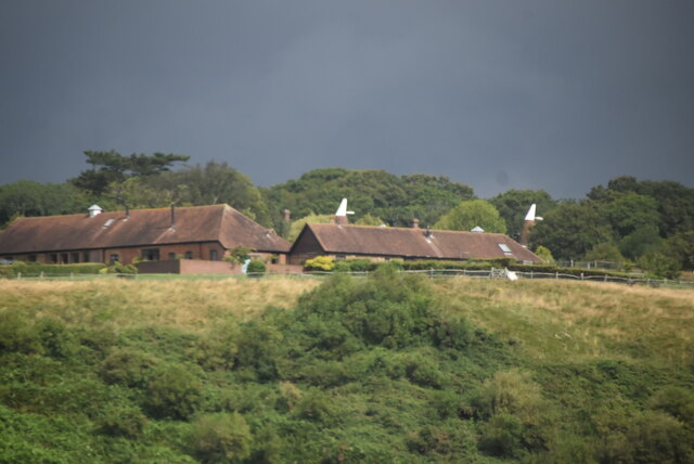
The wood has a rich history, with evidence of human occupation dating back to the Bronze Age. In fact, there are remnants of ancient earthworks within the woodland, adding an element of intrigue for history enthusiasts. The wood also holds a special place in the community, as it was once used as a workhouse during the 19th century, hence its name.
Overall, Workhouse Wood offers a peaceful retreat for those seeking to reconnect with nature. Its lush vegetation, scenic trails, and abundant wildlife make it a must-visit destination for anyone exploring Sussex.
If you have any feedback on the listing, please let us know in the comments section below.
Workhouse Wood Images
Images are sourced within 2km of 50.939068/0.68796378 or Grid Reference TQ8818. Thanks to Geograph Open Source API. All images are credited.

Workhouse Wood is located at Grid Ref: TQ8818 (Lat: 50.939068, Lng: 0.68796378)
Administrative County: East Sussex
District: Rother
Police Authority: Sussex
What 3 Words
///pads.proposes.utensil. Near Winchelsea Beach, East Sussex
Nearby Locations
Related Wikis
Winchelsea railway station
Winchelsea railway station is a railway station in East Sussex, England. It is about 0.62 miles (1 km) from Winchelsea and is actually in the neighbouring...

Udimore
Udimore is a village and civil parish in the Rother district of East Sussex, England. It is located five miles (8 km) west of Rye on the B2089 road to...

St Leonard's Mill, Winchelsea
St Leonard's mill was a post mill at Winchelsea, East Sussex, England which was blown down in the Great Storm of 1987. == History == St Leonard's Mill...

Blackfriars, Winchelsea
Blackfriars, Winchelsea, was a Dominican priory in Winchelsea, East Sussex, England. The friary was established in 1318 by Edward II on the outskirts of...

Winchelsea
Winchelsea () is a town in the county of East Sussex, England, located between the High Weald and the Romney Marsh, approximately 2 miles (3.2 km) south...

Winchelsea Court Hall
Winchelsea Court Hall, formerly known as the Water Bailiff's Prison, is a municipal building in the High Street in Winchelsea, East Sussex, England. The...

The Armoury, Winchelsea
The Armoury is a Grade II* listed building in Winchelsea, East Sussex England. == History and architecture == The Armoury is a medieval building on Castle...

Strand House, Winchelsea
Strand House was the Parish Workhouse of the Sussex town of Winchelsea known as the "Old Poor Houses". It was located on The Strand. == Winchelsea == In...
Nearby Amenities
Located within 500m of 50.939068,0.68796378Have you been to Workhouse Wood?
Leave your review of Workhouse Wood below (or comments, questions and feedback).