Bushy Shaw
Wood, Forest in Sussex Rother
England
Bushy Shaw
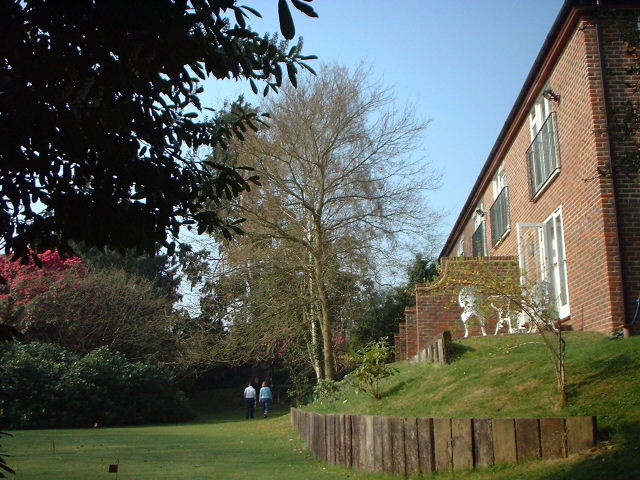
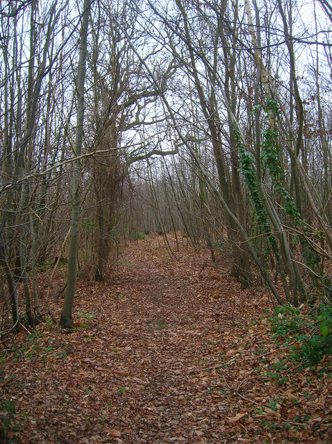
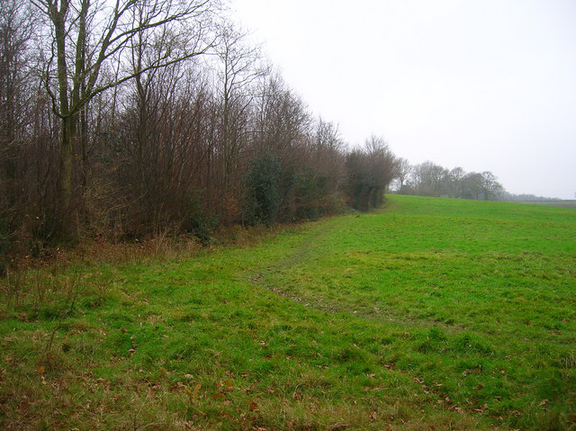
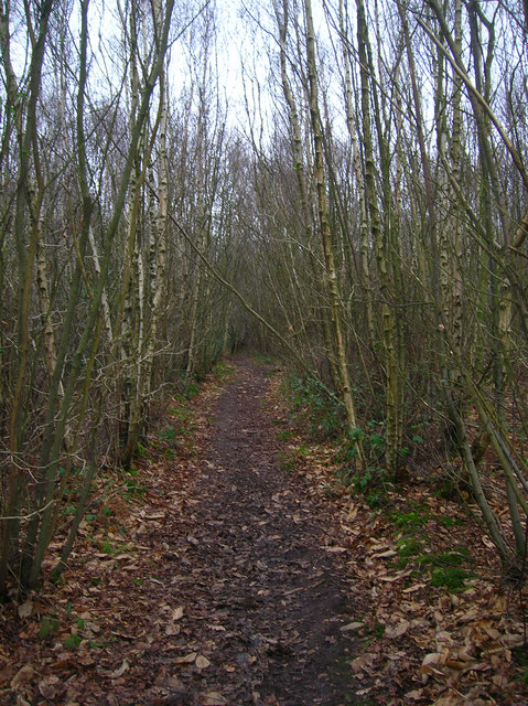
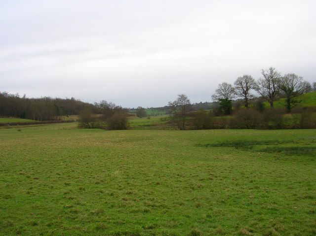
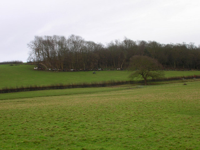
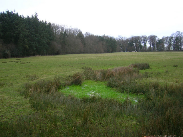
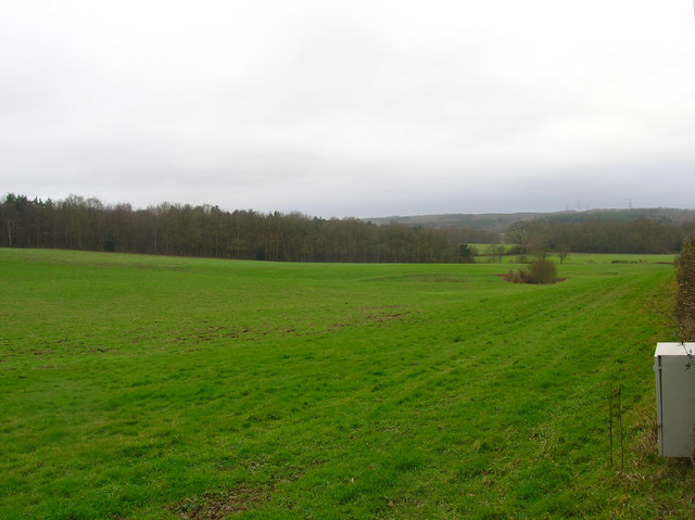
Bushy Shaw is a picturesque woodland area located in Sussex, England. Situated in the heart of the South Downs National Park, it covers an expansive area of lush greenery and dense forests. The woodland is known for its abundant wildlife, diverse flora, and tranquil atmosphere.
The name "Bushy Shaw" aptly describes the area's character, with its thick undergrowth and numerous trees providing a perfect habitat for a variety of species. The woodland is predominantly composed of broadleaf trees, including oak, beech, and ash, which create a stunning canopy of foliage during the summer months.
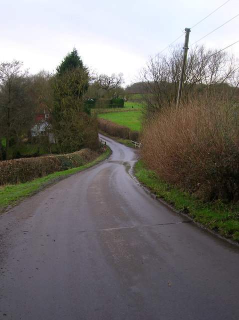
One of the key attractions of Bushy Shaw is its extensive network of walking trails and footpaths, which allow visitors to explore the natural beauty of the area at their own pace. These paths wind through the woods, offering breathtaking views of the surrounding countryside and glimpses of wildlife such as deer, squirrels, and various bird species.
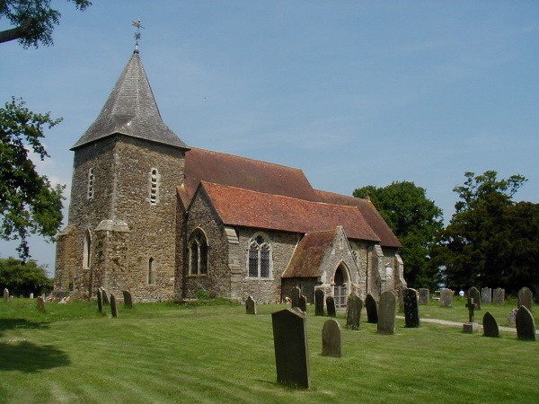
In addition to its natural beauty, Bushy Shaw also has a rich historical significance. The woodland is home to several ancient archaeological sites, including Iron Age hill forts and Bronze Age burial mounds. These remnants of the past add an intriguing dimension to the area, providing visitors with a glimpse into the region's ancient history.
Overall, Bushy Shaw is a captivating woodland destination that offers a serene escape from the bustle of everyday life. Its lush forests, diverse wildlife, and historical sites make it a must-visit location for nature enthusiasts, history buffs, and anyone seeking a peaceful retreat in the heart of Sussex.
If you have any feedback on the listing, please let us know in the comments section below.
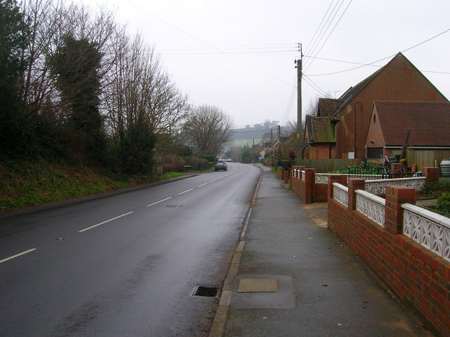
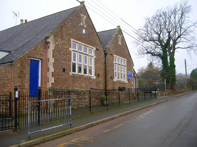
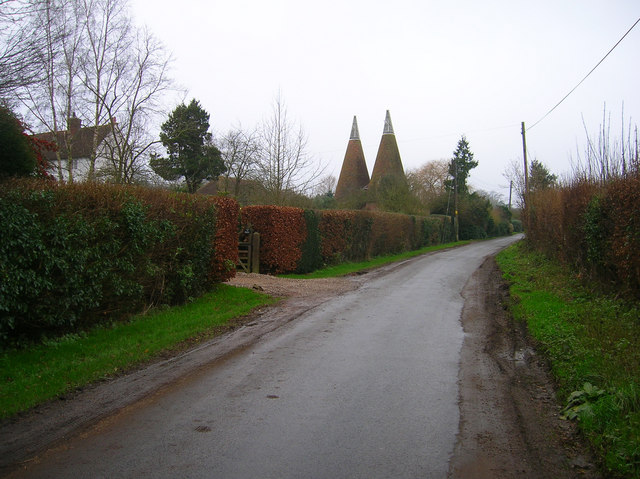
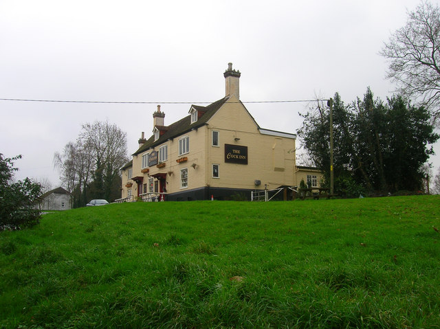
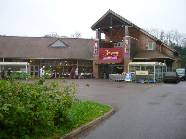
Bushy Shaw Images
Images are sourced within 2km of 50.963105/0.68935142 or Grid Reference TQ8821. Thanks to Geograph Open Source API. All images are credited.

Bushy Shaw is located at Grid Ref: TQ8821 (Lat: 50.963105, Lng: 0.68935142)
Administrative County: East Sussex
District: Rother
Police Authority: Sussex
What 3 Words
///conceals.sprouts.crockery. Near Rye, East Sussex
Nearby Locations
Related Wikis

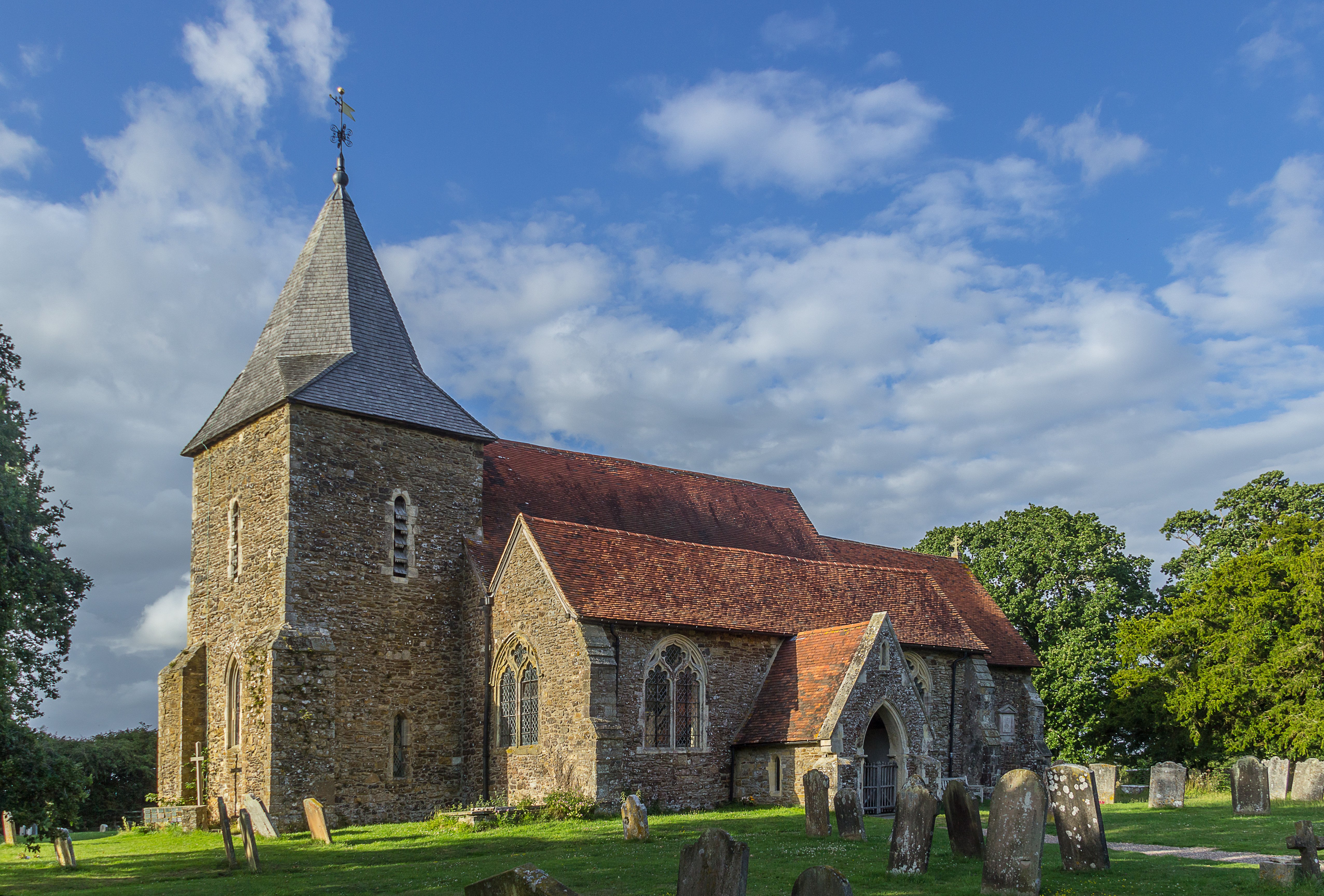
Rye Foreign
Rye Foreign is a small hamlet and civil parish in the Rother district of East Sussex, England. The hamlet is about 2 miles (or 3 km) north-west of Rye...

Leasam Heronry Wood
Leasam Heronry Wood is a 2.1-hectare (5.2-acre) biological Site of Special Scientific Interest north-west of Rye in East Sussex.This wood is not long established...
Peasmarsh
Peasmarsh is a village and civil parish in the Rother district, in the county of East Sussex in England. It is located on the A268 road between Rye and...

Udimore
Udimore is a village and civil parish in the Rother district of East Sussex, England. It is located five miles (8 km) west of Rye on the B2089 road to...
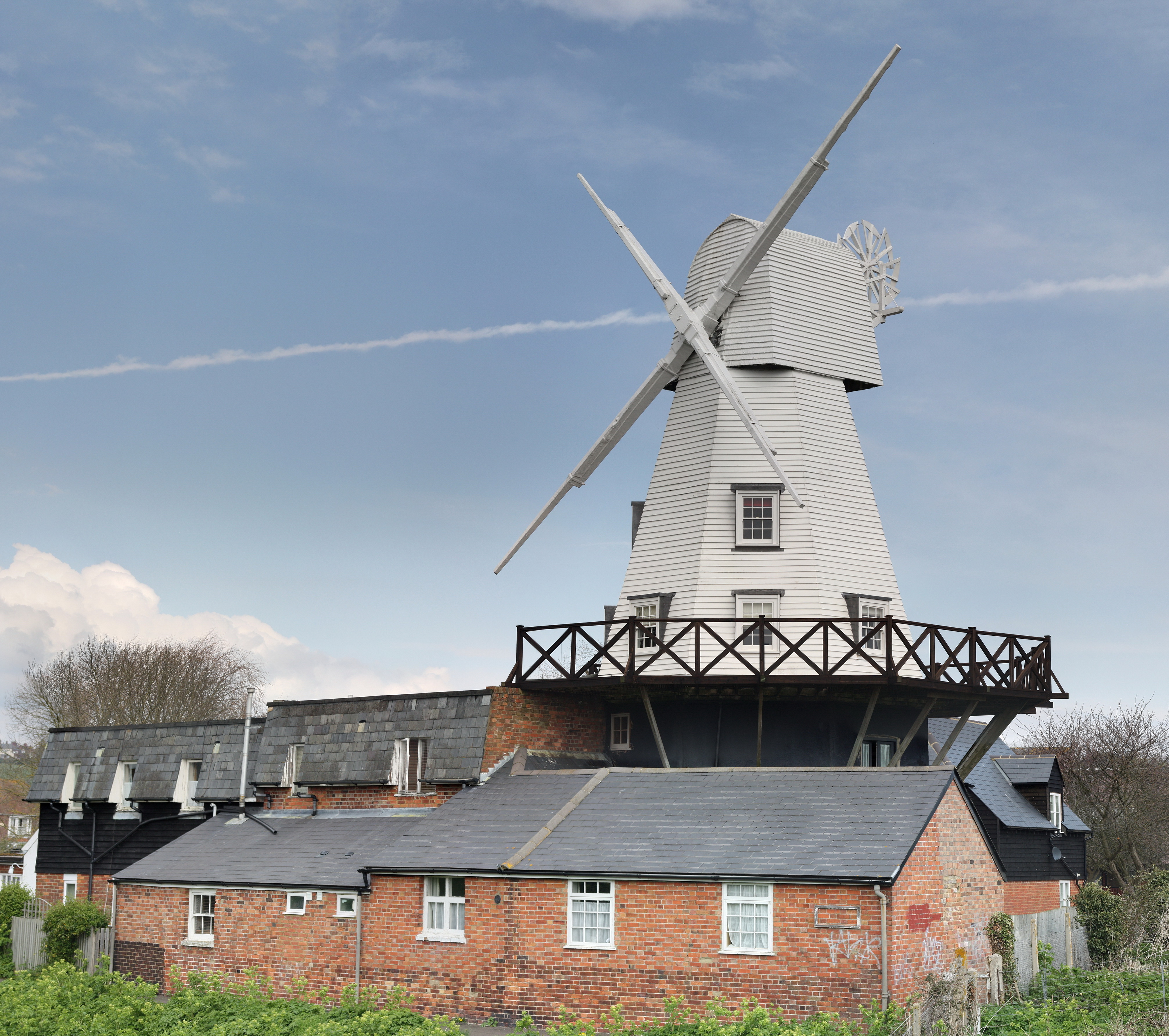
Gibbet Mill, Rye
Gibbet Mill, Tillingham Mill, Barry's Mill or New Mill is a grade II listed cosmetically reconstructed smock mill at Rye, East Sussex, England. Today it...

Rye Studio School
Rye Studio School was a mixed studio school located in Rye, East Sussex, England. It opened in 2013 and catered for students aged 14–19 years. It was located...
Rye College
Rye College, formerly known as Thomas Peacocke Community College, is a coeducational secondary school with academy status, located in Rye, East Sussex...
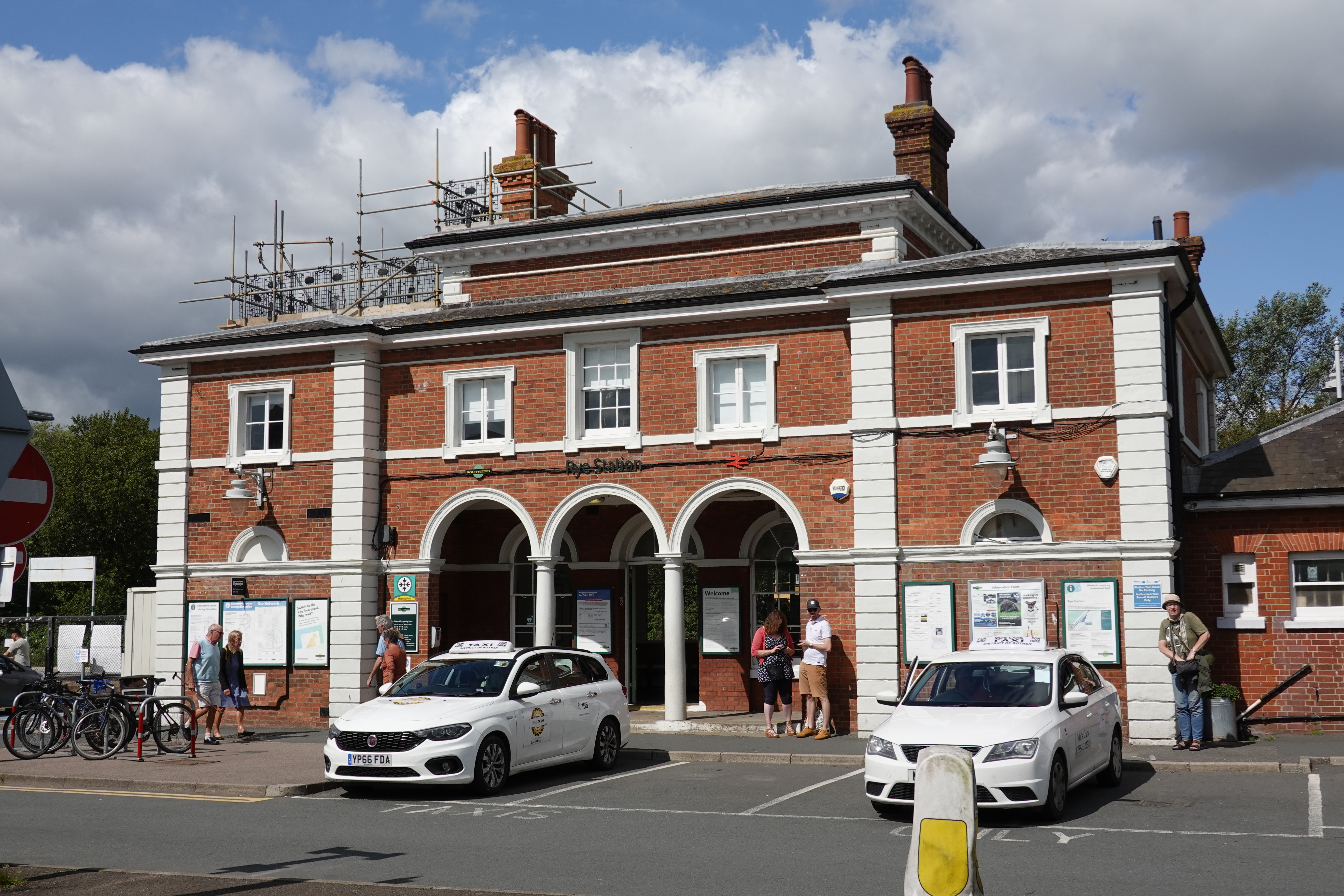
Rye railway station (East Sussex)
Rye railway station is a Grade II listed station, serving Rye, East Sussex, England. It is on the Marshlink line between Hastings and Ashford International...
Nearby Amenities
Located within 500m of 50.963105,0.68935142Have you been to Bushy Shaw?
Leave your review of Bushy Shaw below (or comments, questions and feedback).