Hammond's Wood

Wood, Forest in Sussex Rother

England

Hammond's Wood

Farmland by Marshlink line
Farmland by Marshlink line Credit: N Chadwick

Hammond's Wood is a picturesque woodland located in the charming county of Sussex, England. Covering an area of approximately 100 acres, this woodland is a true haven of tranquility and natural beauty. It is situated near the village of Hammond's Green, just a short distance from the bustling market town of Horsham.

The wood is predominantly composed of native broadleaf trees such as oak, ash, and beech, creating a diverse and lush habitat for a wide array of flora and fauna. The forest floor is covered with an enchanting carpet of wildflowers, including bluebells in the springtime, adding a burst of color to the surroundings.

Hammond's Wood is a popular destination for nature lovers and outdoor enthusiasts alike. The woodland offers a network of well-maintained walking trails, allowing visitors to immerse themselves in the beauty of the natural surroundings. These trails wind through the dense foliage, offering glimpses of wildlife such as deer, squirrels, and a variety of birds.

In addition to its natural charm, Hammond's Wood also has historical significance. The remains of ancient settlements have been discovered within the woodland, providing glimpses into the area's rich past.

Overall, Hammond's Wood is a serene and captivating place, offering a peaceful escape from the hectic pace of modern life. Whether one seeks a leisurely stroll, a spot for birdwatching, or a place to connect with nature, this woodland provides a truly idyllic setting for visitors to enjoy.

If you have any feedback on the listing, please let us know in the comments section below.

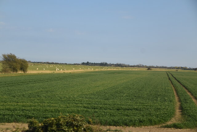
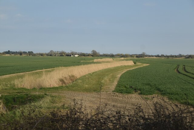
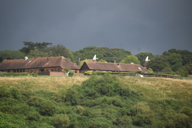
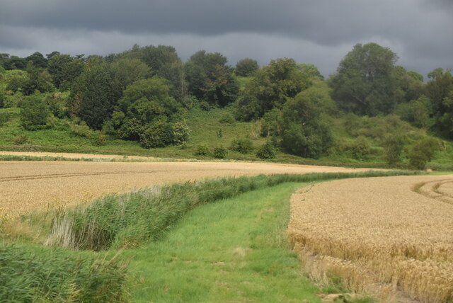
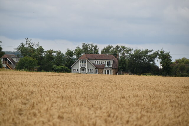
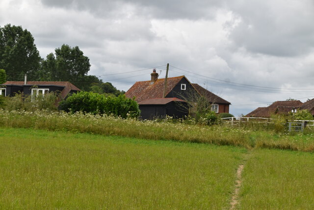
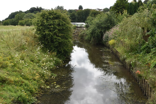
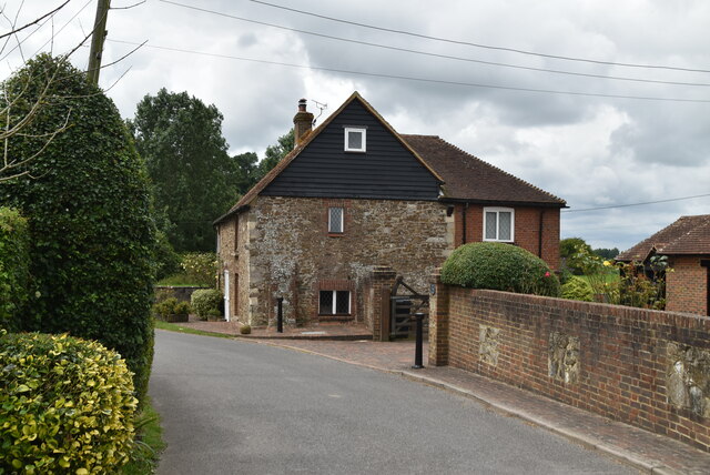
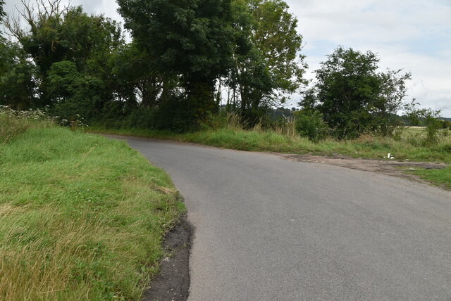
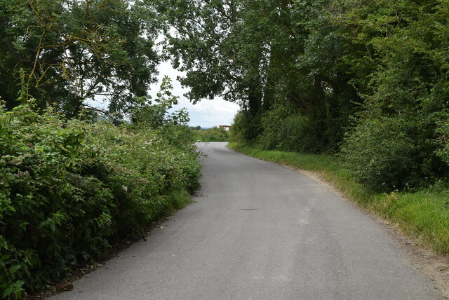
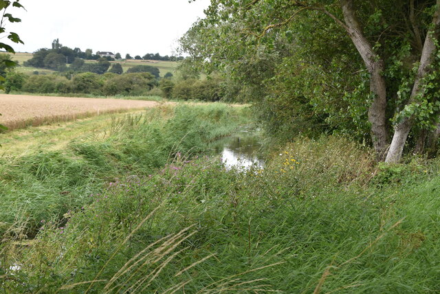
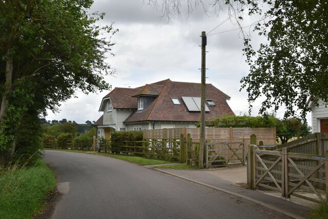
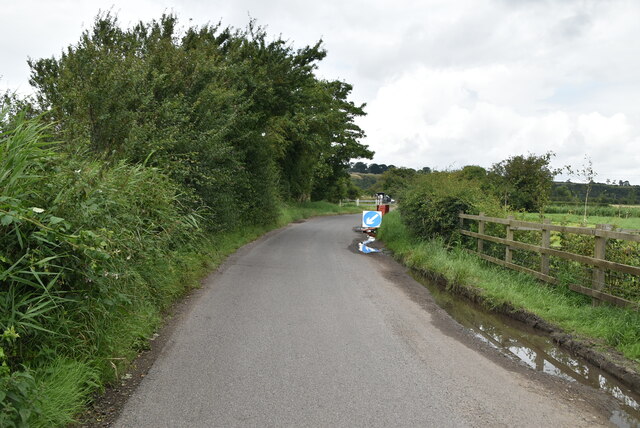
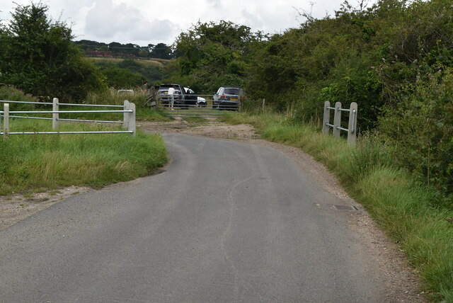
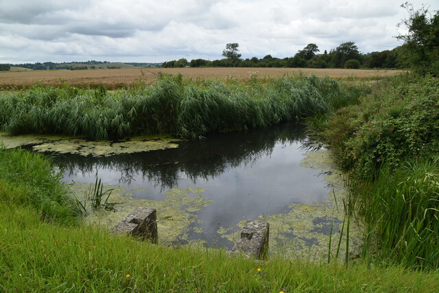
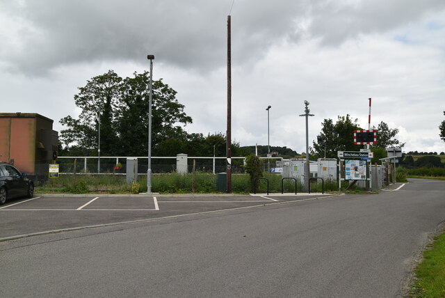
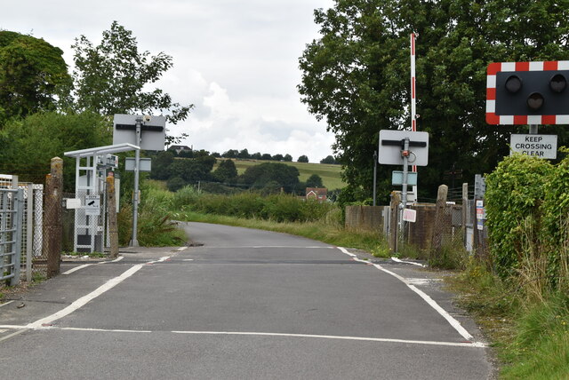
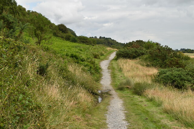
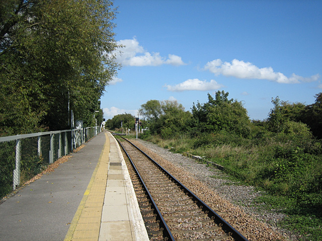
Hammond's Wood Images

Images are sourced within 2km of 50.939306/0.68390614 or Grid Reference TQ8818. Thanks to Geograph Open Source API. All images are credited.

Farmland by Marshlink line
Drainage channel
Drainage channel
Watlands Oast Two round kiln oast house, one to each end of stowage. Once part of Watlands Farm.

Grade II listed.
Watlands Oast
Two round kiln oast house, one to each end of stowage. Once part of Watlands Farm. Grade II listed.
Drainage ditch
Drainage ditch
House on Station Rd
House on Station Rd
Ferry Farmhouse
Ferry Farmhouse
River Brede The River Brede rises north of Battle and flows generally eastwards before joining the River Tillingham and then the River Rother at Rye. It is approximately 15 miles long. In its lower course it forms part of the Royal Military Canal. In the past the river had a wide estuary, on which stood the town of Winchelsea, but this has silted up.
River Brede
The River Brede rises north of Battle and flows generally eastwards before joining the River Tillingham and then the River Rother at Rye. It is approximately 15 miles long. In its lower course it forms part of the Royal Military Canal. In the past the river had a wide estuary, on which stood the town of Winchelsea, but this has silted up.
The Ferry Grade II listed.
The Ferry
Grade II listed.
Station Rd
Station Rd
Station Rd
Station Rd
Drain by Station Rd
Drain by Station Rd
White Fleet
White Fleet
Station Rd
Station Rd
Station Rd
Station Rd
Drain by Station Rd
Drain by Station Rd
Winchelsea Station Winchelsea station is about 1 km from Winchelsea and is actually in the neighbouring parish of Udimore. It is on the Marshlink Line 15 km north east of Hastings, and train services are provided by Southern. the station has very limited services. It opened in 1851.
Winchelsea Station
Winchelsea station is about 1 km from Winchelsea and is actually in the neighbouring parish of Udimore. It is on the Marshlink Line 15 km north east of Hastings, and train services are provided by Southern. the station has very limited services. It opened in 1851.
Level crossing, Winchelsea Station
1066 Country Walk 1066 Country Walk is a 31 mile (50 kilometre) walk from Pevensey to Rye. You can follow in the steps of William the Conqueror taking in historical sites on a generally low level walk. The route includes the Normans' landing point at Pevensey, the battle site, and the castles at Pevensey and Herstmonceux.
There are links from the main route between Battle and Bexhill and between Doleham and Hastings. It is waymarked using red circles with a sword.
Website: <span class="nowrap"><a title="http://www.highweald.org/text.asp?PageId=30" rel="nofollow ugc noopener" href="http://www.highweald.org/text.asp?PageId=30">Link</a><img style="margin-left:2px;" alt="External link" title="External link - shift click to open in new window" src="https://s1.geograph.org.uk/img/external.png" width="10" height="10"/></span>
1066 Country Walk
1066 Country Walk is a 31 mile (50 kilometre) walk from Pevensey to Rye. You can follow in the steps of William the Conqueror taking in historical sites on a generally low level walk. The route includes the Normans' landing point at Pevensey, the battle site, and the castles at Pevensey and Herstmonceux. There are links from the main route between Battle and Bexhill and between Doleham and Hastings. It is waymarked using red circles with a sword. Website: LinkExternal link
Show me another place!

Hammond's Wood is located at Grid Ref: TQ8818 (Lat: 50.939306, Lng: 0.68390614)

Administrative County: East Sussex

District: Rother

Police Authority: Sussex

What 3 Words

///tinny.suitcase.swerves. Near Winchelsea Beach, East Sussex

Related Wikis

Udimore

Udimore is a village and civil parish in the Rother district of East Sussex, England. It is located five miles (8 km) west of Rye on the B2089 road to...

Winchelsea railway station

Winchelsea railway station is a railway station in East Sussex, England. It is about 0.62 miles (1 km) from Winchelsea and is actually in the neighbouring...

St Leonard's Mill, Winchelsea

St Leonard's mill was a post mill at Winchelsea, East Sussex, England which was blown down in the Great Storm of 1987. == History == St Leonard's Mill...

Blackfriars, Winchelsea

Blackfriars, Winchelsea, was a Dominican priory in Winchelsea, East Sussex, England. The friary was established in 1318 by Edward II on the outskirts of...

Winchelsea

Winchelsea () is a town in the county of East Sussex, England, located between the High Weald and the Romney Marsh, approximately 2 miles (3.2 km) south...

Icklesham

Icklesham is a village and civil parish in the Rother district of East Sussex, England. The village is located about six miles (10 km) east of Hastings...

Winchelsea Court Hall

Winchelsea Court Hall, formerly known as the Water Bailiff's Prison, is a municipal building in the High Street in Winchelsea, East Sussex, England. The...

The Armoury, Winchelsea

The Armoury is a Grade II* listed building in Winchelsea, East Sussex England. == History and architecture == The Armoury is a medieval building on Castle...

Nearby Amenities

Located within 500m of 50.939306,0.68390614
Power: pole
Lat/Long: 50.9361791/0.6859323
Power: pole
Lat/Long: 50.9357352/0.6828124
Power: pole
Lat/Long: 50.9371559/0.6882772
Power: pole
Lat/Long: 50.9411099/0.6847352
Power: pole
Lat/Long: 50.9364215/0.6876587
Power: pole
Lat/Long: 50.9394796/0.6861865
Power: pole
Lat/Long: 50.9429439/0.6831219
Power: pole
Lat/Long: 50.9360225/0.6848239
Power: pole
Lat/Long: 50.9387656/0.6868224
Power: pole
Lat/Long: 50.9356876/0.6799842
Power: pole
Lat/Long: 50.9378461/0.6790986
Power: pole
Lat/Long: 50.9367033/0.6896745
Power: pole
Lat/Long: 50.9356209/0.6819352
Power: pole
Lat/Long: 50.9351907/0.6858695
Power: pole
Lat/Long: 50.9378553/0.6876333
Power: pole
Lat/Long: 50.940617/0.6851765
Power: pole
Lat/Long: 50.9393002/0.685541
Power: pole
Lat/Long: 50.9362703/0.6866151
Power: pole
Lat/Long: 50.9358932/0.68391
Power: pole
Lat/Long: 50.9369005/0.6790118
Power: pole
Lat/Long: 50.9417701/0.6841596
Power: pole
Lat/Long: 50.9392386/0.6863974
Power: pole
Lat/Long: 50.9365808/0.6887671
Power: pole
Lat/Long: 50.9435588/0.6825541
Power: pole
Lat/Long: 50.93815/0.6874386
Power: pole
Lat/Long: 50.9400125/0.6857107
Power: pole
Lat/Long: 50.9354792/0.6809176
Pub
The Plough at Cock Marling
Lat/Long: 50.9378611/0.6794787
Cock Marling
Place: hamlet
Lat/Long: 50.9381189/0.6789858
The data included in this document is from www.openstreetmap.org. The data is made available under ODbL.

Have you been to Hammond's Wood?

Leave your review of Hammond's Wood below (or comments, questions and feedback).