Cottage Covert

Wood, Forest in Norfolk North Norfolk

England

Cottage Covert

Dilapidated farm buildings near New Holkham
Dilapidated farm buildings near New Holkham Credit: Jonathan Thacker

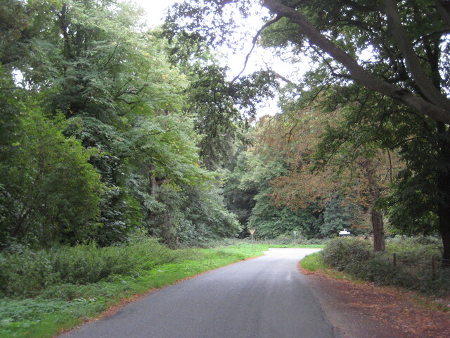
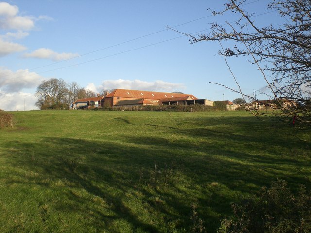
Cottage Covert is a charming woodland area located in Norfolk, England. Situated amidst the picturesque countryside, it is a haven for nature enthusiasts and those seeking tranquility. The covert is primarily composed of lush woodlands, abundant with various species of trees including oak, beech, and birch. The dense foliage creates a serene atmosphere, making it a popular destination for leisurely walks and picnics.

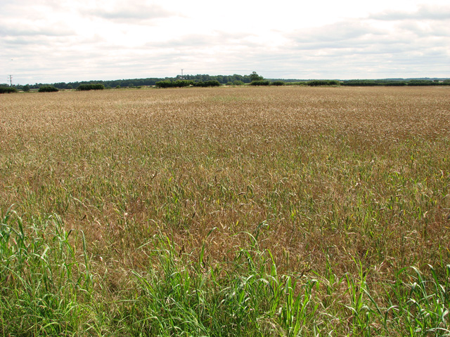
The woodland is teeming with wildlife, offering visitors a chance to observe a range of creatures in their natural habitat. Squirrels can be seen darting through the trees, while a variety of birds, such as woodpeckers and owls, can be heard singing their melodies. The diverse ecosystem also supports a rich assortment of flora, with wildflowers and ferns carpeting the forest floor during the warmer months.

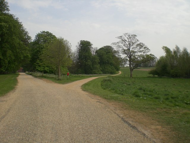
Cottage Covert boasts a network of well-maintained footpaths that wind their way through the woodlands, providing visitors with opportunities to explore the area at their own pace. These trails offer stunning views of the surrounding countryside, including rolling hills and open meadows.

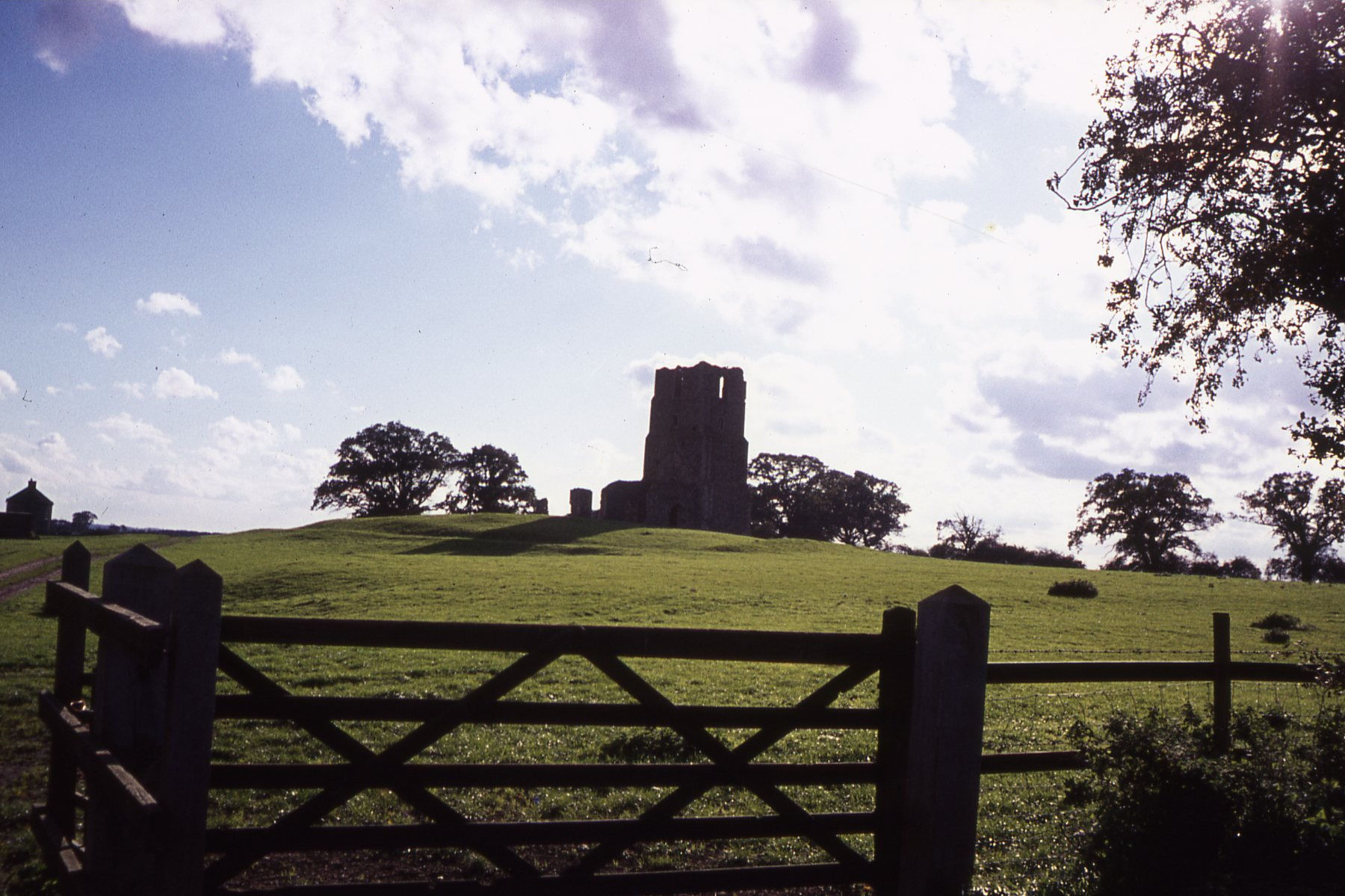
The location is also home to a quaint cottage, which lends its name to the covert. This picturesque dwelling adds to the charm of the area and provides a glimpse into the region's history. The cottage has been beautifully preserved and serves as a reminder of the rural lifestyle that once dominated the area.

In conclusion, Cottage Covert is a delightful woodland retreat in Norfolk, offering visitors a chance to immerse themselves in the beauty of nature. With its diverse flora and fauna, tranquil atmosphere, and scenic views, it is a must-visit destination for those seeking solace in the heart of the countryside.

If you have any feedback on the listing, please let us know in the comments section below.

Cottage Covert Images

Images are sourced within 2km of 52.923556/0.80493798 or Grid Reference TF8839. Thanks to Geograph Open Source API. All images are credited.

Dilapidated farm buildings near New Holkham
Wells Road near New Holkham
Brick and flint wall surrounding Holkham Park
Fields by Holkham Park
Ripening barley south of Holkham Park
South Lodge, New Holkham South Lodge is one of two gatehouses by the southern entrance into Holkham Park.
South Lodge, New Holkham
South Lodge is one of two gatehouses by the southern entrance into Holkham Park.
South Lodge, New Holkham One of two gatehouses by the southern entrance into Holkham Park.
South Lodge, New Holkham
One of two gatehouses by the southern entrance into Holkham Park.
Road past South Lodge, new Holkham South Lodge is the name of two gatehouses by the southern entrance into Holkham Park.
Road past South Lodge, new Holkham
South Lodge is the name of two gatehouses by the southern entrance into Holkham Park.
Ornate entrance gate into Holkham Park by South Lodge
Driveway from the Triumphal Arch to South Lodge, Holkham Park
The Triumphal Arch in Holkham Park Designed by William Kent in 1739 and completed in 1752.
The Triumphal Arch in Holkham Park
Designed by William Kent in 1739 and completed in 1752.
The Triumphal Arch in Holkham Park Designed by William Kent in 1739 and completed in 1752.
The Triumphal Arch in Holkham Park
Designed by William Kent in 1739 and completed in 1752.
View along the Avenue from South Lodge, Holkham Park The tall monument seen in the distance (in adjacent grid square) is the Obelisk, designed in 1730 by William Kent to commemorate the construction of Holkham Hall. It is 24 metres high and stands on the highest point of the park and on axis with the centre of the Hall.
View along the Avenue from South Lodge, Holkham Park
The tall monument seen in the distance (in adjacent grid square) is the Obelisk, designed in 1730 by William Kent to commemorate the construction of Holkham Hall. It is 24 metres high and stands on the highest point of the park and on axis with the centre of the Hall.
Lane heading to Blunt's Corner, Holkham, Norfolk The trees on the horizon are in the parkland around Holkham Hall
Lane heading to Blunt's Corner, Holkham, Norfolk
The trees on the horizon are in the parkland around Holkham Hall
Track to Branthill Farm near Holkham There are numerous unmade roads/tracks throughout this part of Norfolk giving access to remote agricultural land
Track to Branthill Farm near Holkham
There are numerous unmade roads/tracks throughout this part of Norfolk giving access to remote agricultural land
The southern corner of Holkham Park in Norfolk The tree plantation behind the flint wall is known as The Belt
The southern corner of Holkham Park in Norfolk
The tree plantation behind the flint wall is known as The Belt
The Triumphal Arch, Holkham Park, Norfolk Designed by William Kent and completed in 1752.
The Triumphal Arch, Holkham Park, Norfolk
Designed by William Kent and completed in 1752.
Crowdale Wood near Holkham, Norfolk
Show me another place!

Cottage Covert is located at Grid Ref: TF8839 (Lat: 52.923556, Lng: 0.80493798)

Administrative County: Norfolk

District: North Norfolk

Police Authority: Norfolk

What 3 Words

///crouching.harmless.lakes. Near Wells-next-the-Sea, Norfolk

Related Wikis

Quarles, Norfolk

Quarles is a hamlet and former civil parish, now in the civil parish of Holkham, in the North Norfolk district, in the county of Norfolk, England. The...

RAF North Creake

Royal Air Force North Creake or more simply RAF North Creake is a former Royal Air Force station located 3.3 miles (5.3 km) southwest of Wells-next-the...

Egmere medieval settlement

Egmere medieval settlement is a deserted medieval village in Norfolk, England, about 2.5 miles (4.0 km) west of Walsingham. It is a Scheduled Monument...

Art collections of Holkham Hall

The art collection of Holkham Hall in Norfolk, England, remains very largely that which the original owner intended the house to display; the house was...

Holkham Hall

Holkham Hall ( or ) is an 18th-century country house near the village of Holkham, Norfolk, England, constructed in the Neo-Palladian style for the 1st...

Creake Abbey

Creake Abbey is a ruined abbey in Norfolk, England, situated alongside the River Burn and a mile to the north of the village of North Creake. The abbey...

Burnham Thorpe

Burnham Thorpe is a hamlet and civil parish on the River Burn and near the coast of Norfolk, England. It is famous for being the birthplace of Vice Admiral...

Waterden medieval settlement

Waterden medieval settlement is a deserted medieval village in Norfolk, England, about 3 miles (4.8 km) west of Walsingham. It is a Scheduled Monument...

Nearby Amenities

Located within 500m of 52.923556,0.80493798
Post Box
Note: No information panel in place when I surveyed this.
Source: survey
Lat/Long: 52.9224071/0.8012769
Barrier: cattle_grid
Lat/Long: 52.9214918/0.7987834
New Holkham
Place: isolated_dwelling
Lat/Long: 52.922471/0.8017477
Give Way
Lat/Long: 52.9219045/0.8052894
Give Way
Lat/Long: 52.9218835/0.8053699
Power: pole
Lat/Long: 52.9215482/0.7993519
Power: pole
Lat/Long: 52.9210922/0.8007038
Power: pole
Lat/Long: 52.920628/0.8020422
Power: pole
Lat/Long: 52.920172/0.8034235
Power: pole
Lat/Long: 52.9197499/0.8046305
Power: pole
Lat/Long: 52.9193133/0.8059099
Traders Gate Holkham Hall
Tourism: attraction
Lat/Long: 52.9229201/0.7989667
Power: pole
Lat/Long: 52.9221627/0.797976
The data included in this document is from www.openstreetmap.org. The data is made available under ODbL.

Have you been to Cottage Covert?

Leave your review of Cottage Covert below (or comments, questions and feedback).