King George's Plantation
Wood, Forest in Norfolk North Norfolk
England
King George's Plantation

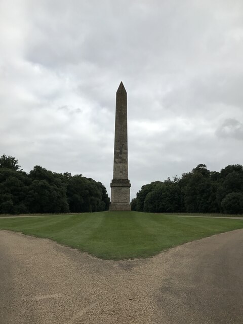
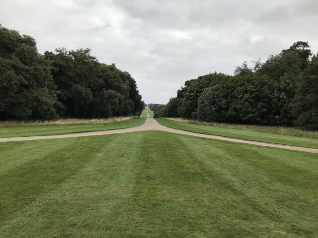
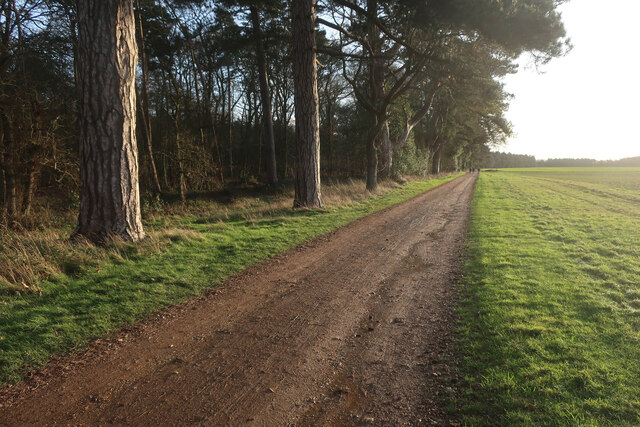
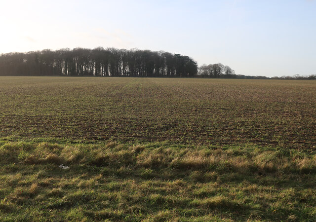
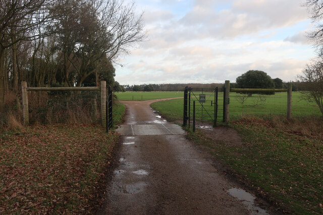
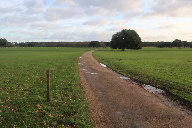
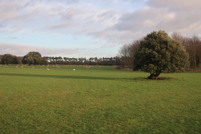
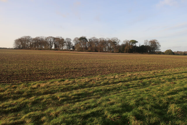
King George's Plantation, Norfolk, also known as Wood or Forest, is a historic site located in Norfolk, England. Spanning approximately 200 acres, this plantation holds great significance in the region's history and is a popular destination for both locals and tourists.
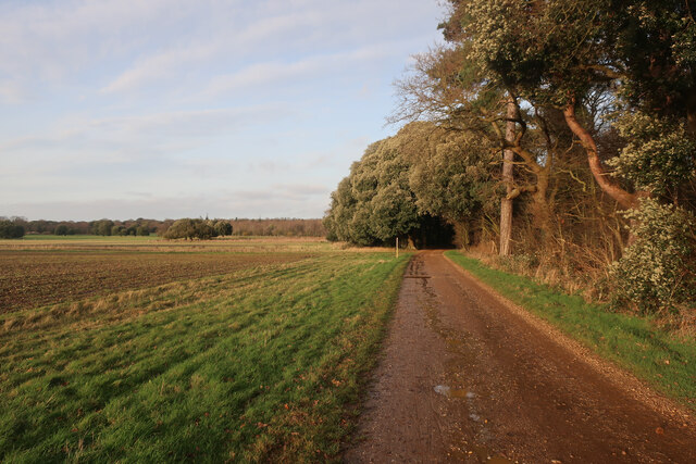
The plantation was established during the reign of King George I in the early 18th century, hence its name. It was designed as a model woodland and was primarily used for timber production. The area was carefully managed, with various species of trees being cultivated for their timber value, including oak, beech, and pine. The plantation's proximity to the coast made it an ideal location for timber exports, contributing to Norfolk's thriving timber industry during that period.
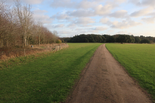
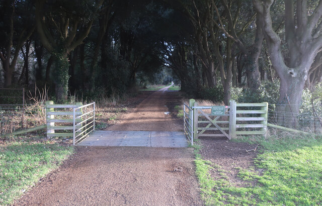
Today, King George's Plantation is a designated nature reserve, managed by the Norfolk Wildlife Trust. Visitors can explore the tranquil woodland, taking in the diverse flora and fauna that call this area home. The plantation boasts a rich variety of wildlife, including deer, squirrels, and a plethora of bird species. It is a haven for nature enthusiasts and offers opportunities for hiking, birdwatching, and photography.
The site also holds historical importance, with remnants of the old timber industry still visible, such as saw pits and charcoal burning platforms. Interpretive signs and informational displays are placed throughout the plantation, providing visitors with insight into its historical and ecological significance.
King George's Plantation, Norfolk, is a unique blend of natural beauty and historical heritage. Its picturesque woodland, rich wildlife, and historical remnants make it a must-visit destination for those interested in the region's heritage and nature.
If you have any feedback on the listing, please let us know in the comments section below.
King George's Plantation Images
Images are sourced within 2km of 52.952028/0.8067065 or Grid Reference TF8843. Thanks to Geograph Open Source API. All images are credited.
King George's Plantation is located at Grid Ref: TF8843 (Lat: 52.952028, Lng: 0.8067065)
Administrative County: Norfolk
District: North Norfolk
Police Authority: Norfolk
What 3 Words
///manly.minimums.quicksand. Near Wells-next-the-Sea, Norfolk
Nearby Locations
Related Wikis

Art collections of Holkham Hall
The art collection of Holkham Hall in Norfolk, England, remains very largely that which the original owner intended the house to display; the house was...
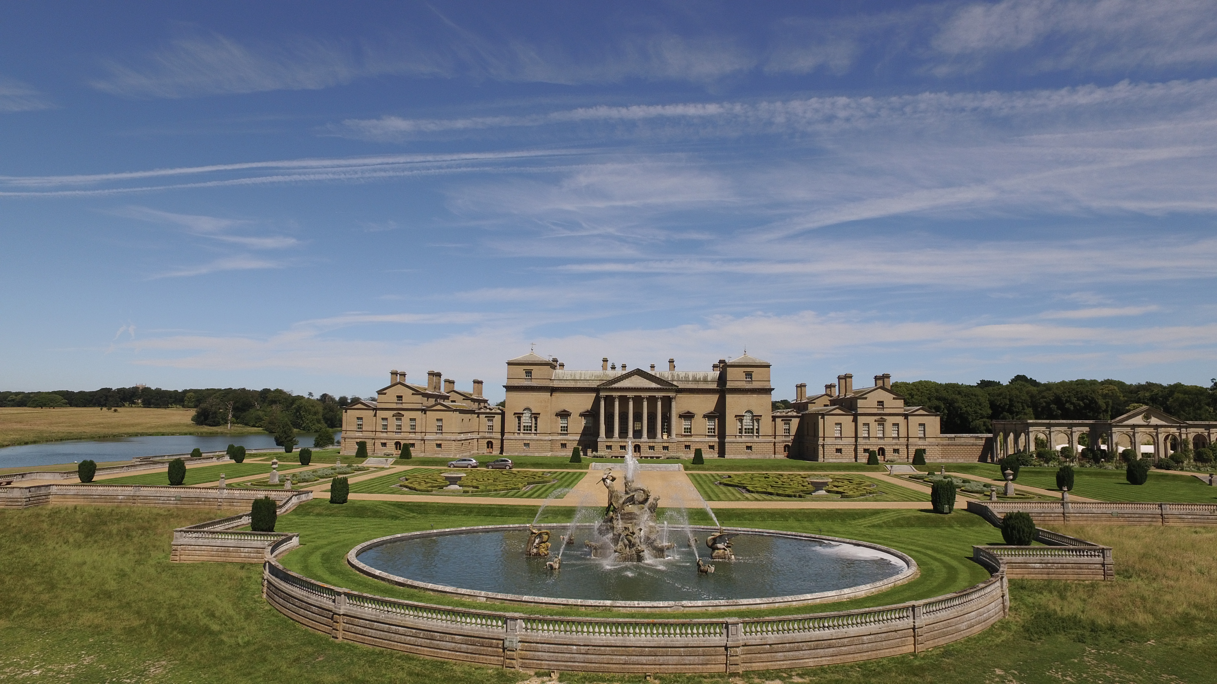
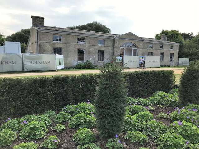
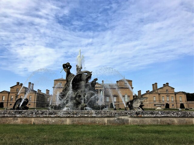
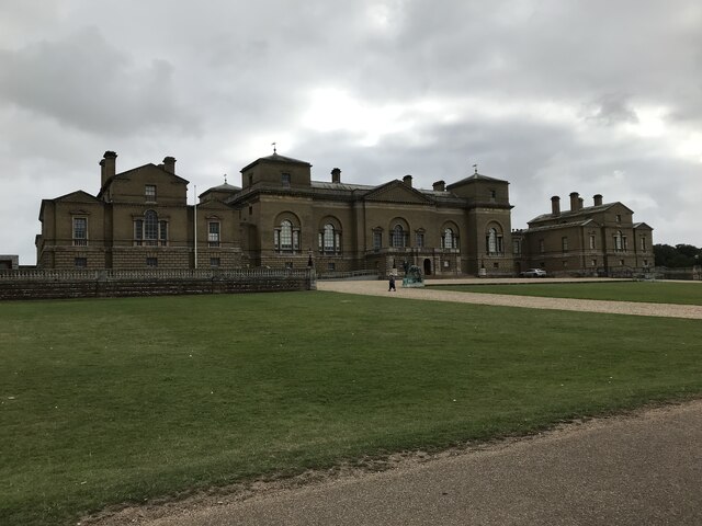
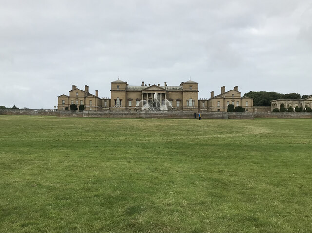
Holkham Hall
Holkham Hall ( or ) is an 18th-century country house near the village of Holkham, Norfolk, England, constructed in the Neo-Palladian style for the 1st...

Holkham
Holkham is a small village and civil parish in north Norfolk, England, which includes a stately home and estate, Holkham Hall, and a beach, Holkham Gap...

Holkham railway station
Holkham was a railway station which served the coastal village of Holkham in Norfolk, England. Opened by the West Norfolk Junction railway in 1866, it...

Holkham National Nature Reserve
Holkham National Nature Reserve is England's largest national nature reserve (NNR). It is on the Norfolk coast between Burnham Overy Staithe and Blakeney...
Holkham Camp
Holkham Camp, or Holkham Fort, is an Iron Age fort in Norfolk, England, about 1 mile (1.6 km) north-west of the village of Holkham. It is a scheduled monument...
Holkham Brick Pit
Holkham Brick Pit is a 0.5-hectare (1.2-acre) geological Site of Special Scientific Interest west of Wells-next-the-Sea in Norfolk. It is a Geological...
Peterstone Priory
Peterstone Priory a house of Augustinian Canons, was a priory in Burnham Overy, Norfolk, England. It was founded before 1200 and incorporated 1449. �...
Nearby Amenities
Located within 500m of 52.952028,0.8067065Have you been to King George's Plantation?
Leave your review of King George's Plantation below (or comments, questions and feedback).