Leeds Wood
Wood, Forest in Suffolk West Suffolk
England
Leeds Wood
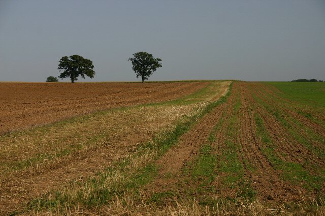
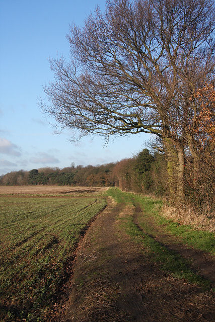
Leeds Wood is a picturesque woodland located in Suffolk, England. Covering an area of approximately 100 acres, it is a haven of natural beauty and tranquility. The wood is situated near the village of Leeds, and is easily accessible by foot or car.
As one enters Leeds Wood, they are greeted by a diverse array of trees, including oak, beech, and birch. These majestic trees form a dense canopy, providing shade and shelter to the forest floor below. The wood is also home to a variety of wildlife, such as deer, foxes, and numerous species of birds, making it a popular spot for nature enthusiasts and birdwatchers.
The woodland is crisscrossed by a network of footpaths, inviting visitors to explore its enchanting surroundings. These paths lead through sun-dappled glades, across babbling brooks, and up gentle inclines, offering panoramic views of the surrounding countryside. Leeds Wood is also intersected by a small stream, adding to its charm and creating a soothing soundtrack of trickling water.
In addition to its natural beauty, the wood has historical significance. It is believed to have been part of the ancient royal hunting ground of King John, dating back to the 12th century. There are remnants of old structures, such as crumbling stone walls and ancient boundary markers, which add an air of mystery and intrigue to the woodland.
Whether one seeks solace in nature, an opportunity to spot wildlife, or a glimpse into the past, Leeds Wood is a captivating destination that offers something for everyone. It is a true gem in the Suffolk countryside, attracting visitors from near and far to its serene and enchanting landscape.
If you have any feedback on the listing, please let us know in the comments section below.
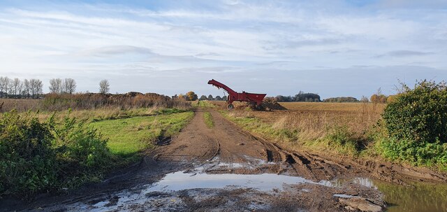
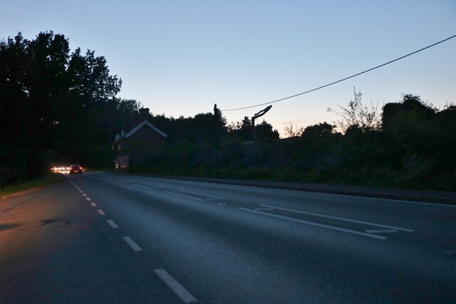
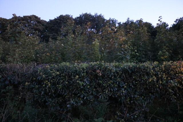
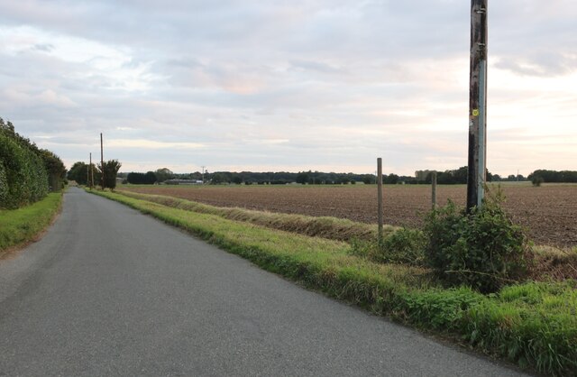
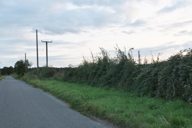
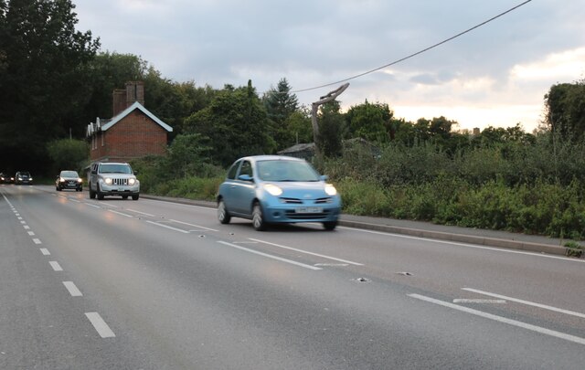
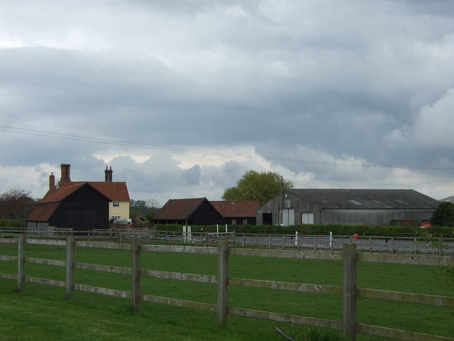
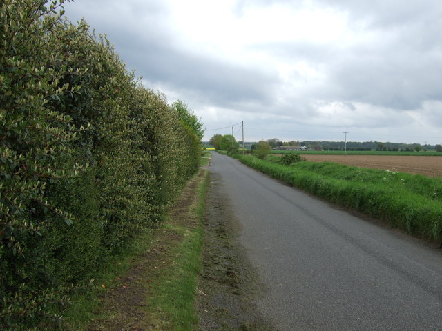
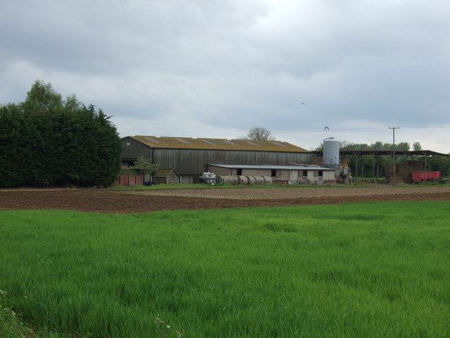
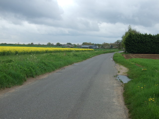
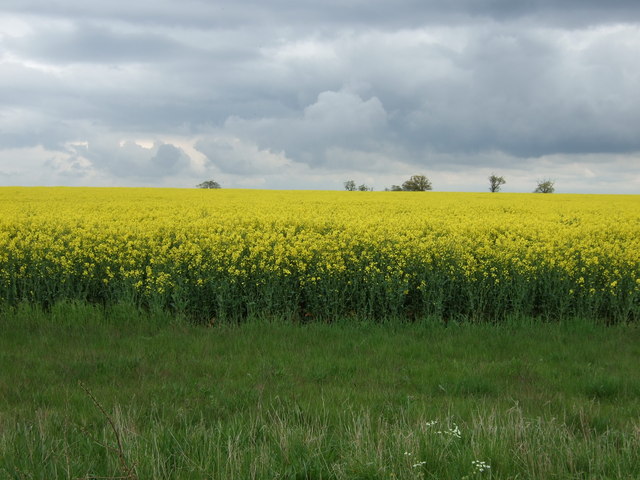
Leeds Wood Images
Images are sourced within 2km of 52.277967/0.7638275 or Grid Reference TL8868. Thanks to Geograph Open Source API. All images are credited.
Leeds Wood is located at Grid Ref: TL8868 (Lat: 52.277967, Lng: 0.7638275)
Administrative County: Suffolk
District: West Suffolk
Police Authority: Suffolk
What 3 Words
///tycoons.soonest.tadpoles. Near Great Barton, Suffolk
Nearby Locations
Related Wikis

Conyer's Green
Conyer's Green is a village in the civil parish of Great Barton, in the West Suffolk district, in the county of Suffolk, England.

Great Barton
Great Barton is a large village and civil parish in the West Suffolk district of Suffolk, England, about 3 miles (5 km) East of Bury St Edmunds on the...

Timworth
Timworth is a village and civil parish 65 mi (105 km) north east of London and 26 mi (42 km) east of Cambridge in the West Suffolk district of Suffolk...
Great Livermere
Great Livermere is a village and civil parish in the West Suffolk district of Suffolk in eastern England. It is located around four miles north-east of...
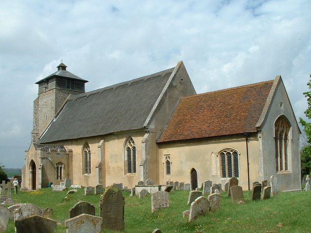
Fornham St Martin
Fornham St Martin is a village and civil parish in the West Suffolk district of Suffolk in eastern England. Located on the northern outskirts of Bury St...
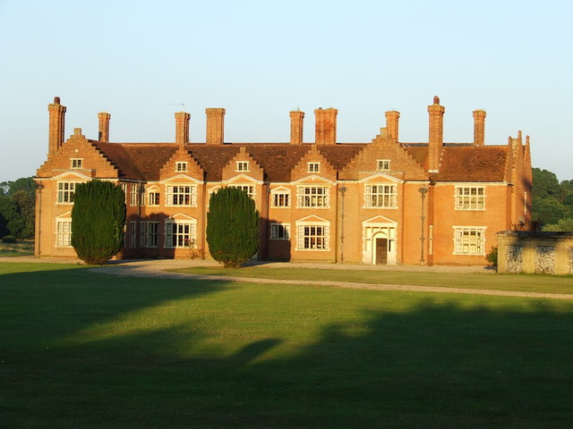
Ampton Hall
Ampton Hall is a Grade II-listed Jacobean style manor house in Ampton, Suffolk, England. Ampton Hall was the birthplace in 1805 of Robert FitzRoy, who...

Ampton
Ampton is a village and civil parish in the West Suffolk District of Suffolk, England, about five miles north of Bury St Edmunds. According to Eilert Ekwall...

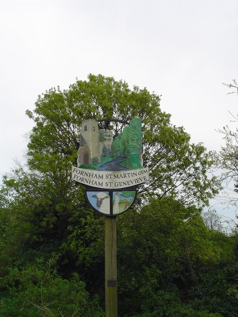
Fornham St Genevieve
Fornham St Genevieve is a village and civil parish in the West Suffolk district of Suffolk in eastern England. It is one of a trio of contiguous villages...
Nearby Amenities
Located within 500m of 52.277967,0.7638275Have you been to Leeds Wood?
Leave your review of Leeds Wood below (or comments, questions and feedback).