Holyhouse Belt
Wood, Forest in Suffolk West Suffolk
England
Holyhouse Belt
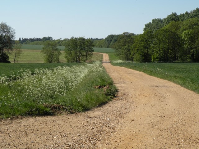
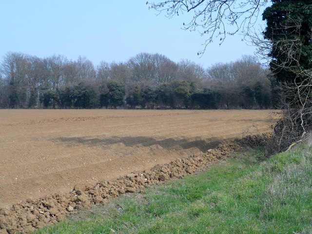
Holyhouse Belt is a picturesque woodland area located in Suffolk, England. Covering a vast area of approximately 100 acres, it is a cherished natural treasure that offers a serene and tranquil escape from the hustle and bustle of everyday life.
The belt is predominantly composed of ancient woodland, which means that it has remained relatively untouched for centuries. The trees that make up this enchanting forest include oak, beech, birch, and ash, among others. The thick canopy of foliage creates a cool and shaded environment, perfect for leisurely walks or picnics on hot summer days.
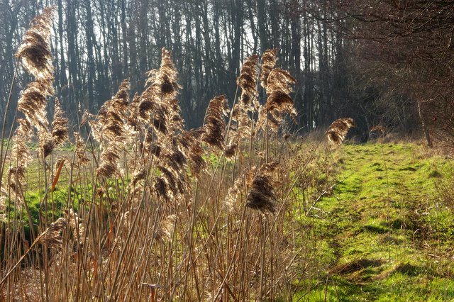
The forest floor is carpeted with a rich variety of flora, including bluebells, primroses, and wild garlic, which add splashes of vibrant color to the landscape during the spring and summer months. It is also home to a diverse range of wildlife, such as deer, squirrels, badgers, and numerous species of birds, making it a haven for nature enthusiasts and birdwatchers.
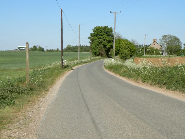
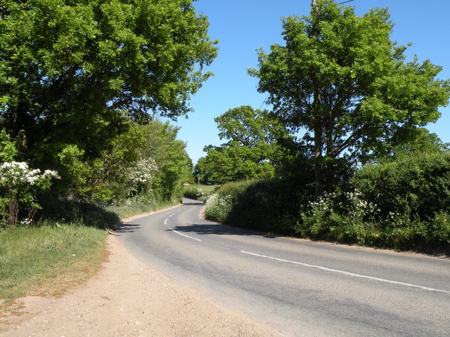
Holyhouse Belt has a network of well-maintained footpaths and trails that wind their way through the woods, allowing visitors to explore its hidden corners and discover its natural wonders. The peaceful atmosphere and the gentle rustling of leaves create a sense of tranquility and provide the perfect backdrop for those seeking relaxation or a peaceful retreat.
Whether it's a leisurely stroll, a family outing, or simply a desire to connect with nature, Holyhouse Belt in Suffolk offers an idyllic setting for all. With its ancient woodlands, diverse wildlife, and natural beauty, it is a place where visitors can truly immerse themselves in the wonders of the great outdoors.
If you have any feedback on the listing, please let us know in the comments section below.
Holyhouse Belt Images
Images are sourced within 2km of 52.281975/0.75548472 or Grid Reference TL8868. Thanks to Geograph Open Source API. All images are credited.


Holyhouse Belt is located at Grid Ref: TL8868 (Lat: 52.281975, Lng: 0.75548472)
Administrative County: Suffolk
District: West Suffolk
Police Authority: Suffolk
What 3 Words
///violinist.round.unrealistic. Near Great Barton, Suffolk
Nearby Locations
Related Wikis

Conyer's Green
Conyer's Green is a village in the civil parish of Great Barton, in the West Suffolk district, in the county of Suffolk, England.

Great Barton
Great Barton is a large village and civil parish in the West Suffolk district of Suffolk, England, about 3 miles (5 km) East of Bury St Edmunds on the...

Timworth
Timworth is a village and civil parish 65 mi (105 km) north east of London and 26 mi (42 km) east of Cambridge in the West Suffolk district of Suffolk...
Great Livermere
Great Livermere is a village and civil parish in the West Suffolk district of Suffolk in eastern England. It is located around four miles north-east of...
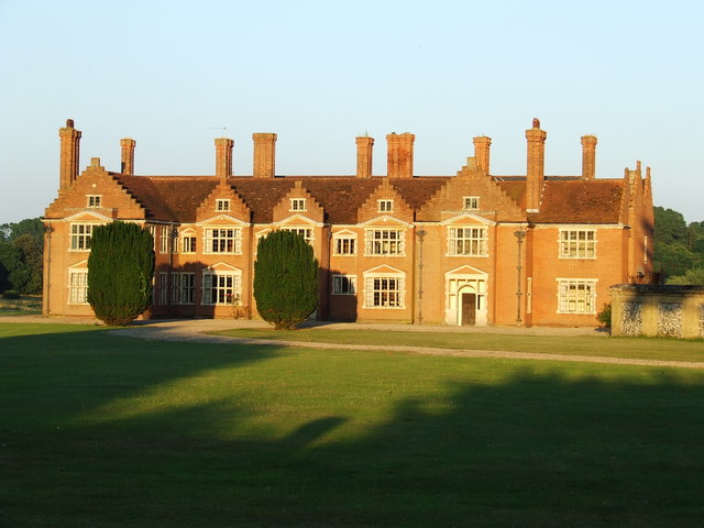
Ampton Hall
Ampton Hall is a Grade II-listed Jacobean style manor house in Ampton, Suffolk, England. Ampton Hall was the birthplace in 1805 of Robert FitzRoy, who...

Ampton
Ampton is a village and civil parish in the West Suffolk District of Suffolk, England, about five miles north of Bury St Edmunds. According to Eilert Ekwall...
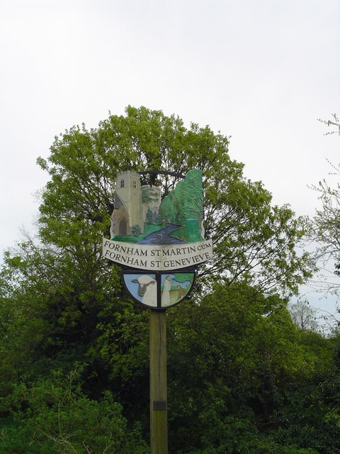
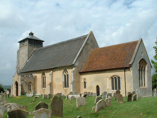
Fornham St Martin
Fornham St Martin is a village and civil parish in the West Suffolk district of Suffolk in eastern England. Located on the northern outskirts of Bury St...

Fornham St Genevieve
Fornham St Genevieve is a village and civil parish in the West Suffolk district of Suffolk in eastern England. It is one of a trio of contiguous villages...
Nearby Amenities
Located within 500m of 52.281975,0.75548472Have you been to Holyhouse Belt?
Leave your review of Holyhouse Belt below (or comments, questions and feedback).