Furzefield Plantation
Wood, Forest in Suffolk West Suffolk
England
Furzefield Plantation
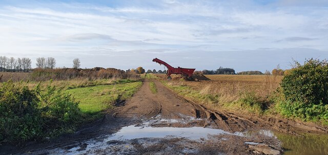
Furzefield Plantation is a picturesque woodland situated in the county of Suffolk, England. Spanning over a vast area, it is a haven for nature enthusiasts and offers a tranquil escape from the bustling city life. The plantation is easily accessible and located near the village of Woodbridge.
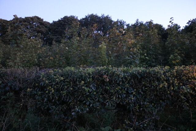
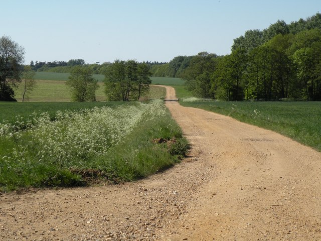
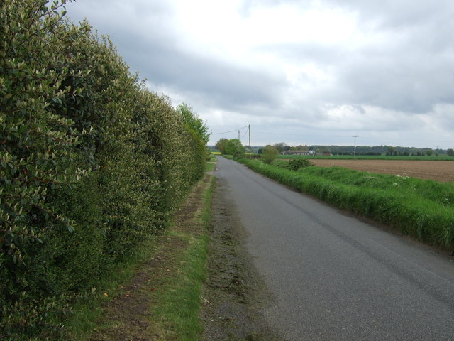
The woodland is predominantly composed of native tree species such as oak, birch, and beech. These towering trees create a dense canopy that provides shade and shelter for a diverse range of wildlife. Visitors can marvel at the vibrant colors of the changing leaves in autumn or enjoy the cool shade during the summer months.
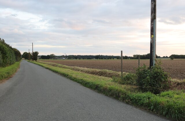
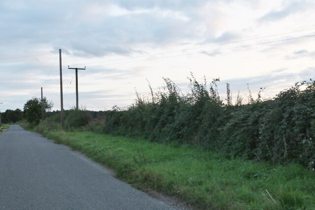
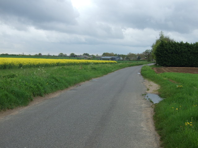
Furzefield Plantation boasts a network of well-maintained trails that wind through the woodland, allowing visitors to explore its beauty at their own pace. These paths are perfect for leisurely walks, jogging, or cycling. The plantation is also popular among dog walkers, providing ample space for pets to roam and play.
Birdwatchers will find a plethora of avian species inhabiting the woodland, including woodpeckers, jays, and various warblers. Additionally, the plantation is home to numerous mammals such as deer, rabbits, and squirrels, adding to the charm and natural diversity of the area.
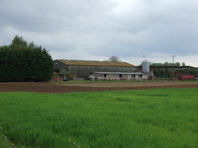
The management of Furzefield Plantation is committed to preserving its natural beauty and protecting its inhabitants. Conservation efforts include maintaining the forest floor, managing the tree population, and ensuring the sustainability of the woodland ecosystem.
Overall, Furzefield Plantation presents a serene and captivating environment where visitors can connect with nature and appreciate the beauty of Suffolk's woodlands.
If you have any feedback on the listing, please let us know in the comments section below.
Furzefield Plantation Images
Images are sourced within 2km of 52.280906/0.75889334 or Grid Reference TL8868. Thanks to Geograph Open Source API. All images are credited.


Furzefield Plantation is located at Grid Ref: TL8868 (Lat: 52.280906, Lng: 0.75889334)
Administrative County: Suffolk
District: West Suffolk
Police Authority: Suffolk
What 3 Words
///submit.inherits.courts. Near Great Barton, Suffolk
Nearby Locations
Related Wikis

Conyer's Green
Conyer's Green is a village in the civil parish of Great Barton, in the West Suffolk district, in the county of Suffolk, England.

Great Barton
Great Barton is a large village and civil parish in the West Suffolk district of Suffolk, England, about 3 miles (5 km) East of Bury St Edmunds on the...

Timworth
Timworth is a village and civil parish 65 mi (105 km) north east of London and 26 mi (42 km) east of Cambridge in the West Suffolk district of Suffolk...
Great Livermere
Great Livermere is a village and civil parish in the West Suffolk district of Suffolk in eastern England. It is located around four miles north-east of...
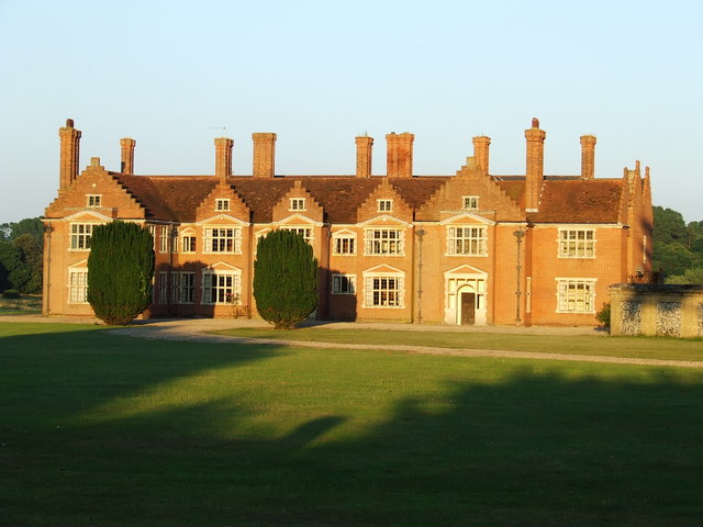
Ampton Hall
Ampton Hall is a Grade II-listed Jacobean style manor house in Ampton, Suffolk, England. Ampton Hall was the birthplace in 1805 of Robert FitzRoy, who...
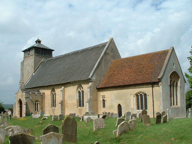
Fornham St Martin
Fornham St Martin is a village and civil parish in the West Suffolk district of Suffolk in eastern England. Located on the northern outskirts of Bury St...

Ampton
Ampton is a village and civil parish in the West Suffolk District of Suffolk, England, about five miles north of Bury St Edmunds. According to Eilert Ekwall...

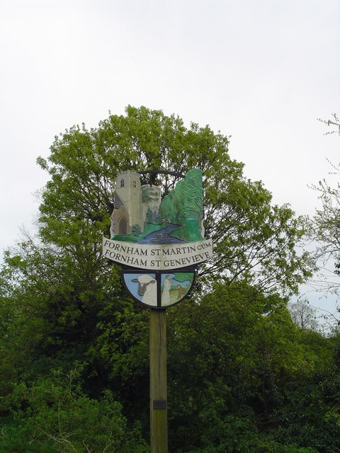
Fornham St Genevieve
Fornham St Genevieve is a village and civil parish in the West Suffolk district of Suffolk in eastern England. It is one of a trio of contiguous villages...
Nearby Amenities
Located within 500m of 52.280906,0.75889334Have you been to Furzefield Plantation?
Leave your review of Furzefield Plantation below (or comments, questions and feedback).