Jubilee Covert
Wood, Forest in Norfolk Breckland
England
Jubilee Covert
Jubilee Covert is a picturesque woodland area located in Norfolk, England. This enchanting forest is situated in close proximity to the village of Wood, making it easily accessible for locals and tourists alike. With its serene atmosphere and abundance of natural beauty, Jubilee Covert offers a peaceful retreat away from the hustle and bustle of everyday life.
The woodland is characterized by its diverse range of trees, including oak, beech, and silver birch, which create a stunning canopy overhead. These trees provide a habitat for numerous bird species, such as woodpeckers and owls, making it a popular spot for birdwatchers. Additionally, the forest floor is adorned with an array of wildflowers and ferns, adding to the overall charm of the area.
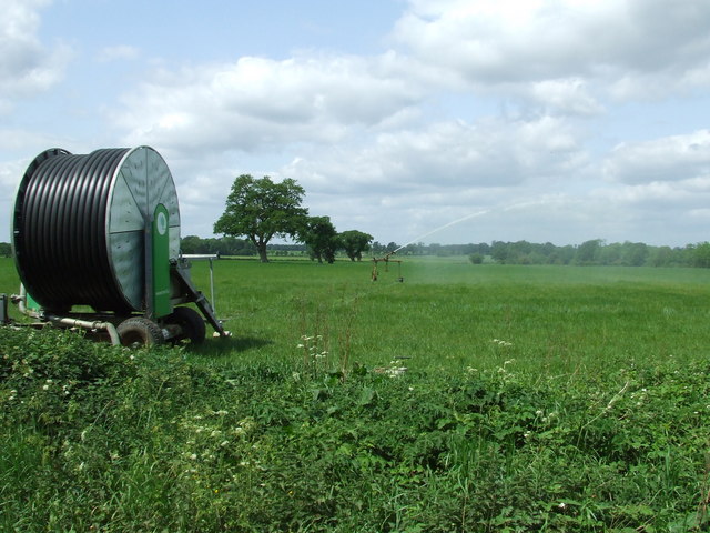
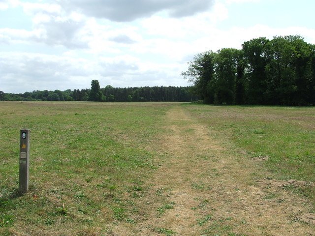
Jubilee Covert boasts a network of well-maintained walking trails, allowing visitors to explore its hidden treasures at their own pace. These paths wind through the woods, offering glimpses of tranquil ponds and babbling brooks along the way. Nature enthusiasts can also spot a variety of wildlife, including deer, foxes, and rabbits, adding to the enchantment of the forest.
The forest is an ideal location for outdoor activities such as picnicking, photography, and nature walks. It provides a peaceful and serene environment for visitors to unwind, connect with nature, and enjoy the beauty of the Norfolk countryside. With its idyllic setting and abundant wildlife, Jubilee Covert is a must-visit destination for anyone seeking a tranquil escape in the heart of nature.
If you have any feedback on the listing, please let us know in the comments section below.
Jubilee Covert Images
Images are sourced within 2km of 52.545407/0.78050355 or Grid Reference TL8897. Thanks to Geograph Open Source API. All images are credited.


Jubilee Covert is located at Grid Ref: TL8897 (Lat: 52.545407, Lng: 0.78050355)
Administrative County: Norfolk
District: Breckland
Police Authority: Norfolk
What 3 Words
///reserved.doubts.verges. Near Watton, Norfolk
Nearby Locations
Related Wikis
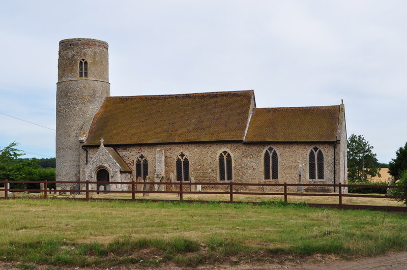
Merton, Norfolk
Merton is a civil parish in the English county of Norfolk. It covers an area of 5.94 km2 (2.29 sq mi) and had a population of 113 in 50 households at the...
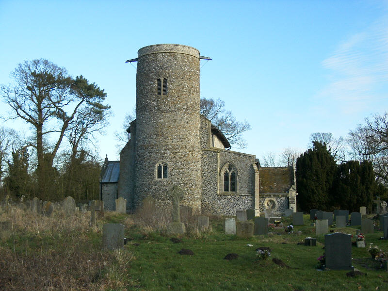
Threxton, All Saints
Threxton All Saints is a round-tower church at Threxton Hill, situated east of the village of Little Cressingham and west of the town of Watton in the...

Tottington, Norfolk
Tottington is a deserted village and civil parish in the English county of Norfolk. It is situated some 6.2 miles (10.0 km) north of the town of Thetford...
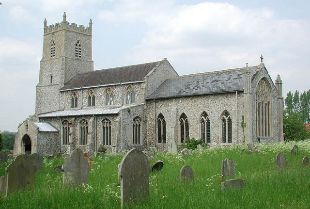
Great Cressingham
Great Cressingham is a Norfolk village which lies about 5 miles (8 km) of Watton, 6 miles (10 km) south of Swaffham and only 1.5 miles (2.4 km) off the...
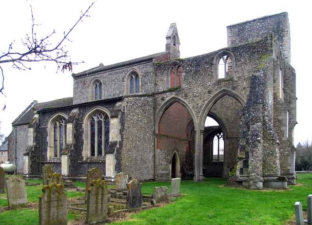
Little Cressingham
Little Cressingham lies 2.5 miles (4.0 km) south east by road from Great Cressingham, 3 miles (4.8 km) west of Watton and 8 miles (13 km) south of Swaffham...

Merton Hall, Norfolk
Merton Hall is a 19th century country house in Merton, Norfolk, England. The extant north-west wing is a Grade II listed building. The 17th-century gatehouse...

Stanford Training Area
The Stanford Training Area (STANTA), originally known as the Stanford Battle Area, is a British Army training area situated in the English county of Norfolk...
Wayland Academy, Watton
Wayland Academy (formerly Wayland Community High School) is a small mixed secondary school located in Watton in the English county of Norfolk. It is part...
Have you been to Jubilee Covert?
Leave your review of Jubilee Covert below (or comments, questions and feedback).