Cock Street
Settlement in Suffolk Babergh
England
Cock Street
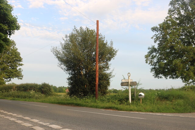
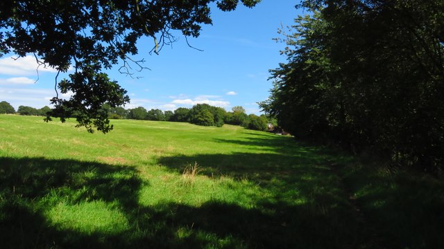
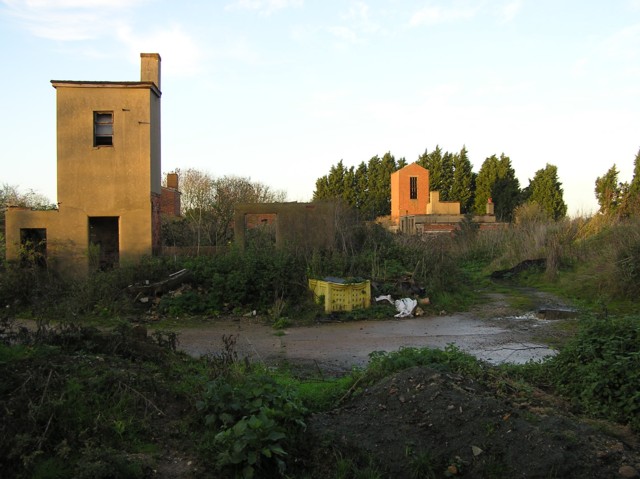
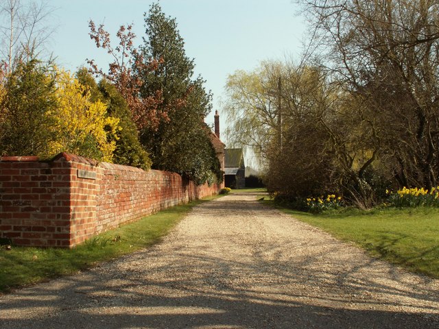
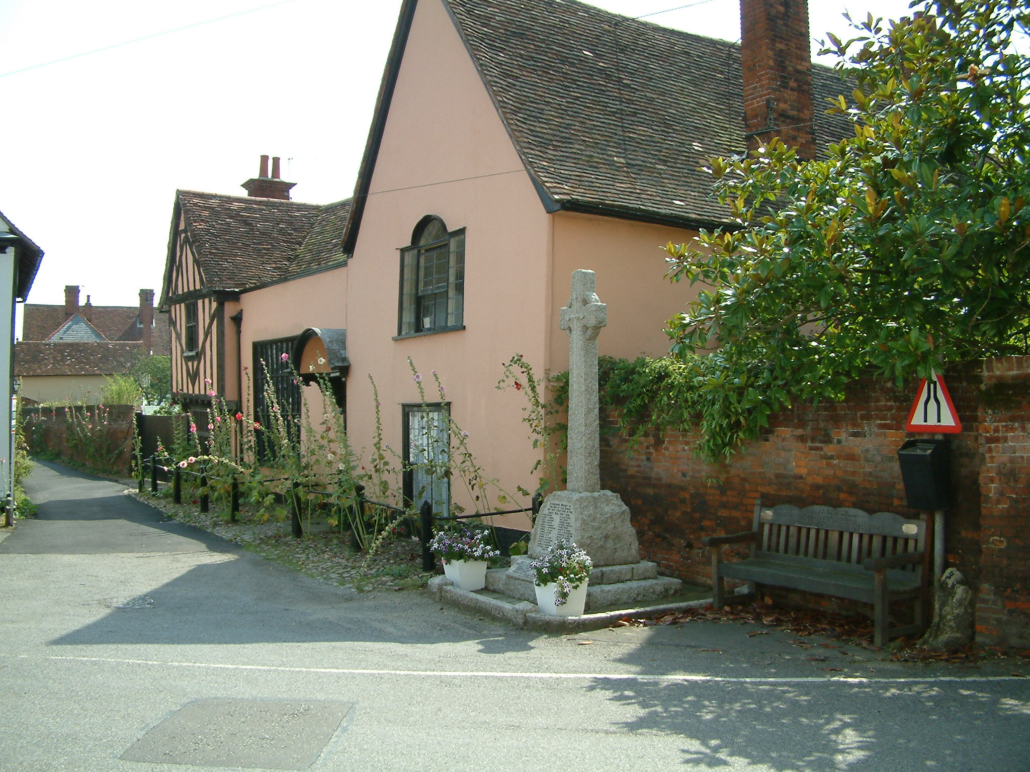
Cock Street is a small village located in Suffolk, England. It is situated in the countryside, surrounded by rolling green fields and farms. The village is known for its quaint and peaceful atmosphere, making it a popular destination for those looking to escape the hustle and bustle of city life.
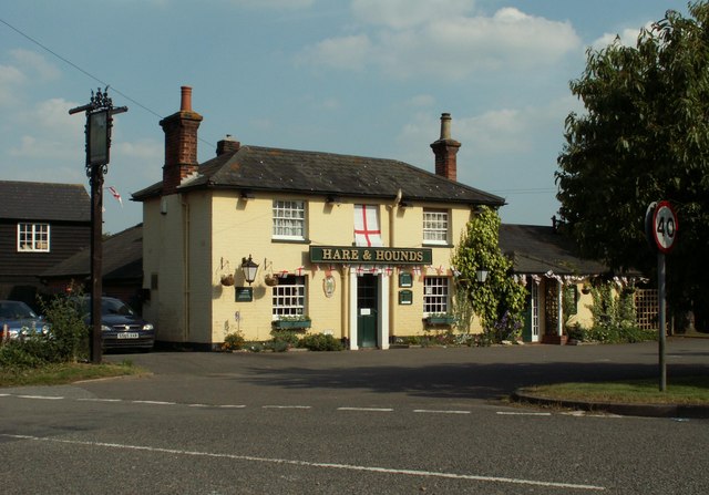
Cock Street is home to a small community of residents who take pride in maintaining the village's charm and character. The village is dotted with traditional thatched cottages, giving it a picturesque and timeless feel. There is also a local pub in the village, where residents and visitors alike can enjoy a pint and some good conversation.
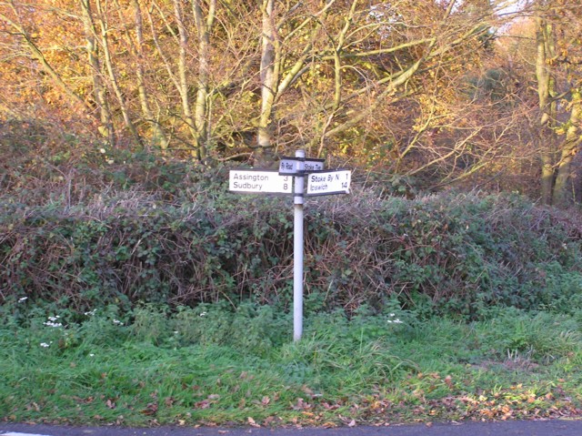
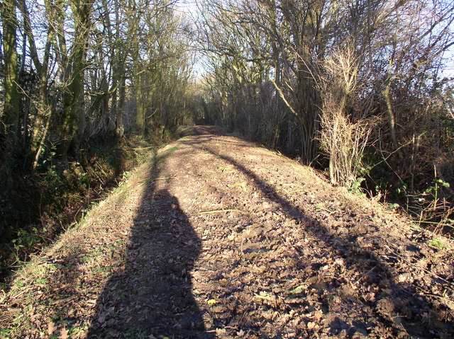
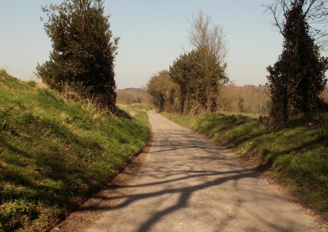
The surrounding area of Cock Street offers plenty of opportunities for outdoor activities such as walking, cycling, and horseback riding. The village is also conveniently located near the town of Bury St. Edmunds, where residents can find a wider range of amenities and services.
Overall, Cock Street is a peaceful and idyllic village that offers a true taste of rural English life. Its charming atmosphere and beautiful surroundings make it a delightful place to visit or call home.
If you have any feedback on the listing, please let us know in the comments section below.
Cock Street Images
Images are sourced within 2km of 51.989855/0.85618481 or Grid Reference TL9636. Thanks to Geograph Open Source API. All images are credited.


Cock Street is located at Grid Ref: TL9636 (Lat: 51.989855, Lng: 0.85618481)
Administrative County: Suffolk
District: Babergh
Police Authority: Suffolk
What 3 Words
///fired.deriving.human. Near Bures St Mary, Suffolk
Nearby Locations
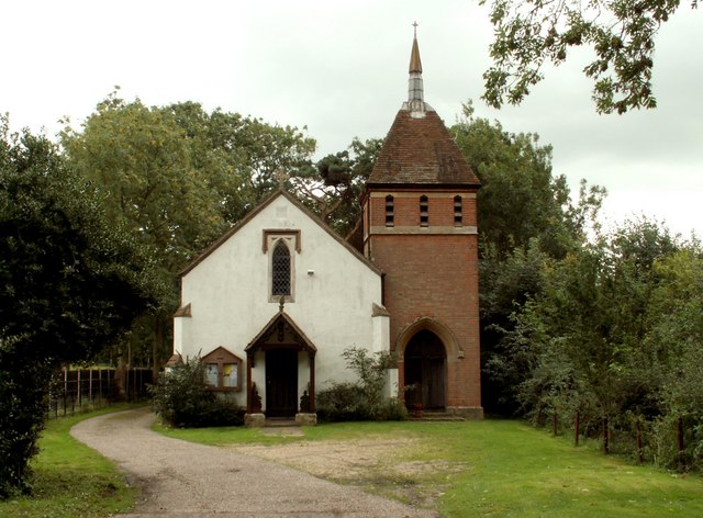
Related Wikis
Leavenheath
Leavenheath is a village and civil parish in Suffolk, England, close to the Essex border. Located on the A134 between Sudbury and Colchester, it is part...

Nayland-with-Wissington
Nayland-with-Wissington is a civil parish which comprises the larger village of Nayland and the adjoining rural village of Wissington (these days usually...
Nayland
Nayland is a village and former civil parish, now in the parish of Nayland-with-Wissington, in the Babergh district, in the county of Suffolk, England...

St Mary's Church, Stoke-by-Nayland
St Mary's Church is a Grade I listed parish church in the Church of England in Stoke-by-Nayland. == History == The earliest parts of the church date from...
Nearby Amenities
Located within 500m of 51.989855,0.85618481Have you been to Cock Street?
Leave your review of Cock Street below (or comments, questions and feedback).