Cock Hill
Settlement in Yorkshire Harrogate
England
Cock Hill
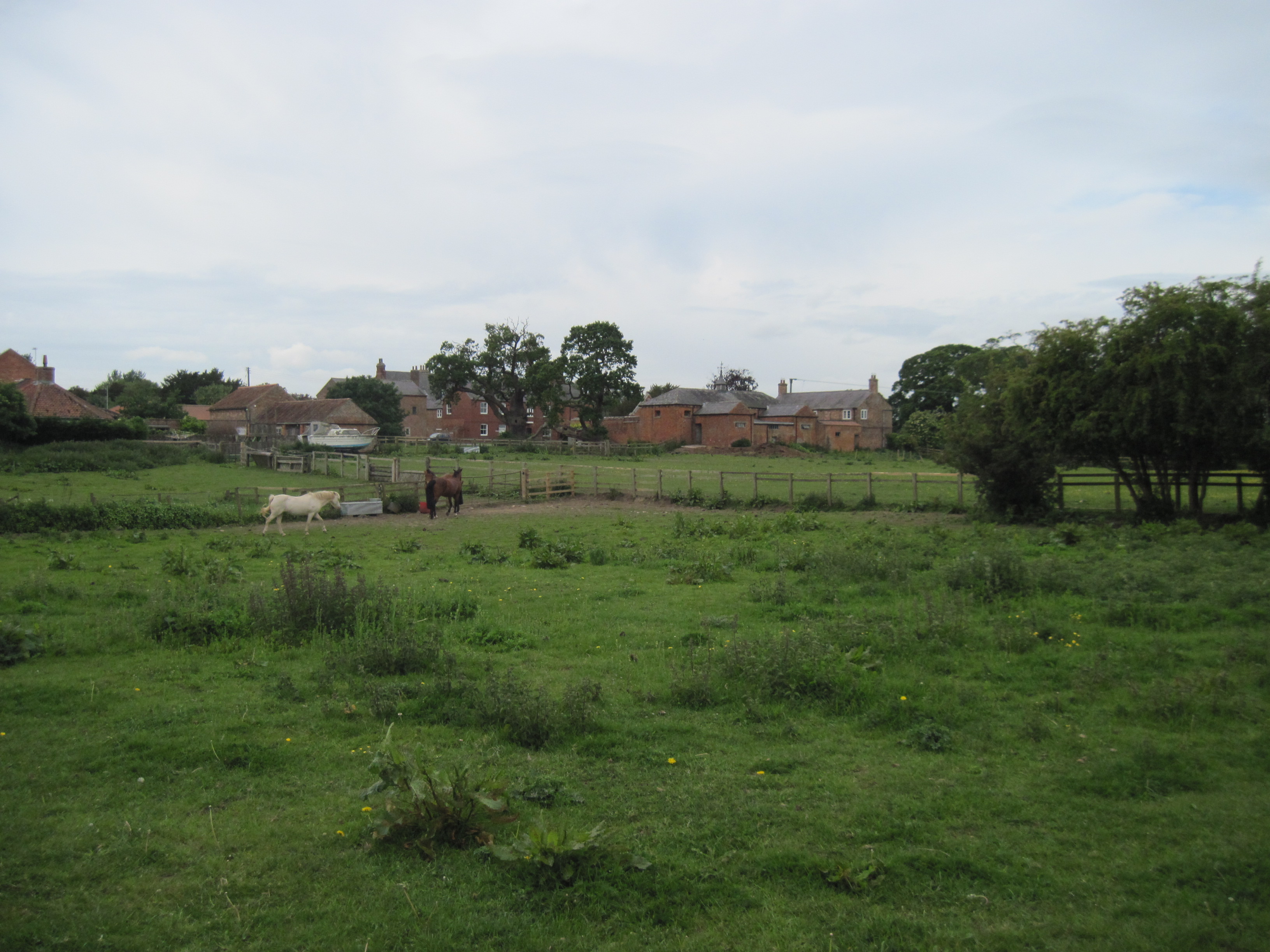
Cock Hill is a small village situated in the heart of Yorkshire, England. Located in the county of West Yorkshire, it is nestled amidst the picturesque landscape of rolling hills and lush green fields. The village is known for its tranquil and idyllic setting, offering residents and visitors a peaceful retreat away from the hustle and bustle of city life.
With a population of approximately 500 inhabitants, Cock Hill maintains a close-knit community atmosphere, where neighbors know each other by name and a strong sense of camaraderie is felt throughout the village. The architecture in Cock Hill reflects its rich history, with charming cottages and traditional stone-built houses lining the streets.
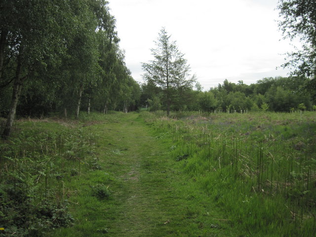
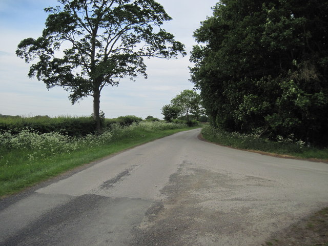
Surrounded by stunning countryside, Cock Hill provides ample opportunities for outdoor activities and exploration. The village is located near several nature reserves and walking trails, making it an ideal destination for hikers, nature enthusiasts, and birdwatchers. The nearby Cock Hill Reservoir is a popular spot for fishing and boating, attracting both locals and tourists alike.
Despite its small size, Cock Hill is well-served by amenities and facilities. The village boasts a local pub, a community center, and a primary school, providing essential services and places for social gatherings. For more extensive shopping and entertainment options, the larger towns of Huddersfield and Halifax are within easy reach.
In summary, Cock Hill is a charming village in Yorkshire that offers a peaceful and picturesque setting, a close-knit community, and a range of outdoor activities for residents and visitors to enjoy.
If you have any feedback on the listing, please let us know in the comments section below.
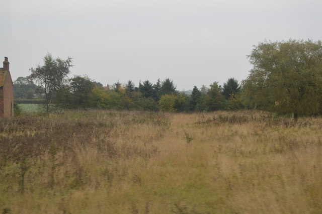
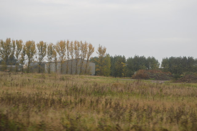
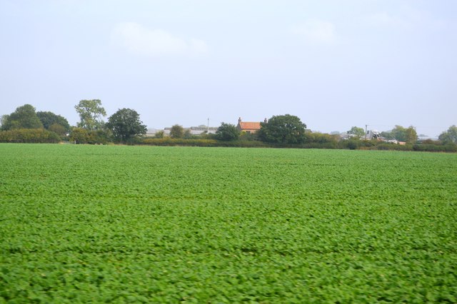
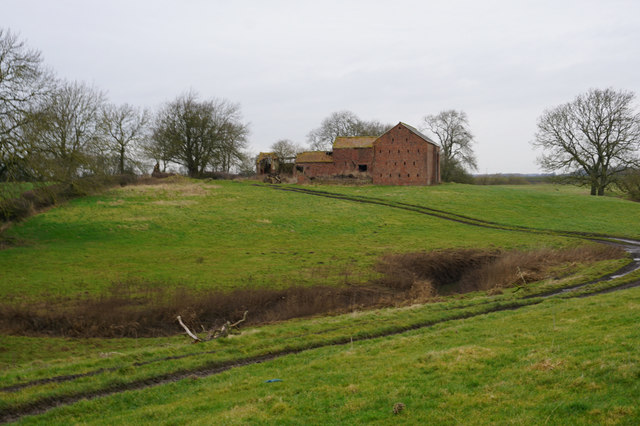
Cock Hill Images
Images are sourced within 2km of 53.992084/-1.215975 or Grid Reference SE5155. Thanks to Geograph Open Source API. All images are credited.


Cock Hill is located at Grid Ref: SE5155 (Lat: 53.992084, Lng: -1.215975)
Division: West Riding
Administrative County: North Yorkshire
District: Harrogate
Police Authority: North Yorkshire
What 3 Words
///waistcoat.alarmed.hacksaw. Near Nether Poppleton, North Yorkshire
Nearby Locations
Related Wikis

All Saints' Church, Moor Monkton
All Saints' Church is the parish church of Moor Monkton, a village north-west of York in England. The church dates from the 12th century, when the nave...

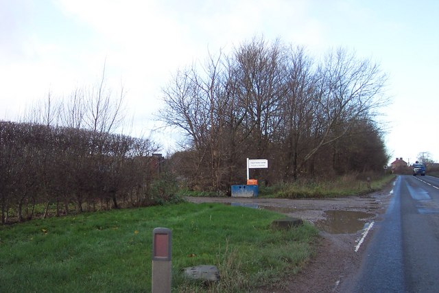
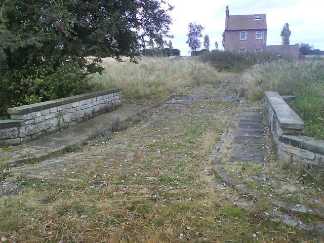
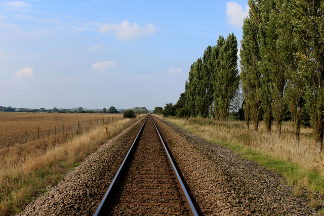
Marston Moor railway station
Marston Moor railway station served the village of Long Marston, North Yorkshire, England from 1848 to 1967 on the Harrogate line. == History == The station...

Moor Monkton
Moor Monkton is a village and civil parish in the former Harrogate District of North Yorkshire, England. It is situated on the River Nidd and 7 miles...

Hessay railway station
Hessay railway station served the village of Hessay, North Yorkshire, England from 1849 to 1964 on the Harrogate line. == History == The station opened...

Hessay
Hessay is a village and civil parish in the unitary authority area of the City of York, in the ceremonial county of North Yorkshire, England 4.7 miles...
Red House, Moor Monkton
The Red House is a historic building in Moor Monkton, north-west of York in England. == History == The first Red House was constructed before 1342, when...

River Nidd
The River Nidd is a tributary of the River Ouse in the English county of North Yorkshire. In its first few miles it is dammed three times to create Angram...

Nun Monkton
Nun Monkton is a village and civil parish in the Harrogate district of North Yorkshire, England. It is situated 8 miles (13 km) northwest of York at the...
Nearby Amenities
Located within 500m of 53.992084,-1.215975Have you been to Cock Hill?
Leave your review of Cock Hill below (or comments, questions and feedback).