Antony Passage

Settlement in Cornwall

England

Antony Passage

Shed near Burell Farm, Trematon Shed near Burell Farm, Trematon, near Saltash, Cornwall.
Shed near Burell Farm, Trematon Credit: Kevin Hale

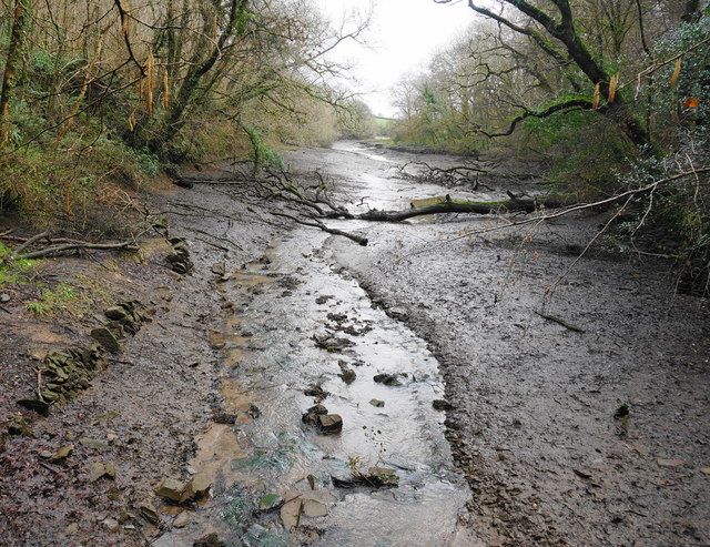
Antony Passage is a small village located in the county of Cornwall, England. Situated on the eastern bank of the River Lynher, it is known for its picturesque setting and rich history.

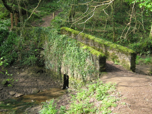
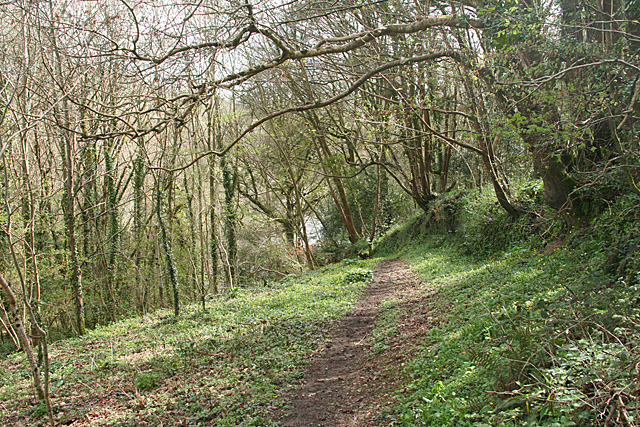
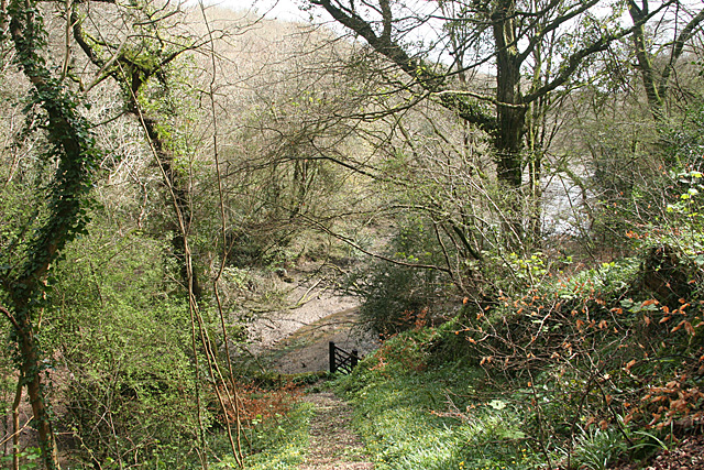
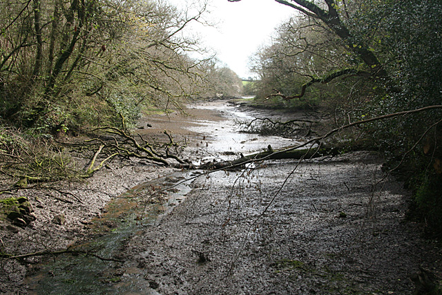
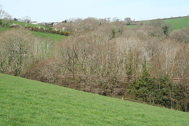
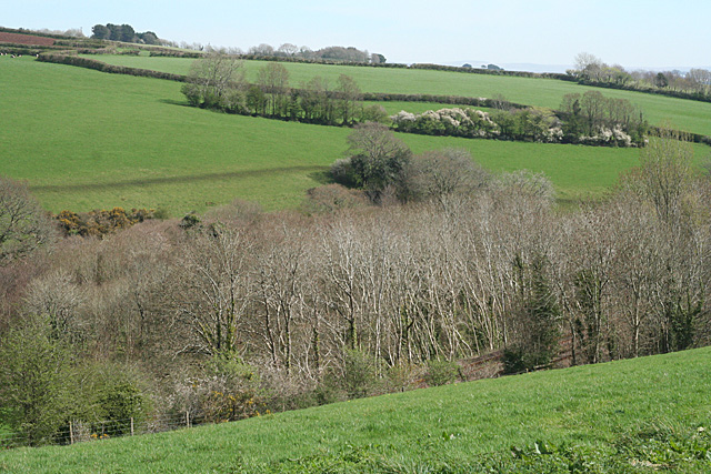
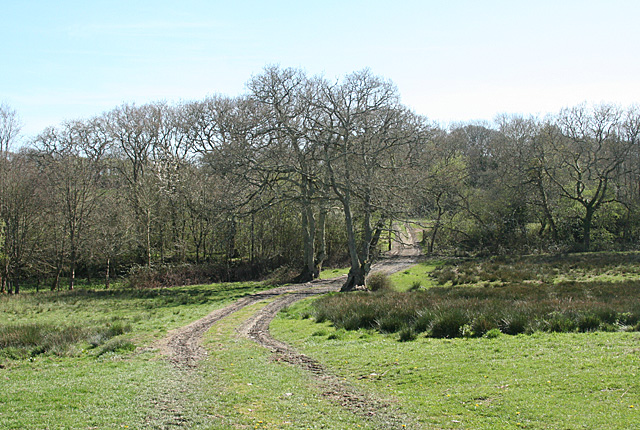
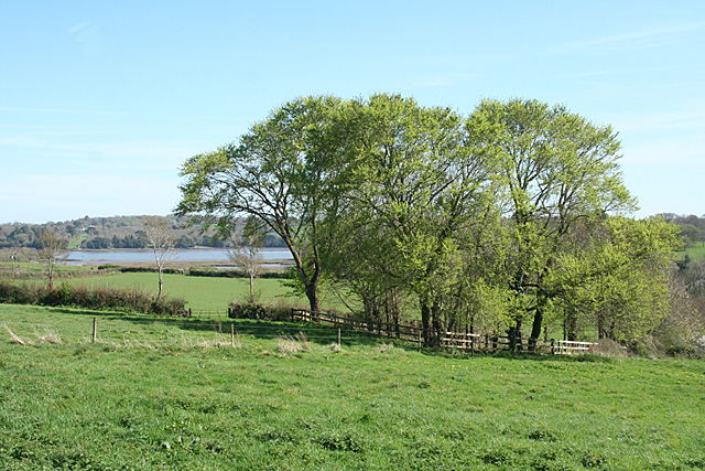
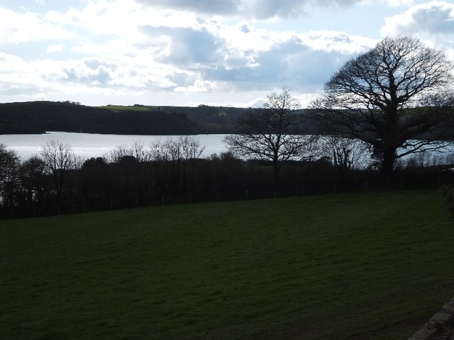
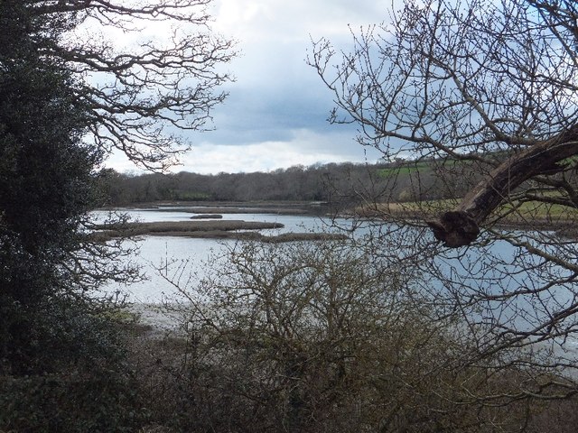
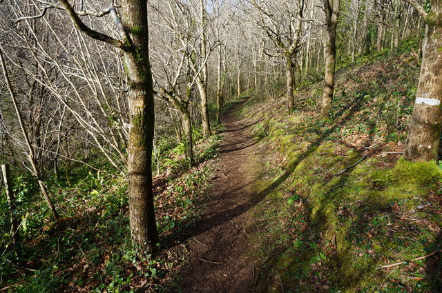
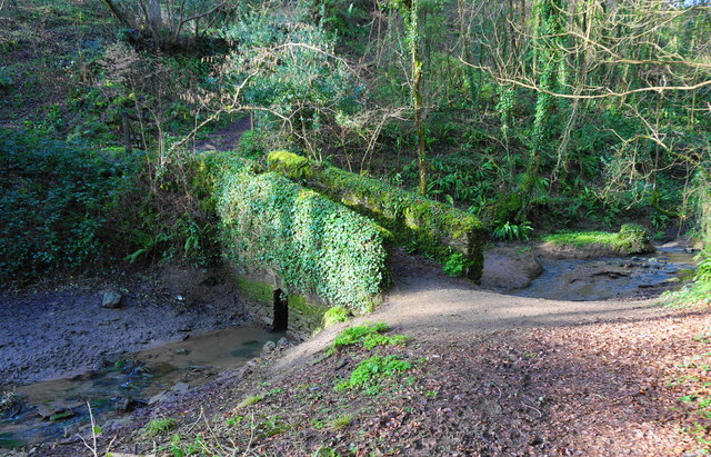
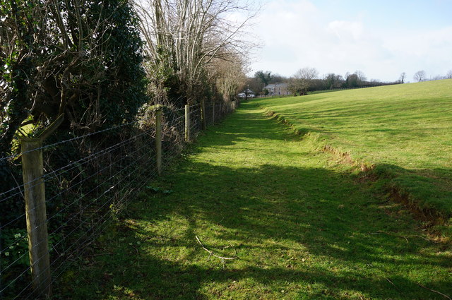
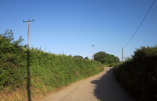
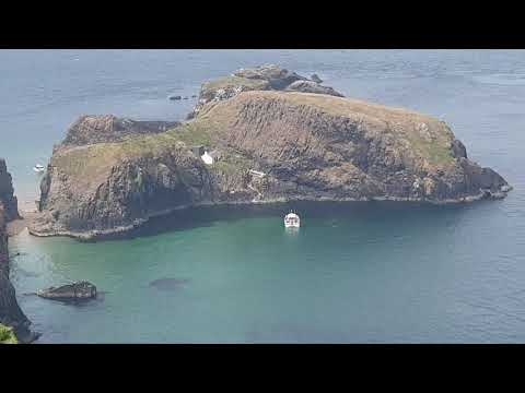
The village is surrounded by lush green landscapes, with rolling hills and meandering rivers adding to its natural charm. Antony Passage is particularly renowned for its stunning views of the river and its estuary, which provide a tranquil and peaceful atmosphere for locals and visitors alike.

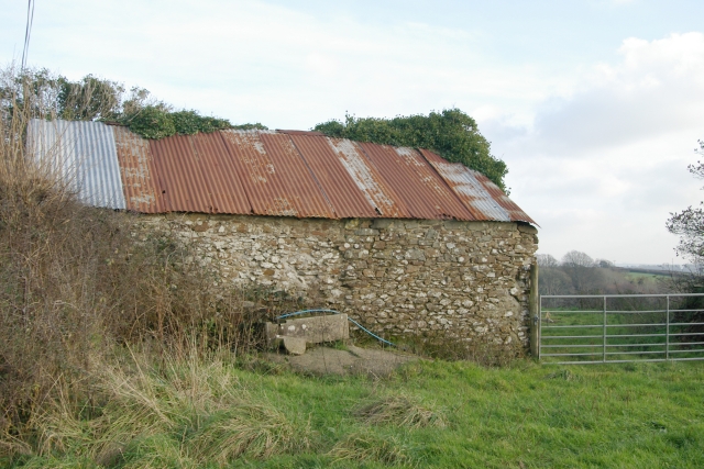
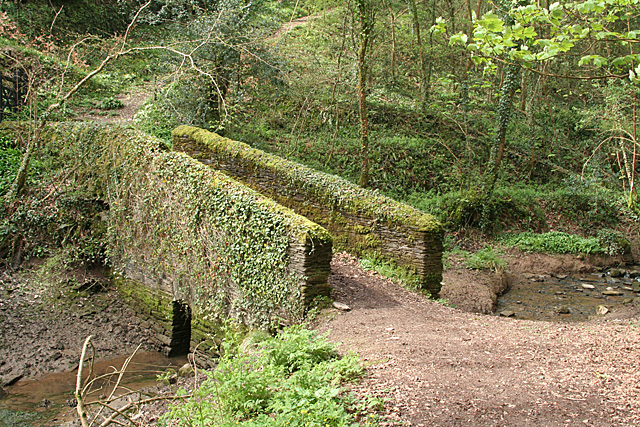
Historically, Antony Passage played an important role in Cornwall's maritime industry. The village was a hub for boat-building and fishing activities, and remnants of this maritime heritage can still be observed in the local architecture and infrastructure. The Antony House, a prominent Georgian mansion located nearby, is a popular attraction that showcases the area's historical significance.

Although Antony Passage is a small village, it offers a range of amenities and services to its residents. These include a local pub, a village hall, and a small convenience store. The village also benefits from its proximity to larger towns and cities, with Plymouth being just a short drive away.

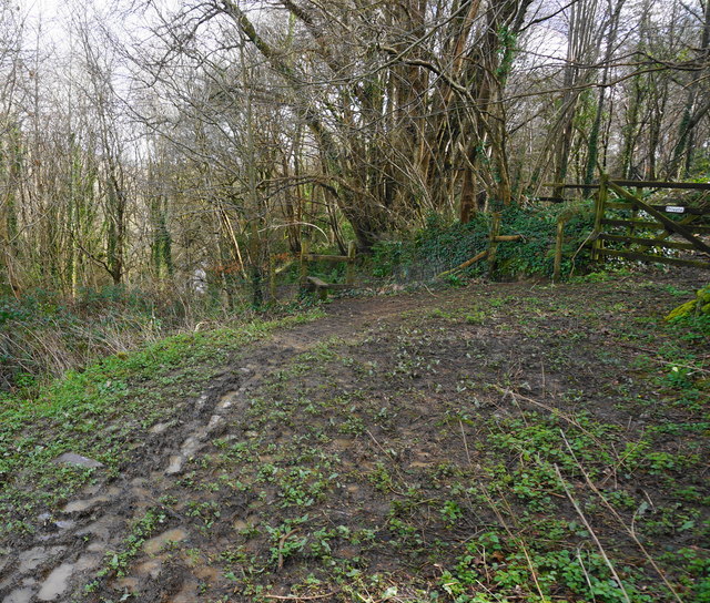
In terms of recreational activities, Antony Passage offers various opportunities for outdoor enthusiasts. The surrounding countryside provides ample walking trails and cycling routes, allowing visitors to immerse themselves in the natural beauty of the area. Additionally, the river is a popular spot for boating and fishing, attracting both locals and tourists who enjoy water-based activities.

Overall, Antony Passage is a charming village that combines natural beauty with a rich historical heritage, making it an ideal destination for those seeking a peaceful retreat in the heart of Cornwall.

If you have any feedback on the listing, please let us know in the comments section below.

Antony Passage Images

Images are sourced within 2km of 50.39413/-4.234034 or Grid Reference SX4157. Thanks to Geograph Open Source API. All images are credited.

Shed near Burell Farm, Trematon Shed near Burell Farm, Trematon, near Saltash, Cornwall.
Shed near Burell Farm, Trematon
Shed near Burell Farm, Trematon, near Saltash, Cornwall.
Footbridge at Wivelscombe This bridge lies on the footpath between Shillingham and Wivelscombe, that runs along the top of Wivelscombe creek.
Footbridge at Wivelscombe
This bridge lies on the footpath between Shillingham and Wivelscombe, that runs along the top of Wivelscombe creek.
Saltash: path from Elm Gate A public footpath leading to a creek, an arm of Wiveliscombe Lake. In Saltash parish
Saltash: path from Elm Gate
A public footpath leading to a creek, an arm of Wiveliscombe Lake. In Saltash parish
Saltash: nearing a creek Descending to an arm of Wiveliscombe Lake, in Saltash parish. Quite steep, but with steps cut in the public footpath
Saltash: nearing a creek
Descending to an arm of Wiveliscombe Lake, in Saltash parish. Quite steep, but with steps cut in the public footpath
Saltash: creek below railway An arm of Wiveliscombe Lake, by the edge of the Wiveliscombe estate. With the tide out
Saltash: creek below railway
An arm of Wiveliscombe Lake, by the edge of the Wiveliscombe estate. With the tide out
Saltash: bridge at head of creek Now used to carry a public footpath. The bridge stands at the normal tide limit, at the north west end of Wiveliscombe Lake, in Saltash parish
Saltash: bridge at head of creek
Now used to carry a public footpath. The bridge stands at the normal tide limit, at the north west end of Wiveliscombe Lake, in Saltash parish
Saltash: below Broadmoor The Great Western's 1908 deviation from Brunel's original Cornwall Railway route of 1859 crosses a wooded valley on a high embankment before entering a cutting to the west, on the approach to the 452-yard long Shillingham Tunnel, which was excavated through hard blue elvan rock. Looking up the valley towards Broadmoor; the embankment is partly shrouded by trees. In Saltash parish
Saltash: below Broadmoor
The Great Western's 1908 deviation from Brunel's original Cornwall Railway route of 1859 crosses a wooded valley on a high embankment before entering a cutting to the west, on the approach to the 452-yard long Shillingham Tunnel, which was excavated through hard blue elvan rock. Looking up the valley towards Broadmoor; the embankment is partly shrouded by trees. In Saltash parish
Saltash: towards the railway Looking down on the Plymouth-Penzance main line railway as it enters a cutting to the east of Shillingham Tunnel. The tree-lined route was opened in 1908, replacing the original Cornwall Railway which, opened in 1859, ran across creeks and salt marshes to the south. In Saltash parish
Saltash: towards the railway
Looking down on the Plymouth-Penzance main line railway as it enters a cutting to the east of Shillingham Tunnel. The tree-lined route was opened in 1908, replacing the original Cornwall Railway which, opened in 1859, ran across creeks and salt marshes to the south. In Saltash parish
Saltash: below Greeps Farm track crossing the route of the old Cornwall Railway, which was active between 1859 and 1908. The course of the railway is indicated by the line of trees running across the image. In Saltash parish
Saltash: below Greeps
Farm track crossing the route of the old Cornwall Railway, which was active between 1859 and 1908. The course of the railway is indicated by the line of trees running across the image. In Saltash parish
Saltash: towards the Lynher With trees in new leaf and the grounds of Antony House in the distance, on the far side of the Lynher estuary, well beyond the square. In Saltash parish
Saltash: towards the Lynher
With trees in new leaf and the grounds of Antony House in the distance, on the far side of the Lynher estuary, well beyond the square. In Saltash parish
St Germans River north of Antony from Ince Castle
Inlet north of Ince This inlet on the north, and the St Germans River on the south and east, create a peninsula over one kilometre long
Inlet north of Ince
This inlet on the north, and the St Germans River on the south and east, create a peninsula over one kilometre long
Path through young woodland The trees here are mostly young Oak and Beech.
Path through young woodland
The trees here are mostly young Oak and Beech.
Small footbridge Notice how small the exit for the stream is under the bridge, in times of heavy rain the stream comes over the bank on this side of the bridge. The bridge is in a small steep sided valley at the head of one arm of Wivelscombe Lake on the path between Shillingford Manor and Elm Gate.
Small footbridge
Notice how small the exit for the stream is under the bridge, in times of heavy rain the stream comes over the bank on this side of the bridge. The bridge is in a small steep sided valley at the head of one arm of Wivelscombe Lake on the path between Shillingford Manor and Elm Gate.
Path between Wivelscombe and Greeps At some stage this part of the footpath appears to have been some sort of track now grassed over. The isolated house ahead is at Greeps.
Path between Wivelscombe and Greeps
At some stage this part of the footpath appears to have been some sort of track now grassed over. The isolated house ahead is at Greeps.
Footpath to near Shillingham Manor Seen here just entering woodland above Wivelscombe Lake. Through the gate on right is private.
Footpath to near Shillingham Manor
Seen here just entering woodland above Wivelscombe Lake. Through the gate on right is private.
Part of Wivelscombe Lake Taken from the small bridge in a previous photo by me, looking up one arm of the tidal Wivelscombe Lake.
Part of Wivelscombe Lake
Taken from the small bridge in a previous photo by me, looking up one arm of the tidal Wivelscombe Lake.
Lane to Trematon Running between hedgebanks near Winstone Beacon.
Lane to Trematon
Running between hedgebanks near Winstone Beacon.
Show me another place!

Antony Passage is located at Grid Ref: SX4157 (Lat: 50.39413, Lng: -4.234034)

Unitary Authority: Cornwall

Police Authority: Devon and Cornwall

What 3 Words

///reshape.guilty.incursion. Near Saltash, Cornwall

Related Wikis

Antony Passage

Antony Passage is a hamlet in south-east Cornwall, England, UK. It stands beside the tidal section of the River Lynher (a tributary of the River Tamar...

Churchtown Farm

Churchtown Farm is a community nature reserve one mile south of Saltash, Cornwall, England. It is leased from Antony Estate and managed by Cornwall Wildlife...

Trematon Castle

Trematon Castle (Cornish: Kastel Tremen) is situated near Saltash in Cornwall, England, United Kingdom. It was the caput of the feudal barony of Trematon...

Forder, Cornwall

Forder is a village near Saltash in Cornwall, England.Forder viaduct was formerly at Milepost 252.25, 1.25 miles (2.0 km) west of Saltash (50.395087°N...

Trehan

Trehan is a hamlet near Saltash in Cornwall, England, United Kingdom. == References ==

Saltash Community School

Saltash Community School is a mixed 11 to 18 academy school established in its present form in 1965, in Saltash, Cornwall, England. The school was previously...

Maryfield, Cornwall

Maryfield is a hamlet north of Torpoint and east of Antony House in southeast Cornwall, England. == References ==

Wearde

Wearde is a southeastern suburb of Saltash in Cornwall, England, UK. == References ==

Related Videos

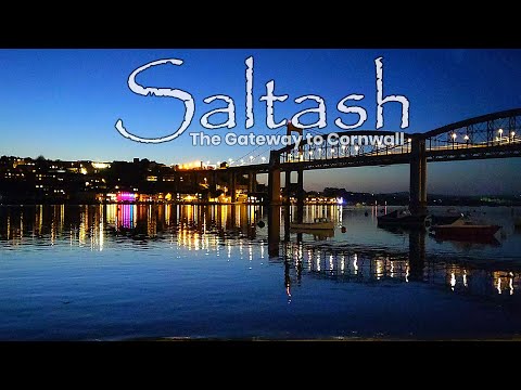
Saltash - The Gateway to Cornwall

In this video, I explore the beautiful town of Saltash in Cornwall, located right on the Cornish border and known as The Gateway to ...

Into the place where Alice on wonderland was been directed # #nationaltrust #aliceinwonderland

Just a half hour away from plymouth , a bit journey by ferry National Trust - Antony Location - Ferry Ln, Torpoint PL11 2QA.

Cornwall to Giants causeway via Cairnryan #vanlife. Featuring Port William, Benone, Lough Neagh

Cornwall to Giants causeway via Cairnryan #vanlife. Port William, Benone beach, Lough Neagh. music called "Memories " written ...

Saltash to Lynher Valley | Circular Walk | Cornwall

We headed down to Saltash for a quick easy local hike but it turned out to be an unexpected adventure.

Nearby Amenities

Located within 500m of 50.39413,-4.234034
Source: PGS
Lat/Long: 50.3922247/-4.2402938
Source: PGS
Lat/Long: 50.3925332/-4.2399355
Source: PGS
Lat/Long: 50.3926556/-4.2394312
Source: PGS
Lat/Long: 50.3929922/-4.2382553
Source: PGS
Lat/Long: 50.3933321/-4.2370162
Source: PGS
Lat/Long: 50.393488/-4.2359894
Source: PGS
Lat/Long: 50.393471/-4.2332244
Source: PGS
Lat/Long: 50.3934915/-4.2330547
Source: PGS
Lat/Long: 50.3935224/-4.2329983
Source: PGS
Lat/Long: 50.3936129/-4.2329075
Source: PGS
Lat/Long: 50.3941706/-4.2325814
Source: PGS
Lat/Long: 50.3944169/-4.2320128
Source: PGS
Lat/Long: 50.3947028/-4.2320326
Source: PGS
Lat/Long: 50.3949726/-4.2325061
Source: PGS
Lat/Long: 50.3951881/-4.2327198
Source: PGS
Lat/Long: 50.3954799/-4.2330938
Source: PGS
Lat/Long: 50.3959622/-4.2323802
Source: PGS
Lat/Long: 50.396125/-4.2323207
Source: PGS
Lat/Long: 50.3970627/-4.2334357
Source: PGS
Lat/Long: 50.3984201/-4.2330159
Source: PGS
Lat/Long: 50.3979748/-4.23259
Source: PGS
Lat/Long: 50.3978288/-4.2325705
Source: PGS
Lat/Long: 50.3976565/-4.2326846
Source: PGS
Lat/Long: 50.3974757/-4.2327075
Source: PGS
Lat/Long: 50.397142/-4.2322102
Source: PGS
Lat/Long: 50.3970142/-4.2317413
Source: PGS
Lat/Long: 50.3969252/-4.2301856
Source: PGS
Lat/Long: 50.3964204/-4.2298589
Source: PGS
Lat/Long: 50.3963443/-4.2301054
Source: PGS
Lat/Long: 50.3961858/-4.230515
Source: PGS
Lat/Long: 50.3958746/-4.2304778
Source: PGS
Lat/Long: 50.3955594/-4.230029
Source: PGS
Lat/Long: 50.3953624/-4.2295703
Source: PGS
Lat/Long: 50.3950318/-4.2296304
Source: PGS
Lat/Long: 50.394746/-4.2298017
Source: PGS
Lat/Long: 50.3942267/-4.2302334
Source: PGS
Lat/Long: 50.3941286/-4.230081
Source: PGS
Lat/Long: 50.3937735/-4.2299632
Source: PGS
Lat/Long: 50.3935195/-4.2297982
Source: PGS
Lat/Long: 50.3935418/-4.2289635
Source: PGS
Lat/Long: 50.3933619/-4.2287512
Source: PGS
Lat/Long: 50.3934478/-4.228012
Source: PGS
Lat/Long: 50.3905254/-4.2302673
Created By: almien_coastlines
Source: PGS
Lat/Long: 50.3902496/-4.23133
Created By: almien_coastlines
Source: PGS
Lat/Long: 50.3898631/-4.2319973
Antony Passage
Name En: Antony Passage
Name Kw: Trethanton
Place: hamlet
Wikidata: Q4777242
Lat/Long: 50.3943366/-4.2330419
Forder Lake
Place: locality
Lat/Long: 50.3964922/-4.2318671
Source: PGS
Lat/Long: 50.3932086/-4.228125
Source: PGS
Lat/Long: 50.3933616/-4.2290178
Source: PGS
Lat/Long: 50.3934585/-4.2281859
Source: PGS
Lat/Long: 50.3936663/-4.2294976
Power: pole
Lat/Long: 50.3968751/-4.2393333
Power: pole
Lat/Long: 50.3957859/-4.2391026
Power: pole
Lat/Long: 50.3949789/-4.2384562
Power: pole
Lat/Long: 50.3941923/-4.2379519
Location Transition: yes
Power: pole
Lat/Long: 50.3936657/-4.237445
Source: PGS
Lat/Long: 50.3976066/-4.2323522
Source: PGS
Lat/Long: 50.3979748/-4.23259
Source: PGS
Lat/Long: 50.3979748/-4.23259
Source: PGS
Lat/Long: 50.3977487/-4.2320383
Source: PGS
Lat/Long: 50.3976785/-4.2323636
Bench
Backrest: yes
Survey Date: 2022-03-20
Lat/Long: 50.3940123/-4.2284349
Fire Hydrant
Emergency: fire_hydrant
Fire Hydrant Type: underground
Survey Date: 2022-04-03
Lat/Long: 50.3951485/-4.2328583
Post Box
Collection Times: Mo-Fr 10:15; Sa 09:30
Post Box Type: lamp
Ref: PL12 549
Royal Cypher: EIIR
Royal Cypher Wikidata: Q33102113
Survey Date: 2022-04-03
Lat/Long: 50.3944703/-4.2320565
Fire Hydrant
Emergency: fire_hydrant
Fire Hydrant Type: underground
Survey Date: 2022-04-03
Lat/Long: 50.3965533/-4.2355948
Fire Hydrant
Emergency: fire_hydrant
Fire Hydrant Type: underground
Survey Date: 2022-04-03
Lat/Long: 50.3942031/-4.2327095
Barrier: stile
Lat/Long: 50.395647/-4.2405679
Barrier: stile
Lat/Long: 50.3936661/-4.2374558
Point Field
Place: locality
Lat/Long: 50.3945123/-4.2279005
The data included in this document is from www.openstreetmap.org. The data is made available under ODbL.

Have you been to Antony Passage?

Leave your review of Antony Passage below (or comments, questions and feedback).