Antonshill

Settlement in Stirlingshire

Scotland

Antonshill

Larbert Village Primary School This building, facing Main Street, opened in 1891 and has been refurbished twice. A new extension was built to the rear in 2009. 
(See <a href="https://www.geograph.org.uk/photo/7009645">NS8582 : Larbert Village Primary School, rear view</a>). 
The current pupil roll is just under 300 boys and girls aged 4 - 12.
Larbert Village Primary School Credit: Richard Dorrell

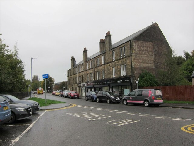
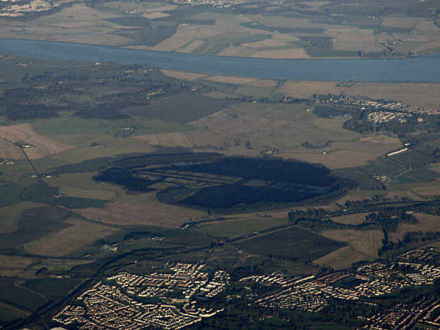
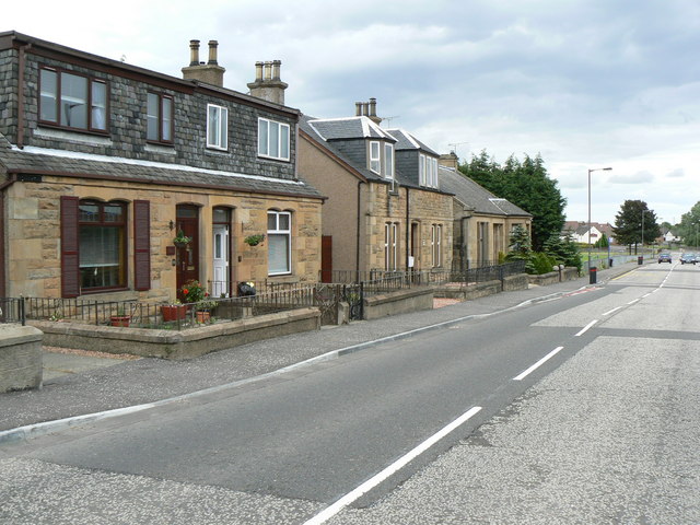
Antonshill is a small village located in the county of Stirlingshire, Scotland. Situated in the heart of the Central Lowlands, it lies approximately 4 miles southwest of Stirling city center. The village is nestled amidst picturesque landscapes, surrounded by rolling hills and lush green fields.

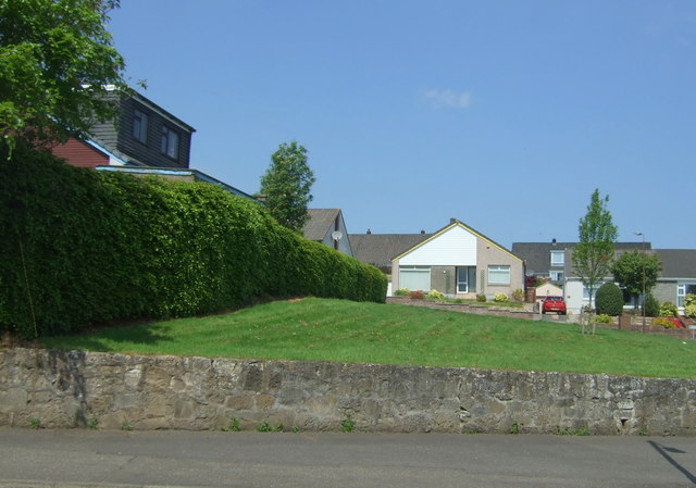
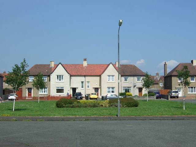
With a population of around 500 residents, Antonshill exudes a close-knit community atmosphere. The village primarily consists of residential areas, with housing ranging from quaint cottages to modern family homes. The architecture in Antonshill showcases a mix of traditional Scottish designs and contemporary styles.

Despite its small size, Antonshill offers several amenities to cater to the needs of its residents. These include a local primary school, a community center, and a small convenience store to cater for daily essentials. For further amenities, residents can easily access the nearby town of Stirling, which boasts a wide range of shops, supermarkets, restaurants, and recreational facilities.

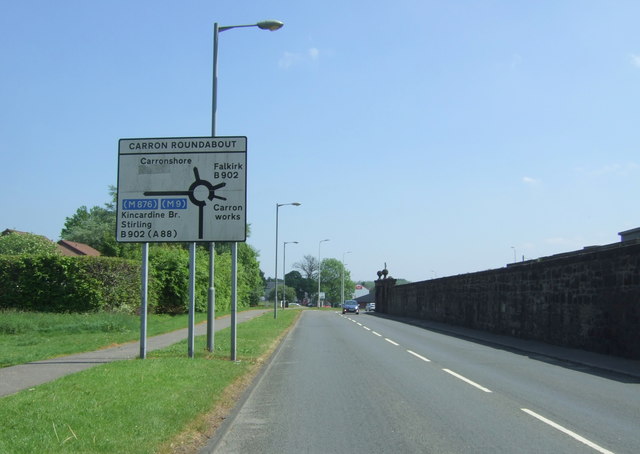
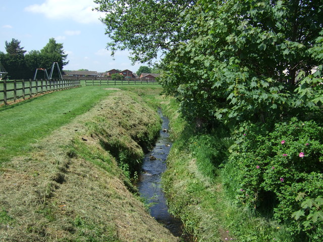
Nature enthusiasts are drawn to Antonshill due to its proximity to several stunning natural attractions. The village is located near the River Forth, offering opportunities for fishing and scenic walks along its banks. Additionally, the Ochil Hills are within reach, providing ample opportunities for hikers, cyclists, and nature lovers to explore the beautiful countryside.

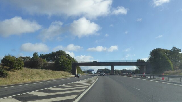
Antonshill benefits from excellent transport links, with regular bus services connecting the village to Stirling and surrounding areas. The nearby M9 motorway ensures easy access to major cities like Glasgow and Edinburgh, making Antonshill an appealing location for commuters.

Overall, Antonshill offers a peaceful and idyllic setting for residents seeking a tranquil village lifestyle, with the added advantage of being within close proximity to the amenities and attractions of Stirling.

If you have any feedback on the listing, please let us know in the comments section below.
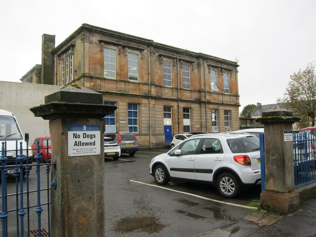
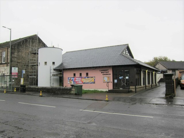
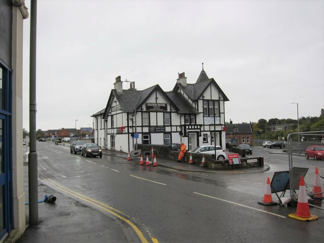
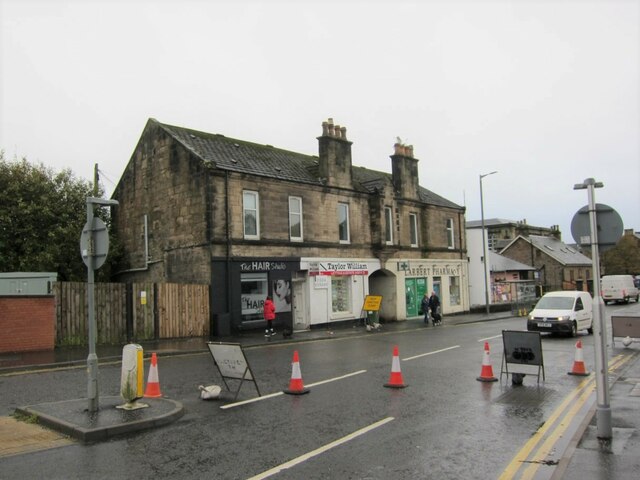
Antonshill Images

Images are sourced within 2km of 56.035575/-3.813544 or Grid Reference NS8783. Thanks to Geograph Open Source API. All images are credited.

Larbert Village Primary School This building, facing Main Street, opened in 1891 and has been refurbished twice. A new extension was built to the rear in 2009. 
(See <a href="https://www.geograph.org.uk/photo/7009645">NS8582 : Larbert Village Primary School, rear view</a>). 
The current pupil roll is just under 300 boys and girls aged 4 - 12.
Larbert Village Primary School
This building, facing Main Street, opened in 1891 and has been refurbished twice. A new extension was built to the rear in 2009. (See NS8582 : Larbert Village Primary School, rear view). The current pupil roll is just under 300 boys and girls aged 4 - 12.
Larbert Baptist Church Located in Main Street.
Larbert Baptist Church
Located in Main Street.
Station Hotel, Larbert The business was established in 1856.
Station Hotel, Larbert
The business was established in 1856.
Building in Main Street The coaching arch (?) and not-quite symmetrical architecture of this building caught my eye.
Building in Main Street
The coaching arch (?) and not-quite symmetrical architecture of this building caught my eye.
Businesses and flats, Muirhall Road Looking north from the exit from the station car park.
The building is Gillespie Terrace, and has a large ghost sign painted on the gable end - closer view: <a href="https://www.geograph.org.uk/photo/7009675">NS8682 : Ghost sign, Larbert</a>.
Businesses and flats, Muirhall Road
Looking north from the exit from the station car park. The building is Gillespie Terrace, and has a large ghost sign painted on the gable end - closer view: NS8682 : Ghost sign, Larbert.
Ghost sign, Larbert A sign has been painted on the gable end of this building in Muirhall Road. The building is named Gillespie Terrace. The sign is almost illegible, but could start with the name 'Gillespie' and the third word is 'grocer', so I suspect the terrace was named after a business that operated here.
Wider view of building: <a href="https://www.geograph.org.uk/photo/7009670">NS8682 : Businesses and flats, Muirhall Road</a>.
Ghost sign, Larbert
A sign has been painted on the gable end of this building in Muirhall Road. The building is named Gillespie Terrace. The sign is almost illegible, but could start with the name 'Gillespie' and the third word is 'grocer', so I suspect the terrace was named after a business that operated here. Wider view of building: NS8682 : Businesses and flats, Muirhall Road.
Network Rail Training Centre, Larbert Located close to Larbert station.
Network Rail Training Centre, Larbert
Located close to Larbert station.
Signal box and Training Centre Viewed over a wall alongside Muirhall Road, the signal box is Larbert North, and has been disused since 2017. The Larbert Network Rail Training Centre stands on the opposite side of the railway.
Signal box and Training Centre
Viewed over a wall alongside Muirhall Road, the signal box is Larbert North, and has been disused since 2017. The Larbert Network Rail Training Centre stands on the opposite side of the railway.
Bridge over M9 near Stenhousemuir
Stenhousemuir and Letham Moss from the air See <a href="https://www.geograph.org.uk/photo/3359612">NS8886 : Looking across Letham Moss</a> and <a href="https://www.geograph.org.uk/photo/1732539">NS8885 : Road end sign, Letham Moss</a> for information about the workings at the moss.
Stenhousemuir and Letham Moss from the air
See NS8886 : Looking across Letham Moss and NS8885 : Road end sign, Letham Moss for information about the workings at the moss.
Path near Carron Dams
Bungalow on Adam Crescent in Stenhousemuir
Stenhouse Road Looking west.
Stenhouse Road
Looking west.
Small wetland and woodland off Stenhouse Road
Stenhouse Road approaching Carron Roundabout Looking east.
Stenhouse Road approaching Carron Roundabout
Looking east.
Houses on Burnside Place, Carronshore Looking over a green.
Houses on Burnside Place, Carronshore
Looking over a green.
Chapel Burn, Carronshore From the bridge on Burnside Place.
Chapel Burn, Carronshore
From the bridge on Burnside Place.
Elizabethan postbox on Burnside Place, Carronshore Postbox No. FK2 25.

See <a href="https://www.geograph.org.uk/photo/5407538">NS8883 : Burnside Place, Carronshore</a> for context.
Elizabethan postbox on Burnside Place, Carronshore
Postbox No. FK2 25. See NS8883 : Burnside Place, Carronshore for context.
Show me another place!

Antonshill is located at Grid Ref: NS8783 (Lat: 56.035575, Lng: -3.813544)

Unitary Authority: Falkirk

Police Authority: Forth Valley

What 3 Words

///submits.ballpoint.serve. Near Stenhousemuir, Falkirk

Nearby Locations

Antonshill

Related Wikis

Bellsdyke Hospital

Bellsdyke Hospital, also known as Stirling District Lunatic Asylum ('SDLA') or Stirling District Asylum, is a former psychiatric hospital at Larbert, Falkirk...
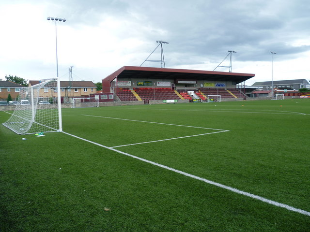
Ochilview Park

Ochilview Park is a football stadium in Stenhousemuir in the Falkirk council area of Scotland. It is the home ground of Scottish League Two club Stenhousemuir...
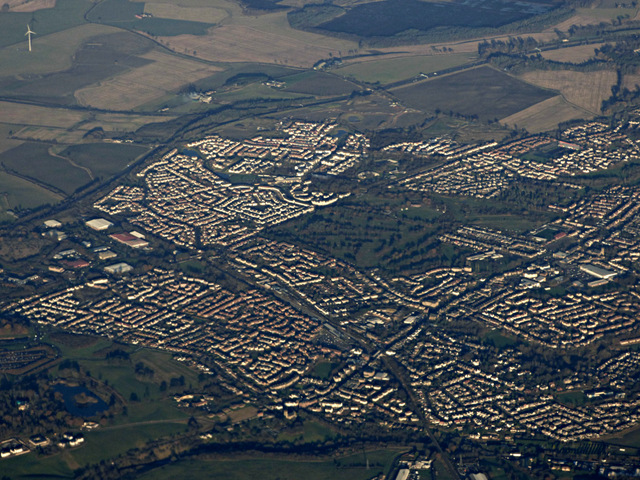
Stenhousemuir

Stenhousemuir (; Scottish Gaelic: Featha Thaigh nan Clach) is a town in the Central Lowlands of Scotland. It lies within the Falkirk council area of Scotland...

Larbert High School

Larbert High School is a six-year, non-denominational state school in Stenhousemuir, Scotland, United Kingdom (UK). The school is run by Falkirk Council...
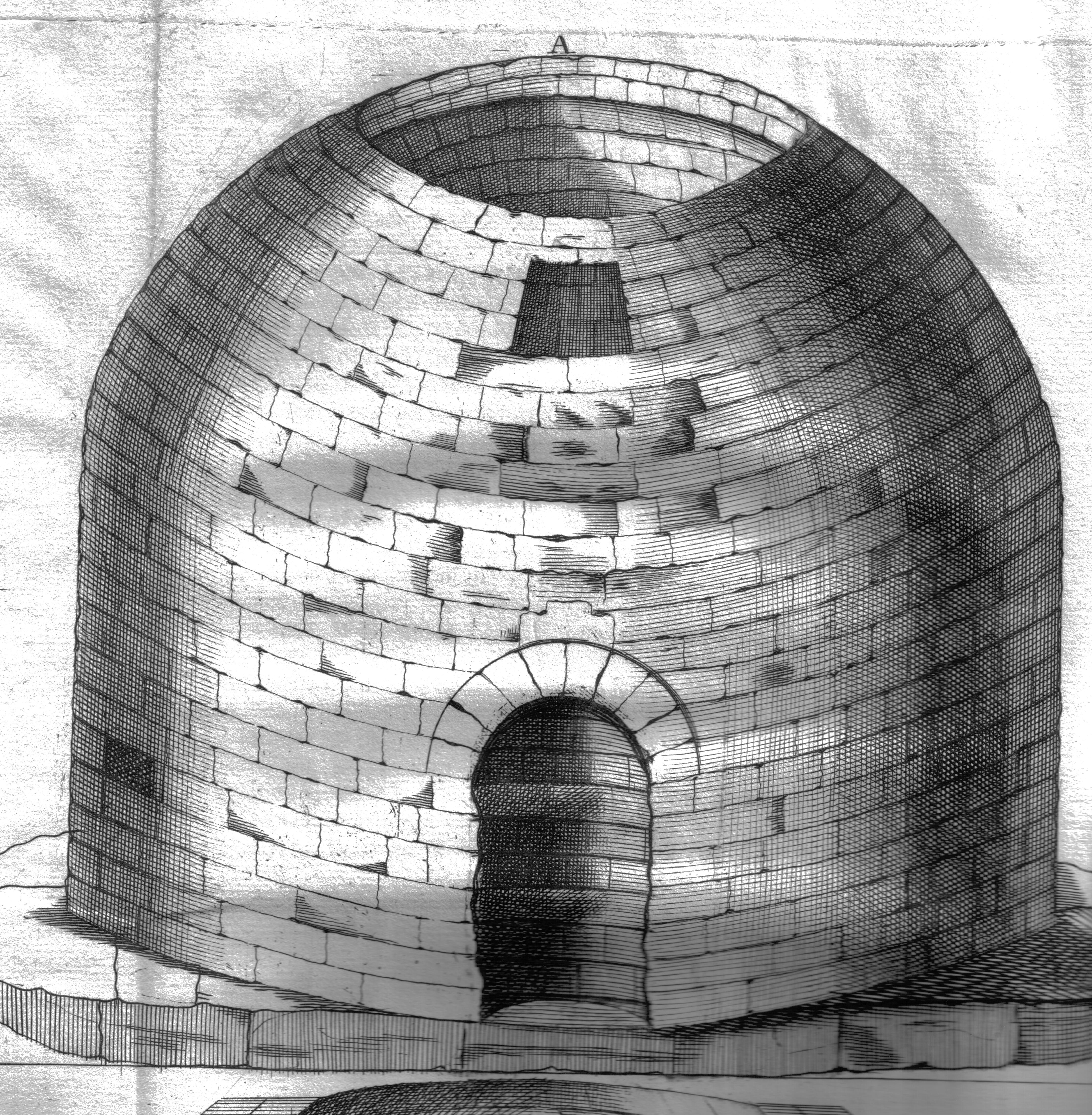
Arthur's O'on

Arthur's O'on (Scots: Oven) was a stone building thought to be Roman temple that, until 1743, stood on rising ground above the north bank of the River...

Larbert

Larbert (Scottish Gaelic: Leth-Pheairt, Scots: Lairbert) is a town in the Falkirk council area of Scotland. The town lies in the Forth Valley above the...

Larbert railway station

Larbert railway station is a railway station serving Larbert near Falkirk, Scotland. == History == The station was built by the Scottish Central Railway...

Carron, Falkirk

Carron (Scottish Gaelic: Carrann) is a village in the Falkirk council area of Scotland. It is in the Forth Valley, about 2 miles (3.2 km) north of Falkirk...

Related Videos

West Highland Way Load Out 2024 | Gear Updates & New Luxuries

After hiking the iconic West Highland Way three times, I've refined my gear list down to the essentials and added a few exciting ...
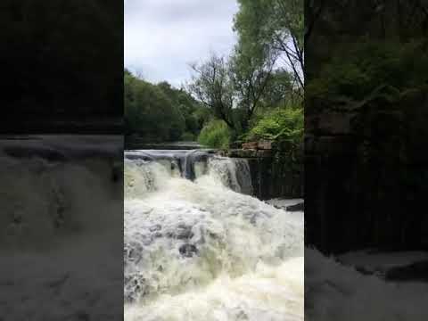
Scotland 🏴󠁧󠁢󠁳󠁣󠁴󠁿

Scotland #Uk #Nature #falkirk.
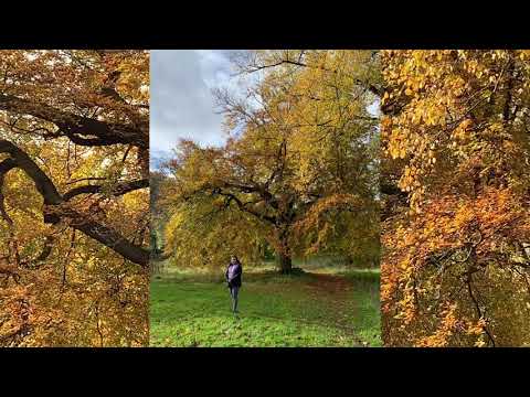
The Larbert Walk

The Larbert walk is a good route for daily walk. You have an option for longer or shorter..there are wild birds and a small body of ...

Nearby Amenities

Located within 500m of 56.035575,-3.813544
Turning Circle
Lat/Long: 56.0335189/-3.8123725
Turning Circle
Lat/Long: 56.0342186/-3.8128246
Barrier: bollard
Lat/Long: 56.035297/-3.8129559
Crossing
Crossing: uncontrolled
Lat/Long: 56.0348307/-3.8100955
Crossing
Crossing: uncontrolled
Crossing Island: yes
Crossing Markings: no
Kerb: lowered
Tactile Paving: yes
Lat/Long: 56.0354873/-3.8129536
Crossing: informal
Lat/Long: 56.0339286/-3.8197748
Traffic Calming: table
Lat/Long: 56.0365541/-3.8193927
Antonshill
Is In: Stenhousemuir, Falkirk, Scotland, UK
Place: suburb
Lat/Long: 56.0347555/-3.8074935
Addr Housenumber: 114
Addr Street: Crown Crescent
Lat/Long: 56.0375766/-3.8181322
Sainsbury's Local
Addr City: Larbert
Addr Housenumber: 1
Addr Parentstreet: Mcintyre Avenue
Addr Place: Kinnaird Village Centre
Addr Postcode: FK5 4XT
Addr Street: McIntyre Avenue
Brand: Sainsbury's Local
Brand Wikidata: Q13218434
Brand Wikipedia: en:Sainsbury's Local
Fhrs Id: 621166
Shop: convenience
Source Addr: FHRS Open Data
Website: https://stores.sainsburys.co.uk/4309/larbert-kinnaird-village-local
Lat/Long: 56.0359293/-3.8210625
Post Box
Collection Times: Mo-Fr 09:00; Sa 07:00
Drive Through: no
Operator: Royal Mail
Post Box Type: lamp
Ref: FK5 175D
Royal Cypher: scottish_crown
Lat/Long: 56.0353475/-3.8129206
Fast Food
Spice Magic
Addr City: Larbert
Addr Housename: Unit 3
Addr Postcode: FK5 4XT
Addr Street: Macintyre Avenue
Cuisine: indian
Opening Hours: Mo-Su 16:00-23:00
Website: https://spicemagiclarbert.co.uk/
Lat/Long: 56.0358214/-3.8209249
Fast Food
Cello's
Lat/Long: 56.0357454/-3.8208256
Cafe
Rost Coffee
Addr City: Larbert
Addr Postcode: FK5 4XT
Addr Street: McIntyre Avenue
Fhrs Id: 1230125
Lat/Long: 56.0356118/-3.8206645
Bus Stop
Bus: yes
Public Transport: platform
Lat/Long: 56.0338136/-3.8200027
Bus Stop
Bus: yes
Public Transport: platform
Lat/Long: 56.0338654/-3.8202849
Traffic Calming: table
Lat/Long: 56.0390812/-3.8132148
Location: outdoor
Power: substation
Substation: minor_distribution
Lat/Long: 56.034003/-3.8063295
Give Way
Direction: forward
Lat/Long: 56.0328348/-3.8117275
Location: outdoor
Power: substation
Substation: minor_distribution
Lat/Long: 56.0334538/-3.8099357
Barrier: cycle_barrier
Lat/Long: 56.0362525/-3.8085371
Location: outdoor
Power: substation
Substation: minor_distribution
Lat/Long: 56.0348721/-3.8132858
Location: outdoor
Power: substation
Substation: minor_distribution
Lat/Long: 56.0327584/-3.8154973
Kinnaird Butcher Shop and Deli
Addr City: Larbert
Addr Housename: Unit 2
Addr Postcode: FK5 4XT
Addr Street: Kinnaird Village Centre
Opening Hours: Mo-Fr 07:00-17:00; Sa 07:00-15:30
Phone: +44 1324 469222
Shop: butcher
Lat/Long: 56.0358551/-3.8209702
The data included in this document is from www.openstreetmap.org. The data is made available under ODbL.

Have you been to Antonshill?

Leave your review of Antonshill below (or comments, questions and feedback).