Passage Point
Coastal Feature, Headland, Point in Cornwall
England
Passage Point
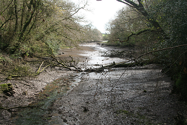
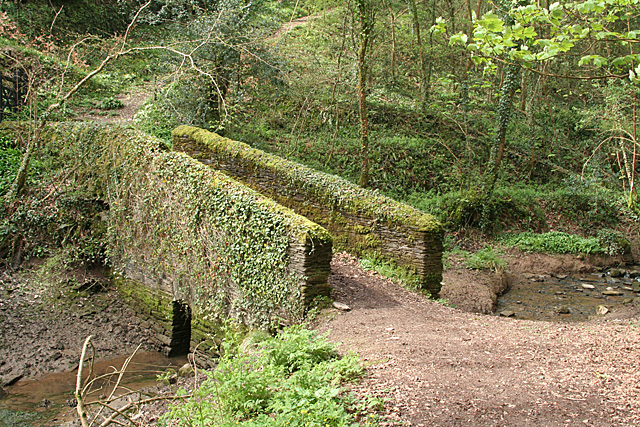
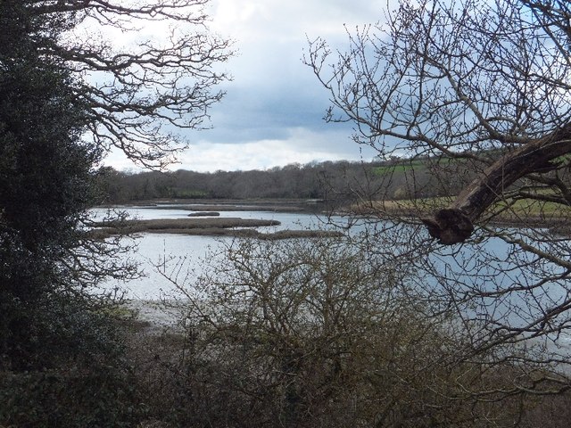
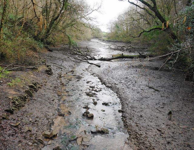
Passage Point is a prominent coastal feature located in Cornwall, England. Situated on the southern coast of the county, it is specifically categorized as a headland and point due to its geographical characteristics. This striking formation juts out into the Atlantic Ocean, offering stunning views of the surrounding coastline.
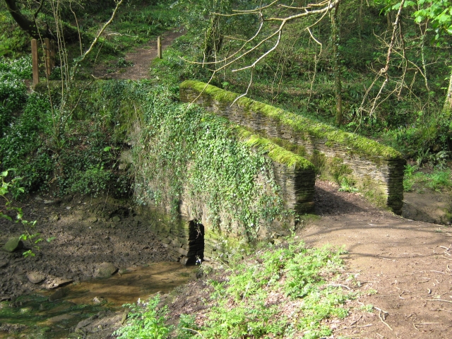
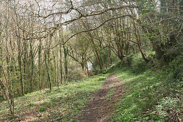
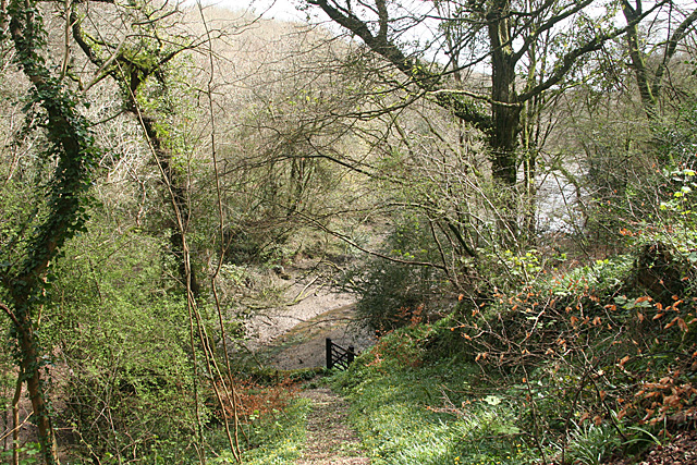
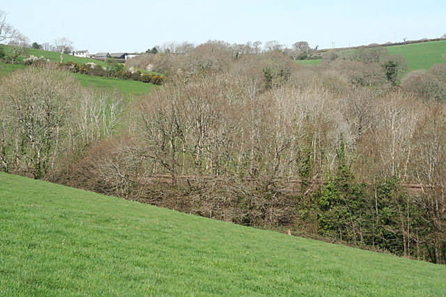
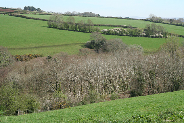
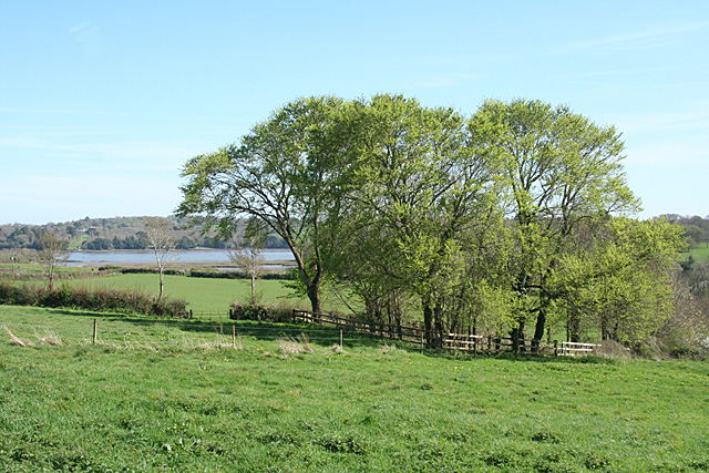
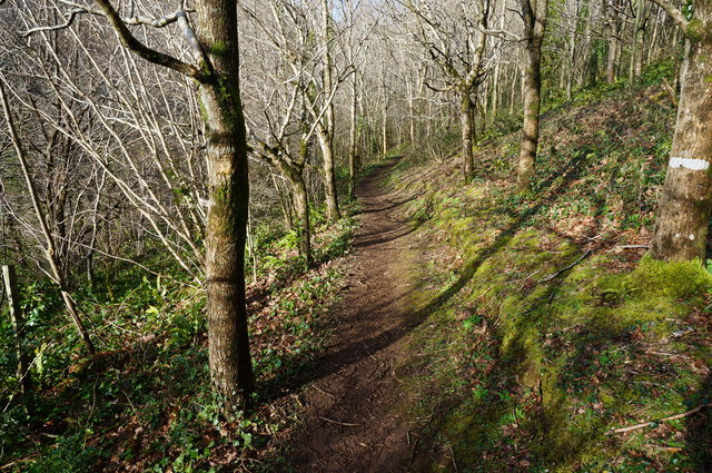
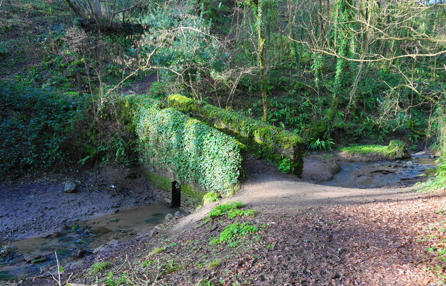
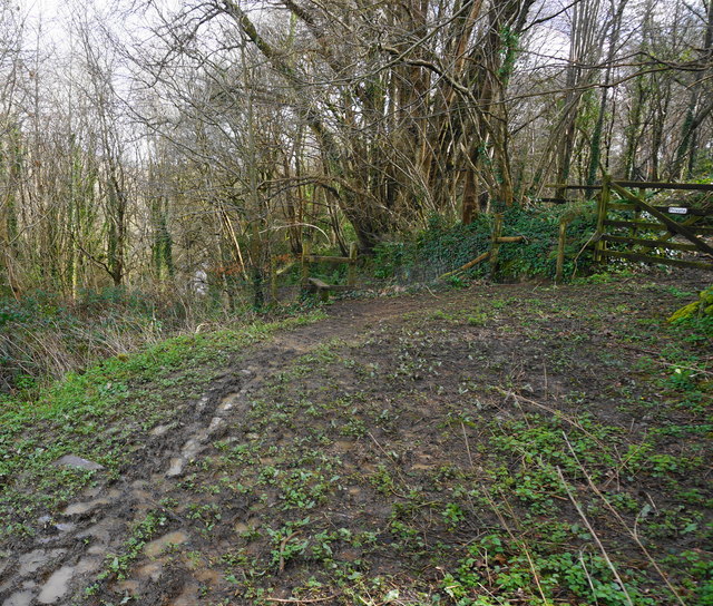
With its rugged cliffs and rocky outcrops, Passage Point is a popular destination for nature enthusiasts and hikers. The headland provides an excellent vantage point to observe the dramatic waves crashing against the cliffs, creating a mesmerizing spectacle. Adventurous visitors can explore the intricate network of coastal paths, which wind their way around the headland, providing access to hidden coves and secluded beaches.
Passage Point's strategic location has also played a significant role in maritime history. In the past, it served as a navigational landmark for ships traversing the treacherous waters off the Cornish coast. The headland's prominent position made it an important reference point for sailors, guiding them safely along their journeys.
Today, Passage Point continues to be an important landmark for both locals and tourists. Its natural beauty and historical significance make it a popular spot for photographers, artists, and history enthusiasts alike. The headland's proximity to other attractions, such as quaint coastal villages and picturesque beaches, further adds to its appeal.
In conclusion, Passage Point in Cornwall is a captivating headland and point known for its rugged beauty, breathtaking views, and historical importance. It offers visitors a chance to immerse themselves in the stunning coastal scenery and explore the rich maritime heritage of the region.
If you have any feedback on the listing, please let us know in the comments section below.
Passage Point Images
Images are sourced within 2km of 50.394098/-4.2302769 or Grid Reference SX4157. Thanks to Geograph Open Source API. All images are credited.


Passage Point is located at Grid Ref: SX4157 (Lat: 50.394098, Lng: -4.2302769)
Unitary Authority: Cornwall
Police Authority: Devon and Cornwall
What 3 Words
///trickled.grants.creamed. Near Saltash, Cornwall
Nearby Locations
Related Wikis

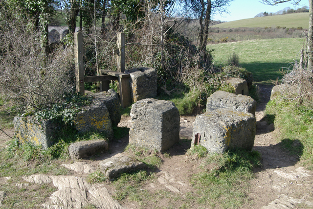
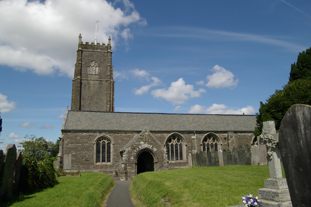
Churchtown Farm
Churchtown Farm is a community nature reserve one mile south of Saltash, Cornwall, England. It is leased from Antony Estate and managed by Cornwall Wildlife...

Antony Passage
Antony Passage is a hamlet in south-east Cornwall, England, UK. It stands beside the tidal section of the River Lynher (a tributary of the River Tamar...

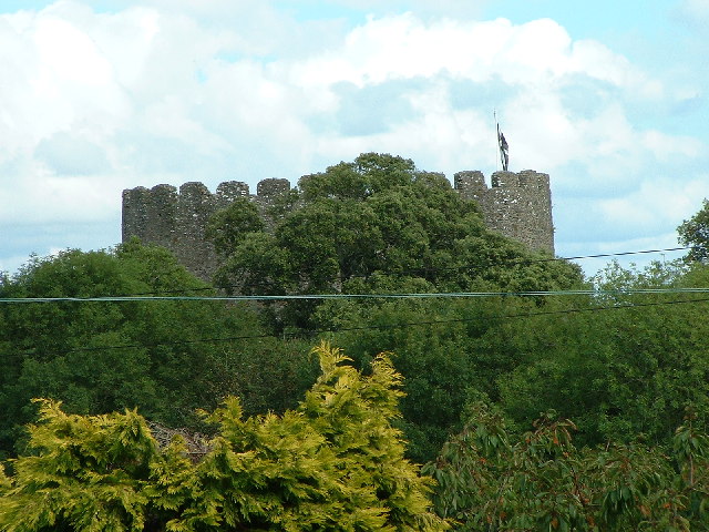
Trematon Castle
Trematon Castle (Cornish: Kastel Tremen) is situated near Saltash in Cornwall, England, United Kingdom. It was the caput of the feudal barony of Trematon...

Forder, Cornwall
Forder is a village near Saltash in Cornwall, England.Forder viaduct was formerly at Milepost 252.25, 1.25 miles (2.0 km) west of Saltash (50.395087°N...
Nearby Amenities
Located within 500m of 50.394098,-4.2302769Have you been to Passage Point?
Leave your review of Passage Point below (or comments, questions and feedback).