Queener Point
Coastal Feature, Headland, Point in Cornwall
England
Queener Point
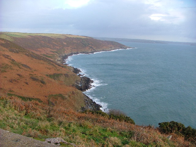
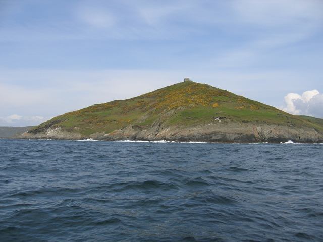
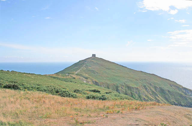
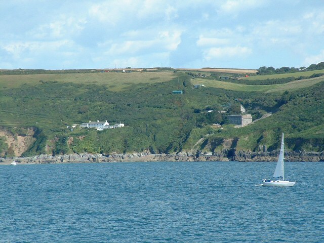
Queener Point is a prominent headland located in Cornwall, England. Situated along the rugged coastline, this coastal feature offers stunning panoramic views of the surrounding area. The point juts out into the sea, providing a dramatic and picturesque backdrop for visitors to admire.
Queener Point is known for its unique geological formations, with sheer cliffs and rocky outcrops adding to its rugged beauty. The area is also rich in biodiversity, with a variety of plant and animal species calling it home. Birdwatchers will especially enjoy visiting Queener Point, as it is a popular spot for seabirds such as gulls and cormorants.
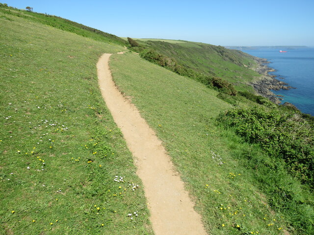
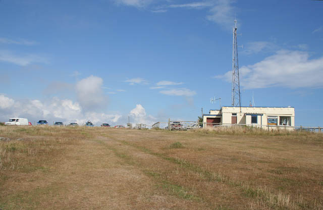
Visitors to Queener Point can enjoy leisurely walks along the coastal path, taking in the fresh sea air and breathtaking scenery. The point is also a popular destination for photographers, who come to capture the stunning sunsets and crashing waves against the cliffs.
Overall, Queener Point is a must-visit destination for anyone looking to experience the natural beauty of the Cornwall coastline. Its rugged charm and stunning views make it a truly special place to explore.
If you have any feedback on the listing, please let us know in the comments section below.
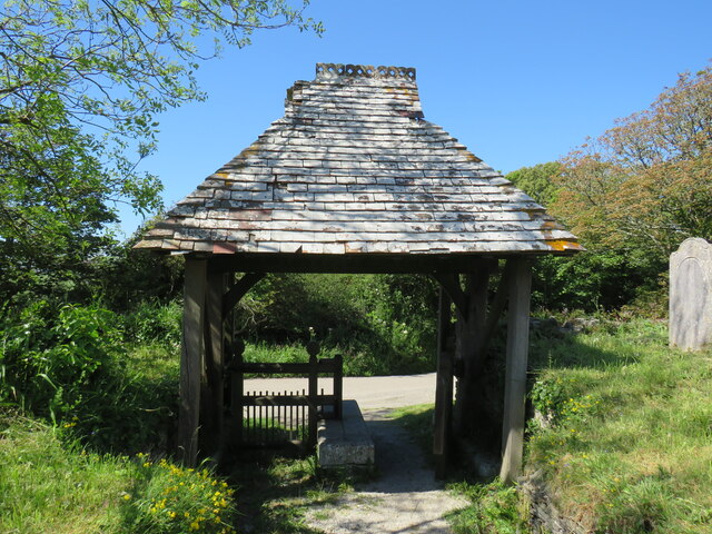
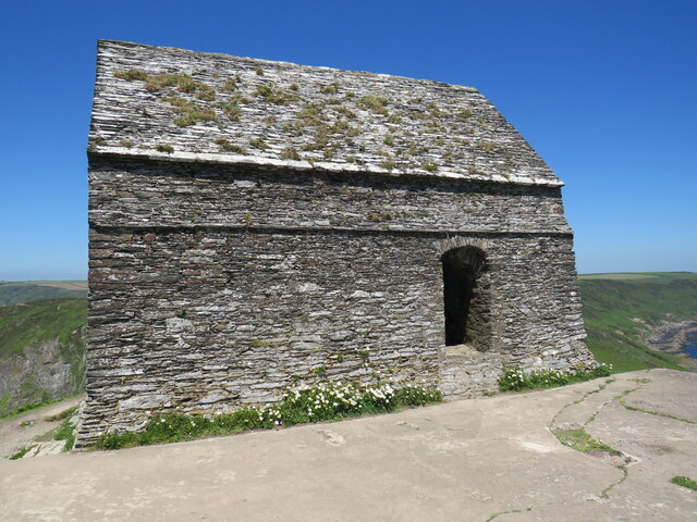
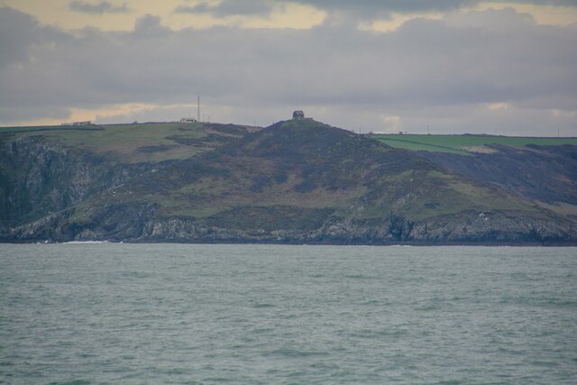
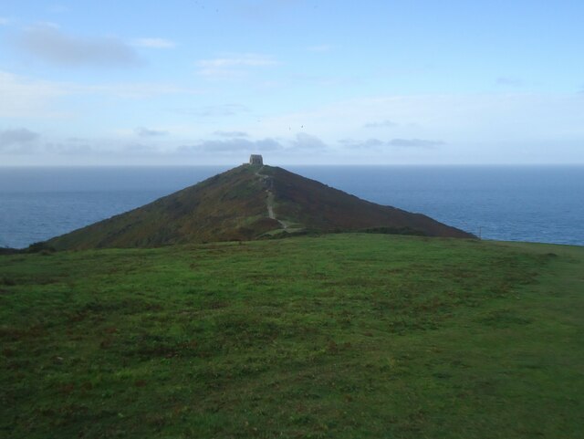
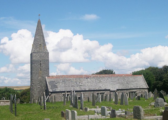
Queener Point Images
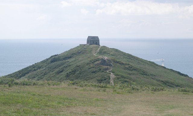
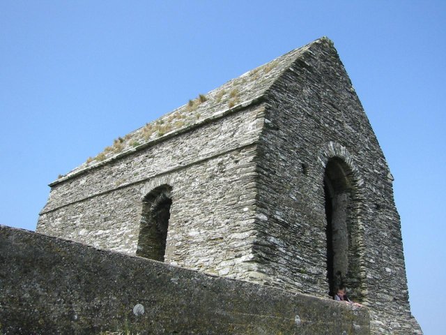
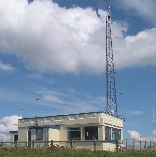
Images are sourced within 2km of 50.318965/-4.2270945 or Grid Reference SX4148. Thanks to Geograph Open Source API. All images are credited.


Queener Point is located at Grid Ref: SX4148 (Lat: 50.318965, Lng: -4.2270945)
Unitary Authority: Cornwall
Police Authority: Devon and Cornwall
What 3 Words
///torn.weeps.uptake. Near Millbrook, Cornwall
Nearby Locations
Related Wikis

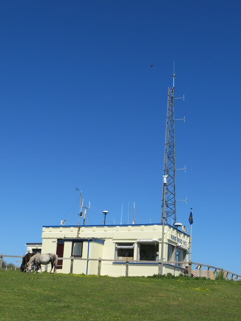
Rame Head
Rame Head or Ram Head (Cornish: Penn an Hordh) is a coastal headland, southwest of the village of Rame in southeast Cornwall, England, United Kingdom....

Rame Peninsula
The Rame Peninsula (Cornish: Gorenys an Ros) is a peninsula in south-east Cornwall. It is surrounded by the English Channel to the south, Plymouth Sound...

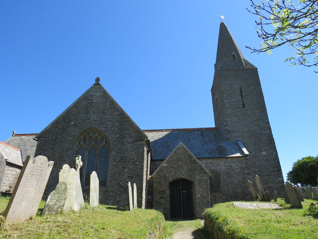
St Germanus' Church, Rame
St Germanus' Church is a Church of England church in Rame, Cornwall, England, UK. Much of the existing church dates to the 13th and 15th centuries. It...

Rame, Maker-with-Rame
Rame (Cornish: Hordh) is a village and former civil parish, now in the parish of Maker-with-Rame, in the Cornwall district, in the ceremonial county of...
Nearby Amenities
Located within 500m of 50.318965,-4.2270945Have you been to Queener Point?
Leave your review of Queener Point below (or comments, questions and feedback).