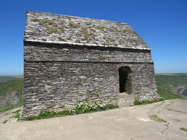
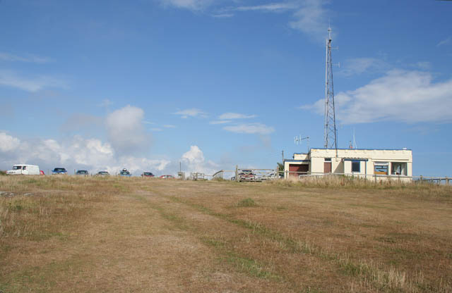
Western Gear
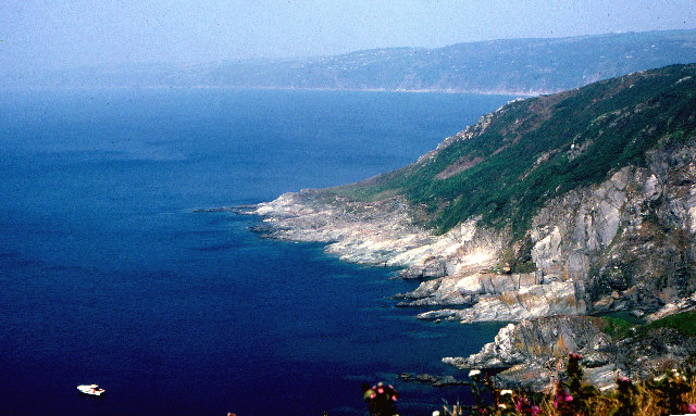
Beach in Cornwall
England
Western Gear
The requested URL returned error: 429 Too Many Requests
If you have any feedback on the listing, please let us know in the comments section below.
Western Gear Images
Images are sourced within 2km of 50.315932/-4.2239185 or Grid Reference SX4148. Thanks to Geograph Open Source API. All images are credited.
Western Gear is located at Grid Ref: SX4148 (Lat: 50.315932, Lng: -4.2239185)
Unitary Authority: Cornwall
Police Authority: Devon and Cornwall
What 3 Words
///developed.behave.shields. Near Millbrook, Cornwall
Nearby Locations
Related Wikis

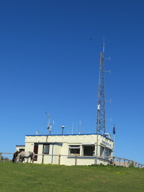
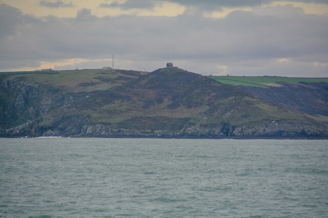
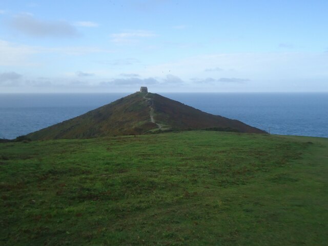
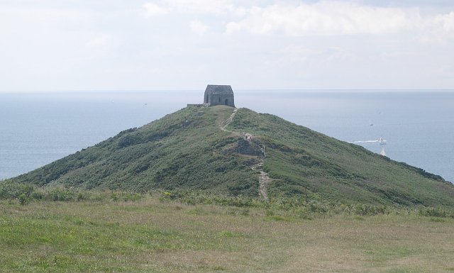
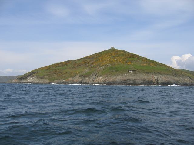
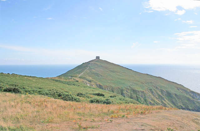
Rame Head
Rame Head or Ram Head (Cornish: Penn an Hordh) is a coastal headland, southwest of the village of Rame in southeast Cornwall, England, United Kingdom....

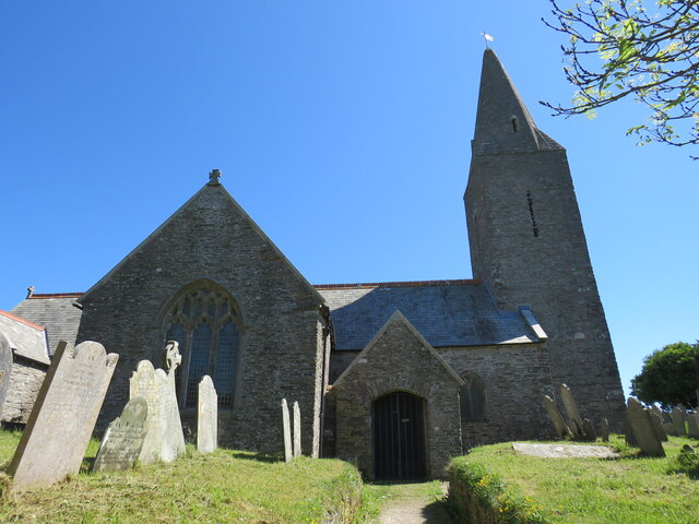
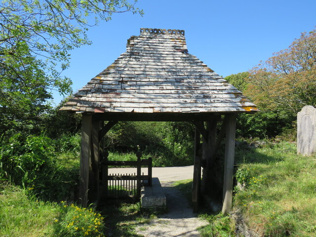
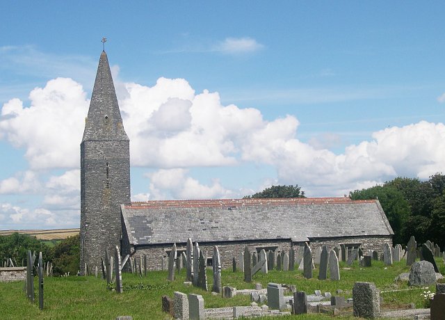
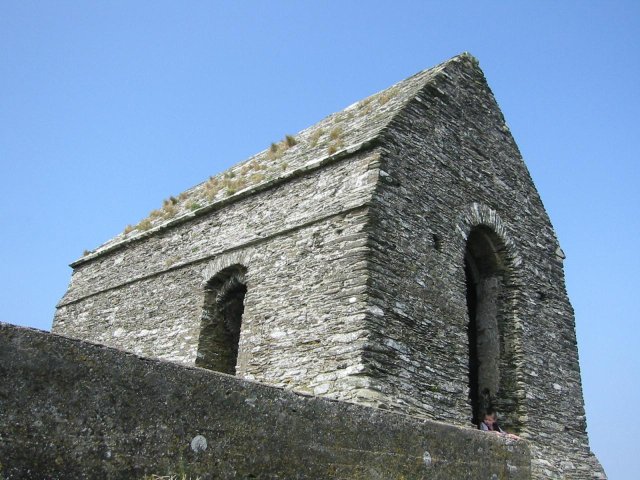
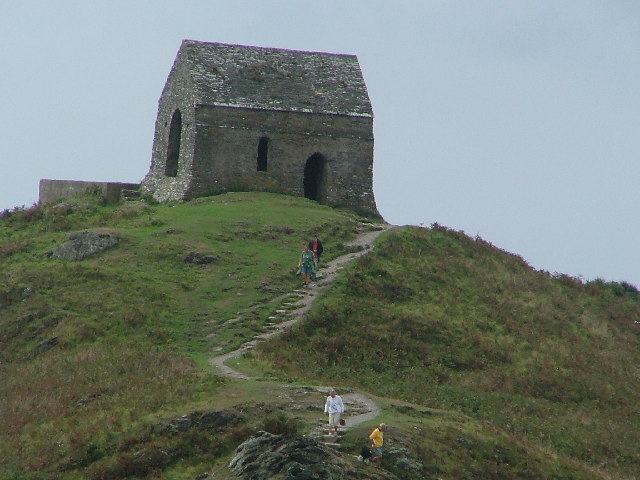
St Germanus' Church, Rame
St Germanus' Church is a Church of England church in Rame, Cornwall, England, UK. Much of the existing church dates to the 13th and 15th centuries. It...

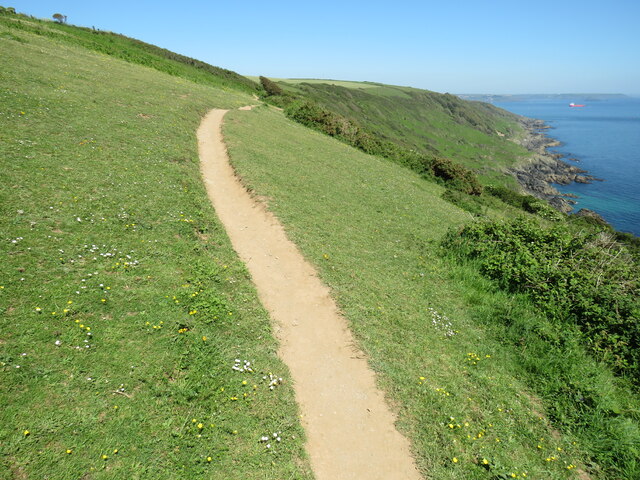
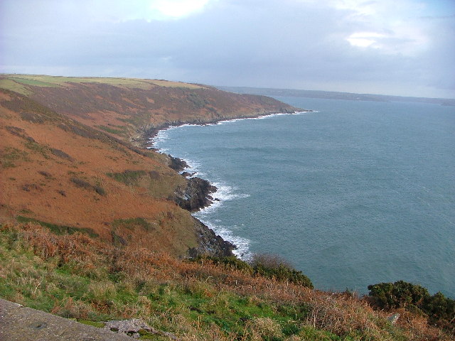
Rame Peninsula
The Rame Peninsula (Cornish: Gorenys an Ros) is a peninsula in south-east Cornwall. It is surrounded by the English Channel to the south, Plymouth Sound...

Rame, Maker-with-Rame
Rame (Cornish: Hordh) is a village and former civil parish, now in the parish of Maker-with-Rame, in the Cornwall district, in the ceremonial county of...
Nearby Amenities
Located within 500m of 50.315932,-4.2239185Have you been to Western Gear?
Leave your review of Western Gear below (or comments, questions and feedback).