Combers Common
Downs, Moorland in Cornwall
England
Combers Common
Combers Common is a picturesque area located in Cornwall, England. It is situated amidst the beautiful Downs and Moorland, offering visitors a unique and diverse landscape to explore. Covering an expansive area, Combers Common is known for its rolling hills, vast meadows, and ancient woodlands.
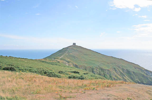
The Downs of Combers Common are characterized by their open grasslands and breathtaking panoramic views. Visitors can enjoy leisurely walks or hikes, taking in the stunning vistas and perhaps catching a glimpse of the local wildlife, including rabbits, foxes, and various species of birds. The gently sloping terrain makes it an ideal spot for picnics and outdoor activities such as kite flying.
Adjacent to the Downs, the Moorland of Combers Common offers a contrasting landscape with its rugged and wild nature. Here, visitors can explore the heather-covered moors, traversing through rocky paths and secluded valleys. The Moorland is home to a variety of plant and animal species, including ponies that graze freely in the area.
Combers Common also boasts ancient woodlands that provide a rich habitat for flora and fauna. The woodlands are characterized by their towering trees, carpet of bluebells in spring, and a chorus of birdsong. Visitors can wander through the peaceful trails, immersing themselves in the tranquility of the natural surroundings.
In summary, Combers Common in Cornwall offers visitors a diverse landscape encompassing Downs, Moorland, and ancient woodlands. It is a haven for nature enthusiasts, providing opportunities for scenic walks, wildlife spotting, and immersing oneself in the beauty of the countryside.
If you have any feedback on the listing, please let us know in the comments section below.
Combers Common Images
Images are sourced within 2km of 50.319556/-4.2243828 or Grid Reference SX4148. Thanks to Geograph Open Source API. All images are credited.

Combers Common is located at Grid Ref: SX4148 (Lat: 50.319556, Lng: -4.2243828)
Unitary Authority: Cornwall
Police Authority: Devon and Cornwall
What 3 Words
///riskiest.limits.unstable. Near Millbrook, Cornwall
Nearby Locations
Related Wikis

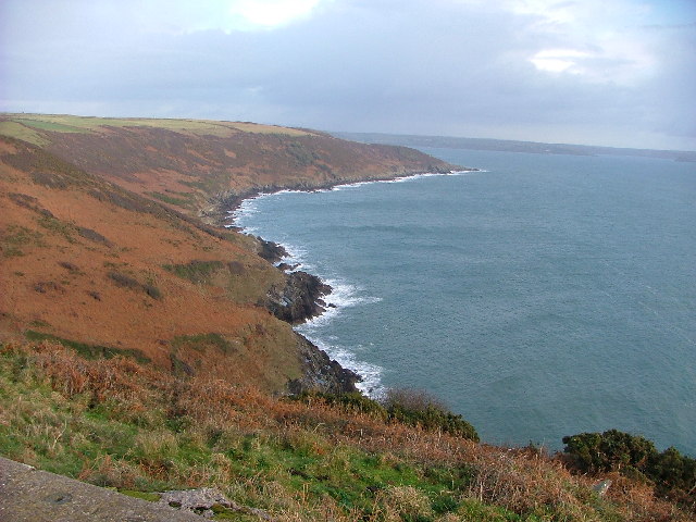
Rame Peninsula
The Rame Peninsula (Cornish: Gorenys an Ros) is a peninsula in south-east Cornwall. It is surrounded by the English Channel to the south, Plymouth Sound...

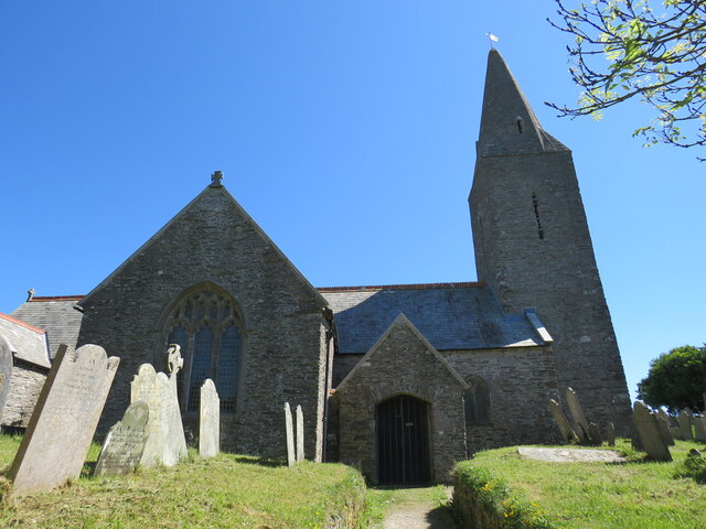
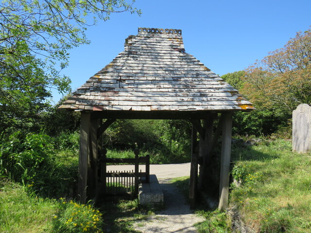
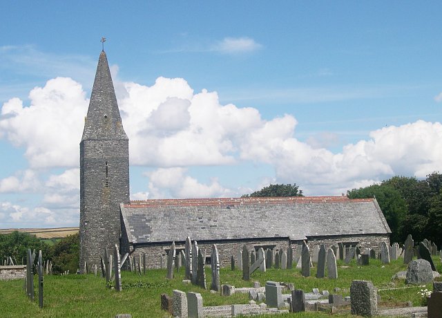
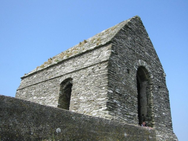
St Germanus' Church, Rame
St Germanus' Church is a Church of England church in Rame, Cornwall, England, UK. Much of the existing church dates to the 13th and 15th centuries. It...

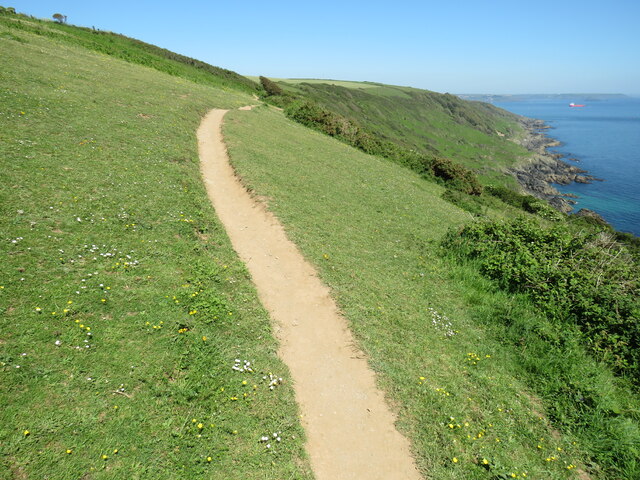
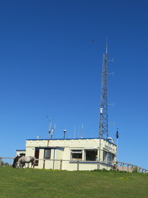
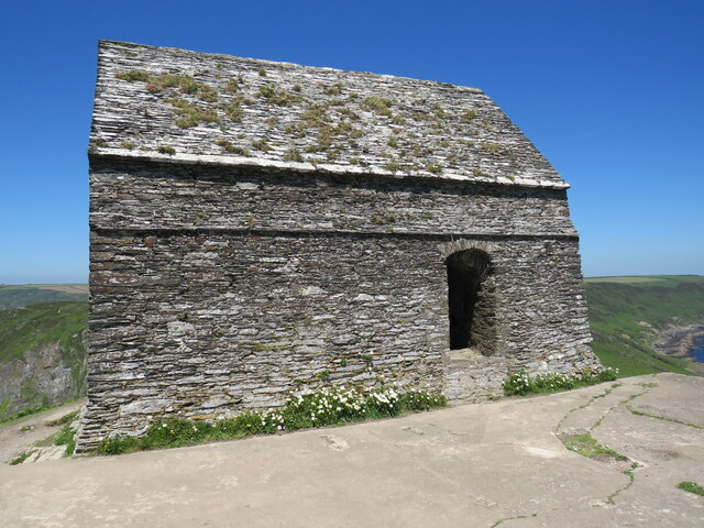
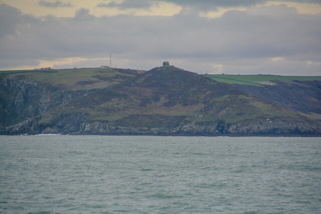
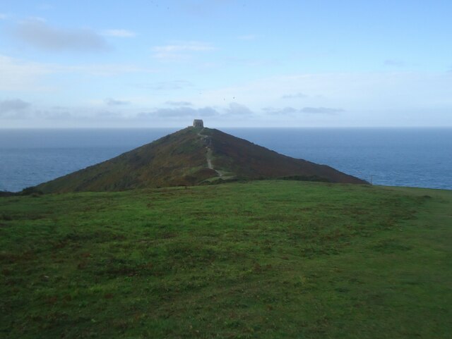
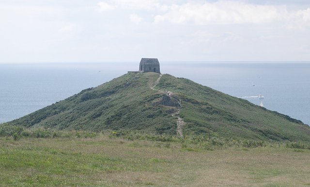
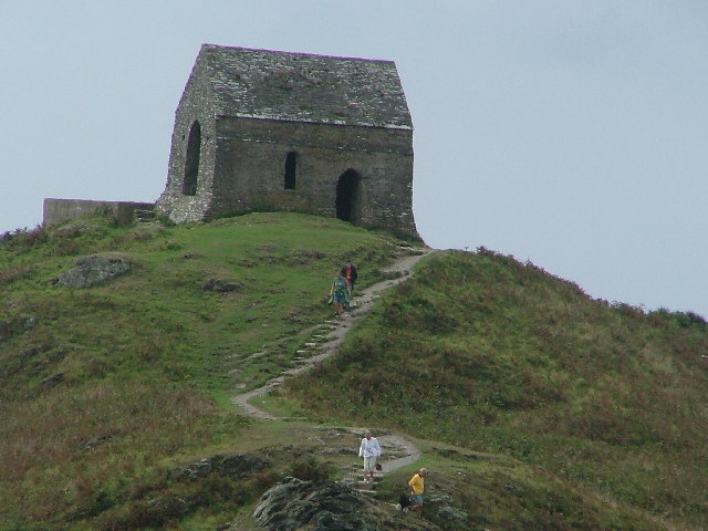
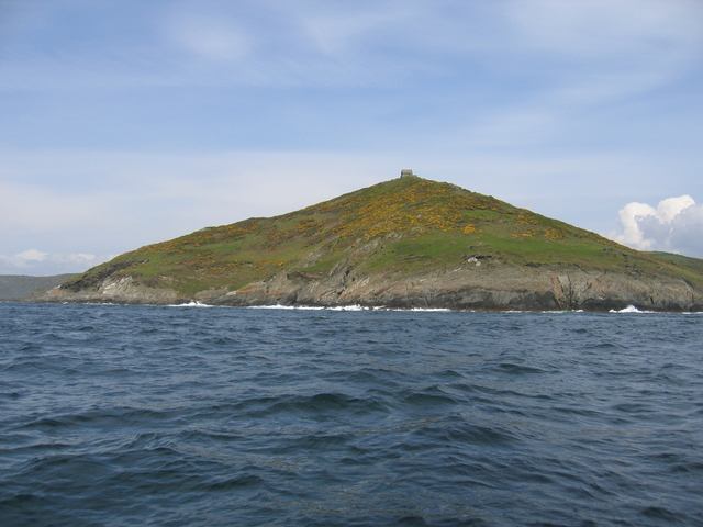
Rame Head
Rame Head or Ram Head (Cornish: Penn an Hordh) is a coastal headland, southwest of the village of Rame in southeast Cornwall, England, United Kingdom....

Rame, Maker-with-Rame
Rame (Cornish: Hordh) is a village and former civil parish, now in the parish of Maker-with-Rame, in the Cornwall district, in the ceremonial county of...
Nearby Amenities
Located within 500m of 50.319556,-4.2243828Have you been to Combers Common?
Leave your review of Combers Common below (or comments, questions and feedback).