Trematon Castle

Settlement in Cornwall

England

Trematon Castle

Shed near Burell Farm, Trematon Shed near Burell Farm, Trematon, near Saltash, Cornwall.
Shed near Burell Farm, Trematon Credit: Kevin Hale

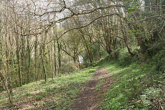
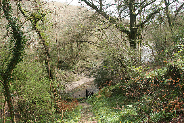
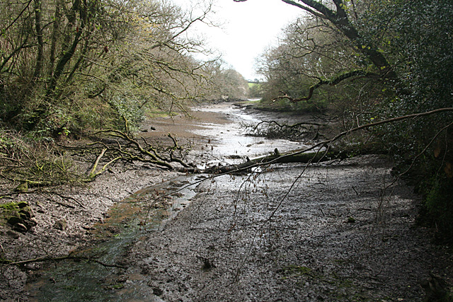
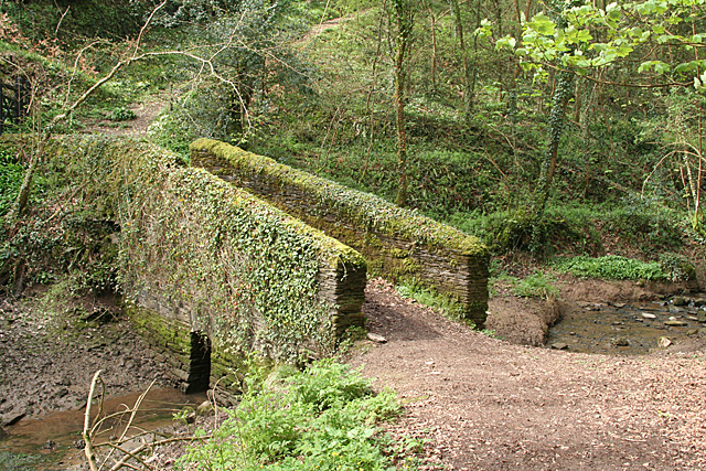
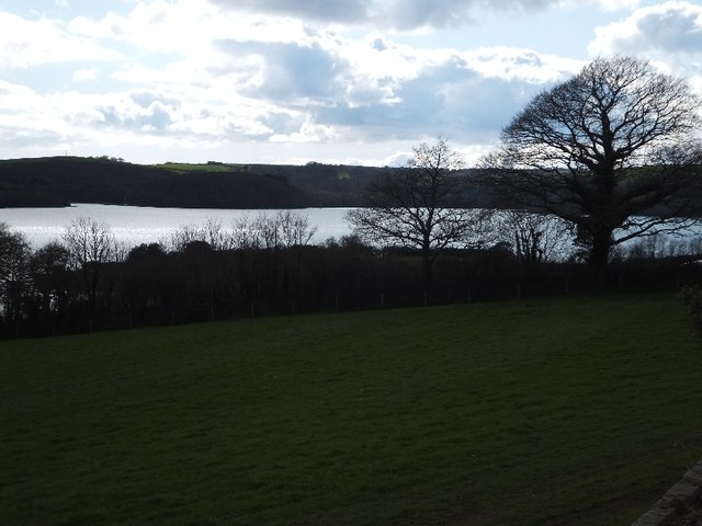
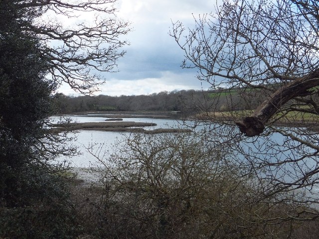
Trematon Castle is a historic landmark located near the village of Saltash in Cornwall, England. This medieval fortress, set atop a hill, overlooks the River Tamar and offers breathtaking views of the surrounding countryside.

Believed to have been built in the late 11th century, Trematon Castle was initially constructed as a motte-and-bailey structure by the Normans. Over the centuries, it underwent various modifications and additions, transforming it into a formidable stone keep surrounded by a curtain wall and a moat. The castle's strategic location made it a vital defensive stronghold for the region.

The castle's architecture reflects a mix of styles, blending elements from both the medieval and Tudor periods. Notable features include the gatehouse, which showcases intricate carvings and heraldic emblems, as well as the well-preserved remains of the keep's inner ward. The castle grounds also include a small chapel, believed to have been used by the castle's inhabitants.

Today, Trematon Castle is privately owned and not open to the public. However, visitors can still appreciate its grandeur from the outside. The castle's imposing presence and rich history make it a popular attraction for tourists and history enthusiasts alike. Additionally, the surrounding area offers picturesque walking trails, allowing visitors to explore the beautiful countryside and enjoy the stunning vistas that Trematon Castle commands.

If you have any feedback on the listing, please let us know in the comments section below.

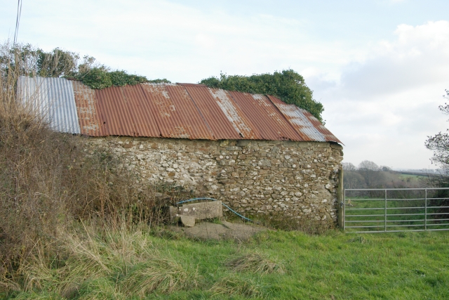
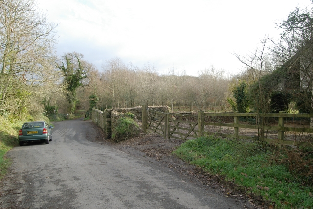
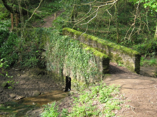
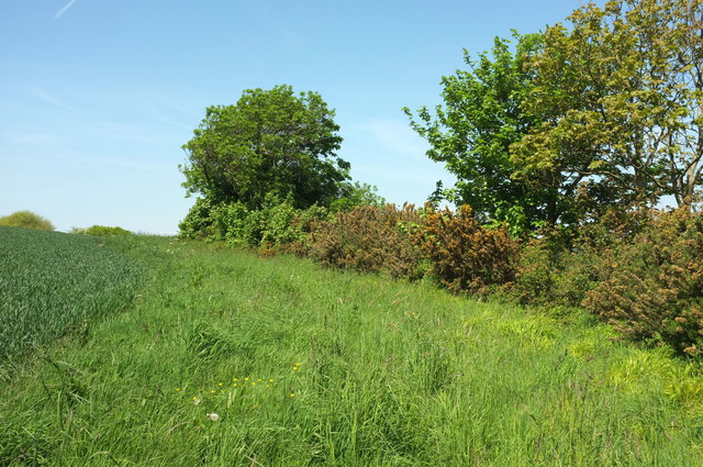
Trematon Castle Images

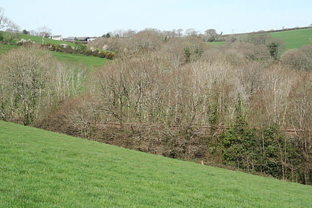
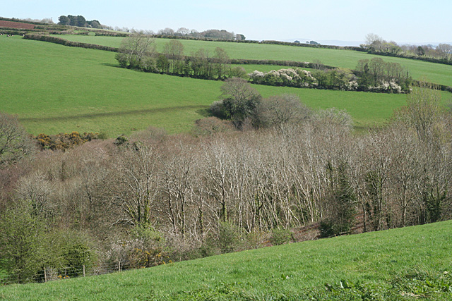
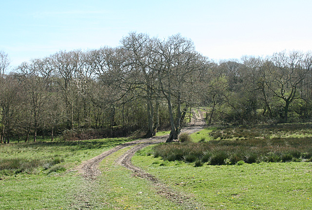
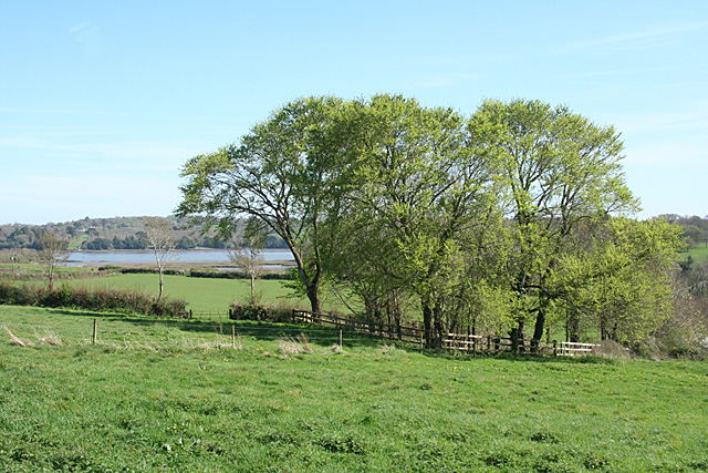
Images are sourced within 2km of 50.391328/-4.2381946 or Grid Reference SX4157. Thanks to Geograph Open Source API. All images are credited.

Shed near Burell Farm, Trematon Shed near Burell Farm, Trematon, near Saltash, Cornwall.
Shed near Burell Farm, Trematon
Shed near Burell Farm, Trematon, near Saltash, Cornwall.
Barnyard near Elm Gate, Saltash Barnyard on the road from Elm Gate to Ince Castle, near Saltash, Cornwall, which lies overlooking the River Lynher.
Barnyard near Elm Gate, Saltash
Barnyard on the road from Elm Gate to Ince Castle, near Saltash, Cornwall, which lies overlooking the River Lynher.
Footbridge at Wivelscombe This bridge lies on the footpath between Shillingham and Wivelscombe, that runs along the top of Wivelscombe creek.
Footbridge at Wivelscombe
This bridge lies on the footpath between Shillingham and Wivelscombe, that runs along the top of Wivelscombe creek.
Hedge by St Germans River A little further east than <a href="https://www.geograph.org.uk/photo/5782884">SX3955 : Field by the St Germans River</a>.
Hedge by St Germans River
A little further east than SX3955 : Field by the St Germans River.
Saltash: path from Elm Gate A public footpath leading to a creek, an arm of Wiveliscombe Lake. In Saltash parish
Saltash: path from Elm Gate
A public footpath leading to a creek, an arm of Wiveliscombe Lake. In Saltash parish
Saltash: nearing a creek Descending to an arm of Wiveliscombe Lake, in Saltash parish. Quite steep, but with steps cut in the public footpath
Saltash: nearing a creek
Descending to an arm of Wiveliscombe Lake, in Saltash parish. Quite steep, but with steps cut in the public footpath
Saltash: creek below railway An arm of Wiveliscombe Lake, by the edge of the Wiveliscombe estate. With the tide out
Saltash: creek below railway
An arm of Wiveliscombe Lake, by the edge of the Wiveliscombe estate. With the tide out
Saltash: bridge at head of creek Now used to carry a public footpath. The bridge stands at the normal tide limit, at the north west end of Wiveliscombe Lake, in Saltash parish
Saltash: bridge at head of creek
Now used to carry a public footpath. The bridge stands at the normal tide limit, at the north west end of Wiveliscombe Lake, in Saltash parish
Saltash: below Broadmoor The Great Western's 1908 deviation from Brunel's original Cornwall Railway route of 1859 crosses a wooded valley on a high embankment before entering a cutting to the west, on the approach to the 452-yard long Shillingham Tunnel, which was excavated through hard blue elvan rock. Looking up the valley towards Broadmoor; the embankment is partly shrouded by trees. In Saltash parish
Saltash: below Broadmoor
The Great Western's 1908 deviation from Brunel's original Cornwall Railway route of 1859 crosses a wooded valley on a high embankment before entering a cutting to the west, on the approach to the 452-yard long Shillingham Tunnel, which was excavated through hard blue elvan rock. Looking up the valley towards Broadmoor; the embankment is partly shrouded by trees. In Saltash parish
Saltash: towards the railway Looking down on the Plymouth-Penzance main line railway as it enters a cutting to the east of Shillingham Tunnel. The tree-lined route was opened in 1908, replacing the original Cornwall Railway which, opened in 1859, ran across creeks and salt marshes to the south. In Saltash parish
Saltash: towards the railway
Looking down on the Plymouth-Penzance main line railway as it enters a cutting to the east of Shillingham Tunnel. The tree-lined route was opened in 1908, replacing the original Cornwall Railway which, opened in 1859, ran across creeks and salt marshes to the south. In Saltash parish
Saltash: railway near Greeps One of the reasons for the demise of Brunel's Cornwall Railway in Saltash parish may have been difficulty in keeping the track drained. Here the old route, opened in 1859, lies in water. In 1908 the Great Western Railway opened a new route to the north, avoiding the tidal creeks and salt marshes on this course. In Saltash parish
Saltash: railway near Greeps
One of the reasons for the demise of Brunel's Cornwall Railway in Saltash parish may have been difficulty in keeping the track drained. Here the old route, opened in 1859, lies in water. In 1908 the Great Western Railway opened a new route to the north, avoiding the tidal creeks and salt marshes on this course. In Saltash parish
Saltash: below Greeps Farm track crossing the route of the old Cornwall Railway, which was active between 1859 and 1908. The course of the railway is indicated by the line of trees running across the image. In Saltash parish
Saltash: below Greeps
Farm track crossing the route of the old Cornwall Railway, which was active between 1859 and 1908. The course of the railway is indicated by the line of trees running across the image. In Saltash parish
Saltash: bridge over abandoned railway Near Greeps. The bridge carries the lane to Ince Castle over the course of the Cornwall Railway's original route, abandoned by the Great Western in 1908. Seen from the public footpath from Greeps to Wiveliscombe. In Saltash parish
Saltash: bridge over abandoned railway
Near Greeps. The bridge carries the lane to Ince Castle over the course of the Cornwall Railway's original route, abandoned by the Great Western in 1908. Seen from the public footpath from Greeps to Wiveliscombe. In Saltash parish
Saltash: towards the Lynher With trees in new leaf and the grounds of Antony House in the distance, on the far side of the Lynher estuary, well beyond the square. In Saltash parish
Saltash: towards the Lynher
With trees in new leaf and the grounds of Antony House in the distance, on the far side of the Lynher estuary, well beyond the square. In Saltash parish
Bridge over abandoned railway near Greeps This is on the road to Ince Castle.  It crosses the abandoned route of the GWR in Cornwall, which was used until the early 20th century.
Bridge over abandoned railway near Greeps
This is on the road to Ince Castle. It crosses the abandoned route of the GWR in Cornwall, which was used until the early 20th century.
St Germans River north of Antony from Ince Castle
Inlet north of Ince This inlet on the north, and the St Germans River on the south and east, create a peninsula over one kilometre long
Inlet north of Ince
This inlet on the north, and the St Germans River on the south and east, create a peninsula over one kilometre long
Bridge over abandoned railway near Ince Castle The same bridge, seen from the north, is in <a href="https://www.geograph.org.uk/photo/2858031">SX3956 : Bridge over abandoned railway near Greeps</a>
Bridge over abandoned railway near Ince Castle
The same bridge, seen from the north, is in SX3956 : Bridge over abandoned railway near Greeps
Show me another place!

Trematon Castle is located at Grid Ref: SX4157 (Lat: 50.391328, Lng: -4.2381946)

Unitary Authority: Cornwall

Police Authority: Devon and Cornwall

What 3 Words

///northward.ambushed.rebirth. Near Saltash, Cornwall

Related Wikis

Antony Passage

Antony Passage is a hamlet in south-east Cornwall, England, UK. It stands beside the tidal section of the River Lynher (a tributary of the River Tamar...

Trematon Castle

Trematon Castle (Cornish: Kastel Tremen) is situated near Saltash in Cornwall, England, United Kingdom. It was the caput of the feudal barony of Trematon...

Churchtown Farm

Churchtown Farm is a community nature reserve one mile south of Saltash, Cornwall, England. It is leased from Antony Estate and managed by Cornwall Wildlife...

Trehan

Trehan is a hamlet near Saltash in Cornwall, England, United Kingdom. == References ==

Forder, Cornwall

Forder is a village near Saltash in Cornwall, England.Forder viaduct was formerly at Milepost 252.25, 1.25 miles (2.0 km) west of Saltash (50.395087°N...

Maryfield, Cornwall

Maryfield is a hamlet north of Torpoint and east of Antony House in southeast Cornwall, England. == References ==

Saltash Community School

Saltash Community School is a mixed 11 to 18 academy school established in its present form in 1965, in Saltash, Cornwall, England. The school was previously...

A374 road

The A374 is a main road in the United Kingdom, one of six A-roads making the border crossing between Devon and Cornwall. It is the most southerly of the...

Nearby Amenities

Located within 500m of 50.391328,-4.2381946
Source: PGS
Lat/Long: 50.3895612/-4.2442216
Source: PGS
Lat/Long: 50.3894394/-4.243977
Source: PGS
Lat/Long: 50.3892623/-4.2438397
Source: PGS
Lat/Long: 50.3892479/-4.243035
Source: PGS
Lat/Long: 50.3894668/-4.2420458
Source: PGS
Lat/Long: 50.3897267/-4.2416296
Source: PGS
Lat/Long: 50.3901494/-4.2417551
Source: PGS
Lat/Long: 50.3902999/-4.2421789
Source: PGS
Lat/Long: 50.3916933/-4.2419847
Source: PGS
Lat/Long: 50.3919251/-4.2413656
Source: PGS
Lat/Long: 50.3922247/-4.2402938
Source: PGS
Lat/Long: 50.3925332/-4.2399355
Source: PGS
Lat/Long: 50.3926556/-4.2394312
Source: PGS
Lat/Long: 50.3929922/-4.2382553
Source: PGS
Lat/Long: 50.3933321/-4.2370162
Source: PGS
Lat/Long: 50.393488/-4.2359894
Source: PGS
Lat/Long: 50.393471/-4.2332244
Source: PGS
Lat/Long: 50.3934915/-4.2330547
Source: PGS
Lat/Long: 50.3935224/-4.2329983
Source: PGS
Lat/Long: 50.3936129/-4.2329075
Created By: almien_coastlines
Source: PGS
Lat/Long: 50.3898631/-4.2319973
Created By: almien_coastlines
Source: PGS
Lat/Long: 50.3888813/-4.2327053
Created By: almien_coastlines
Source: PGS
Lat/Long: 50.3887433/-4.2330459
Created By: almien_coastlines
Source: PGS
Lat/Long: 50.3888168/-4.233406
Created By: almien_coastlines
Source: PGS
Lat/Long: 50.3886201/-4.2335686
Created By: almien_coastlines
Source: PGS
Lat/Long: 50.3884266/-4.2336353
Created By: almien_coastlines
Source: PGS
Lat/Long: 50.3883433/-4.23389
Created By: almien_coastlines
Source: PGS
Lat/Long: 50.3881129/-4.2343129
Created By: almien_coastlines
Source: PGS
Lat/Long: 50.3878637/-4.234549
Created By: almien_coastlines
Source: PGS
Lat/Long: 50.3876866/-4.2351752
Created By: almien_coastlines
Source: PGS
Lat/Long: 50.3874125/-4.2354236
Antony Passage
Name En: Antony Passage
Name Kw: Trethanton
Place: hamlet
Wikidata: Q4777242
Lat/Long: 50.3943366/-4.2330419
Shillingham
Place: hamlet
Lat/Long: 50.3937732/-4.2416862
Power: pole
Lat/Long: 50.3957859/-4.2391026
Power: pole
Lat/Long: 50.3949789/-4.2384562
Power: pole
Lat/Long: 50.3941923/-4.2379519
Location Transition: yes
Power: pole
Lat/Long: 50.3936657/-4.237445
Barrier: stile
Lat/Long: 50.3936661/-4.2374558
The data included in this document is from www.openstreetmap.org. The data is made available under ODbL.

Have you been to Trematon Castle?

Leave your review of Trematon Castle below (or comments, questions and feedback).