Addison Wood
Wood, Forest in Lancashire South Lakeland
England
Addison Wood
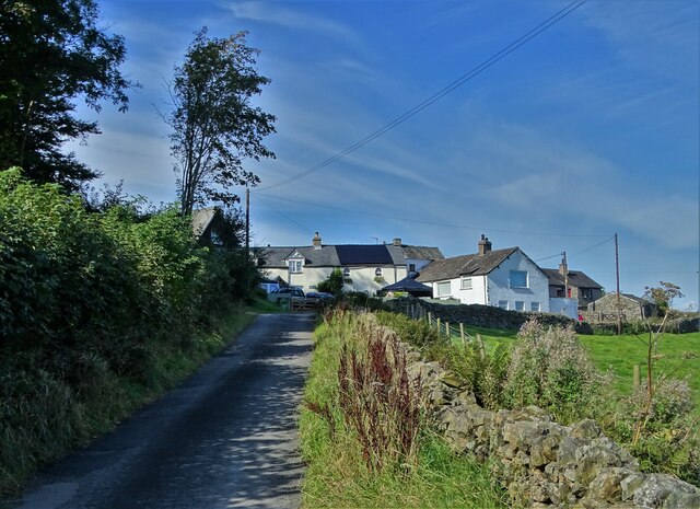
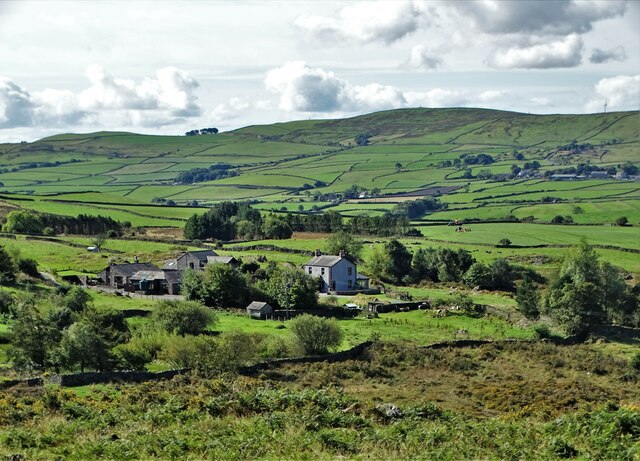
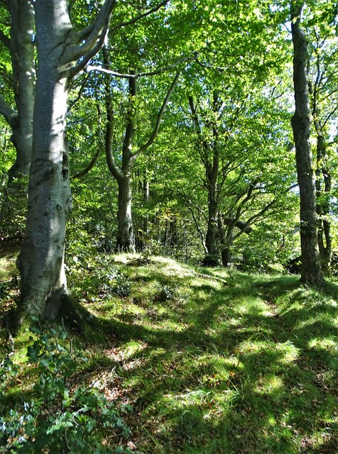
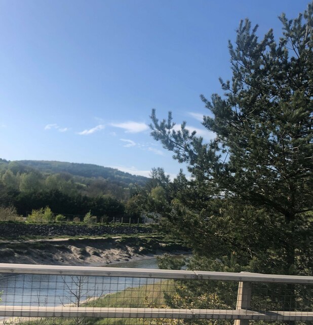
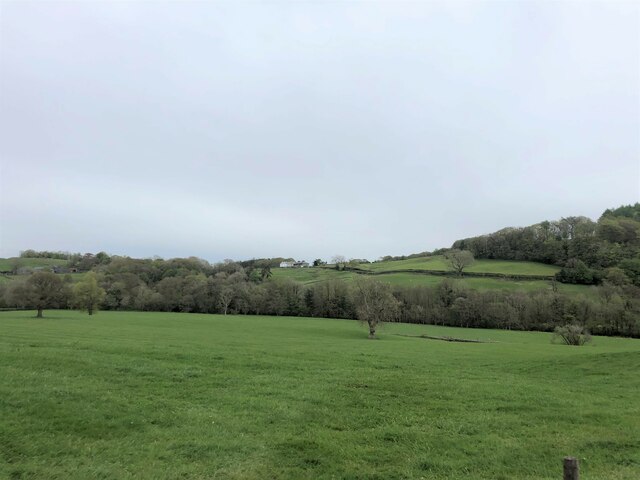
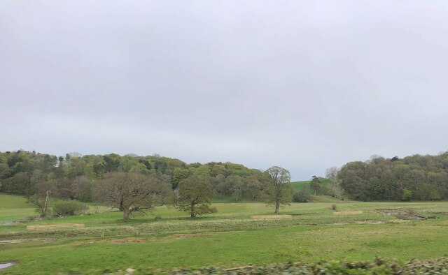
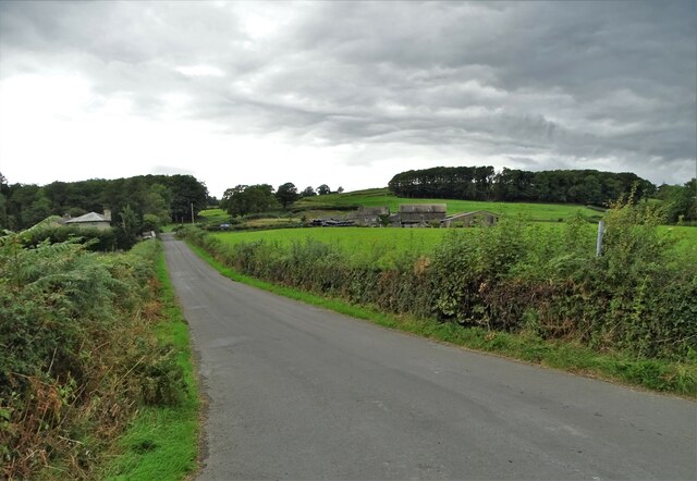
Addison Wood is a small village located in the county of Lancashire, England. Situated within a forested area, it is known for its serene and picturesque environment. The village is surrounded by lush greenery and dense woodland, offering a tranquil retreat for nature enthusiasts and outdoor enthusiasts alike.
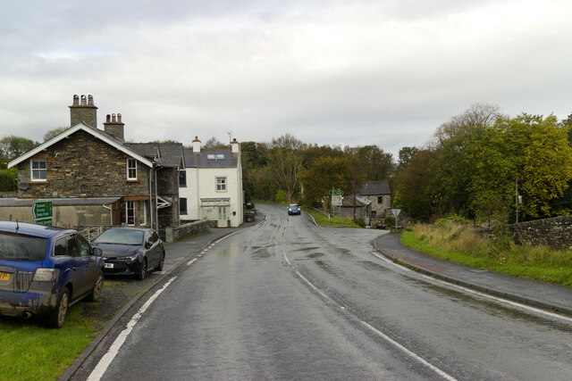
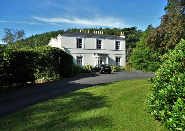
The village of Addison Wood is sparsely populated, with a close-knit community that prides itself on its peaceful way of life. The residents of this idyllic village enjoy a slower pace of living, away from the hustle and bustle of the nearby cities. The village is characterized by charming cottages and traditional architecture, creating a quaint and rustic atmosphere.
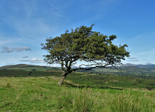
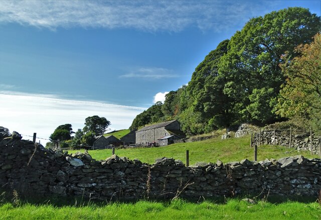
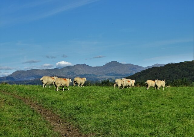
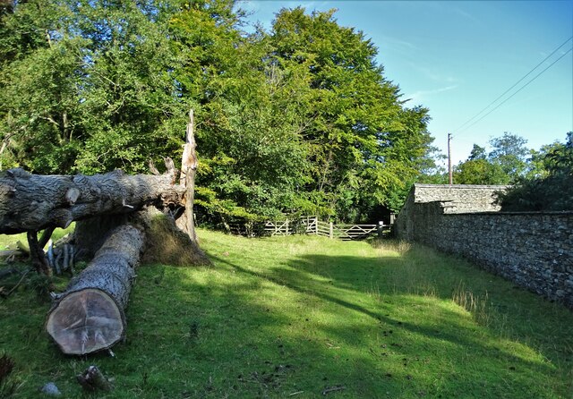
Nature plays a prominent role in the daily life of Addison Wood's inhabitants. The surrounding forest provides ample opportunities for hiking, walking, and exploring the great outdoors. The woodlands are home to a diverse range of wildlife, including deer, birds, and various species of flora and fauna.
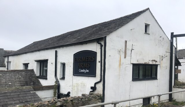
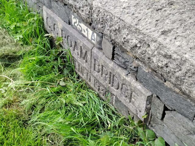
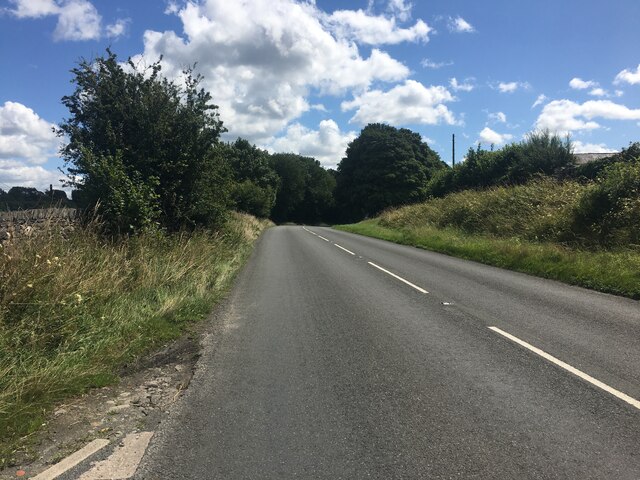
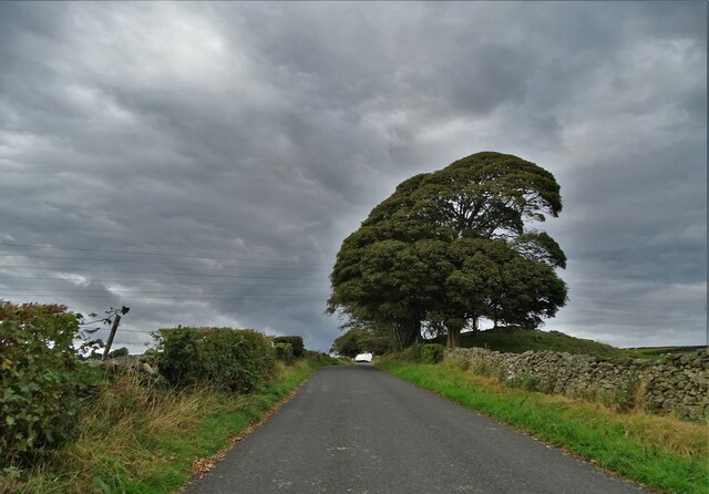
Despite its secluded location, Addison Wood is well-connected to nearby towns and cities. The village has good transport links, making it convenient for residents to access essential amenities and services. Additionally, the village is home to a small local shop and a community center, where residents can socialize and participate in various activities.
In conclusion, Addison Wood is a charming village nestled within a forested area in Lancashire. Boasting natural beauty, a close-knit community, and a peaceful ambiance, it offers an ideal escape from the urban lifestyle.
If you have any feedback on the listing, please let us know in the comments section below.
Addison Wood Images
Images are sourced within 2km of 54.241955/-3.0694522 or Grid Reference SD3083. Thanks to Geograph Open Source API. All images are credited.

Addison Wood is located at Grid Ref: SD3083 (Lat: 54.241955, Lng: -3.0694522)
Administrative County: Cumbria
District: South Lakeland
Police Authority: Cumbria
What 3 Words
///audit.scrolled.marathons. Near Ulverston, Cumbria
Nearby Locations
Related Wikis

St Mary's Church, Penny Bridge
St Mary's Church is on a site overlooking the villages of Penny Bridge and Greenodd, in the parish of Egton with Newland, Cumbria, England. It is an active...

Egton with Newland
Egton with Newland, sometimes written as "Egton-with-Newland", is a civil parish in the South Lakeland district of the English county of Cumbria. It includes...

Greenodd
Greenodd is a village in the Furness area of the county of Cumbria, England, but within the historical county of Lancashire. For local government purposes...
Beck Bottom
Beck Bottom is a village in Cumbria, England.
Nearby Amenities
Located within 500m of 54.241955,-3.0694522Have you been to Addison Wood?
Leave your review of Addison Wood below (or comments, questions and feedback).