Sluice Wood
Wood, Forest in Lancashire South Lakeland
England
Sluice Wood
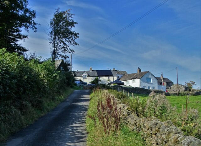
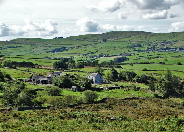
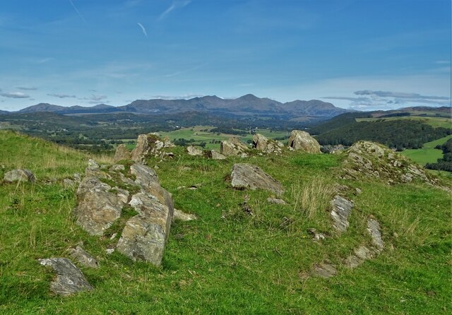
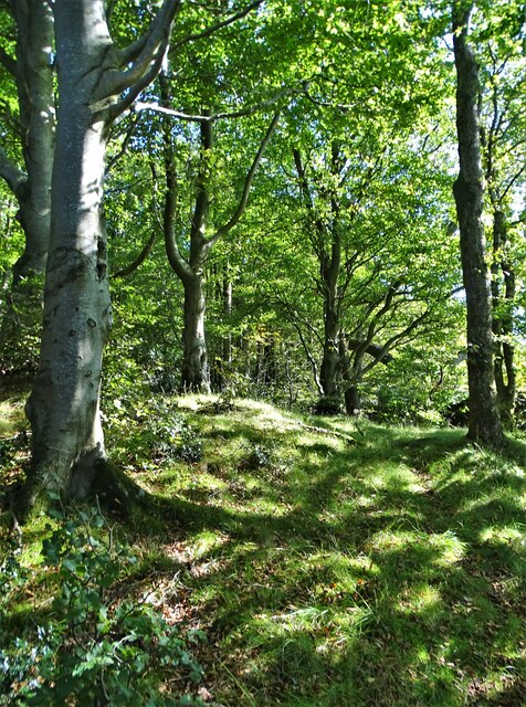
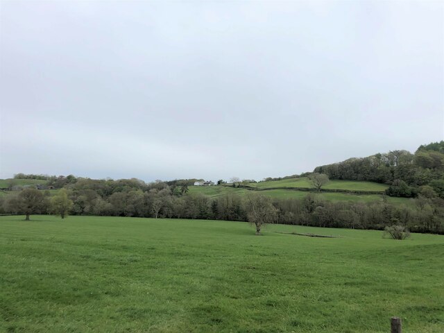
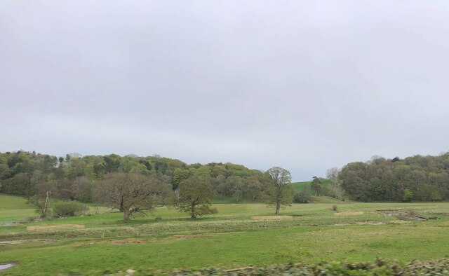
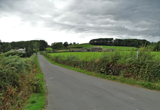
Sluice Wood is a picturesque woodland located in Lancashire, England. Covering an area of approximately 100 acres, this dense forest is a haven for nature enthusiasts and outdoor adventurers alike. Situated on the outskirts of the charming village of Wood, Sluice Wood offers a tranquil escape from the hustle and bustle of city life.
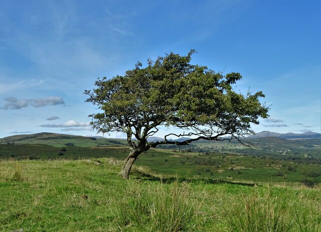
The woodland is predominantly composed of a variety of deciduous trees, such as oak, beech, and ash, creating a diverse and vibrant ecosystem. The forest floor is adorned with a carpet of ferns, bluebells, and wildflowers, adding to the enchanting atmosphere of the wood.
Sluice Wood is intersected by a gentle stream that meanders through the heart of the forest, providing a soothing soundtrack and creating small cascades and pools along its course. This water source attracts a wide range of wildlife, including birds, squirrels, and deer, making it an ideal spot for birdwatching and wildlife photography.
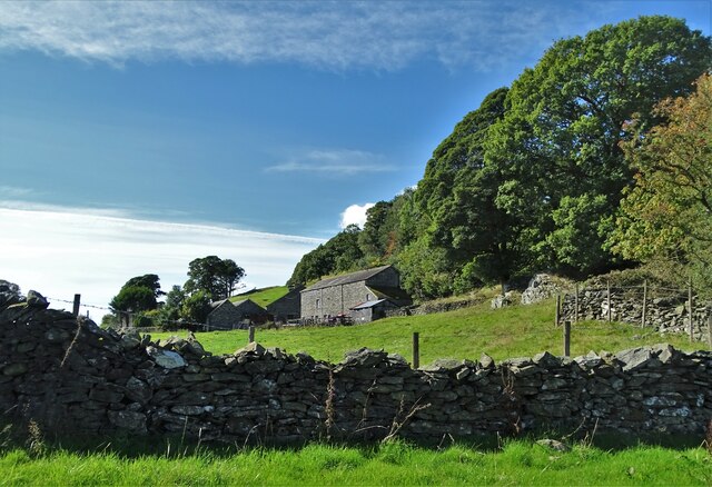
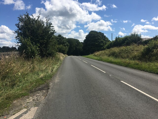
The woodland is crisscrossed by a network of well-maintained trails, allowing visitors to explore the area at their own pace. These paths lead to hidden clearings, viewpoints, and picnic spots, providing ample opportunities for relaxation and contemplation.
Sluice Wood is also a popular destination for outdoor activities such as hiking and mountain biking. The undulating terrain and well-marked trails make it an enjoyable and challenging experience for outdoor enthusiasts of all levels.
Overall, Sluice Wood in Lancashire is a stunning natural gem, offering a peaceful retreat and a chance to connect with nature in a serene and idyllic setting.
If you have any feedback on the listing, please let us know in the comments section below.
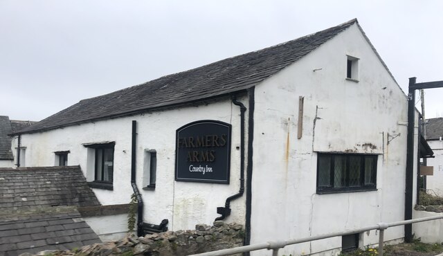
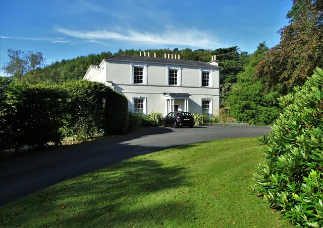
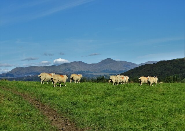
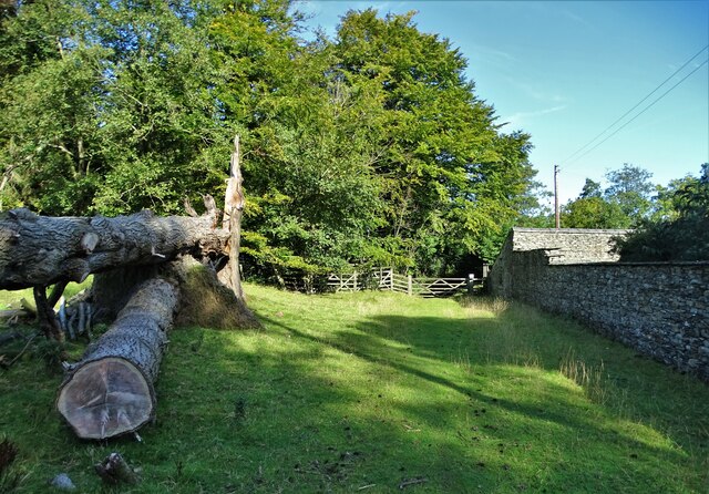
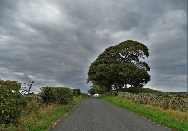
Sluice Wood Images
Images are sourced within 2km of 54.243269/-3.0732919 or Grid Reference SD3083. Thanks to Geograph Open Source API. All images are credited.
Sluice Wood is located at Grid Ref: SD3083 (Lat: 54.243269, Lng: -3.0732919)
Administrative County: Cumbria
District: South Lakeland
Police Authority: Cumbria
What 3 Words
///booster.chip.heartened. Near Ulverston, Cumbria
Nearby Locations
Related Wikis

Beck Bottom
Beck Bottom is a village in Cumbria, England.
St Mary's Church, Penny Bridge
St Mary's Church is on a site overlooking the villages of Penny Bridge and Greenodd, in the parish of Egton with Newland, Cumbria, England. It is an active...

Spark Bridge
Spark Bridge is a former mill village in Cumbria, England, within the Lake District National Park, and within the historic boundaries of Lancashire. The...

Egton with Newland
Egton with Newland, sometimes written as "Egton-with-Newland", is a civil parish in the South Lakeland district of the English county of Cumbria. It includes...
Related Videos

River Deep Mountain High Bunkhouse Outside space
A walk around our car park, patio and bonfire pit area.

Storm Damage Arwen Ulverston to Coniston (2)
Drive from Ulverston to Coniston after Storm Damage Arwen at the weekend.

THE DISCO 2 LOVES A GOOD ROCK CRAWL #4wd #4x4 #adventure #landrover #offroad #4x4ing
follow us on the social media to never miss anything NW4X4 are up to. also make sure to sub to the channel, ...
Nearby Amenities
Located within 500m of 54.243269,-3.0732919Have you been to Sluice Wood?
Leave your review of Sluice Wood below (or comments, questions and feedback).