Sand Hole Wood

Wood, Forest in Lancashire South Lakeland

England

Sand Hole Wood

The hamlet of Wood End
The hamlet of Wood End Credit: Neil Theasby

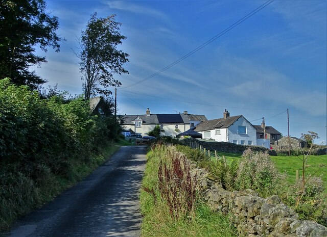
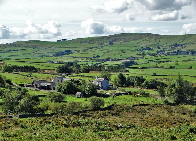
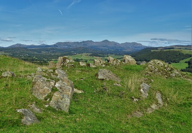
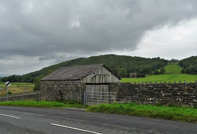
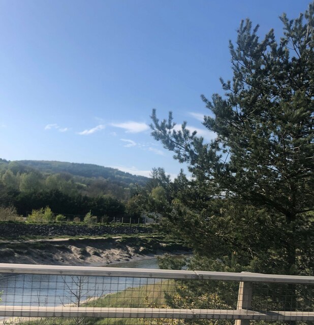
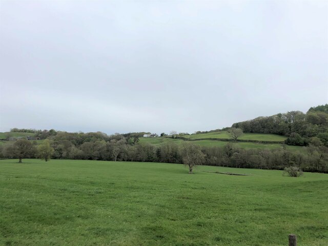
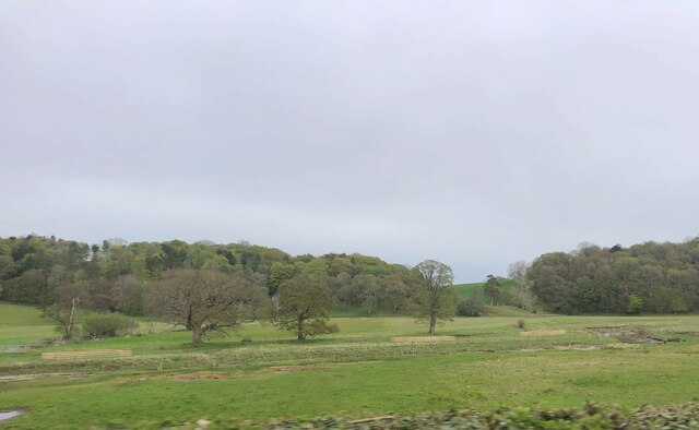
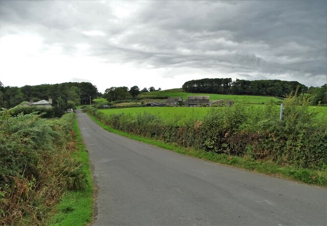
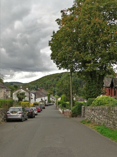
Sand Hole Wood is a picturesque woodland located in Lancashire, England. It covers an area of approximately 50 acres and is known for its diverse range of flora and fauna. The wood is situated on the outskirts of a small village, providing a peaceful and tranquil environment for visitors.

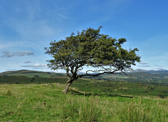
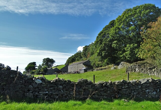
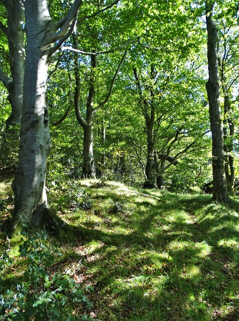
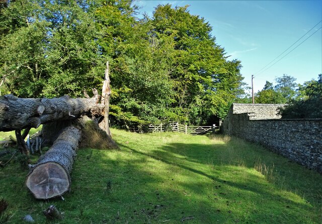
The wood is predominantly composed of native broadleaf trees such as oak, beech, and birch, which create a dense canopy overhead. This canopy allows only small patches of sunlight to filter through, creating a dappled effect on the forest floor. The woodland is also home to a variety of shrubs, wildflowers, and ferns, further enhancing its natural beauty.

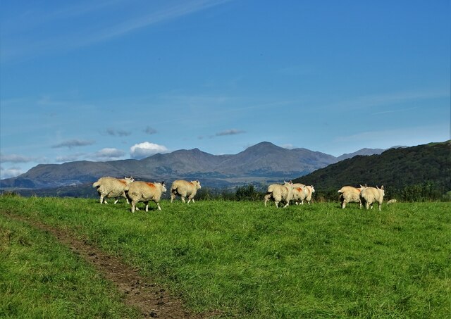
Sand Hole Wood is a haven for wildlife enthusiasts, as it provides a habitat for numerous species. Birdwatchers can spot a range of woodland birds such as woodpeckers, tits, and thrushes. Additionally, the wood is inhabited by mammals including deer, foxes, and squirrels. Visitors may also come across reptiles such as adders and slow worms, as well as a variety of insects and butterflies.

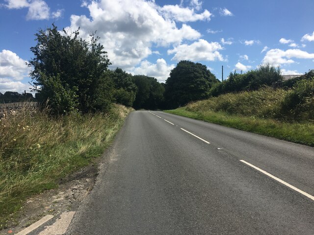
The wood offers several walking trails, allowing visitors to explore its beauty at their own pace. These trails are well-maintained and clearly signposted, making navigation easy for all. Along the way, visitors can enjoy the peaceful ambiance of the woodland, the gentle rustling of leaves, and the occasional sound of birdsong.

Overall, Sand Hole Wood in Lancashire offers a delightful escape into nature, providing a serene and enchanting experience for all who visit.

If you have any feedback on the listing, please let us know in the comments section below.

Sand Hole Wood Images

Images are sourced within 2km of 54.244742/-3.0734376 or Grid Reference SD3083. Thanks to Geograph Open Source API. All images are credited.

The hamlet of Wood End
Bent hawthorn tree at Lads Head
A view of Cold Yeat Farm
High Scathwaite Farm
At Lads Head looking north to The Lake District hills
A Sunny September Morning Entering Lads Head Plantation
A Sunny September Morning
Entering Lads Head Plantation
Farm building at Lowick Green
River Crake at Greenodd Near its confluence with the River Leven
River Crake at Greenodd
Near its confluence with the River Leven
The Farmer's Arms Wayside public house at Spark Bridge
The Farmer's Arms
Wayside public house at Spark Bridge
Pasture south of Spark Bridge The River Crake runs left to right with trees along its bank at the far side of this field.
Pasture south of Spark Bridge
The River Crake runs left to right with trees along its bank at the far side of this field.
Farmland at Penny Bridge The River Crake runs across this farmland short of its confluence with the River Leven
Farmland at Penny Bridge
The River Crake runs across this farmland short of its confluence with the River Leven
A5092 near Lowick Green
Summer Hill A Georgian mansion near Spark Bridge, Cumbria
Summer Hill
A Georgian mansion near Spark Bridge, Cumbria
Sheep pasture near Wood End
Footpath at Summer Hill Passing west of the small estate with its Georgian country house
Footpath at Summer Hill
Passing west of the small estate with its Georgian country house
Lane to Smithy Green
Oak Vale, Penny Bridge
Show me another place!

Sand Hole Wood is located at Grid Ref: SD3083 (Lat: 54.244742, Lng: -3.0734376)

Administrative County: Cumbria

District: South Lakeland

Police Authority: Cumbria

What 3 Words

///charge.purified.buying. Near Ulverston, Cumbria

Related Wikis

Beck Bottom

Beck Bottom is a village in Cumbria, England.

Spark Bridge

Spark Bridge is a former mill village in Cumbria, England, within the Lake District National Park, and within the historic boundaries of Lancashire. The...

St Mary's Church, Penny Bridge

St Mary's Church is on a site overlooking the villages of Penny Bridge and Greenodd, in the parish of Egton with Newland, Cumbria, England. It is an active...

Egton with Newland

Egton with Newland, sometimes written as "Egton-with-Newland", is a civil parish in the South Lakeland district of the English county of Cumbria. It includes...

Nearby Amenities

Located within 500m of 54.244742,-3.0734376
Barrier: stile
Lat/Long: 54.2413566/-3.0738947
Barrier: stile
Lat/Long: 54.24158/-3.0752549
Barrier: stile
Lat/Long: 54.2431123/-3.0775265
Barrier: kissing_gate
Lat/Long: 54.2449178/-3.0755529
Barrier: stile
Lat/Long: 54.2435628/-3.0805294
Power: pole
Lat/Long: 54.2429079/-3.0789306
Power: pole
Lat/Long: 54.2435329/-3.0773429
Power: pole
Lat/Long: 54.2443107/-3.0766655
Power: pole
Lat/Long: 54.2451051/-3.0759405
Power: pole
Lat/Long: 54.2457773/-3.0753725
Power: pole
Lat/Long: 54.2465578/-3.074657
Power: pole
Lat/Long: 54.2472522/-3.0744431
Power: pole
Lat/Long: 54.2480285/-3.0742102
Power: pole
Lat/Long: 54.2477202/-3.0695444
Power: pole
Lat/Long: 54.2470883/-3.0695542
Power: pole
Lat/Long: 54.2460272/-3.0695706
Power: pole
Lat/Long: 54.2454814/-3.0691499
Power: pole
Lat/Long: 54.2446995/-3.0685486
Power: pole
Lat/Long: 54.244037/-3.0680851
Power: pole
Lat/Long: 54.2431329/-3.0672722
Power: pole
Lat/Long: 54.2468619/-3.0709278
Power: pole
Lat/Long: 54.247173/-3.0703668
Power: pole
Lat/Long: 54.2470286/-3.068917
Power: pole
Lat/Long: 54.2421211/-3.0775936
Power: pole
Lat/Long: 54.242578/-3.0771325
Power: pole
Lat/Long: 54.2430641/-3.077312
The data included in this document is from www.openstreetmap.org. The data is made available under ODbL.

Have you been to Sand Hole Wood?

Leave your review of Sand Hole Wood below (or comments, questions and feedback).