High Wood
Wood, Forest in Lancashire South Lakeland
England
High Wood

High Wood is a small village located in the county of Lancashire, England. It is situated near the town of Wood, surrounded by dense forest and scenic landscapes. The village is known for its tranquil and picturesque surroundings, making it a popular destination for nature lovers and outdoor enthusiasts.
High Wood is renowned for its rich history, dating back to medieval times. The area was initially covered in dense woodland, hence its name. Over the years, the forest was cleared to make way for agricultural activities, but remnants of the ancient woodland can still be seen today.
The village itself is characterized by a collection of charming cottages and traditional houses, many of which date back several centuries. The local community is tight-knit and welcoming, making visitors feel at home.
For those who enjoy exploring the great outdoors, High Wood offers numerous walking and hiking trails that meander through the surrounding forest and countryside. These trails provide breathtaking views of the landscape and opportunities to observe local wildlife, including deer, birds, and various plant species.
High Wood is also home to a few local businesses, including a small village store and a traditional pub. These establishments offer a taste of rural life and provide essential services to residents and visitors alike.
Overall, High Wood in Lancashire is a hidden gem, offering a peaceful retreat from the hustle and bustle of city life. With its natural beauty and historical charm, it is a destination that captivates and enchants all who visit.
If you have any feedback on the listing, please let us know in the comments section below.
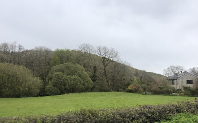
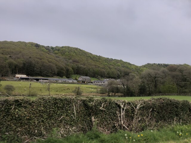
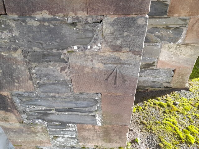
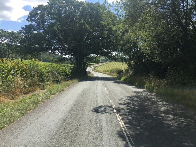
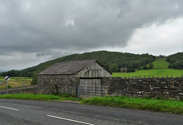
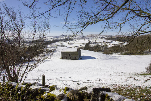
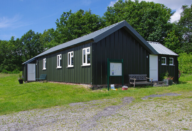
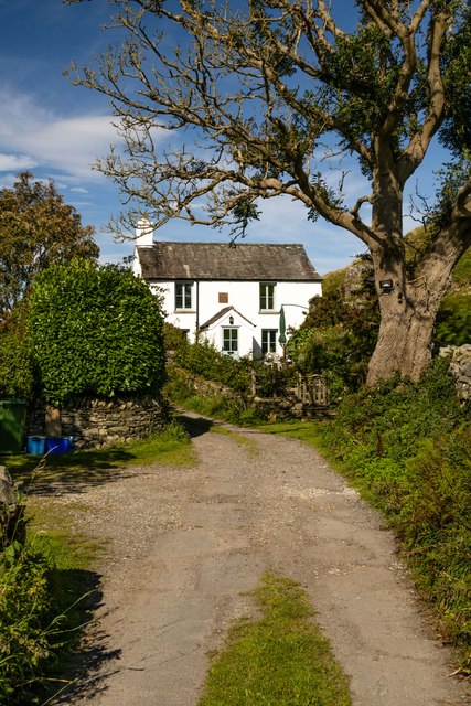
High Wood Images
Images are sourced within 2km of 54.277449/-3.070356 or Grid Reference SD3087. Thanks to Geograph Open Source API. All images are credited.


High Wood is located at Grid Ref: SD3087 (Lat: 54.277449, Lng: -3.070356)
Administrative County: Cumbria
District: South Lakeland
Police Authority: Cumbria
What 3 Words
///teams.obstruct.landed. Near Ulverston, Cumbria
Nearby Locations
Related Wikis

Bandrake Head
Bandrake Head is a village in Cumbria, England. == External links == Media related to Bandrake Head at Wikimedia Commons

Lowick, Cumbria
Lowick is a village and civil parish in the South Lakeland district of the English county of Cumbria. Prior to 1 April 1974 it was part of Lancashire,...

Furness
Furness ( FUR-niss, fur-NESS) is a peninsula and region of Cumbria, England. Together with the Cartmel Peninsula it forms North Lonsdale, historically...

Oxen Park
Oxen Park is a hamlet in the English county of Cumbria. Oxen Park lies on the watershed between Rusland and Colton Beck valleys in South Lakeland, and...
Related Videos

Crake Valley Promo Video 2021
Crake Valley Holiday Park, near Coniston, Lake District, UK.

Scafell Lodge Promo
Scafell lodge, crake valley holiday park, Lake District accommodation.


The Cedars Lodge Promotional Video
The Cedars Lodge, Crake Valley Holiday Park, Coniston, Lake District. Accommodation in the Lake District UK.
Nearby Amenities
Located within 500m of 54.277449,-3.070356Have you been to High Wood?
Leave your review of High Wood below (or comments, questions and feedback).