Finglandrigg Wood
Wood, Forest in Cumberland Allerdale
England
Finglandrigg Wood
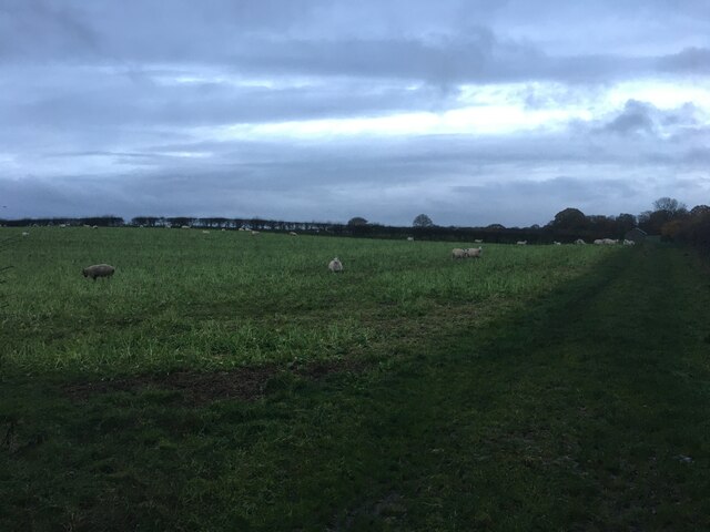
Finglandrigg Wood, located in Cumberland, England, is a picturesque woodland area known for its natural beauty and rich biodiversity. Spanning over a vast area, the wood is a popular destination for nature enthusiasts, walkers, and birdwatchers alike.
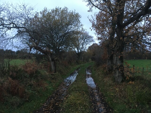
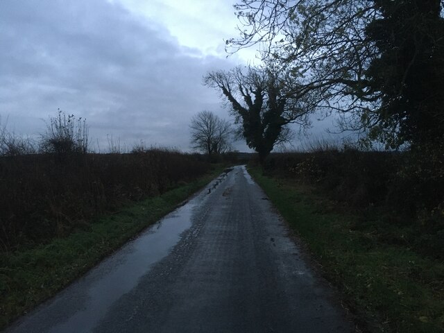
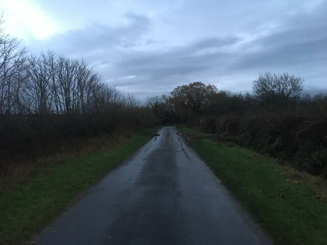
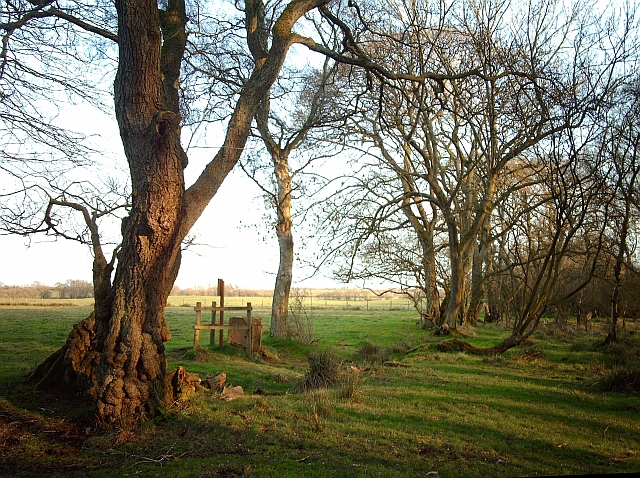
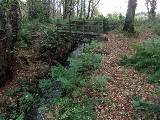
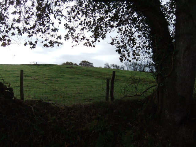
The wood is characterized by a diverse range of tree species, including oak, birch, and beech, which create a dense canopy overhead, providing a cool and peaceful atmosphere. The forest floor is covered with a thick layer of moss, ferns, and wildflowers, adding to the enchanting ambiance of the wood.
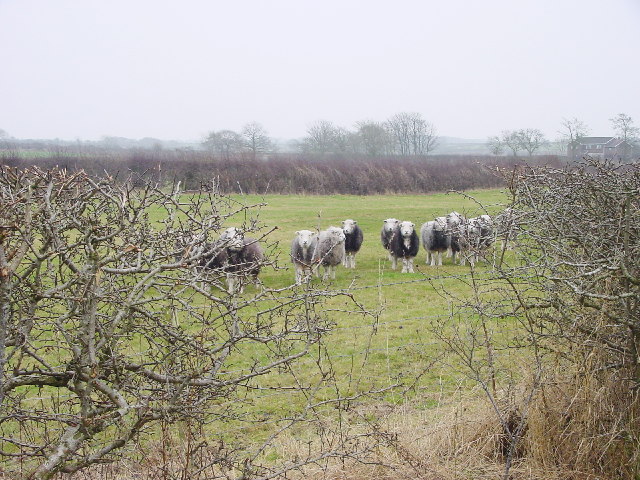
Finglandrigg Wood is not only visually appealing but also houses a variety of wildlife. The wood provides a habitat for numerous bird species, such as woodpeckers, owls, and warblers, making it a haven for birdwatchers. Additionally, small mammals like squirrels, foxes, and rabbits can be spotted among the trees, adding to the woodland's charm.
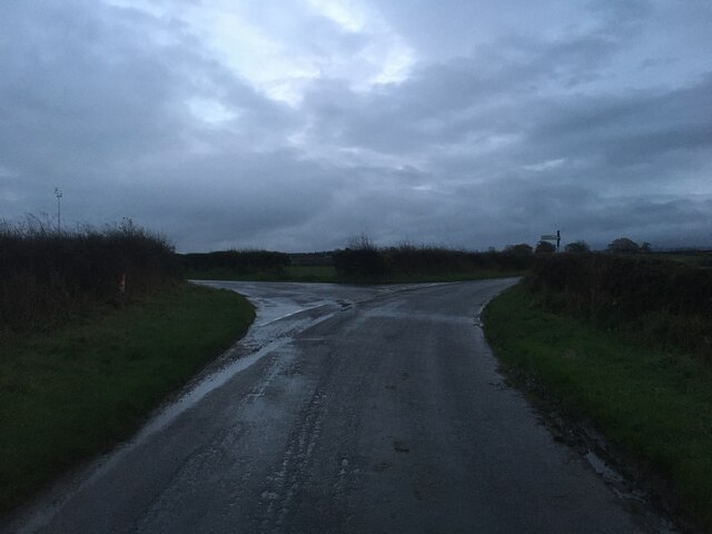
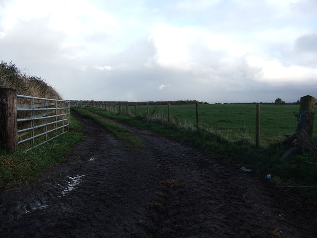
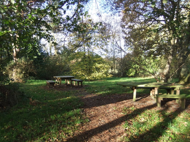
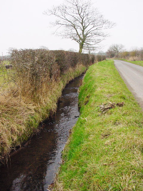
There are several well-maintained walking trails that wind through Finglandrigg Wood, offering visitors the opportunity to explore the area at their own pace. The trails vary in difficulty, catering to both casual walkers and more experienced hikers. Along the way, walkers can enjoy scenic viewpoints and may even stumble upon hidden streams or ponds, adding to the sense of discovery.
Finglandrigg Wood is a true gem in the Cumberland countryside, offering a peaceful escape from the hustle and bustle of daily life. Its natural beauty, diverse wildlife, and well-maintained trails make it an ideal destination for nature lovers and those seeking tranquility in a woodland setting.
If you have any feedback on the listing, please let us know in the comments section below.
Finglandrigg Wood Images
Images are sourced within 2km of 54.900397/-3.1352096 or Grid Reference NY2756. Thanks to Geograph Open Source API. All images are credited.

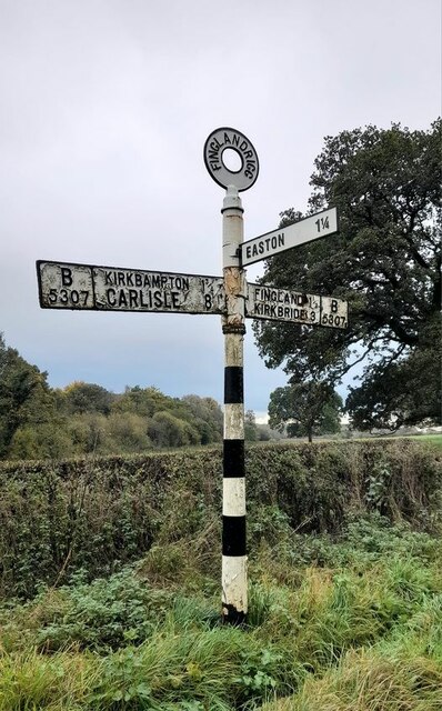
Finglandrigg Wood is located at Grid Ref: NY2756 (Lat: 54.900397, Lng: -3.1352096)
Administrative County: Cumbria
District: Allerdale
Police Authority: Cumbria
What 3 Words
///october.frown.flashing. Near Wigton, Cumbria
Nearby Locations
Related Wikis

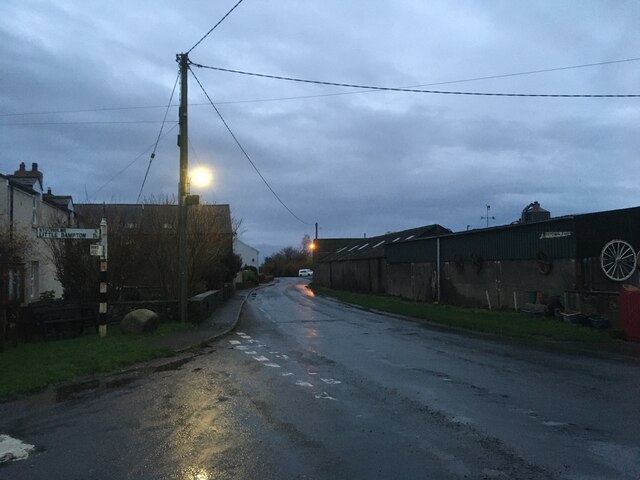
Little Bampton
Little Bampton is a village in Cumbria situated 6 miles outside the market town of Wigton and 8 miles west of Carlisle, England. The village comprises...

Studholme, Cumbria
Studholme is a hamlet in the English county of Cumbria. Studholme is located about a mile north-west of the village of Little Bampton. == External links... ==

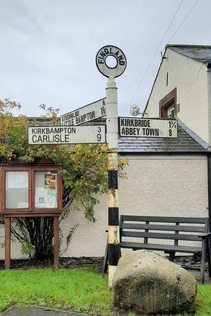
Fingland
Fingland is a hamlet in the Allerdale district, in the county of Cumbria, England. Fingland is located on the B5307 road in between the villages of Kirkbride...
Oughterby
Oughterby is a hamlet in the English county of Cumbria. It is near the city of Carlisle and the village of Kirkbampton. For transport there is the B5307...
Nearby Amenities
Located within 500m of 54.900397,-3.1352096Have you been to Finglandrigg Wood?
Leave your review of Finglandrigg Wood below (or comments, questions and feedback).