America Plantation
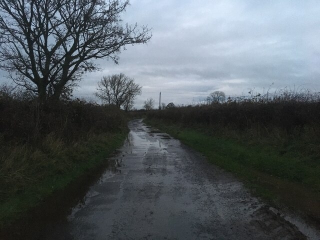
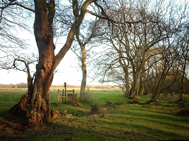
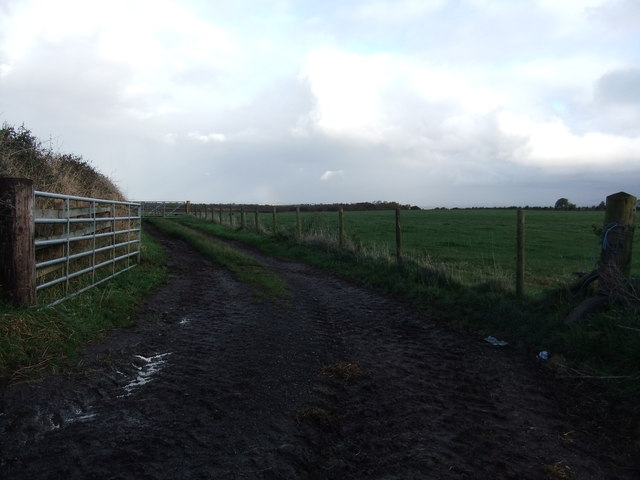
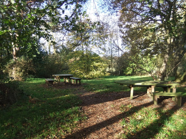
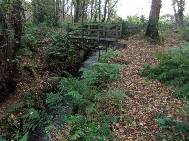
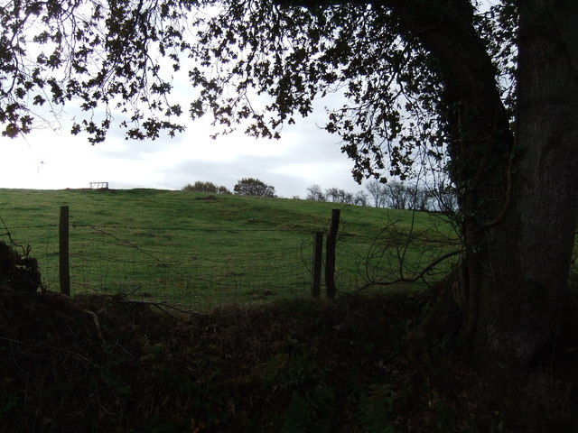
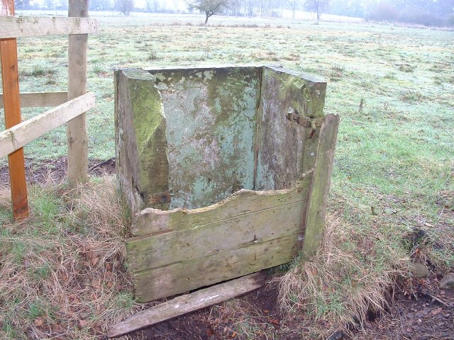
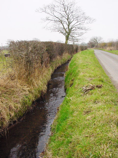
Wood, Forest in Cumberland Allerdale
England
America Plantation
America Plantation, Cumberland, also known as Wood or Forest Plantation, is a historic property located in the Cumberland County of North Carolina, United States. Spanning over a vast area, the plantation holds significant historical and cultural value.
Established in the early 18th century, America Plantation was primarily a tobacco plantation. The plantation was owned and operated by wealthy landowners who employed enslaved Africans to work the fields. The fertile soil and favorable climate of the region made it ideal for cultivating tobacco, which was the primary cash crop of the plantation.
The plantation's main house, a grand colonial-style mansion, served as the residence for the plantation owner and their family. It was a symbol of wealth and prosperity, featuring intricate architectural details and luxurious furnishings.
Apart from tobacco cultivation, the plantation also had other agricultural activities such as the production of corn, wheat, and other staple crops. Additionally, there were various outbuildings and quarters for enslaved individuals, which are now preserved as a reminder of the plantation's dark past.
Today, America Plantation stands as a historic landmark, offering visitors a glimpse into the antebellum era of southern plantation life. The plantation and its surrounding grounds have been preserved and restored, allowing visitors to explore the history and culture associated with this once-thriving agricultural estate.
If you have any feedback on the listing, please let us know in the comments section below.
America Plantation Images
Images are sourced within 2km of 54.900015/-3.1395497 or Grid Reference NY2756. Thanks to Geograph Open Source API. All images are credited.
America Plantation is located at Grid Ref: NY2756 (Lat: 54.900015, Lng: -3.1395497)
Administrative County: Cumbria
District: Allerdale
Police Authority: Cumbria
What 3 Words
///liquid.breed.lofts. Near Wigton, Cumbria
Nearby Locations
Related Wikis

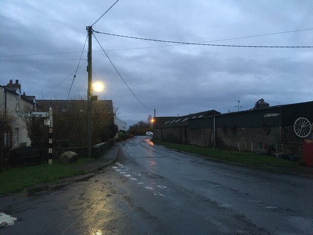
Little Bampton
Little Bampton is a village in Cumbria situated 6 miles outside the market town of Wigton and 8 miles west of Carlisle, England. The village comprises...

Studholme, Cumbria
Studholme is a hamlet in the English county of Cumbria. Studholme is located about a mile north-west of the village of Little Bampton. == External links... ==

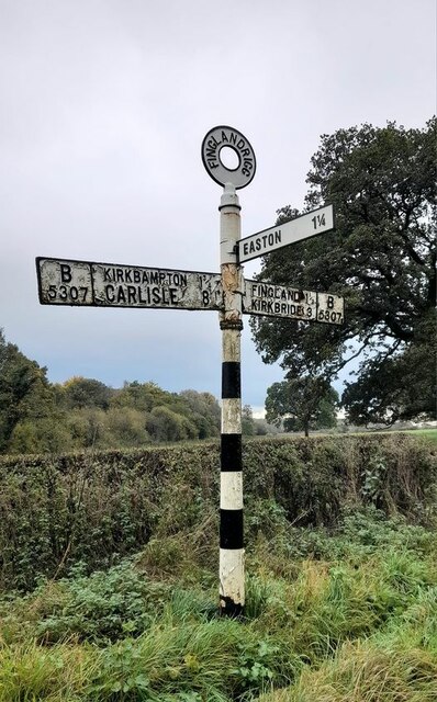
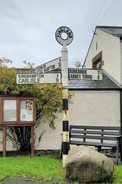
Fingland
Fingland is a hamlet in the Allerdale district, in the county of Cumbria, England. Fingland is located on the B5307 road in between the villages of Kirkbride...

Drumburgh
Drumburgh ( DRUM-bruff) is a small settlement in Cumbria, England. It is 13 kilometres (8 mi) northwest of the city of Carlisle and is on the course of...
Oughterby
Oughterby is a hamlet in the English county of Cumbria. It is near the city of Carlisle and the village of Kirkbampton. For transport there is the B5307...

Drumburgh railway station
Drumburgh railway station was near the village of Drumburgh (pronounced "Drumbruff"), Cumbria, England. It was the junction station for the Port Carlisle...

Drumburgh Castle
Drumburgh Castle is a medieval pele tower in the village of Drumburgh, in Cumbria, England. == History == A pele tower was originally built on this site...
Coggabata
Coggabata, or Congavata / Concavata, (with the modern name of Drumburgh) was a Roman fort on Hadrian's Wall, between Aballava (Burgh by Sands) to the east...
Nearby Amenities
Located within 500m of 54.900015,-3.1395497Have you been to America Plantation?
Leave your review of America Plantation below (or comments, questions and feedback).