Little Bampton Moss
Wood, Forest in Cumberland Allerdale
England
Little Bampton Moss
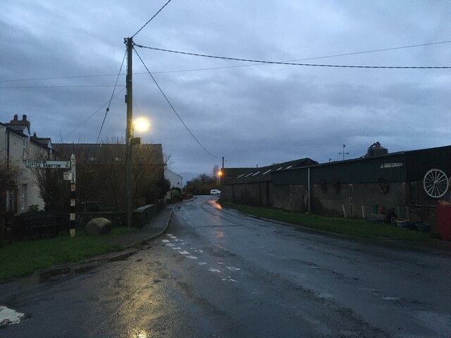
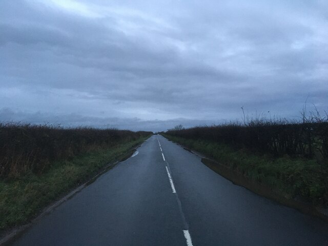
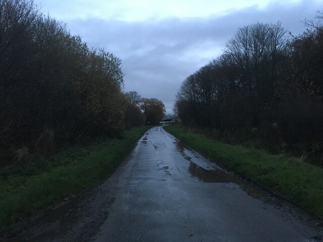
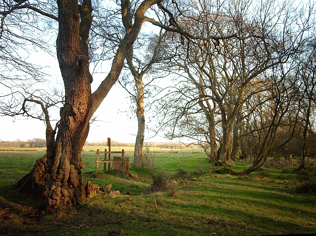
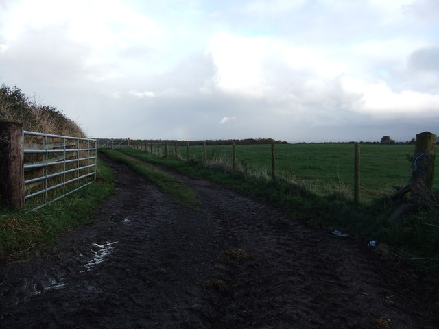
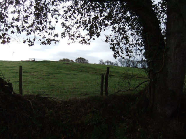
Little Bampton Moss is a small wooded area located in the county of Cumberland, England. Nestled within the picturesque countryside, this forested expanse spans approximately 200 acres. The moss is characterized by its dense cover of mature trees, predominantly consisting of oak, beech, and birch.
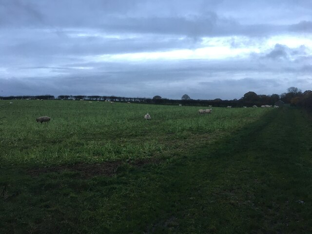
The forest boasts a rich and diverse ecosystem, providing a habitat for a variety of flora and fauna. The woodland floor is adorned with a carpet of vibrant wildflowers, including bluebells and primroses, creating a breathtaking display during the spring months. Towering above these delicate flowers are the majestic trees, their branches forming a lush canopy that offers shade and shelter to numerous woodland creatures.
Little Bampton Moss is home to a wide range of animal species, making it a popular destination for nature enthusiasts and wildlife observers. Deer, foxes, badgers, and squirrels are frequently spotted roaming through the forest, while birdwatchers can delight in the sight of woodpeckers, owls, and thrushes.
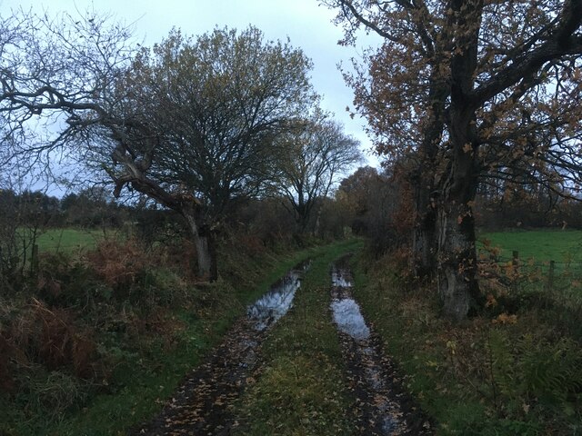
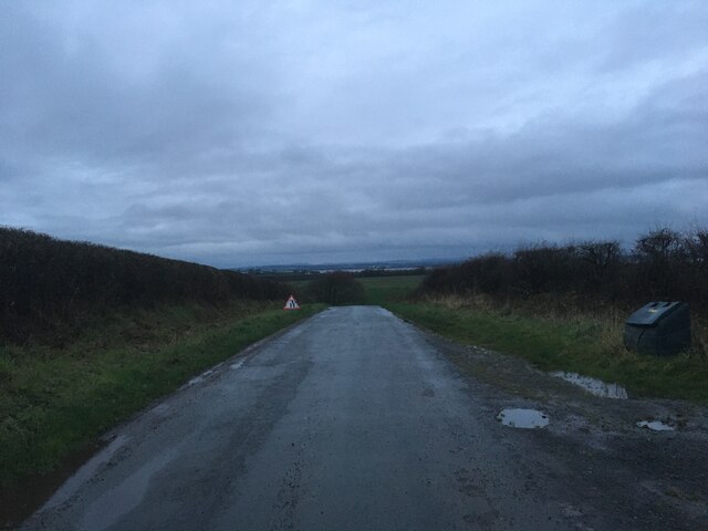
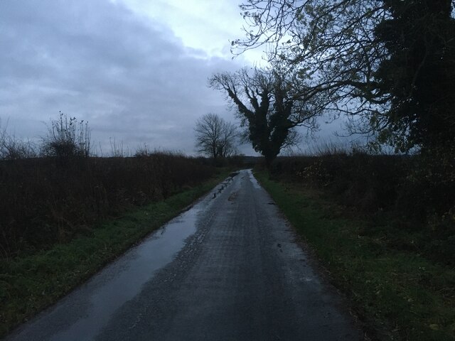
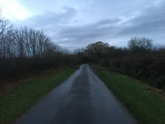
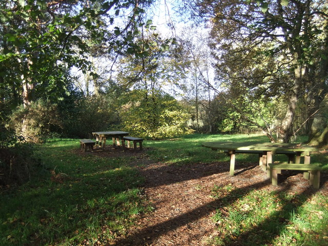
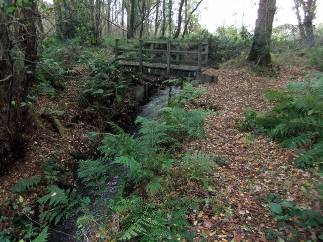
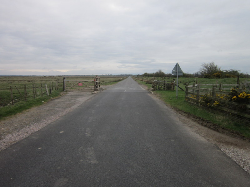
The moss is crisscrossed by a network of well-maintained trails, allowing visitors to explore its natural beauty at their own pace. These paths wind through the forest, offering glimpses of tranquil ponds and babbling brooks along the way. The serene atmosphere of Little Bampton Moss provides a perfect escape from the hustle and bustle of everyday life.
Whether visitors are seeking a peaceful walk in nature, a chance to spot wildlife, or simply a moment of tranquility, Little Bampton Moss offers a serene and captivating experience. Its idyllic woodland setting and diverse ecosystem make it a true gem within the Cumberland countryside.
If you have any feedback on the listing, please let us know in the comments section below.
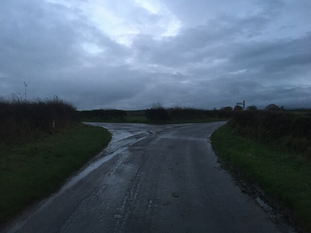
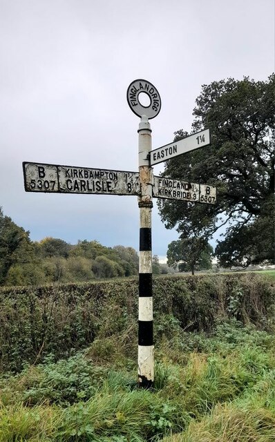
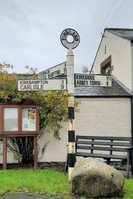
Little Bampton Moss Images
Images are sourced within 2km of 54.901027/-3.1322331 or Grid Reference NY2756. Thanks to Geograph Open Source API. All images are credited.
Little Bampton Moss is located at Grid Ref: NY2756 (Lat: 54.901027, Lng: -3.1322331)
Administrative County: Cumbria
District: Allerdale
Police Authority: Cumbria
What 3 Words
///skin.jousting.laminate. Near Wigton, Cumbria
Nearby Locations
Related Wikis

Little Bampton
Little Bampton is a village in Cumbria situated 6 miles outside the market town of Wigton and 8 miles west of Carlisle, England. The village comprises...

Studholme, Cumbria
Studholme is a hamlet in the English county of Cumbria. Studholme is located about a mile north-west of the village of Little Bampton. == External links... ==

Fingland
Fingland is a hamlet in the Allerdale district, in the county of Cumbria, England. Fingland is located on the B5307 road in between the villages of Kirkbride...
Oughterby
Oughterby is a hamlet in the English county of Cumbria. It is near the city of Carlisle and the village of Kirkbampton. For transport there is the B5307...

Drumburgh
Drumburgh ( DRUM-bruff) is a small settlement in Cumbria, England. It is 13 kilometres (8 mi) northwest of the city of Carlisle and is on the course of...

Drumburgh railway station
Drumburgh railway station was near the village of Drumburgh (pronounced "Drumbruff"), Cumbria, England. It was the junction station for the Port Carlisle...
Boustead Hill
Boustead Hill is a hamlet in Cumbria, England. It has two separate equestrian centres. In 1831 the township had a population of 63.It is located close...
Milecastle 75
Milecastle 75 (Easton) was one of a series of Milecastles or small fortlets built at intervals of approximately one Roman mile along Hadrian's Wall in...
Nearby Amenities
Located within 500m of 54.901027,-3.1322331Have you been to Little Bampton Moss?
Leave your review of Little Bampton Moss below (or comments, questions and feedback).