Brownrigg Plantation
Wood, Forest in Cumberland Allerdale
England
Brownrigg Plantation
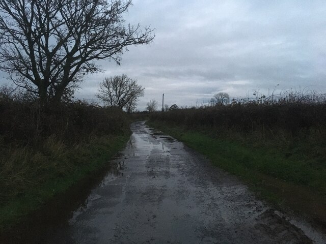
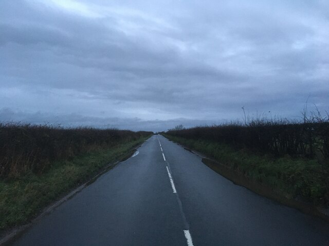
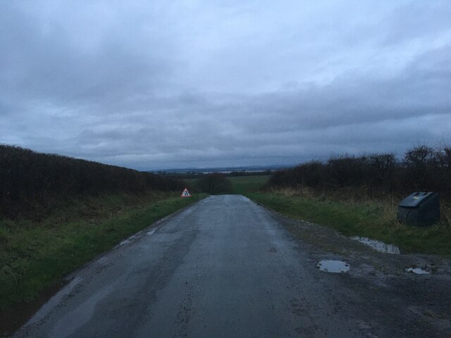
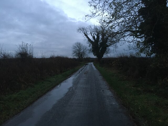
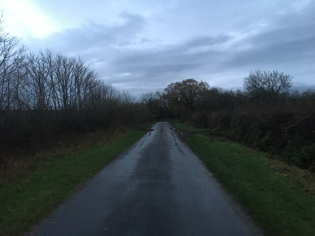
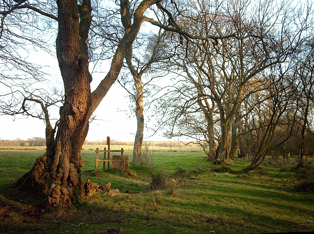
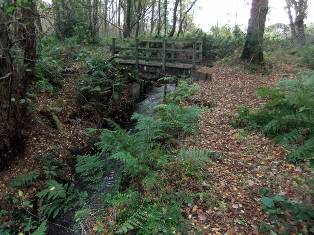
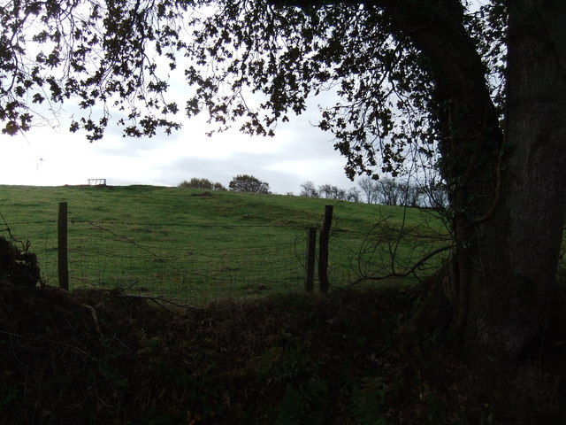
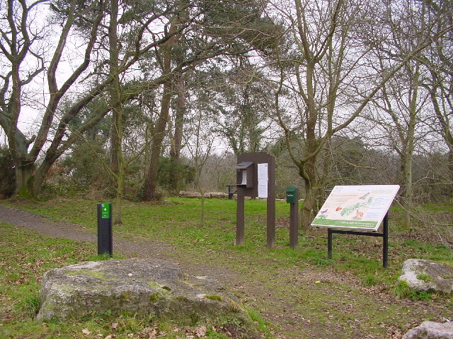
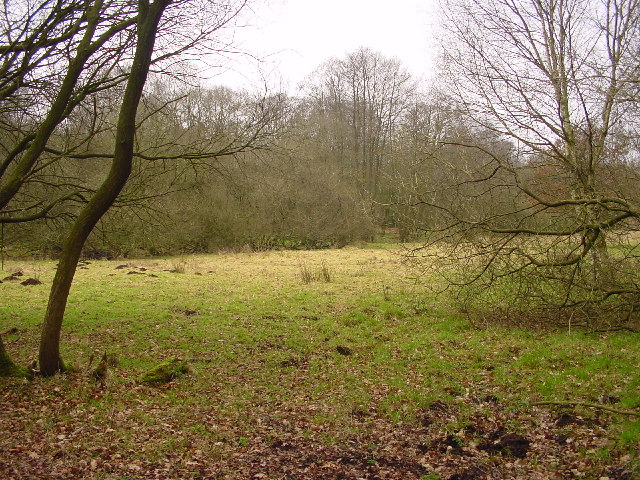
Brownrigg Plantation, located in Cumberland, is an expansive woodland area that covers approximately 500 acres. Situated in the heart of the county, this plantation is renowned for its diverse range of plant and animal species, offering a haven for nature enthusiasts and researchers alike. The plantation is primarily composed of dense forests, providing a rich habitat for a variety of flora and fauna.
The dominant tree species found in Brownrigg Plantation include oak, ash, beech, and birch, creating a dynamic and visually appealing landscape. The forest floor is adorned with an array of wildflowers, such as bluebells and primroses, adding a burst of color to the woodland during springtime.
The plantation is home to a plethora of wildlife, including several species of deer, squirrels, foxes, and badgers. Birdwatchers are particularly drawn to Brownrigg, as it serves as a nesting ground for various avian species, including woodpeckers, owls, and buzzards. The diverse habitat supports a range of insects, contributing to the plantation's ecological balance.
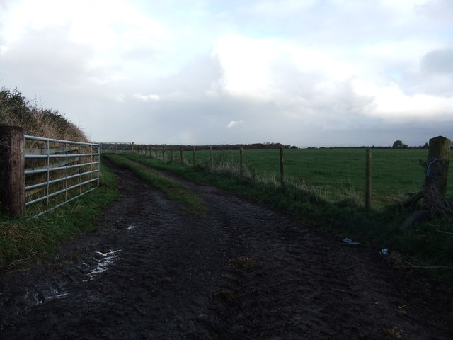
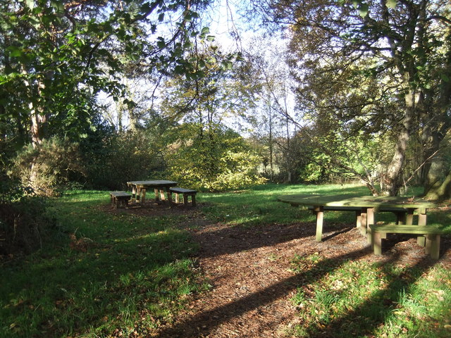
In addition to its natural beauty, Brownrigg Plantation offers recreational activities for visitors. There are well-maintained walking trails that wind through the woodland, allowing hikers and nature enthusiasts to explore the plantation's scenic beauty. The plantation also provides educational opportunities, with guided tours and workshops on topics such as forestry management and conservation.
Overall, Brownrigg Plantation in Cumberland is an enchanting woodland area that showcases the captivating beauty of nature. Its diverse range of plant and animal species, coupled with recreational and educational opportunities, make it a cherished destination for both locals and tourists seeking a tranquil retreat in the heart of Cumberland.
If you have any feedback on the listing, please let us know in the comments section below.
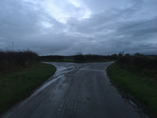
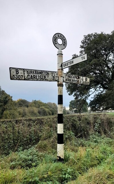
Brownrigg Plantation Images
Images are sourced within 2km of 54.897662/-3.1394209 or Grid Reference NY2756. Thanks to Geograph Open Source API. All images are credited.
Brownrigg Plantation is located at Grid Ref: NY2756 (Lat: 54.897662, Lng: -3.1394209)
Administrative County: Cumbria
District: Allerdale
Police Authority: Cumbria
What 3 Words
///filer.greed.grant. Near Wigton, Cumbria
Nearby Locations
Related Wikis

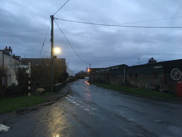
Little Bampton
Little Bampton is a village in Cumbria situated 6 miles outside the market town of Wigton and 8 miles west of Carlisle, England. The village comprises...

Studholme, Cumbria
Studholme is a hamlet in the English county of Cumbria. Studholme is located about a mile north-west of the village of Little Bampton. == External links... ==

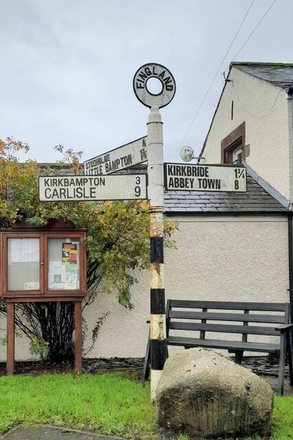
Fingland
Fingland is a hamlet in the Allerdale district, in the county of Cumbria, England. Fingland is located on the B5307 road in between the villages of Kirkbride...
Oughterby
Oughterby is a hamlet in the English county of Cumbria. It is near the city of Carlisle and the village of Kirkbampton. For transport there is the B5307...

Drumburgh
Drumburgh ( DRUM-bruff) is a small settlement in Cumbria, England. It is 13 kilometres (8 mi) northwest of the city of Carlisle and is on the course of...

Aikton
Aikton is a small village in the north of the English county of Cumbria. The nearest town is Wigton 3 miles away, and the nearest city is Carlisle at 8...

Drumburgh railway station
Drumburgh railway station was near the village of Drumburgh (pronounced "Drumbruff"), Cumbria, England. It was the junction station for the Port Carlisle...

New Dykes Brow railway station
New Dykes Brow was an early, short lived railway station near Fingland, Cumbria on the Carlisle & Silloth Bay Railway & Dock Company's branch from Carlisle...
Nearby Amenities
Located within 500m of 54.897662,-3.1394209Have you been to Brownrigg Plantation?
Leave your review of Brownrigg Plantation below (or comments, questions and feedback).